Newcastle Higher
Community in Glamorgan
Wales
Newcastle Higher
The requested URL returned error: 429 Too Many Requests
If you have any feedback on the listing, please let us know in the comments section below.
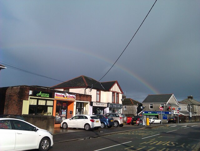
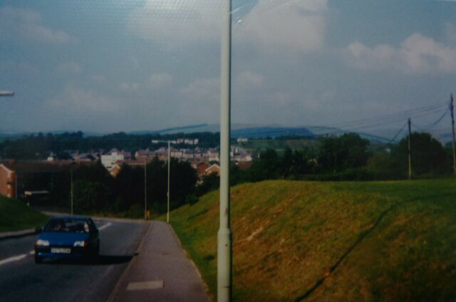
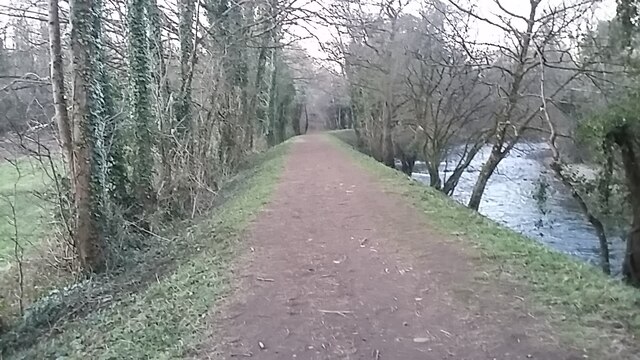
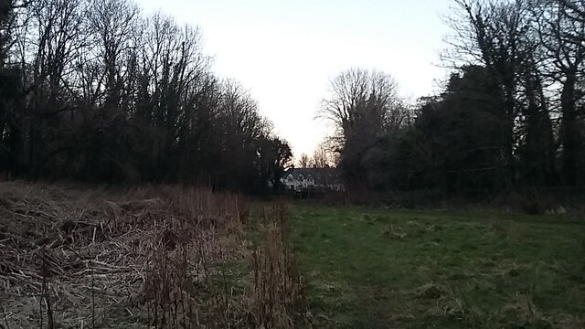
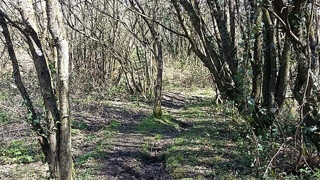
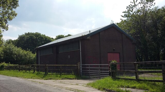
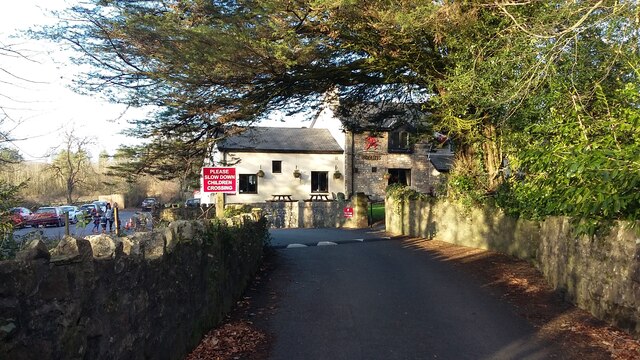
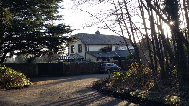
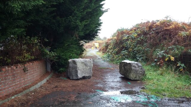
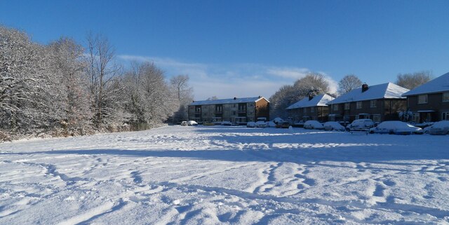
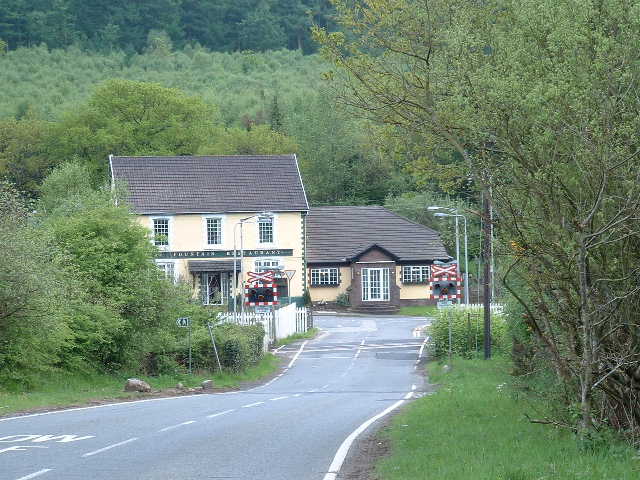
Newcastle Higher Images
Images are sourced within 2km of 51.539425/-3.609035 or Grid Reference SS8883. Thanks to Geograph Open Source API. All images are credited.


Newcastle Higher is located at Grid Ref: SS8883 (Lat: 51.539425, Lng: -3.609035)
Unitary Authority: Bridgend
Police Authority: South Wales
Also known as: Y Castellnewydd
What 3 Words
///grapes.shall.jukebox. Near Aberkenfig, Bridgend
Nearby Locations
Related Wikis

Parc Slip Colliery
Parc Slip Colliery was a coal mine near situated at Aberkenfig, near Tondu in Bridgend County Borough, Wales. == History == === Parc Slip Colliery: 1860... ===

Newcastle Higher
Newcastle Higher is a community in Bridgend County Borough, south Wales. Located north west of Bridgend town centre it is made up of the townships of Pen...
Aberkenfig
Aberkenfig (Welsh: Abercynffig, meaning "mouth of the Kenfig" (stream)) is a village located in the County Borough of Bridgend, Wales to the north of Bridgend...
Garw Valley Railway
The Garw Valley Railway is the trading name of the Bridgend Valleys Railway Company Limited. It operates a short section of 4 ft 8+1⁄2 in (1,435 mm) standard...
Nearby Amenities
Located within 500m of 51.539425,-3.609035Have you been to Newcastle Higher?
Leave your review of Newcastle Higher below (or comments, questions and feedback).