Ffridd Ddol-gau
Wood, Forest in Merionethshire
Wales
Ffridd Ddol-gau

Ffridd Ddol-gau is a picturesque woodland located in the county of Merionethshire, Wales. Situated within the Snowdonia National Park, it covers an area of approximately 30 hectares and is renowned for its natural beauty and diverse flora and fauna.
The woodland consists predominantly of oak and ash trees, which create a dense canopy providing shelter for a wide range of wildlife. The forest floor is covered in a rich carpet of mosses, ferns, and wildflowers, adding to the enchanting atmosphere of the area.
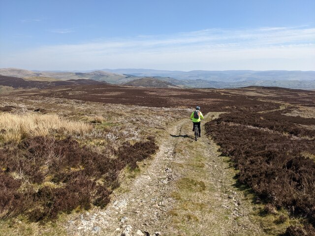
Ffridd Ddol-gau is intersected by a network of footpaths and trails, making it a popular destination for nature enthusiasts and hikers. These paths offer stunning views of the surrounding mountains and valleys, providing visitors with a unique and immersive experience in the heart of nature.
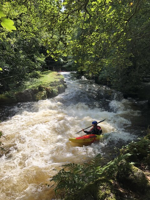
The woodland is home to a diverse range of animal species, including red squirrels, badgers, foxes, and a variety of bird species. There are also several small streams and ponds within Ffridd Ddol-gau, providing habitats for amphibians and insects.
Due to its ecological significance, Ffridd Ddol-gau is designated as a Site of Special Scientific Interest (SSSI) and is protected by conservation laws. The local authorities and organizations work together to ensure the preservation of this unique woodland and its inhabitants, promoting sustainable practices and managing any potential threats to the ecosystem.
In conclusion, Ffridd Ddol-gau in Merionethshire is a stunning woodland within the Snowdonia National Park, offering visitors an opportunity to explore and appreciate the beauty of nature. Its diverse ecosystem, captivating scenery, and tranquil atmosphere make it a must-visit destination for nature lovers and outdoor enthusiasts.
If you have any feedback on the listing, please let us know in the comments section below.
Ffridd Ddol-gau Images
Images are sourced within 2km of 52.960076/-3.6596016 or Grid Reference SH8841. Thanks to Geograph Open Source API. All images are credited.


Ffridd Ddol-gau is located at Grid Ref: SH8841 (Lat: 52.960076, Lng: -3.6596016)
Unitary Authority: Gwynedd
Police Authority: North Wales
What 3 Words
///cove.walked.tumblers. Near Bala, Gwynedd
Nearby Locations
Related Wikis
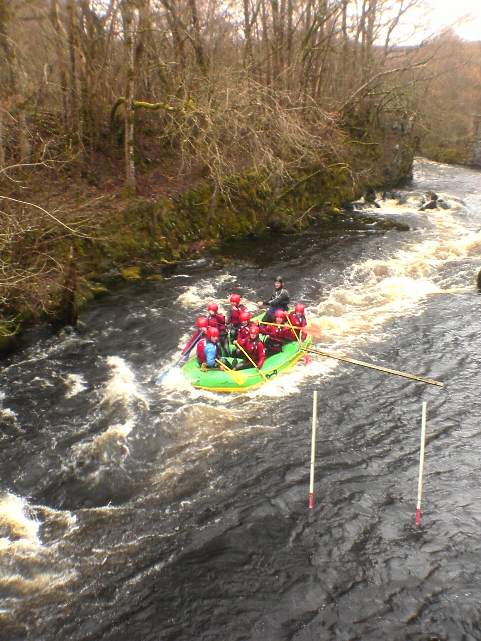
Canolfan Tryweryn
Canolfan Tryweryn is the National White Water Centre for Wales, and is based near Bala in north Wales. In 1986, it developed the first commercial white...

Tyddyn Bridge Halt railway station
Tyddyn Bridge Halt was a railway station which served the village of Frongoch, Gwynedd, Wales. It was on the Great Western Railway's (GWR's) Bala Ffestiniog...

Llyn Celyn
Llyn Celyn (Welsh pronunciation: [ɬɨ̞n ˈkɛlɨ̞n]) is a reservoir constructed between 1960 and 1965 including the highly controversial Tryweryn flooding...

North Wales
North Wales (Welsh: Gogledd Cymru) is a region of Wales, encompassing its northernmost areas. It borders mid Wales to the south, England to the east, and...
Frongoch
Frongoch is a village located in Gwynedd, Wales. It lies close to the market town of Bala, on the A4212 road. It was the home of the Frongoch internment...

Frongoch railway station
Frongoch railway station served the village of Frongoch on the Great Western Railway's Bala Ffestiniog Line in Gwynedd, Wales.The station closed to passengers...

Frongoch internment camp
Frongoch internment camp at Frongoch in Merionethshire, Wales was a makeshift place of imprisonment during the First World War and the 1916 Easter Rising...

Carnedd y Filiast (Cerrigydrudion)
Carnedd y Filiast is a mountain near Cerrigydrudion on the border of the Snowdonia National Park, North Wales and is 669 metres (2,195 ft) high. ��2...
Nearby Amenities
Located within 500m of 52.960076,-3.6596016Have you been to Ffridd Ddol-gau?
Leave your review of Ffridd Ddol-gau below (or comments, questions and feedback).