Darran Wood
Wood, Forest in Glamorgan
Wales
Darran Wood
Darran Wood, located in Glamorgan, Wales, is a picturesque forest renowned for its natural beauty and rich biodiversity. Spanning over a vast area, the wood is a haven for nature enthusiasts and hikers alike.
The forest is characterized by its dense canopy of predominantly deciduous trees, including oak, beech, and birch, which create a vibrant and colorful landscape throughout the year. The woodland floor is adorned with a variety of wildflowers, ferns, and mosses, adding to the enchanting atmosphere of the area.
Darran Wood is home to a diverse array of wildlife, making it a popular destination for birdwatchers and wildlife photographers. Bird species such as the great spotted woodpecker, tawny owl, and various warblers can be spotted here, while mammals like foxes, badgers, and deer can also be encountered during a walk through the forest.
Numerous walking trails crisscross the wood, catering to both leisurely strolls and more challenging hikes. These trails offer visitors the opportunity to explore the forest's hidden gems, including cascading streams, tranquil ponds, and secluded picnic spots. The wood also boasts a well-maintained network of mountain biking trails, providing an exhilarating experience for cycling enthusiasts.
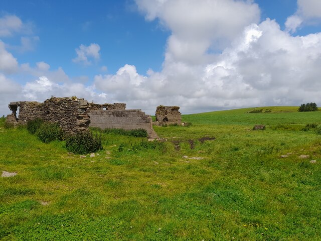
In addition to its natural beauty, Darran Wood holds historical significance as well. The forest has been a part of the local community for centuries, serving as a source of timber and fuel. Today, it remains an important recreational area for locals and tourists alike, offering a peaceful escape from the hustle and bustle of everyday life.
Overall, Darran Wood in Glamorgan is a captivating destination that combines natural splendor with historical charm, making it a must-visit location for nature lovers and outdoor enthusiasts.
If you have any feedback on the listing, please let us know in the comments section below.
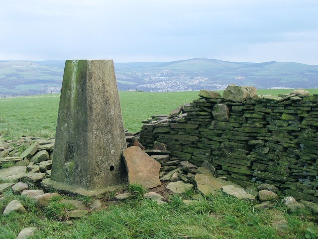
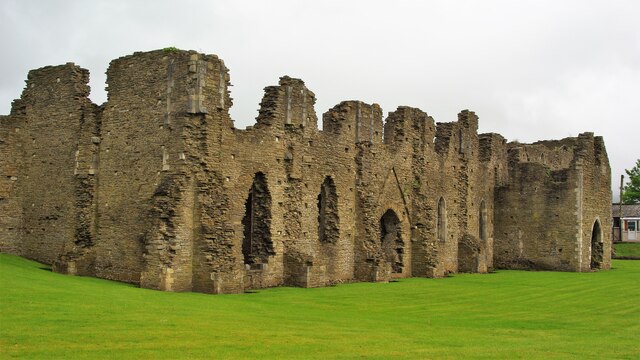
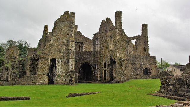
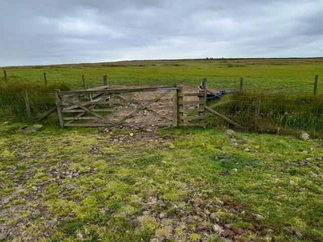
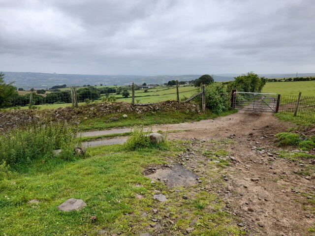
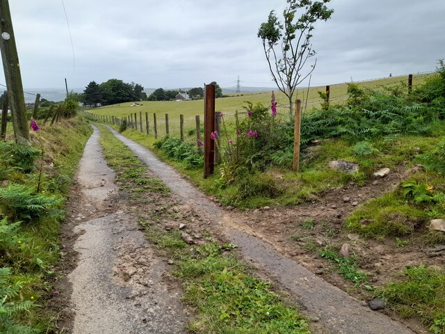
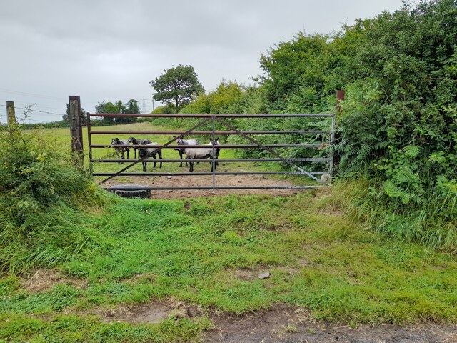
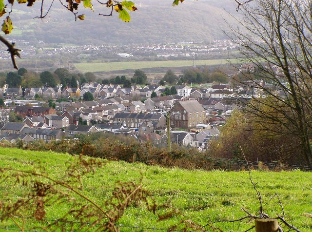
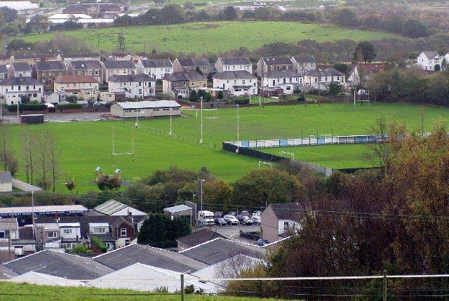
Darran Wood Images
Images are sourced within 2km of 51.669435/-3.8448692 or Grid Reference SS7298. Thanks to Geograph Open Source API. All images are credited.


Darran Wood is located at Grid Ref: SS7298 (Lat: 51.669435, Lng: -3.8448692)
Unitary Authority: Neath Port Talbot
Police Authority: South Wales
What 3 Words
///sleepless.succeed.breeze. Near Neath, Neath Port Talbot
Nearby Locations
Related Wikis

Skewen Dram Road
The Skewen Dram Road was a 3 miles (5 km) long mining railway near Skewen in Wales with a gauge of 2 feet 7+1⁄2 inches (800 mm). == Route == The railway...

Neath Abbey television relay station
The Neath Abbey television relay station is sited on a hill north of the town of Neath. It was originally built in the 1980s as a fill-in relay for UHF...
Coedffranc North
Coedffranc North is an electoral ward of Neath Port Talbot county borough, Wales. is a part of the Coedffranc community and falls within the parliamentary...
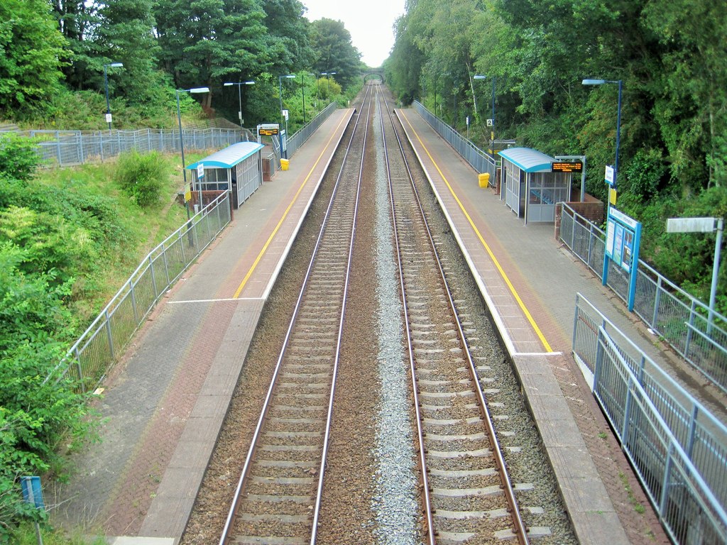
Skewen railway station
Skewen railway station serves the village of Skewen, south Wales. It is located below street level at Station Road in Skewen, 210 miles 26 chains (338...
Nearby Amenities
Located within 500m of 51.669435,-3.8448692Have you been to Darran Wood?
Leave your review of Darran Wood below (or comments, questions and feedback).