Allt-y-Gigfran
Wood, Forest in Cardiganshire
Wales
Allt-y-Gigfran
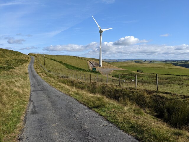
Allt-y-Gigfran is a small woodland located in the county of Cardiganshire, Wales. Covering an area of approximately 50 hectares, it is situated on the eastern slopes of the Cambrian Mountains. The woodland is predominantly made up of native broadleaf trees such as oak, ash, birch, and rowan, creating a diverse and vibrant ecosystem.
The woodland is known for its rich biodiversity, providing a habitat for a wide range of flora and fauna. It is home to several species of birds, including woodpeckers, owls, and various songbirds. The forest floor is adorned with a variety of wildflowers, ferns, and mosses, adding to the natural beauty of the area.
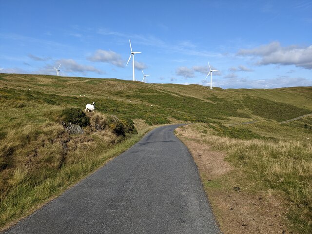
Allt-y-Gigfran offers a peaceful and tranquil environment, making it popular among nature enthusiasts and hikers. There are several well-maintained trails that wind through the woodland, providing opportunities for visitors to explore and appreciate the natural surroundings. The trails vary in difficulty, accommodating both casual walkers and more experienced hikers.
The woodland also has historical significance, with evidence of human activity dating back to prehistoric times. There are remnants of ancient settlements and burial sites, adding an additional layer of intrigue to the area.
Allt-y-Gigfran is a valuable natural resource and is protected under conservation efforts. It serves as an important ecological corridor, linking other nearby woodlands and contributing to the overall health of the local ecosystem. Its beauty and ecological significance make it a cherished natural asset in the county of Cardiganshire.
If you have any feedback on the listing, please let us know in the comments section below.
Allt-y-Gigfran Images
Images are sourced within 2km of 52.390052/-3.8741328 or Grid Reference SN7278. Thanks to Geograph Open Source API. All images are credited.


Allt-y-Gigfran is located at Grid Ref: SN7278 (Lat: 52.390052, Lng: -3.8741328)
Unitary Authority: Ceredigion
Police Authority: Dyfed Powys
What 3 Words
///conjured.graceful.retrain. Near Cwmystwyth, Ceredigion
Nearby Locations
Related Wikis
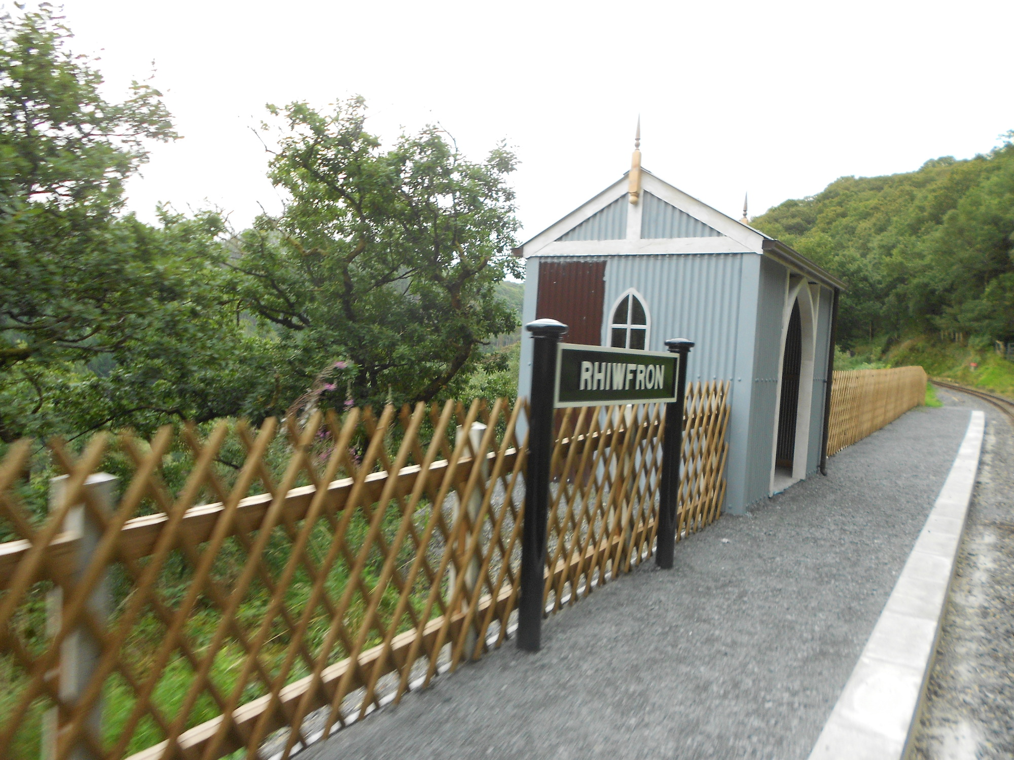
Rhiwfron railway station
Rhiwfron railway station is a railway station serving Rhiwfron in Ceredigion in Mid-Wales. It is an intermediate station on the preserved Vale of Rheidol...
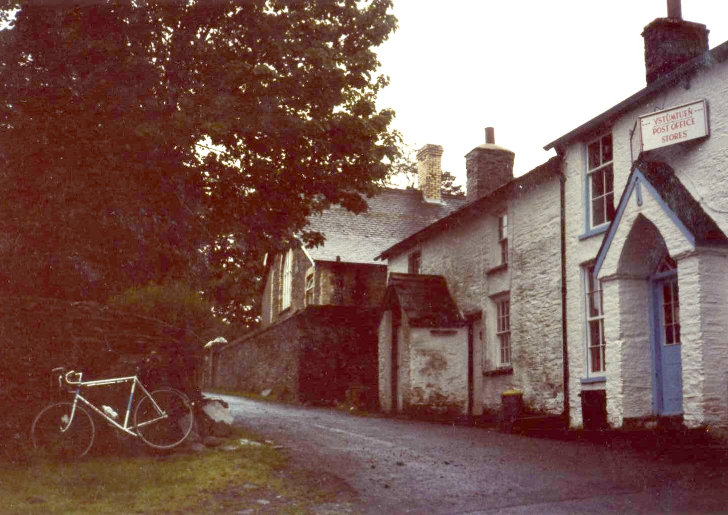
Ystumtuen
Ystumtuen is a small village in northern Ceredigion, Wales. It is situated above the valley of the River Rheidol.It is situated on rocks rich in lead...

Coed Rheidol National Nature Reserve
Coed Rheidol National Nature Reserve forms part of the long ribbon of woodland adjoining the Afon Mynach and Afon Rheidol around the lower slopes of hills...

Rheidol Falls railway station
Rheidol Falls railway station is a railway station serving Rheidol Falls in Ceredigion in Mid-Wales. It is an intermediate station and request stop on...
Nearby Amenities
Located within 500m of 52.390052,-3.8741328Have you been to Allt-y-Gigfran?
Leave your review of Allt-y-Gigfran below (or comments, questions and feedback).