Brithdir Wood
Wood, Forest in Glamorgan
Wales
Brithdir Wood

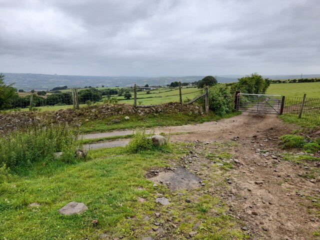
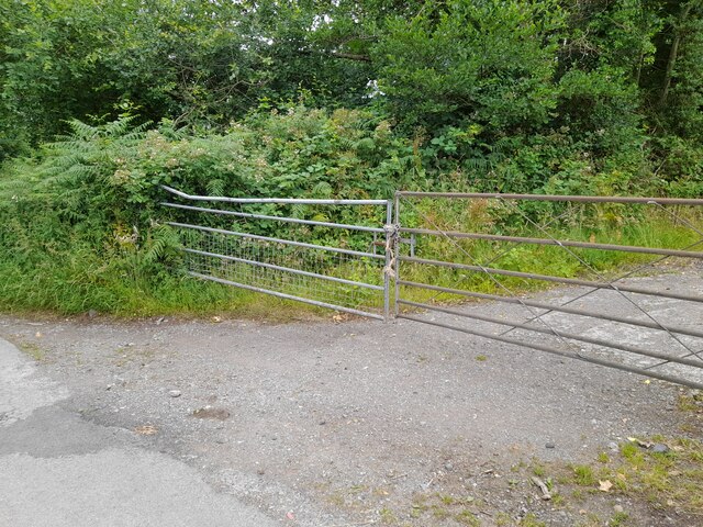
Brithdir Wood is a scenic woodland area located in the county of Glamorgan, Wales. Covering an expansive area of approximately 200 acres, this woodland is a haven for nature lovers and outdoor enthusiasts. Situated on the outskirts of the village of Brithdir, the wood is easily accessible by both car and public transport.
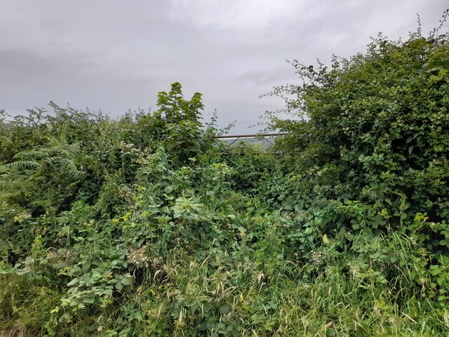
The woodland is primarily comprised of ancient broadleaf trees, including oak, beech, and ash, which provide a stunning backdrop throughout the year. The canopy formed by these majestic trees creates a cool and shaded environment, making it a popular destination for summer hikes and picnics.
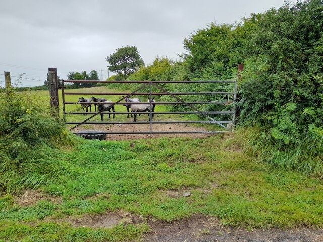
The wood is home to a diverse range of wildlife, including various species of birds, small mammals, and insects. Nature enthusiasts can often spot red kites soaring overhead, while lucky visitors may catch a glimpse of a shy fox or a group of playful squirrels.
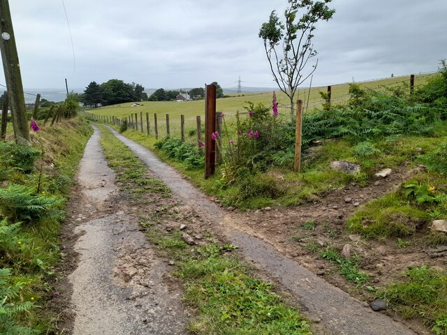
For those seeking a more active experience, Brithdir Wood features several well-maintained walking trails that cater to different fitness levels. These trails wind their way through the wood, offering visitors the chance to explore the peaceful surroundings and discover hidden gems such as tranquil ponds and moss-covered rocks.
Visitors to Brithdir Wood can also take advantage of the designated camping and picnic areas, which provide the perfect opportunity to enjoy a relaxing day out with family and friends. Additionally, the wood is equipped with basic facilities, including toilets and parking, ensuring a comfortable visit for all.
Overall, Brithdir Wood is a beautiful and serene woodland that offers a range of activities for nature enthusiasts, making it an ideal destination for a day trip or a weekend getaway.
If you have any feedback on the listing, please let us know in the comments section below.
Brithdir Wood Images
Images are sourced within 2km of 51.667168/-3.8517761 or Grid Reference SS7298. Thanks to Geograph Open Source API. All images are credited.


Brithdir Wood is located at Grid Ref: SS7298 (Lat: 51.667168, Lng: -3.8517761)
Unitary Authority: Neath Port Talbot
Police Authority: South Wales
What 3 Words
///folds.waving.defrost. Near Neath, Neath Port Talbot
Nearby Locations
Related Wikis

Coedffranc North
Coedffranc North is an electoral ward of Neath Port Talbot county borough, Wales. is a part of the Coedffranc community and falls within the parliamentary...
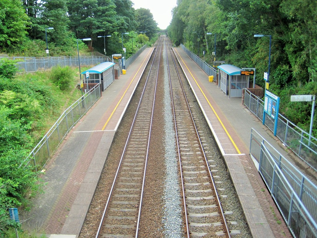
Skewen railway station
Skewen railway station serves the village of Skewen, south Wales. It is located below street level at Station Road in Skewen, 210 miles 26 chains (338...
Coedffranc Central
Coedffranc Central is an electoral ward of Neath Port Talbot county borough, Wales. Coedffranc Central is a part of the Coedffranc community and falls...
Skewen
Skewen (Welsh: Sgiwen) is a village within the county borough of Neath Port Talbot, in Wales. The village is served by Skewen railway station and has...
Neath Abbey television relay station
The Neath Abbey television relay station is sited on a hill north of the town of Neath. It was originally built in the 1980s as a fill-in relay for UHF...

Skewen Dram Road
The Skewen Dram Road was a 3 miles (5 km) long mining railway near Skewen in Wales with a gauge of 2 feet 7+1⁄2 inches (800 mm). == Route == The railway...
Dyffryn Clydach
Dyffryn Clydach is a community of Neath Port Talbot county borough, Wales, between Neath and Swansea. == Description == Dyffryn Clydach includes the residential...
Neath Abbey railway station
Neath Abbey railway station served the town of Neath, in the historical county of Glamorganshire, Wales, from 1863 to 1936 on the Vale of Neath Railway...
Nearby Amenities
Located within 500m of 51.667168,-3.8517761Have you been to Brithdir Wood?
Leave your review of Brithdir Wood below (or comments, questions and feedback).