Coed Cwmbreichiau
Wood, Forest in Merionethshire
Wales
Coed Cwmbreichiau

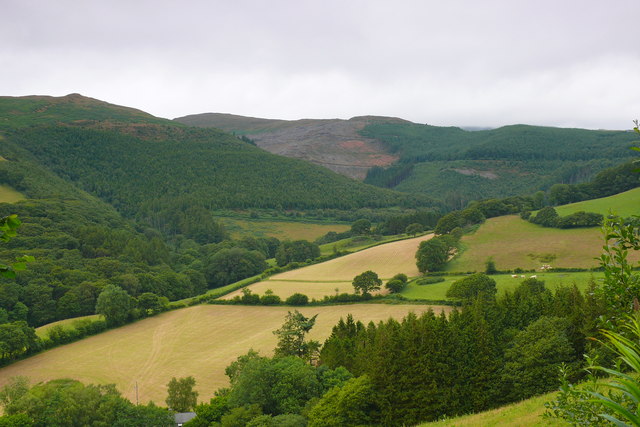
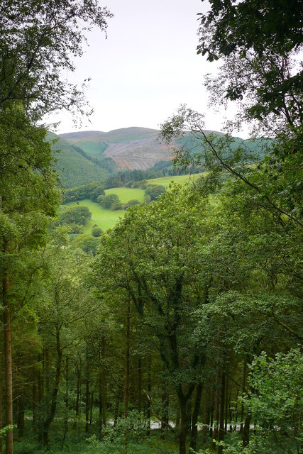
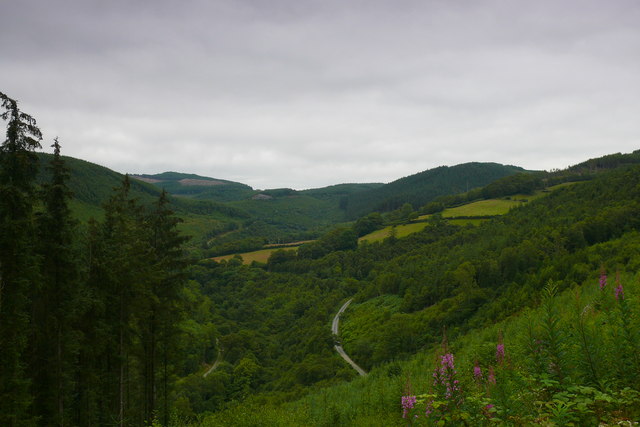
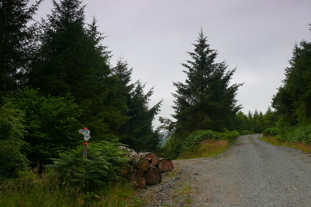
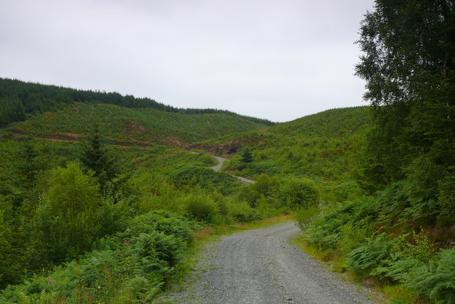
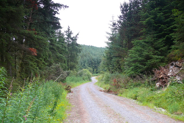
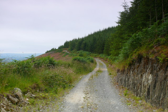
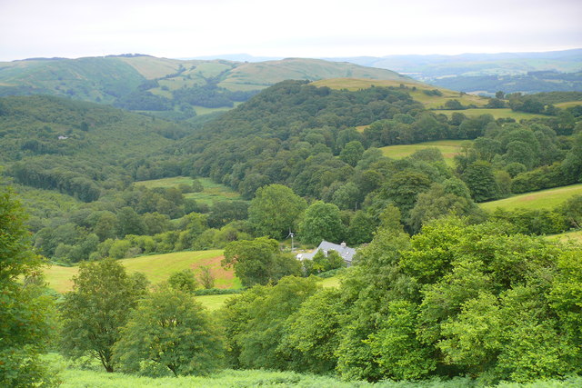
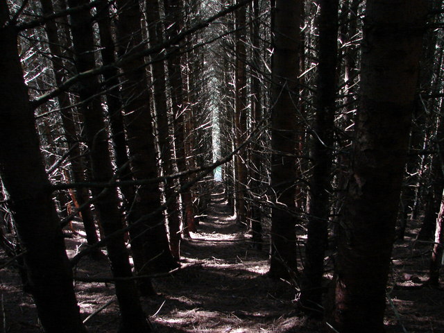
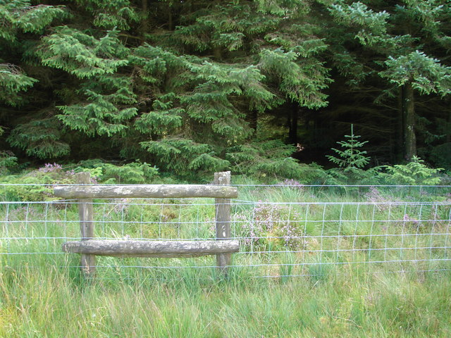
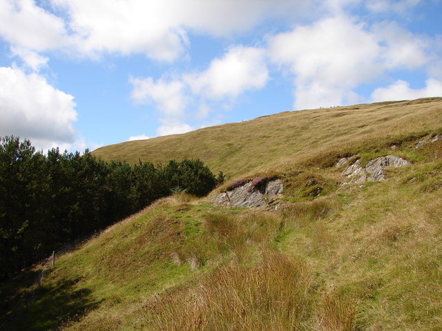
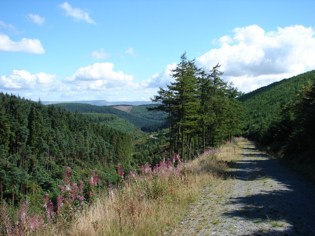
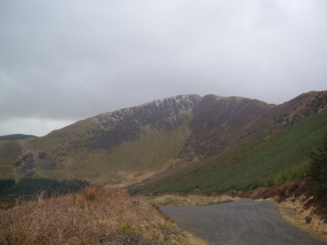
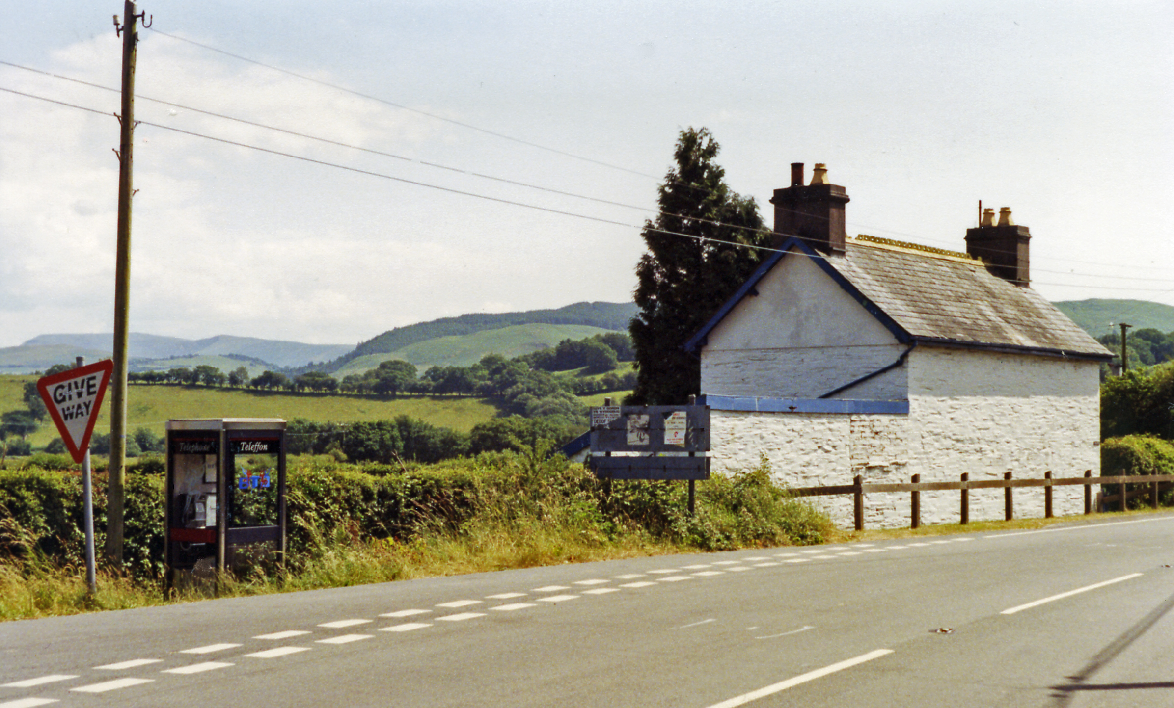
Coed Cwmbreichiau is a small village located in Merionethshire, Wales. Situated in a picturesque valley, the village is surrounded by lush green forests, earning its name which translates to "Wood, Forest" in English. This rural area is renowned for its natural beauty and tranquility, attracting visitors who seek a peaceful escape from the hustle and bustle of city life.
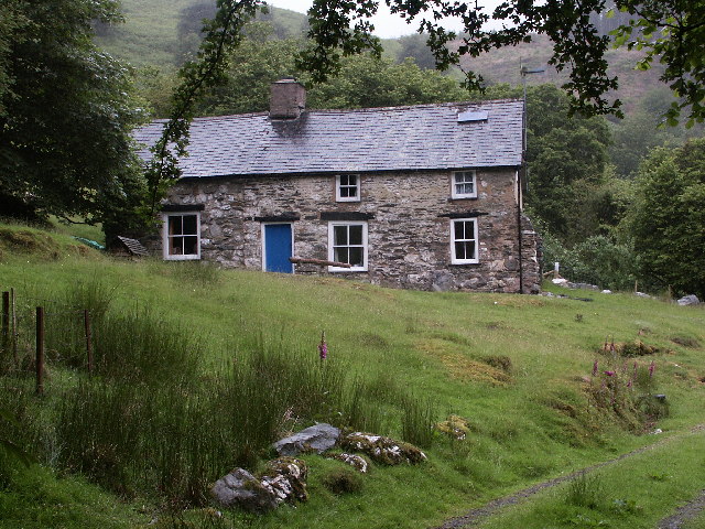
The village is home to a close-knit community, consisting of a handful of houses and farms. The residents take pride in their surroundings and work together to preserve the natural environment. The dense woodlands that envelop the village are diverse in flora and fauna, making it a haven for nature enthusiasts and bird watchers.
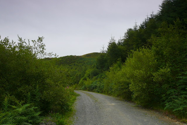
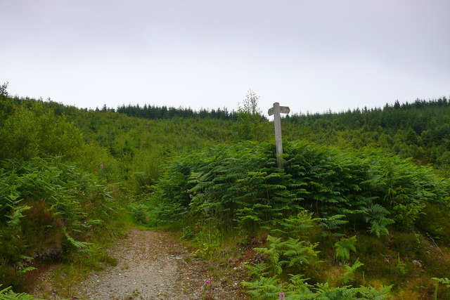
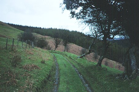
Coed Cwmbreichiau offers various outdoor activities for visitors to enjoy. Hiking and walking trails crisscross the area, allowing visitors to explore the enchanting woods and discover hidden gems along the way. The nearby rivers and streams offer opportunities for fishing and canoeing, adding to the charm and recreational options available.
The village is also famous for its annual Woodland Festival, which celebrates the unique heritage and culture of the area. The festival features traditional music, arts and crafts, and local delicacies, providing a glimpse into the rich history and traditions of the village.
Despite its remote location, Coed Cwmbreichiau is easily accessible by road, making it a popular destination for day trips or weekend getaways. Whether it's immersing oneself in nature, experiencing local customs, or simply enjoying the tranquility of a rural setting, Coed Cwmbreichiau offers a truly idyllic experience for visitors.
If you have any feedback on the listing, please let us know in the comments section below.
Coed Cwmbreichiau Images
Images are sourced within 2km of 52.608785/-3.8913777 or Grid Reference SH7202. Thanks to Geograph Open Source API. All images are credited.

Coed Cwmbreichiau is located at Grid Ref: SH7202 (Lat: 52.608785, Lng: -3.8913777)
Unitary Authority: Gwynedd
Police Authority: North Wales
What 3 Words
///worth.frail.expiring. Near Machynlleth, Powys
Nearby Locations
Related Wikis

Machynlleth transmitting station
The Machynlleth transmitting station is a broadcasting and telecommunications facility located on a hill about 2.5 kilometres (1.6 mi) west of the town...

River Dyfi
The River Dyfi (Welsh: Afon Dyfi; Welsh pronunciation: [ˈdəviː]), also known as the River Dovey (; DUH-vee), is an approximately 30-mile (48-kilometre...

Dyfi Bridge
The Dyfi Bridge (Welsh: Pont ar Ddyfi), also known as the Machynlleth Bridge, Dovey Bridge, Pont Dyfi or Pont ar Dyfi, is a road bridge carrying the A487...

Machynlleth railway station
Machynlleth railway station is on the Cambrian Line in mid-Wales, serving the town of Machynlleth. It was built by the Newtown and Machynlleth Railway...

Llugwy Hall
Llugwy is the name of an old property near Pennal, a village on the A493 road in southern Gwynedd, Wales, on the north bank of the Afon Dyfi/River Dovey...
Tarren y Gesail
Tarren y Gesail is a mountain in Snowdonia, north Wales. It is one of the Marilyns of the Cadair Idris group. Lying to the south of Cadair Idris, it and...
Garnedd-Wen Formation
The Garnedd-Wen Formation (also known as the Garnedd-Wen Beds) is an Ordovician lithostratigraphic formation (a sequence of rock strata) in Mid Wales....
Ffridd Gate railway station
Ffridd Gate was a station on the Corris Railway in Merioneth (now Gwynedd), Wales, UK. It was built at the level crossing over the B4404 road to Llanwrin...
Have you been to Coed Cwmbreichiau?
Leave your review of Coed Cwmbreichiau below (or comments, questions and feedback).