Pen Lan
Hill, Mountain in Glamorgan
Wales
Pen Lan
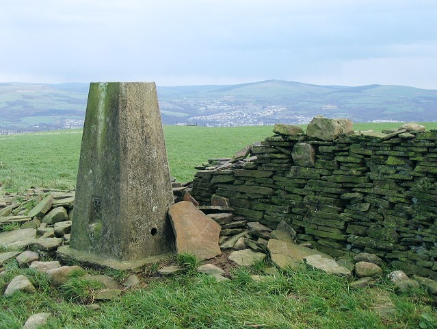
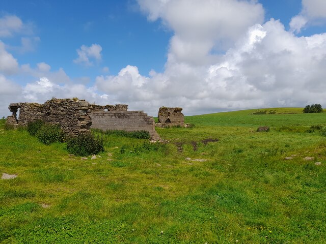
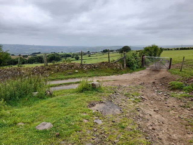
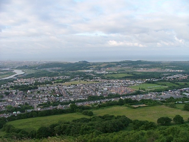
Pen Lan is a prominent hill located in the county of Glamorgan, Wales. It is part of a range of hills that runs from the southern coast of Wales towards the Brecon Beacons National Park. Rising to an elevation of approximately 382 meters (1,253 feet), Pen Lan offers stunning panoramic views of the surrounding countryside.
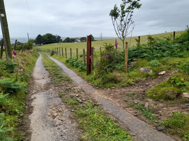
The hill is characterized by its gentle slopes and rolling terrain, covered with lush green vegetation and dotted with scattered trees. Its summit provides a vantage point from which visitors can admire the breathtaking vistas of the nearby coastline, including the Bristol Channel and the towns of Swansea and Port Talbot.
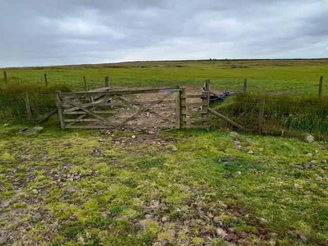
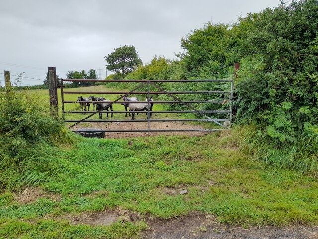
Pen Lan is a popular destination for outdoor enthusiasts, offering a variety of activities such as hiking, walking, and picnicking. There are well-maintained footpaths that traverse the hill, allowing visitors to explore its natural beauty and enjoy the tranquility of the surrounding countryside.
The hill is also rich in wildlife, with numerous species of birds, mammals, and insects calling it home. It provides an important habitat for various species, including buzzards, kestrels, and foxes. Nature lovers can often spot these creatures while exploring the hill's trails.
Overall, Pen Lan is a picturesque and idyllic location that offers a peaceful retreat from the hustle and bustle of city life. Whether it's for a leisurely stroll, a challenging hike, or simply to enjoy the stunning vistas, Pen Lan is a must-visit destination for nature enthusiasts and those seeking a moment of tranquility in the heart of Glamorgan.
If you have any feedback on the listing, please let us know in the comments section below.
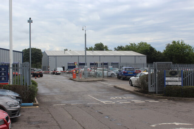
Pen Lan Images
Images are sourced within 2km of 51.668004/-3.8478045 or Grid Reference SS7298. Thanks to Geograph Open Source API. All images are credited.


Pen Lan is located at Grid Ref: SS7298 (Lat: 51.668004, Lng: -3.8478045)
Unitary Authority: Neath Port Talbot
Police Authority: South Wales
What 3 Words
///paddlers.steamed.covenants. Near Neath, Neath Port Talbot
Nearby Locations
Related Wikis

Coedffranc North
Coedffranc North is an electoral ward of Neath Port Talbot county borough, Wales. is a part of the Coedffranc community and falls within the parliamentary...
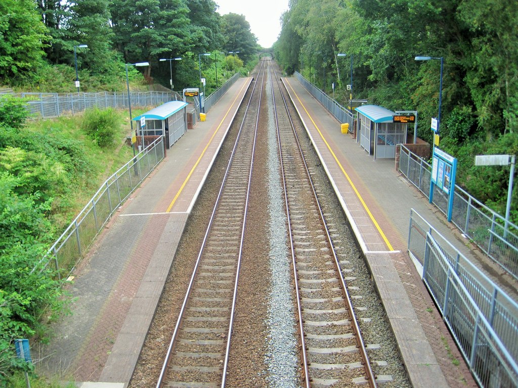
Skewen railway station
Skewen railway station serves the village of Skewen, south Wales. It is located below street level at Station Road in Skewen, 210 miles 26 chains (338...
Neath Abbey television relay station
The Neath Abbey television relay station is sited on a hill north of the town of Neath. It was originally built in the 1980s as a fill-in relay for UHF...

Skewen Dram Road
The Skewen Dram Road was a 3 miles (5 km) long mining railway near Skewen in Wales with a gauge of 2 feet 7+1⁄2 inches (800 mm). == Route == The railway...
Skewen
Skewen (Welsh: Sgiwen) is a village within the county borough of Neath Port Talbot, in Wales. The village is served by Skewen railway station and has...
Coedffranc Central
Coedffranc Central is an electoral ward of Neath Port Talbot county borough, Wales. Coedffranc Central is a part of the Coedffranc community and falls...
Dyffryn Clydach
Dyffryn Clydach is a community of Neath Port Talbot county borough, Wales, between Neath and Swansea. == Description == Dyffryn Clydach includes the residential...
Neath Abbey railway station
Neath Abbey railway station served the town of Neath, in the historical county of Glamorganshire, Wales, from 1863 to 1936 on the Vale of Neath Railway...
Nearby Amenities
Located within 500m of 51.668004,-3.8478045Have you been to Pen Lan?
Leave your review of Pen Lan below (or comments, questions and feedback).