Earl Hill
Hill, Mountain in Ayrshire
Scotland
Earl Hill
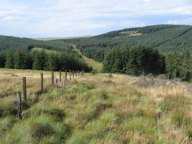
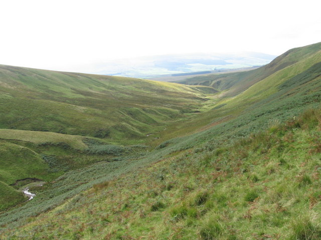
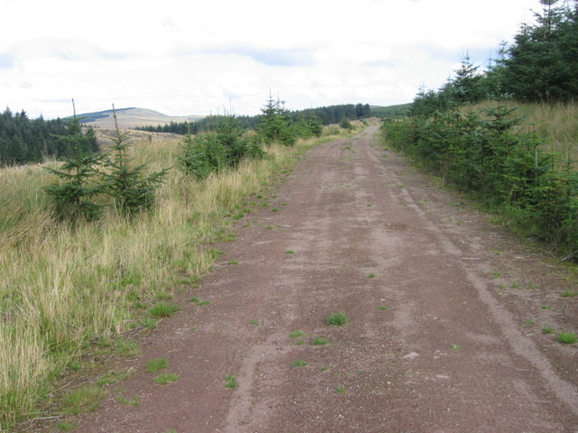
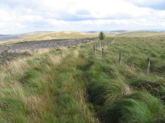
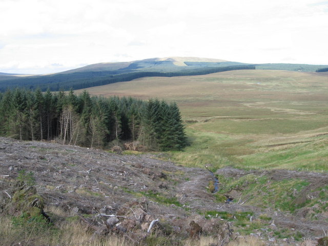
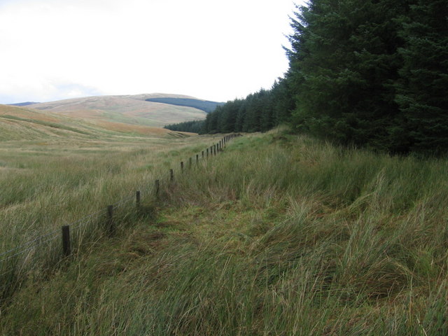
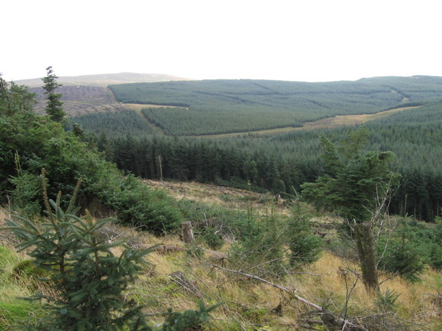
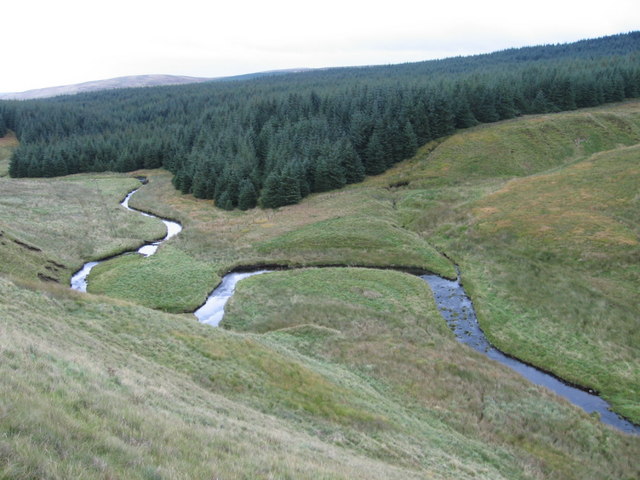
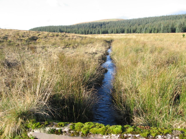
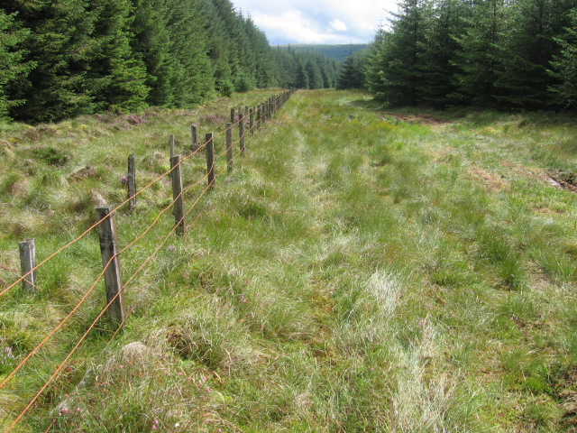
Earl Hill is a prominent landmark located in Ayrshire, Scotland. Situated near the town of Cumnock, the hill is part of the wider Southern Uplands range that spans across the southern region of the country. Rising to an elevation of approximately 380 meters (1,250 feet), Earl Hill offers breathtaking panoramic views of the surrounding countryside.
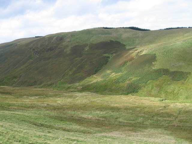
The hill is characterized by its distinctive conical shape, which is a result of its geological formation. Composed mainly of sedimentary rock, it is covered with lush green vegetation that adds to its natural beauty. The slopes are relatively gentle, making it accessible for hikers and outdoor enthusiasts of all levels.
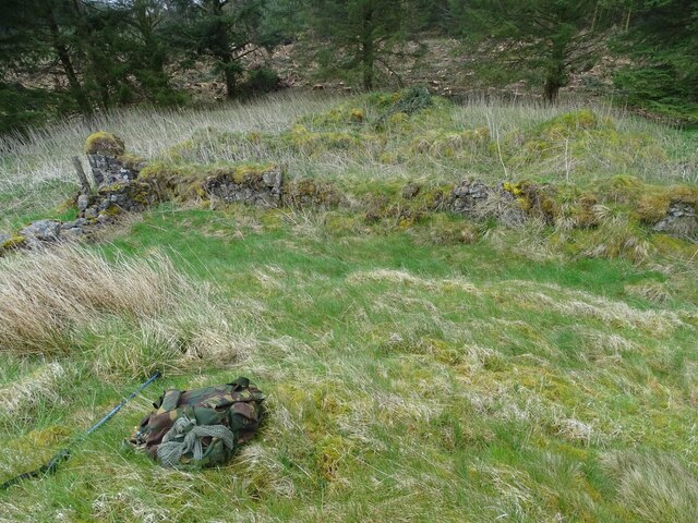
Earl Hill is a popular destination for both locals and tourists due to its scenic vistas and its historical significance. At the summit, there are remnants of an ancient fort, believed to have been constructed during the Iron Age. These ruins provide a glimpse into the rich history of the area and offer visitors a chance to imagine what life was like thousands of years ago.
The hill is also known for its diverse wildlife. Birdwatchers can spot various species of birds, including kestrels, buzzards, and peregrine falcons, soaring through the skies above. Additionally, the surrounding countryside is home to foxes, badgers, and deer, further enhancing the natural appeal of Earl Hill.
Whether it is for a scenic hike, a glimpse into the past, or a chance to connect with nature, Earl Hill in Ayrshire, Scotland, offers a captivating experience for all who visit.
If you have any feedback on the listing, please let us know in the comments section below.
Earl Hill Images
Images are sourced within 2km of 55.439327/-4.0196385 or Grid Reference NS7218. Thanks to Geograph Open Source API. All images are credited.


Earl Hill is located at Grid Ref: NS7218 (Lat: 55.439327, Lng: -4.0196385)
Unitary Authority: East Ayrshire
Police Authority: Ayrshire
What 3 Words
///bulge.showed.fallen. Near Kirkconnel, Dumfries & Galloway
Nearby Locations
Related Wikis

Kirkconnel railway station
Kirkconnel railway station is a railway station in the town of Kirkconnel, Dumfries and Galloway, Scotland. The station is unstaffed, owned by Network...
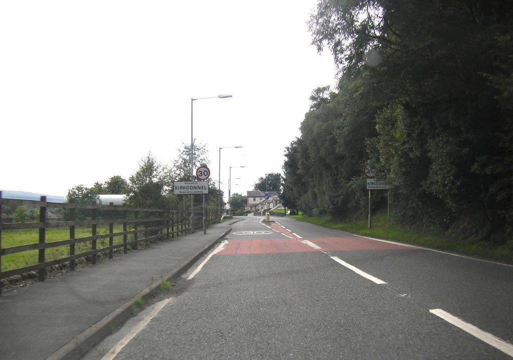
Kirkconnel
Kirkconnel (Gaelic: Cille Chonbhaill) is a small parish in Dumfries and Galloway, southwestern Scotland. It is located on the A76 near the head of Nithsdale...

Kelloside
Kelloside is a historic place south of Kirkconnel parish and the River Nith in Dumfries and Galloway, Dumfriesshire, Scotland. Old Kelloside is located...
Kelloholm
Kelloholm is a village in Dumfries and Galloway, Scotland. It has a primary school, a public house and several shops. Kelloholm lies next to Kirkconnel...

A76 road
The A76 is a major trunk road in south west Scotland. Starting at Kilmarnock in East Ayrshire, the A76 goes through or immediately by-passes Hurlford...
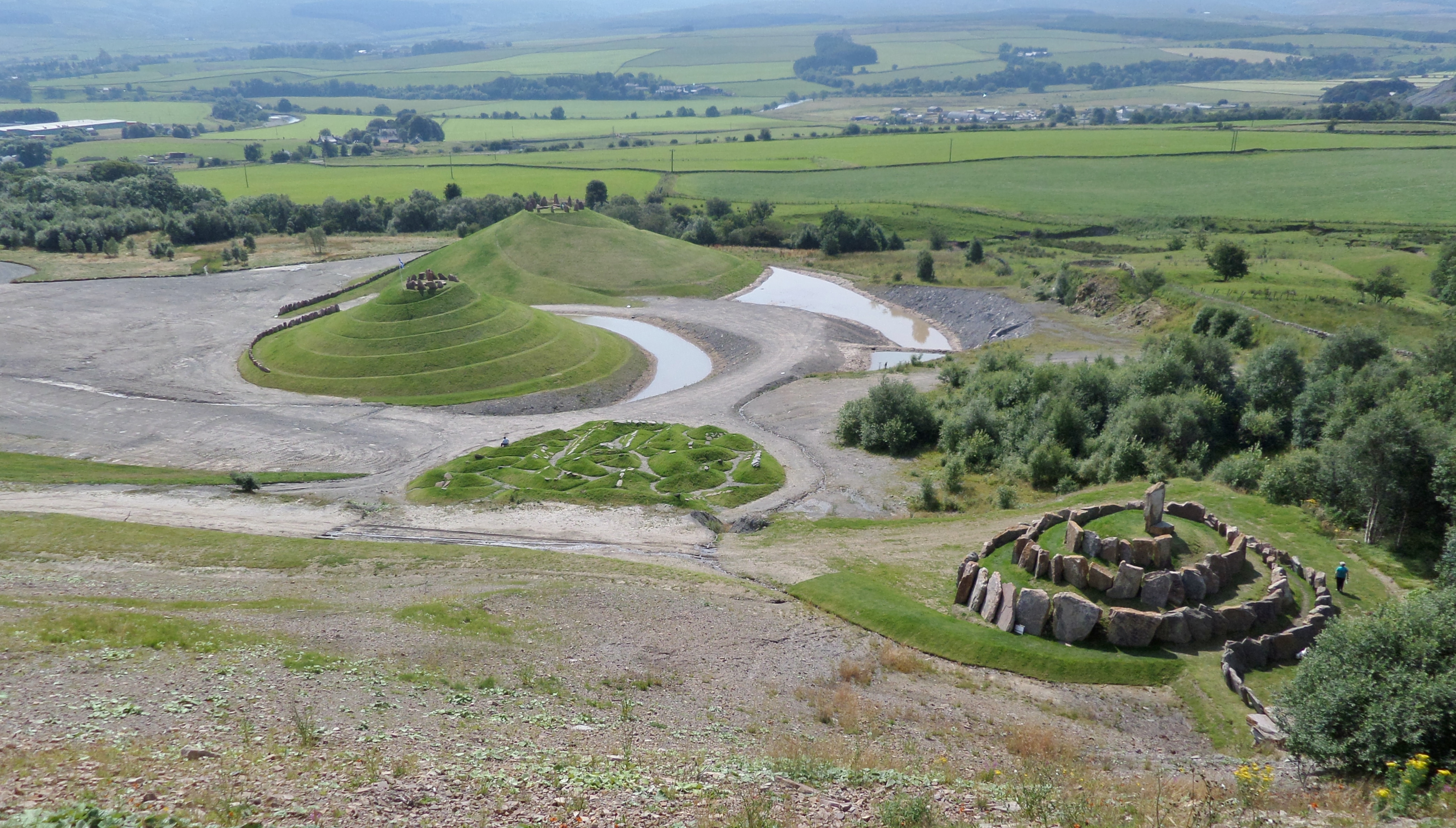
Crawick Multiverse
Crawick Multiverse is a land art project by the landscape architect and designer Charles Jencks near Sanquhar, Dumfries and Galloway. It opened to the...

Whitecleuch Chain
The Whitecleuch Chain is a large Pictish silver chain that was found in Whitecleuch, Lanarkshire, Scotland in 1869. A high status piece, it is likely to...

Holm House and the Crawick Glen
Holm House and the Crawick Glen were originally part of a small estate in the parishes of Kirkconnel and Sanquhar and lay less than a 1 mile (1.6 km) upstream...
Have you been to Earl Hill?
Leave your review of Earl Hill below (or comments, questions and feedback).