Stanley Wood
Wood, Forest in Glamorgan
Wales
Stanley Wood
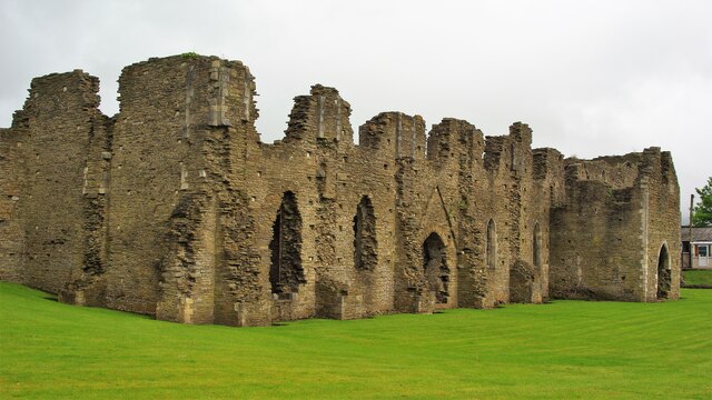
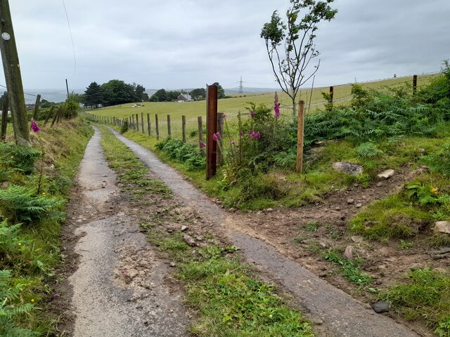
Stanley Wood, Glamorgan, also known as Wood or Forest, is a picturesque village located in the county of Glamorgan, Wales. Nestled amidst lush greenery and surrounded by beautiful woodlands, Stanley Wood offers a tranquil and idyllic setting for residents and visitors alike.
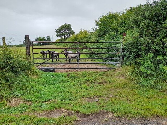
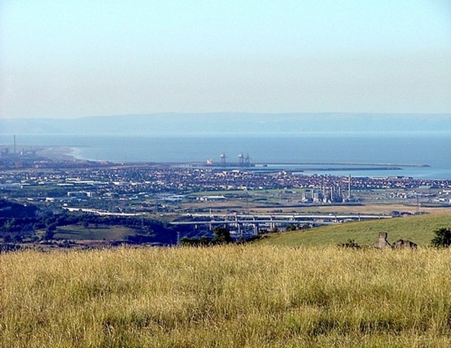
The village is situated in the heart of the Welsh countryside, with stunning views of rolling hills and meandering streams. The woodlands surrounding Stanley Wood are home to a diverse range of flora and fauna, making it a haven for nature enthusiasts and wildlife lovers.
The village itself boasts a charming and close-knit community, with a population of approximately 500 residents. The local residents take great pride in their village and work together to maintain its beauty and character.
Stanley Wood is well-connected to neighboring towns and cities, with good transport links and easy access to major roads. This makes it an ideal location for those who prefer a peaceful rural lifestyle while still enjoying the convenience of nearby amenities.
The village offers a range of amenities and services, including a primary school, a post office, a village hall, and a local pub. There are also several walking and cycling trails in and around the village, allowing residents and visitors to explore the stunning countryside.
Overall, Stanley Wood, Glamorgan is a charming and picturesque village that offers a peaceful and scenic retreat for those seeking a slower pace of life in a beautiful natural setting.
If you have any feedback on the listing, please let us know in the comments section below.
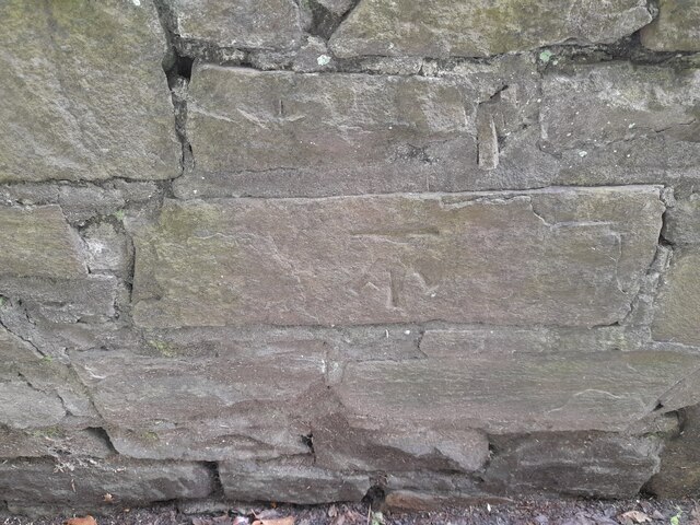
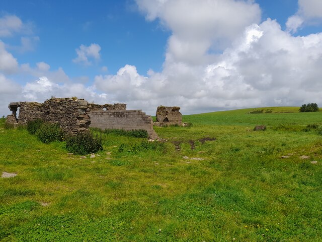
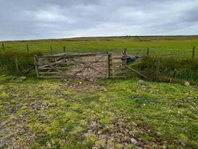
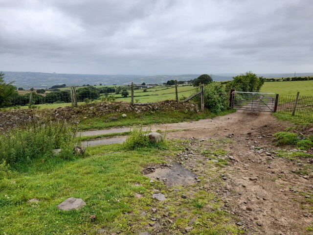
Stanley Wood Images
Images are sourced within 2km of 51.674859/-3.8384365 or Grid Reference SS7298. Thanks to Geograph Open Source API. All images are credited.


Stanley Wood is located at Grid Ref: SS7298 (Lat: 51.674859, Lng: -3.8384365)
Unitary Authority: Neath Port Talbot
Police Authority: South Wales
What 3 Words
///crust.reclining.stores. Near Neath, Neath Port Talbot
Nearby Locations
Related Wikis

Skewen Dram Road
The Skewen Dram Road was a 3 miles (5 km) long mining railway near Skewen in Wales with a gauge of 2 feet 7+1⁄2 inches (800 mm). == Route == The railway...

Dyffryn Clydach
Dyffryn Clydach is a community of Neath Port Talbot county borough, Wales, between Neath and Swansea. == Description == Dyffryn Clydach includes the residential...
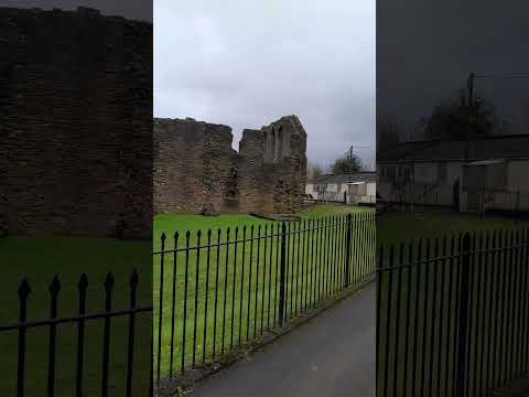
Neath Abbey television relay station
The Neath Abbey television relay station is sited on a hill north of the town of Neath. It was originally built in the 1980s as a fill-in relay for UHF...
Mynydd Drumau
Mynydd Drumau (meaning "Mountain of the Ridges" in English) is a hill in south Wales lying on the border between Swansea and the county of Neath Port Talbot...
Related Videos

Swansea holiday 20/03/23
neath abbey.

Filipina life in Wales UK (Walking at winter time)
Hi guys welcome back to my channel, this vedio guys ng lalakad po ako nito gusto ko lng ipakita sa inyo kung anu ren ang na ...

Have you been to Stanley Wood?
Leave your review of Stanley Wood below (or comments, questions and feedback).