Darran
Settlement in Glamorgan
Wales
Darran

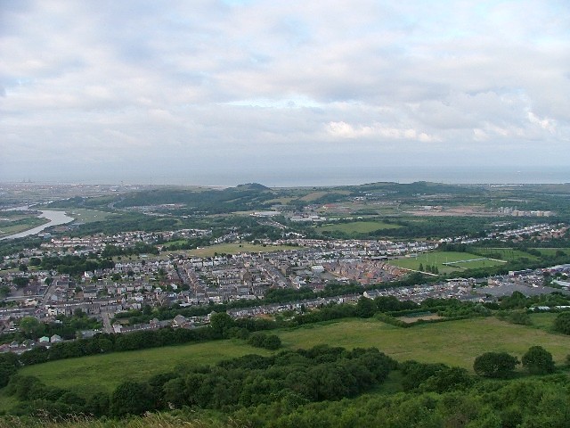
Darran is a small village located in the county of Glamorgan, Wales. Situated in the southern part of the country, Darran is nestled within the picturesque countryside, offering breathtaking views and a tranquil atmosphere.
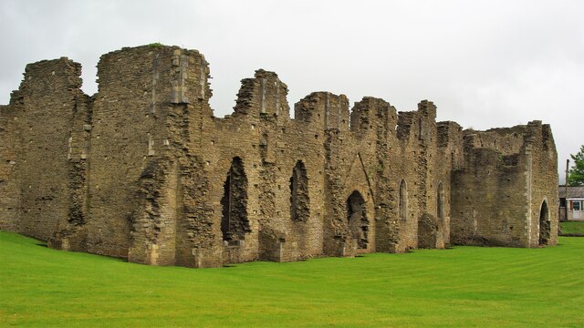
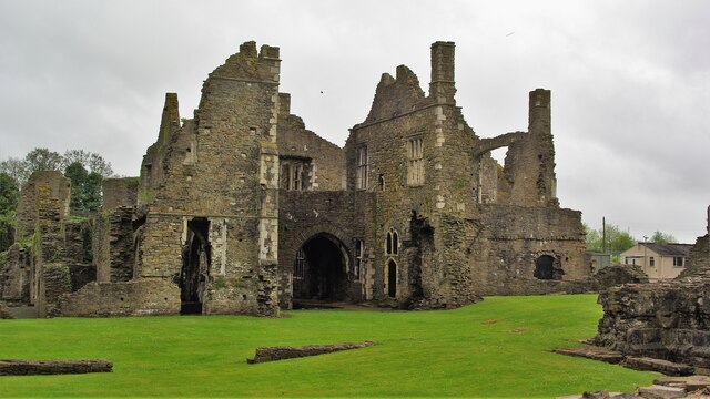
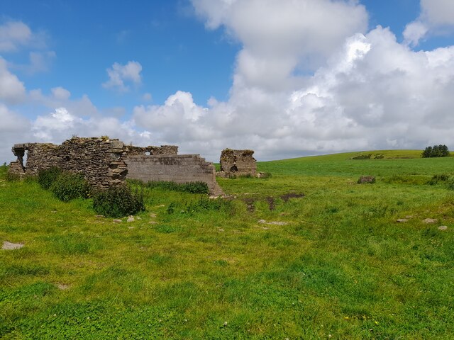
The village is known for its rich history and heritage. It was originally a mining community, with coal mining playing a significant role in its development during the 19th and 20th centuries. Today, remnants of the industrial past can still be seen in the form of old mine buildings and railway tracks.
Darran is home to a close-knit community that values its traditions and maintains a strong sense of community spirit. The village features a range of local amenities, including a primary school, a village hall, and a few small shops. The villagers take pride in organizing various events throughout the year, such as fairs and festivals, which bring the community together.
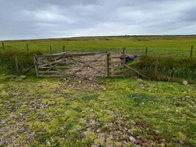
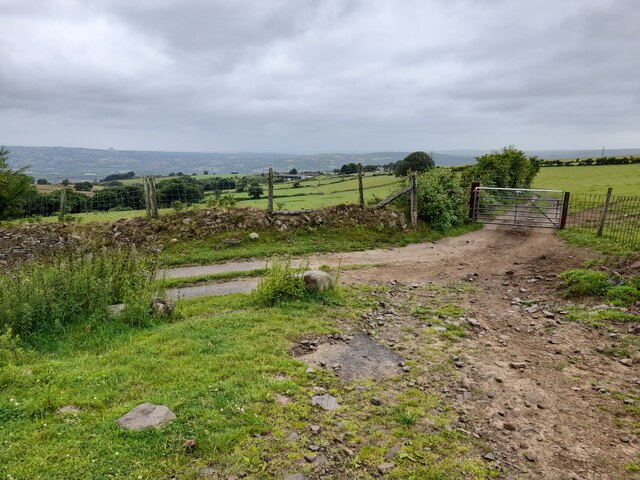
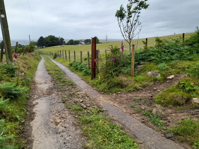
For nature enthusiasts, Darran offers plenty of opportunities to explore the surrounding natural beauty. The village is blessed with rolling hills, lush green fields, and woodlands. There are several walking trails and footpaths that crisscross the area, allowing visitors to immerse themselves in the stunning scenery.
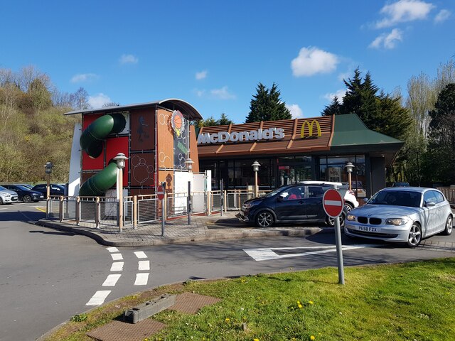
Despite its small size, Darran is conveniently located near larger towns and cities. The nearby towns of Caerphilly and Pontypridd offer a wider range of amenities, including shopping centers, restaurants, and leisure facilities. Additionally, Darran benefits from good transportation links, with regular bus services connecting it to the surrounding areas.
Overall, Darran is a charming village that offers a peaceful and idyllic lifestyle, making it an attractive place to live for those seeking a close community, natural beauty, and a touch of history.
If you have any feedback on the listing, please let us know in the comments section below.
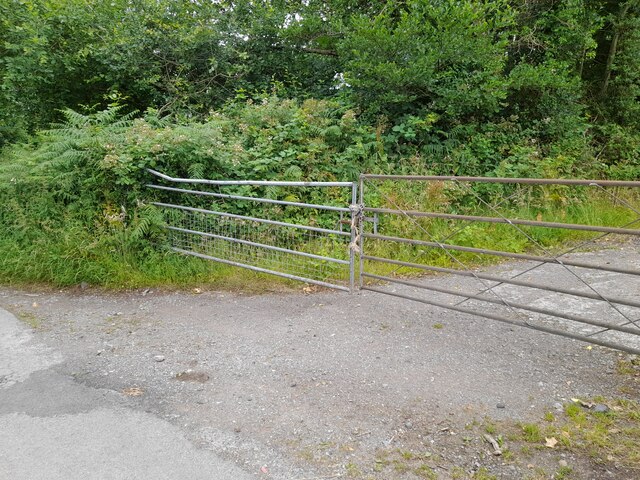
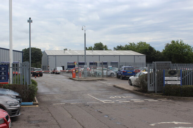
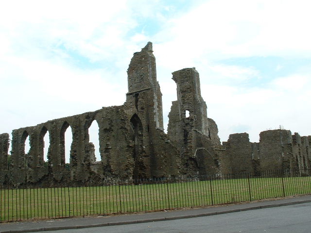
Darran Images
Images are sourced within 2km of 51.666154/-3.8521975 or Grid Reference SS7298. Thanks to Geograph Open Source API. All images are credited.


Darran is located at Grid Ref: SS7298 (Lat: 51.666154, Lng: -3.8521975)
Unitary Authority: Neath Port Talbot
Police Authority: South Wales
What 3 Words
///indicates.officers.pocket. Near Neath, Neath Port Talbot
Nearby Locations
Related Wikis

Coedffranc North
Coedffranc North is an electoral ward of Neath Port Talbot county borough, Wales. is a part of the Coedffranc community and falls within the parliamentary...
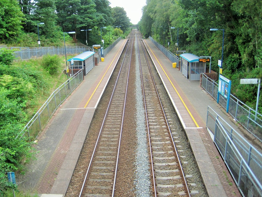
Skewen railway station
Skewen railway station serves the village of Skewen, south Wales. It is located below street level at Station Road in Skewen, 210 miles 26 chains (338...
Coedffranc Central
Coedffranc Central is an electoral ward of Neath Port Talbot county borough, Wales. Coedffranc Central is a part of the Coedffranc community and falls...
Skewen
Skewen (Welsh: Sgiwen) is a village within the county borough of Neath Port Talbot, in Wales. The village is served by Skewen railway station and has...
Nearby Amenities
Located within 500m of 51.666154,-3.8521975Have you been to Darran?
Leave your review of Darran below (or comments, questions and feedback).