Coed Hafod-dywyll

Wood, Forest in Merionethshire

Wales

Coed Hafod-dywyll

The west end of Llyn Gwernan An attractive pool of water nestling in a bit of a hollow. The mountain in the distance is Rhobell Fawr.
The west end of Llyn Gwernan Credit: Nigel Brown

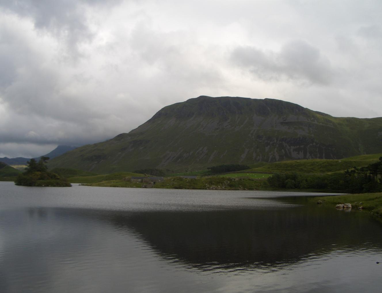
Coed Hafod-dywyll, located in Merionethshire, Wales, is a stunning woodland area known for its natural beauty and rich biodiversity. Spread across an expansive area, this forest is a haven for nature enthusiasts and offers a serene escape from the hustle and bustle of daily life.

The woodland is home to a diverse range of flora and fauna, with ancient oak trees dominating the landscape. These majestic trees, some of which are several hundred years old, create a dense canopy that provides shelter for various species of birds, mammals, and insects.

Walking through Coed Hafod-dywyll, visitors can enjoy the soothing sound of birdsong and the rustling of leaves underfoot. The forest floor is covered in a thick layer of moss and ferns, adding to the enchanting atmosphere. Wildflowers, such as bluebells and primroses, carpet the ground during the spring, creating a vibrant burst of color.

The woodland also boasts several walking trails, allowing visitors to explore the forest at their own pace. These paths wind through the trees, offering breathtaking views of the surrounding countryside and nearby rivers. Along the way, there are picnic spots and benches for visitors to rest and appreciate the tranquil surroundings.

Coed Hafod-dywyll is not only a place of natural beauty but also plays a vital role in conserving the local ecosystem. The forest management ensures sustainable practices are in place, promoting the growth and preservation of the woodland for future generations to enjoy.

Overall, Coed Hafod-dywyll is a captivating woodland that offers a peaceful retreat for those seeking a connection with nature. Its abundant wildlife, ancient trees, and picturesque trails make it a must-visit destination for anyone exploring Merionethshire.

If you have any feedback on the listing, please let us know in the comments section below.

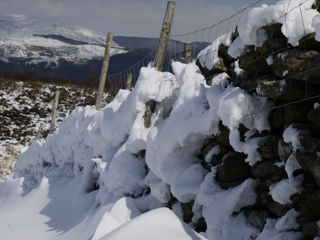
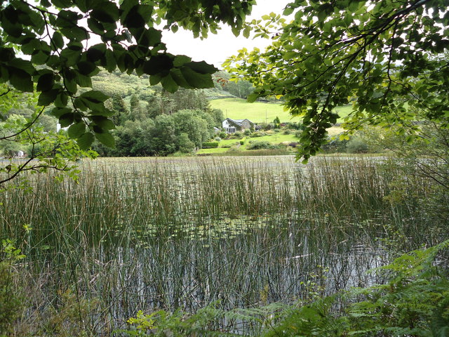
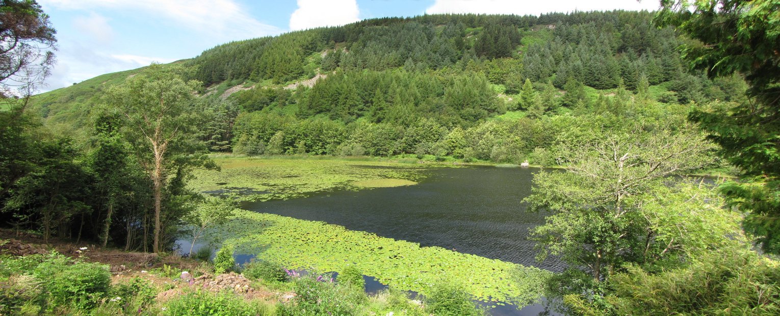
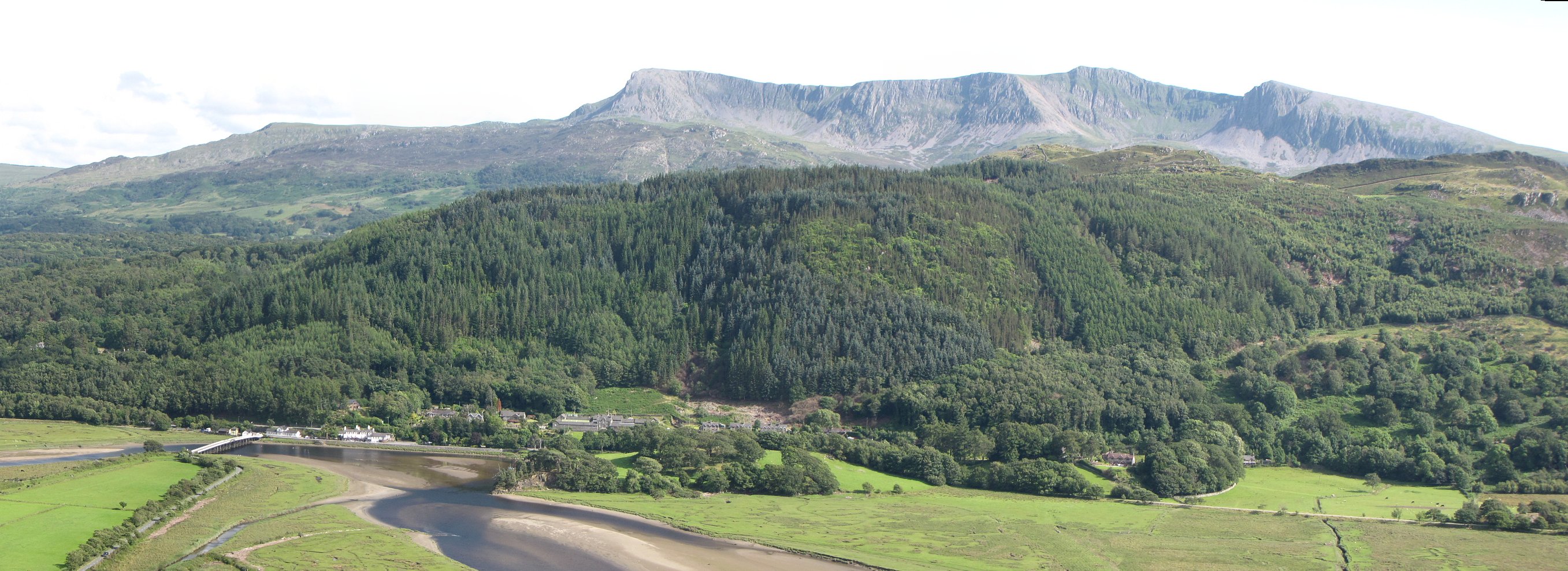
Coed Hafod-dywyll Images

Images are sourced within 2km of 52.724157/-3.9458278 or Grid Reference SH6815. Thanks to Geograph Open Source API. All images are credited.

The west end of Llyn Gwernan An attractive pool of water nestling in a bit of a hollow. The mountain in the distance is Rhobell Fawr.
The west end of Llyn Gwernan
An attractive pool of water nestling in a bit of a hollow. The mountain in the distance is Rhobell Fawr.
View towards Cadair Idris from the Foxes' Path Looking over fields and rougher hillside to the great bowl which holds Llyn y Gadair, guarded by Cadair Idris on the left and Cyfrwy on the right.
View towards Cadair Idris from the Foxes' Path
Looking over fields and rougher hillside to the great bowl which holds Llyn y Gadair, guarded by Cadair Idris on the left and Cyfrwy on the right.
View west from above Tyddyn Mawr Looking over fields to the distant crags of Pared y Cefn Hir.
View west from above Tyddyn Mawr
Looking over fields to the distant crags of Pared y Cefn Hir.
Llyn Gwernan's east shore Taken from the new path that goes round the lake
Llyn Gwernan's east shore
Taken from the new path that goes round the lake
Isolated trees on grassy moorland The location is south-west of Dolgellau. The hill beyond rises to over 500m but appears unnamed on OS maps; it's just a minor outlier of the Cadair Idris range with little prominence of its own.
Isolated trees on grassy moorland
The location is south-west of Dolgellau. The hill beyond rises to over 500m but appears unnamed on OS maps; it's just a minor outlier of the Cadair Idris range with little prominence of its own.
Beudy Uchaf Cottage A wonderful location on the lower slopes of Cadair Idris
Beudy Uchaf Cottage
A wonderful location on the lower slopes of Cadair Idris
Remains at Penrhyn Gwyn Slate Quarry
Snowy wall Snow  against stone wall
Snowy wall
Snow against stone wall
Gwernan Lake Hotel, 1971 A few changes by 2007: <a title="https://www.geograph.org.uk/photo/394082" href="https://www.geograph.org.uk/photo/394082">Link</a>
Gwernan Lake Hotel, 1971
A few changes by 2007: Link
Coedwig Llydandail / Broadleaf Woodland Coedwig Llydandail ger Llyn Gwernan / Broadleaf Woodland near Llyn Gwernan.
Coedwig Llydandail / Broadleaf Woodland
Coedwig Llydandail ger Llyn Gwernan / Broadleaf Woodland near Llyn Gwernan.
Machlud haul dros Lyn Gwernan / Sunset over Llyn Gwernan Haul yn machlud tu ol i lethrau Cadair Idris / The sun setting behind the slopes of Cadair Idris.
Machlud haul dros Lyn Gwernan / Sunset over Llyn Gwernan
Haul yn machlud tu ol i lethrau Cadair Idris / The sun setting behind the slopes of Cadair Idris.
Gwesty Gwernan Lake Hotel Golygfa dros Lyn Gwernan i'r gwesty a Chadair Idris / View over Gwernan Lake to the hotel and Cadair Idris.
Gwesty Gwernan Lake Hotel
Golygfa dros Lyn Gwernan i'r gwesty a Chadair Idris / View over Gwernan Lake to the hotel and Cadair Idris.
Cadair Idris Llwybr yn dilyn wal cerrig / Footpath following a drystone wall.
Cadair Idris
Llwybr yn dilyn wal cerrig / Footpath following a drystone wall.
Llyn Gwernan View from Permitted Path at east end of lake looking Southwest. The mountain in the distance is "Craig Las", part of the Cadair Idris range
Llyn Gwernan
View from Permitted Path at east end of lake looking Southwest. The mountain in the distance is "Craig Las", part of the Cadair Idris range
Llyn Gwernan Western Part of lake Showing Lily pads
Llyn Gwernan
Western Part of lake Showing Lily pads
Penrhyn-gwyn From The East
Ger / Near Gwesty Gwernan Hotel Heol fach yn mynd heinio i Westy Gwernan.

Minor road passing the Gwernan Hotel.
Ger / Near Gwesty Gwernan Hotel
Heol fach yn mynd heinio i Westy Gwernan. Minor road passing the Gwernan Hotel.
Tip levels with trees Abundant growth of mature trees indicates that these tips have long been disused, since the end of the 19th Century in fact.
Tip levels with trees
Abundant growth of mature trees indicates that these tips have long been disused, since the end of the 19th Century in fact.
Show me another place!

Coed Hafod-dywyll is located at Grid Ref: SH6815 (Lat: 52.724157, Lng: -3.9458278)

Unitary Authority: Gwynedd

Police Authority: North Wales

What 3 Words

///exactly.otherwise.fresh. Near Dolgellau, Gwynedd

Related Wikis

Llyn Gwernan

Llyn Gwernan is a lake in Gwynedd, Wales and an important geological site, notable for an unusual thickness of Devensian Late-glacial organic deposits...

Mawddach Trail

The Mawddach Trail (Welsh: Llwybr Mawddach) is a cycle path route, part of Lôn Las Cymru, which runs for some 8 miles (13 km) from Dolgellau (52.7446°N...

Penmaenpool

Penmaenpool (Welsh: Llynpenmaen) is a hamlet on the south side of the estuary of the River Mawddach in Wales, near Dolgellau. A Grade II listed toll bridge...

Penmaenpool railway station

Penmaenpool railway station at Penmaenpool in Gwynedd, North Wales, was formerly a station on the Dolgelly [sic] branch of the Aberystwith and Welsh Coast...

Borthwnog

Borthwnog is a family name given to the Borthwnog estate in Gwynedd, north-west Wales. Borthwnog Hall was the Manor House of the estate which encompassed...

Bontddu

Bontddu (meaning Black bridge) is a small settlement just east of Barmouth, near the town of Dolgellau in Gwynedd, Wales. It is in the community of Llanelltyd...

Cadair Idris

Cadair Idris or Cader Idris is a mountain in the Meirionnydd area of Gwynedd, Wales. It lies at the southern end of the Snowdonia National Park near the...

Tyrrau Mawr

Tyrrau Mawr or Craig-las is a subsidiary summit of Cadair Idris in the Snowdonia National Park, in Gwynedd, northwest Wales. It lies to the west of Cyfrwy...

Nearby Amenities

Located within 500m of 52.724157,-3.9458278
King's Youth Hostel
Addr Postcode: LL40 1TB
Brand: YHA
Brand Wikidata: Q8059214
Contact Website: https://www.yha.org.uk/hostel/yha-kings
Operator: YHA
Phone: +44 845 371 9327
Source: Survey
Tourism: hostel
Lat/Long: 52.7257699/-3.9509341
Barrier: kissing_gate
Material: wood
Lat/Long: 52.7245628/-3.9497714
Hafod Dywyll farm campsite
Name En: Hafod Dywyll farm campsite
Tourism: camp_site
Lat/Long: 52.7251297/-3.9501689
Direction: 170
Generator Method: photovoltaic
Generator Output Electricity: yes
Generator Solar Modules: 8
Generator Source: solar
Generator Type: solar_photovoltaic_panel
Location: roof
Power: generator
Lat/Long: 52.7255839/-3.9480722
Direction: 170
Generator Method: photovoltaic
Generator Output Electricity: yes
Generator Solar Modules: 8
Generator Source: solar
Generator Type: solar_photovoltaic_panel
Location: roof
Power: generator
Lat/Long: 52.7255725/-3.9481379
The data included in this document is from www.openstreetmap.org. The data is made available under ODbL.

Have you been to Coed Hafod-dywyll?

Leave your review of Coed Hafod-dywyll below (or comments, questions and feedback).