Coed Tynllidiart

Wood, Forest in Merionethshire

Wales

Coed Tynllidiart

Snowy wall Snow  against stone wall
Snowy wall Credit: liz dawson

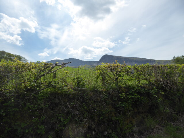
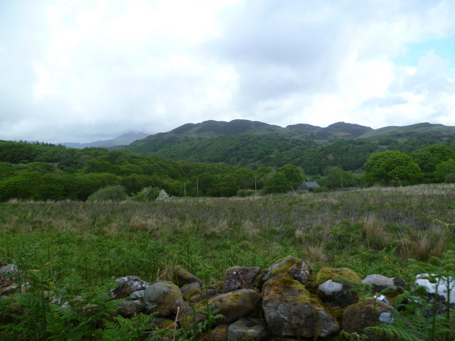
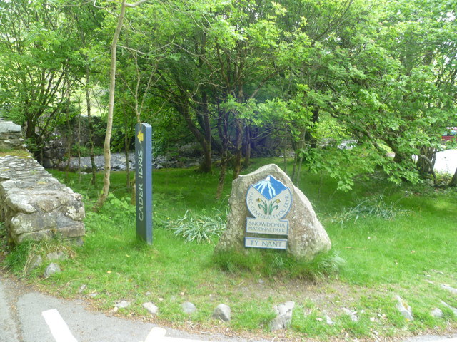
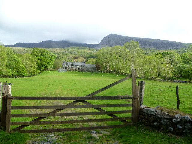
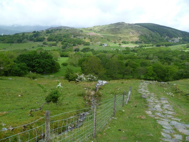
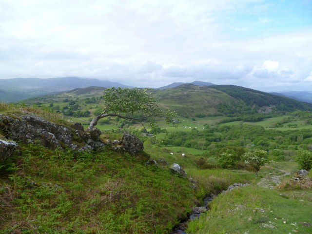
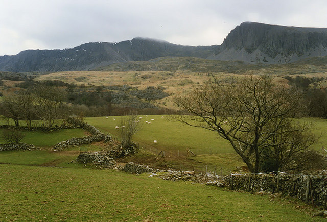
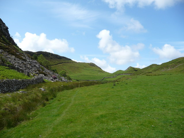
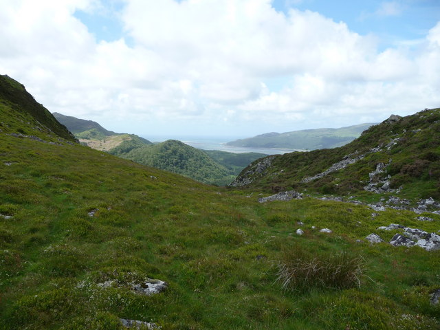
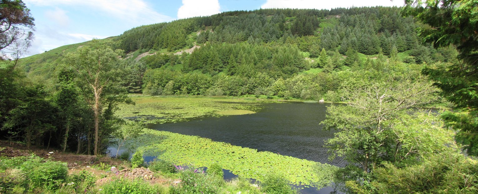
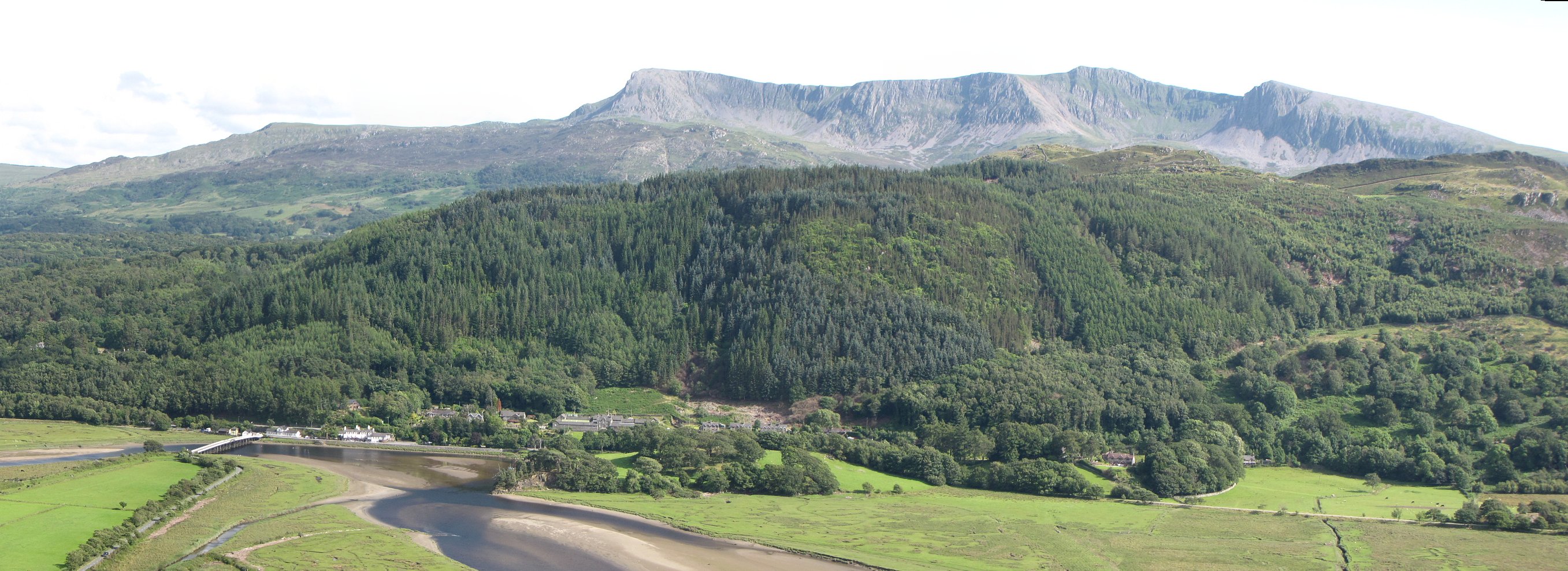
Coed Tynllidiart, located in Merionethshire, is a picturesque woodland area known for its natural beauty and rich biodiversity. Spanning over a vast expanse, the forest is a haven for nature enthusiasts, hikers, and those seeking tranquility amidst the lush greenery.

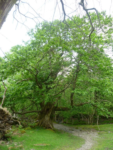
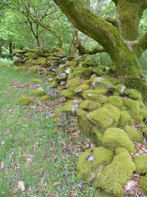
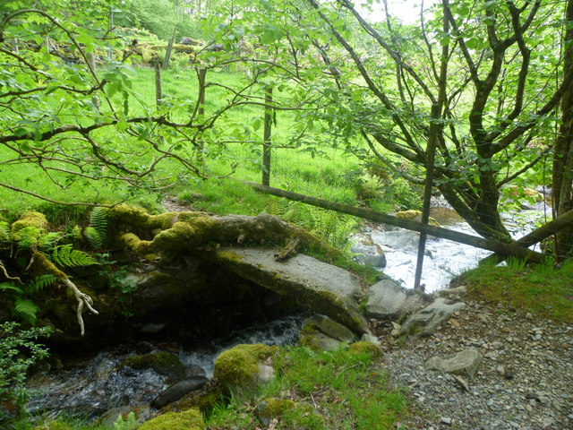
The woodland is predominantly composed of native tree species, including oak, beech, birch, and rowan, creating a diverse and vibrant ecosystem. The dense canopy provides shelter and nesting sites for a wide range of bird species, making it a paradise for birdwatchers. Additionally, small mammals such as squirrels, badgers, and foxes find refuge in the undergrowth.

Coed Tynllidiart offers a network of well-maintained footpaths and trails, allowing visitors to explore the forest at their own pace. As they wander through the towering trees, visitors can enjoy the symphony of birdsong and the gentle rustling of leaves beneath their feet. The woodland is also home to a variety of wildflowers and ferns, adding bursts of color and texture to the landscape.

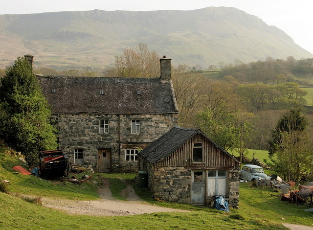
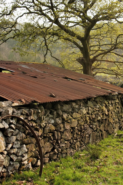
The forest holds historical significance, with remnants of ancient settlements and burial mounds scattered throughout. These archaeological sites provide a glimpse into the area's rich past and offer an opportunity for visitors to connect with the region's cultural heritage.

Coed Tynllidiart is a cherished natural treasure in Merionethshire, attracting visitors from far and wide who seek solace in its serene ambiance and embrace the wonders of the natural world. Whether it's a leisurely stroll or an immersive exploration, this woodland promises an unforgettable experience for all who venture into its enchanting depths.

If you have any feedback on the listing, please let us know in the comments section below.

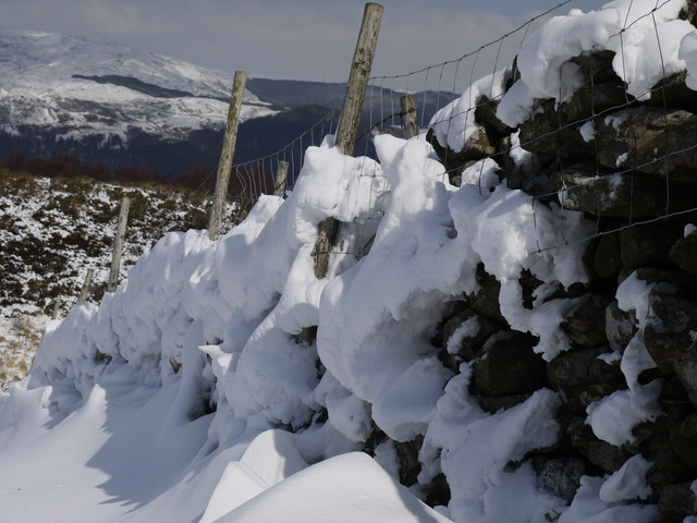
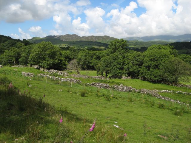
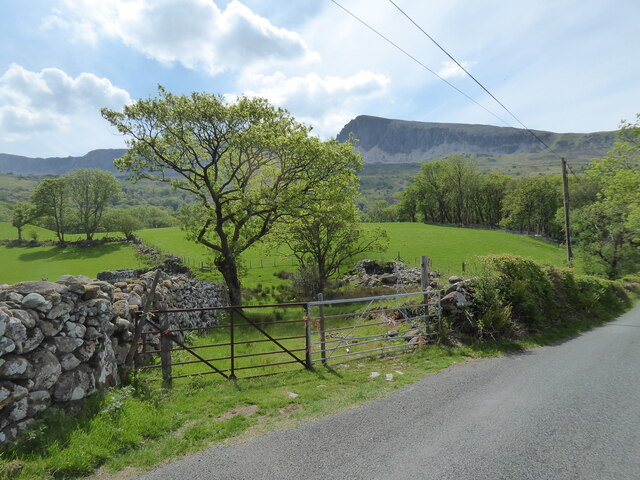
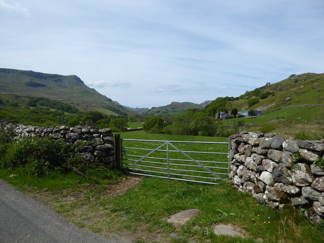
Coed Tynllidiart Images

Images are sourced within 2km of 52.724358/-3.95216 or Grid Reference SH6815. Thanks to Geograph Open Source API. All images are credited.

Snowy wall Snow  against stone wall
Snowy wall
Snow against stone wall
Sheep meadows Well-maintained pastures of Ty Nant, with a distant view of Pared y Cefn-hir (see <a href="https://www.geograph.org.uk/photo/3518219">SH6615 : Summit ridge</a>).
Sheep meadows
Well-maintained pastures of Ty Nant, with a distant view of Pared y Cefn-hir (see SH6615 : Summit ridge).
Lane near Ty Nant car park below Cader Idris With stunning views all around.
Lane near Ty Nant car park below Cader Idris
With stunning views all around.
Gate on the lane near Ty Nant car park below Cader Idris What a spot.
Gate on the lane near Ty Nant car park below Cader Idris
What a spot.
Looking up towards Cader Idris from near the start of Fox's Path Tempting summits way up there.
Looking up towards Cader Idris from near the start of Fox's Path
Tempting summits way up there.
Hafod Dywyll Farm With the western flank of Cadair Idris beyond. There is a much newer single-storey farmhouse a few yards away, and it is unclear whether this fine stone building is still occupied. Perhaps the wheelie bin suggests it is.

It has been many years, though, since the Morris visible to the right was occupied with anything other than gradual decay.
Hafod Dywyll Farm
With the western flank of Cadair Idris beyond. There is a much newer single-storey farmhouse a few yards away, and it is unclear whether this fine stone building is still occupied. Perhaps the wheelie bin suggests it is. It has been many years, though, since the Morris visible to the right was occupied with anything other than gradual decay.
Barn at Hafod Dywyll Farm An abandoned wheel rim (?) beside a barn at Hafod Dywyll. 

Just out of view to the left was a broken lavatory, and there was more detritus to the right, but there was something nevertheless atmospheric about this simple shot.
Barn at Hafod Dywyll Farm
An abandoned wheel rim (?) beside a barn at Hafod Dywyll. Just out of view to the left was a broken lavatory, and there was more detritus to the right, but there was something nevertheless atmospheric about this simple shot.
Islwr - Dref Looking over the delightful valley from the single track road under Cadair Idris.
Islwr - Dref
Looking over the delightful valley from the single track road under Cadair Idris.
Ty - Nant Car park near the farm of the same name handy for an ascent of Cadair Idris.
Ty - Nant
Car park near the farm of the same name handy for an ascent of Cadair Idris.
Ty - Nant Farm under Cadair Idris
Ty - Nant
Farm under Cadair Idris
Sweet Chestnut Large tree on the track above Ty - Nant
Sweet Chestnut
Large tree on the track above Ty - Nant
Mossy Wall Above Ty - Nant on the track to Cadair Idris
Mossy Wall
Above Ty - Nant on the track to Cadair Idris
On The Pony Path Leaving the pleasant wooded valley by Ty - Nant on the ascent of Cadair Idris
On The Pony Path
Leaving the pleasant wooded valley by Ty - Nant on the ascent of Cadair Idris
Flying Rowan By the Pony Path to Cadair Idris.
Flying Rowan
By the Pony Path to Cadair Idris.
Fields west of Tyddyn-mawr farm Good grazing land above the road. In the middle distance mine remains can be seen on the open hillside, while Cadair Idris forms the backdrop.
Fields west of Tyddyn-mawr farm
Good grazing land above the road. In the middle distance mine remains can be seen on the open hillside, while Cadair Idris forms the backdrop.
Root and Bridge A single slate forms an old bridge the thick root running over it enhances the antiquity.
Root and Bridge
A single slate forms an old bridge the thick root running over it enhances the antiquity.
Upland pastures in June Gorgeous isolated upland pastures meet open moorland ahead, where three ponies graze. A lovely spot on a June morning.
Upland pastures in June
Gorgeous isolated upland pastures meet open moorland ahead, where three ponies graze. A lovely spot on a June morning.
Upland valley near Dolgledr The path here passes between two rocky outcrops and offers very good views of the distant Mawddach Estuary and the sea.
Upland valley near Dolgledr
The path here passes between two rocky outcrops and offers very good views of the distant Mawddach Estuary and the sea.
Show me another place!

Coed Tynllidiart is located at Grid Ref: SH6815 (Lat: 52.724358, Lng: -3.95216)

Unitary Authority: Gwynedd

Police Authority: North Wales

What 3 Words

///muted.fabricate.domestic. Near Dolgellau, Gwynedd

Related Wikis

Llyn Gwernan

Llyn Gwernan is a lake in Gwynedd, Wales and an important geological site, notable for an unusual thickness of Devensian Late-glacial organic deposits...

Mawddach Trail

The Mawddach Trail (Welsh: Llwybr Mawddach) is a cycle path route, part of Lôn Las Cymru, which runs for some 8 miles (13 km) from Dolgellau (52.7446°N...

Penmaenpool

Penmaenpool (Welsh: Llynpenmaen) is a hamlet on the south side of the estuary of the River Mawddach in Wales, near Dolgellau. A Grade II listed toll bridge...

Penmaenpool railway station

Penmaenpool railway station at Penmaenpool in Gwynedd, North Wales, was formerly a station on the Dolgelly [sic] branch of the Aberystwith and Welsh Coast...

Bontddu

Bontddu (meaning Black bridge) is a small settlement just east of Barmouth, near the town of Dolgellau in Gwynedd, Wales. It is in the community of Llanelltyd...

Borthwnog

Borthwnog is a family name given to the Borthwnog estate in Gwynedd, north-west Wales. Borthwnog Hall was the Manor House of the estate which encompassed...

St Philip's Church, Caerdeon

St Philip's Church, Caerdeon, near Barmouth, in Gwynedd, North Wales, is a redundant church and a Grade I listed building. The church was built in 1862...

Tyn-y-Coed Farmhouse

Tyn-y-Coed Farmhouse is a grade II Listed Building in Caerdeon, Barmouth, Gwynedd. This Georgian farm house was built in 1756 and later extended and altered...

Nearby Amenities

Located within 500m of 52.724358,-3.95216
King's Youth Hostel
Addr Postcode: LL40 1TB
Brand: YHA
Brand Wikidata: Q8059214
Contact Website: https://www.yha.org.uk/hostel/yha-kings
Operator: YHA
Phone: +44 845 371 9327
Source: Survey
Tourism: hostel
Lat/Long: 52.7257699/-3.9509341
Barrier: kissing_gate
Material: wood
Lat/Long: 52.7245628/-3.9497714
Hafod Dywyll farm campsite
Name En: Hafod Dywyll farm campsite
Tourism: camp_site
Lat/Long: 52.7251297/-3.9501689
Rehoboth ruïne
Historic: memorial
Name En: Rehoboth ruïne
Lat/Long: 52.7234248/-3.9533099
Direction: 170
Generator Method: photovoltaic
Generator Output Electricity: yes
Generator Solar Modules: 8
Generator Source: solar
Generator Type: solar_photovoltaic_panel
Location: roof
Power: generator
Lat/Long: 52.7255839/-3.9480722
Direction: 170
Generator Method: photovoltaic
Generator Output Electricity: yes
Generator Solar Modules: 8
Generator Source: solar
Generator Type: solar_photovoltaic_panel
Location: roof
Power: generator
Lat/Long: 52.7255725/-3.9481379
The data included in this document is from www.openstreetmap.org. The data is made available under ODbL.

Have you been to Coed Tynllidiart?

Leave your review of Coed Tynllidiart below (or comments, questions and feedback).