Coed y Ffrwd
Wood, Forest in Merionethshire
Wales
Coed y Ffrwd

Coed y Ffrwd, located in Merionethshire, Wales, is a captivating woodland area known for its breathtaking natural beauty. The name Coed y Ffrwd translates to "Wood, Forest" in English, and it perfectly encapsulates the essence of this enchanting place.
Nestled amidst the rugged mountains and rolling hills of Merionethshire, Coed y Ffrwd is a haven for nature enthusiasts and those seeking tranquility. The woodland is characterized by a diverse range of tree species, including oak, beech, birch, and conifers, creating a rich and vibrant tapestry of colors throughout the seasons.
The forest's landscape is adorned with meandering streams and cascading waterfalls, adding to its allure. These water features, along with the dense vegetation, provide a habitat for various species of birds, small mammals, and insects, making Coed y Ffrwd a thriving ecosystem.
Visitors to Coed y Ffrwd can enjoy a variety of activities, such as hiking, nature walks, and birdwatching. The woodland is crisscrossed by well-maintained trails, allowing visitors to explore its hidden treasures. Along these paths, one can encounter ancient ruins, moss-covered rocks, and secluded picnic spots, adding a touch of mystery and charm to the experience.
With its serene atmosphere and stunning natural surroundings, Coed y Ffrwd offers a much-needed escape from the hustle and bustle of modern life. Whether you are a nature lover, a photography enthusiast, or simply seeking solace in nature's embrace, Coed y Ffrwd is a destination that will leave an indelible mark on your soul.
If you have any feedback on the listing, please let us know in the comments section below.
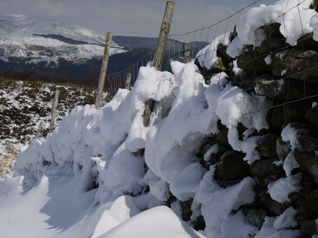
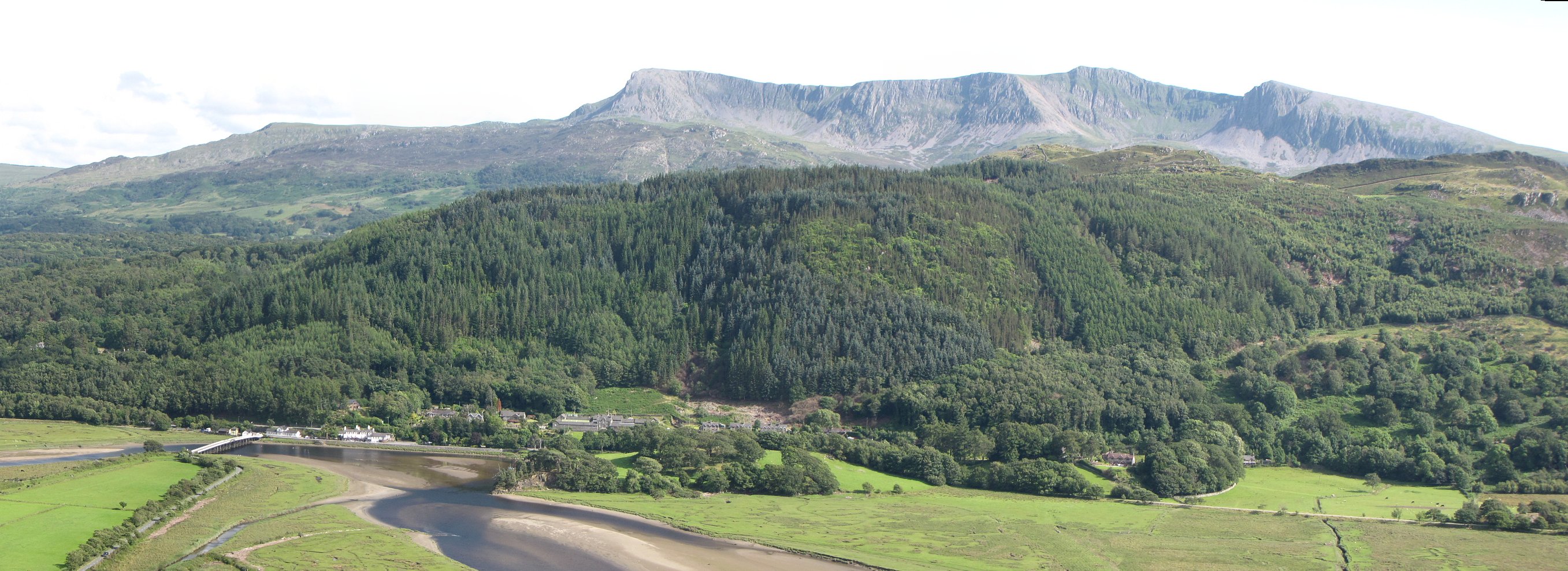
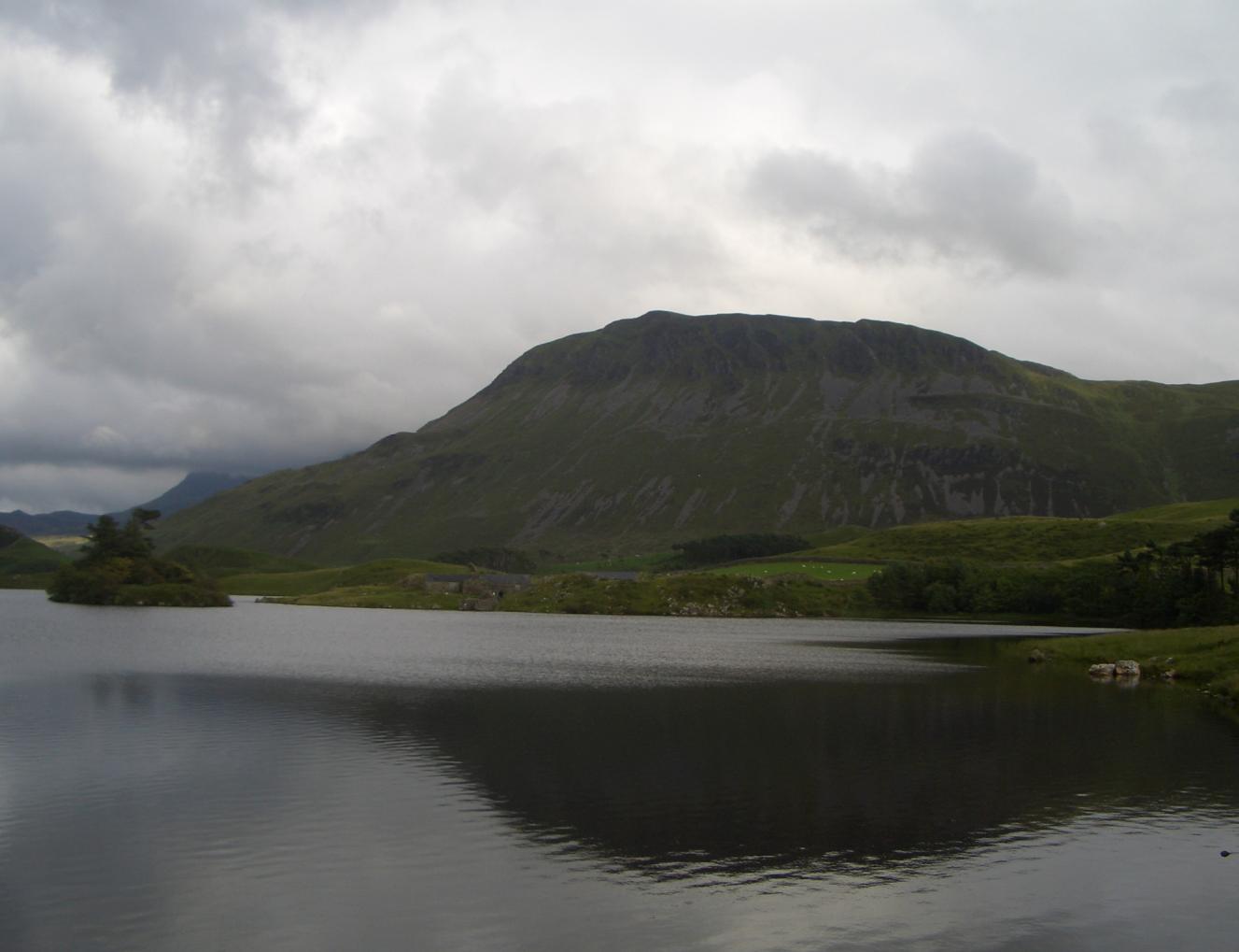
Coed y Ffrwd Images
Images are sourced within 2km of 52.722979/-3.9419845 or Grid Reference SH6815. Thanks to Geograph Open Source API. All images are credited.


Coed y Ffrwd is located at Grid Ref: SH6815 (Lat: 52.722979, Lng: -3.9419845)
Unitary Authority: Gwynedd
Police Authority: North Wales
What 3 Words
///smirks.complies.flown. Near Dolgellau, Gwynedd
Nearby Locations
Related Wikis
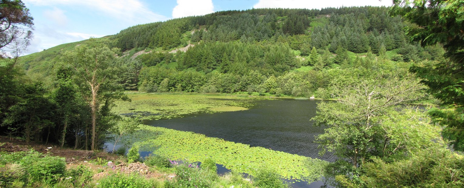
Llyn Gwernan
Llyn Gwernan is a lake in Gwynedd, Wales and an important geological site, notable for an unusual thickness of Devensian Late-glacial organic deposits...

Mawddach Trail
The Mawddach Trail (Welsh: Llwybr Mawddach) is a cycle path route, part of Lôn Las Cymru, which runs for some 8 miles (13 km) from Dolgellau (52.7446°N...
Penmaenpool
Penmaenpool (Welsh: Llynpenmaen) is a hamlet on the south side of the estuary of the River Mawddach in Wales, near Dolgellau. A Grade II listed toll bridge...

Penmaenpool railway station
Penmaenpool railway station at Penmaenpool in Gwynedd, North Wales, was formerly a station on the Dolgelly [sic] branch of the Aberystwith and Welsh Coast...

Borthwnog
Borthwnog is a family name given to the Borthwnog estate in Gwynedd, north-west Wales. Borthwnog Hall was the Manor House of the estate which encompassed...

Cadair Idris
Cadair Idris or Cader Idris is a mountain in the Meirionnydd area of Gwynedd, Wales. It lies at the southern end of the Snowdonia National Park near the...
Tyrrau Mawr
Tyrrau Mawr or Craig-las is a subsidiary summit of Cadair Idris in the Snowdonia National Park, in Gwynedd, northwest Wales. It lies to the west of Cyfrwy...

Gau Graig
Gau Graig is a subsidiary summit of Cadair Idris in the Snowdonia National Park, in Gwynedd, northwest Wales. It lies to the east of Mynydd Moel on a broad...
Nearby Amenities
Located within 500m of 52.722979,-3.9419845Have you been to Coed y Ffrwd?
Leave your review of Coed y Ffrwd below (or comments, questions and feedback).