Islaw'r-dref
Settlement in Caernarfonshire
Wales
Islaw'r-dref

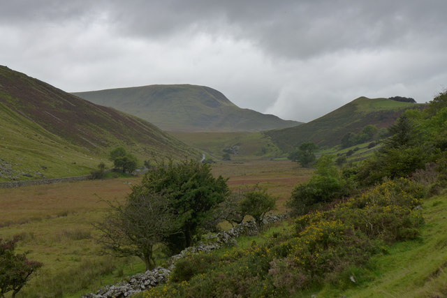
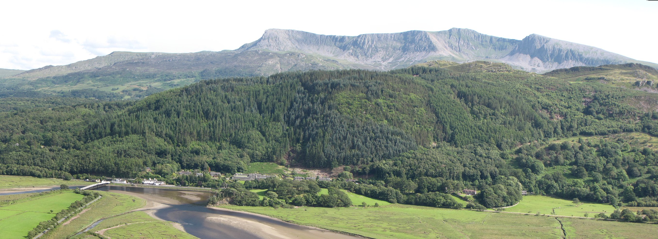
Islaw'r-dref is a small village located in the county of Caernarfonshire, Wales. Situated on the northern coast of Wales, the village is nestled between the Snowdonia National Park and the Irish Sea. With its picturesque surroundings and proximity to natural attractions, Islaw'r-dref attracts visitors looking for a peaceful retreat.
The village itself is home to a close-knit community, with a population of approximately 500 residents. The charm of Islaw'r-dref lies in its quaint and traditional Welsh architecture, with many stone-built houses and cottages lining the streets. The village is known for its friendly locals, who take pride in preserving the area's heritage and culture.
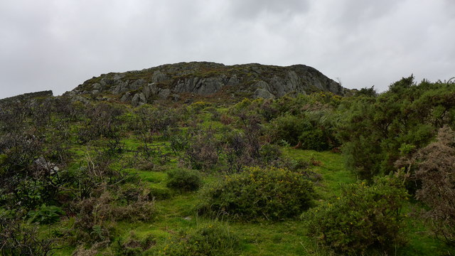
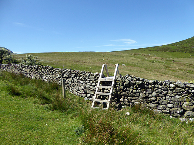
Despite its small size, Islaw'r-dref offers a range of amenities for both residents and visitors. The village has a local pub, a small convenience store, and a post office. For outdoor enthusiasts, there are several walking trails that wind through the nearby hills, providing stunning views of the surrounding countryside.
Islaw'r-dref is also conveniently located near major tourist attractions. Caernarfon, a historic town with its famous medieval castle, is just a short drive away. Additionally, the village is within easy reach of the beautiful beaches along the Llŷn Peninsula and the hiking trails of Snowdonia National Park.
Overall, Islaw'r-dref is a charming village that offers a tranquil and idyllic setting for those seeking a break from the bustle of city life. With its stunning natural surroundings and warm community spirit, the village provides a perfect escape for visitors looking to immerse themselves in the beauty of rural Wales.
If you have any feedback on the listing, please let us know in the comments section below.
Islaw'r-dref Images
Images are sourced within 2km of 52.716506/-3.9556144 or Grid Reference SH6815. Thanks to Geograph Open Source API. All images are credited.


Islaw'r-dref is located at Grid Ref: SH6815 (Lat: 52.716506, Lng: -3.9556144)
Unitary Authority: Gwynedd
Police Authority: North Wales
What 3 Words
///porridge.leotard.compress. Near Dolgellau, Gwynedd
Nearby Locations
Related Wikis
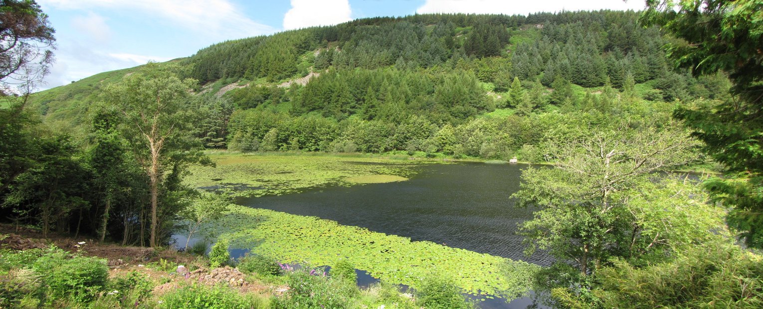
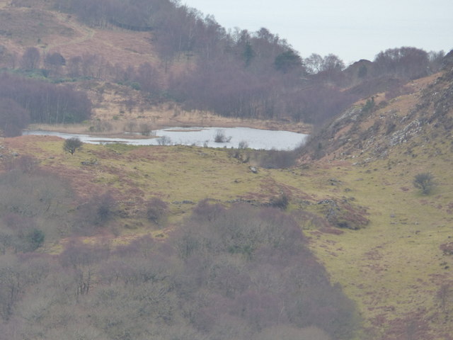
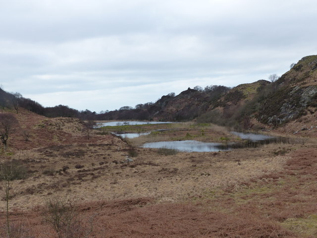
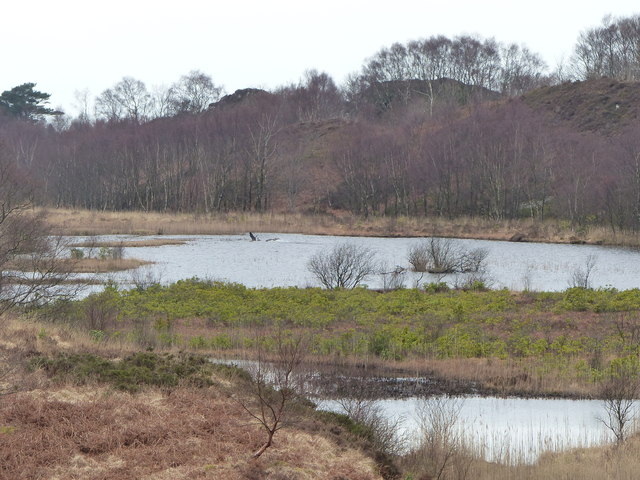
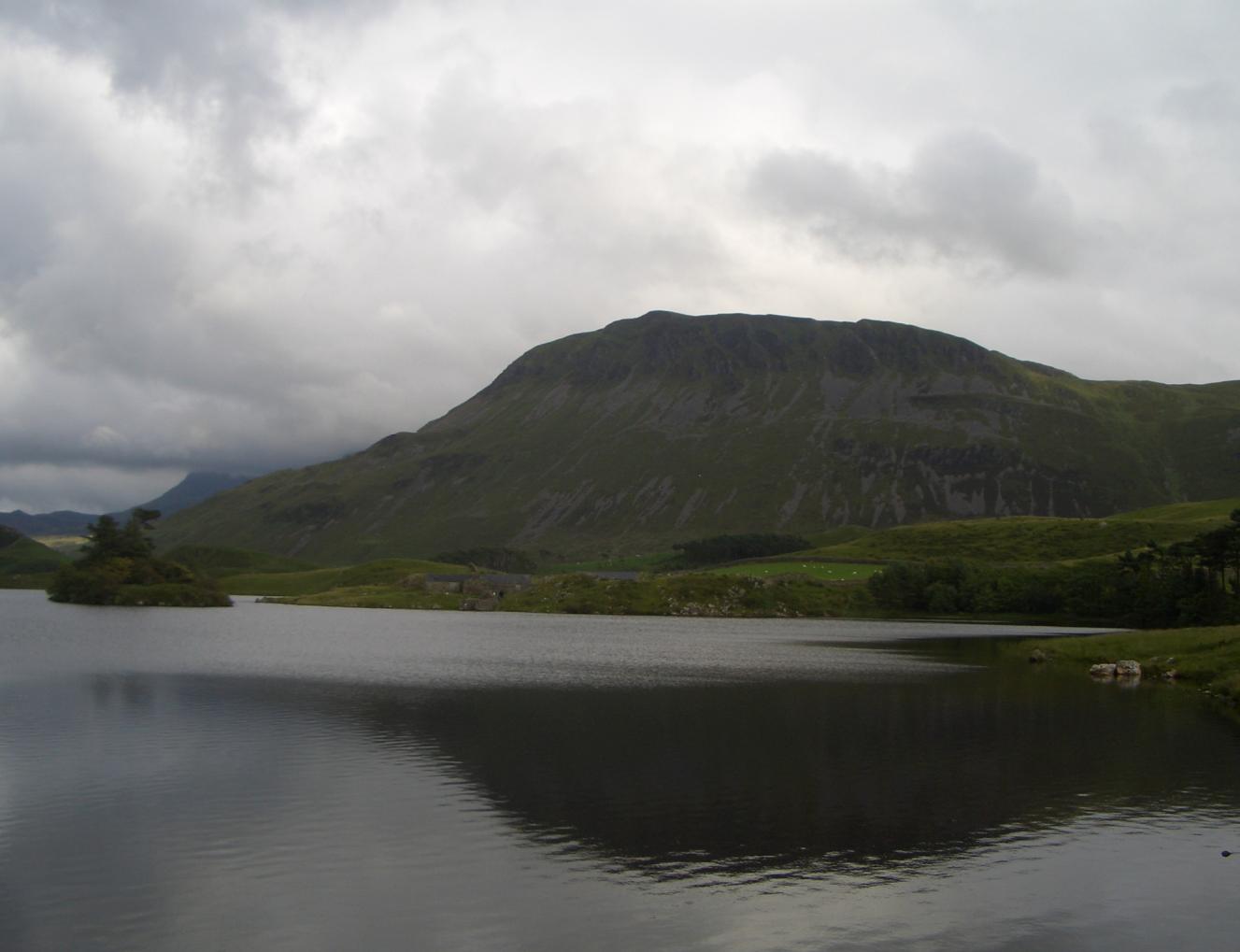
Llyn Gwernan
Llyn Gwernan is a lake in Gwynedd, Wales and an important geological site, notable for an unusual thickness of Devensian Late-glacial organic deposits...

Mawddach Trail
The Mawddach Trail (Welsh: Llwybr Mawddach) is a cycle path route, part of Lôn Las Cymru, which runs for some 8 miles (13 km) from Dolgellau (52.7446°N...
Penmaenpool
Penmaenpool (Welsh: Llynpenmaen) is a hamlet on the south side of the estuary of the River Mawddach in Wales, near Dolgellau. A Grade II listed toll bridge...

Arthog
Arthog () is a village, post town and community in the Meirionnydd area in Gwynedd, north Wales including the villages of Fairbourne and Friog. It is located...

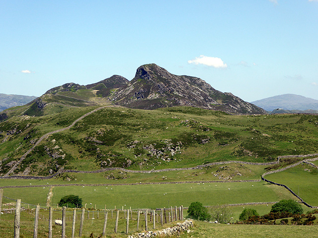
Cadair Idris
Cadair Idris or Cader Idris is a mountain in the Meirionnydd area of Gwynedd, Wales. It lies at the southern end of the Snowdonia National Park near the...
Tyrrau Mawr
Tyrrau Mawr or Craig-las is a subsidiary summit of Cadair Idris in the Snowdonia National Park, in Gwynedd, northwest Wales. It lies to the west of Cyfrwy...

Gau Graig
Gau Graig is a subsidiary summit of Cadair Idris in the Snowdonia National Park, in Gwynedd, northwest Wales. It lies to the east of Mynydd Moel on a broad...
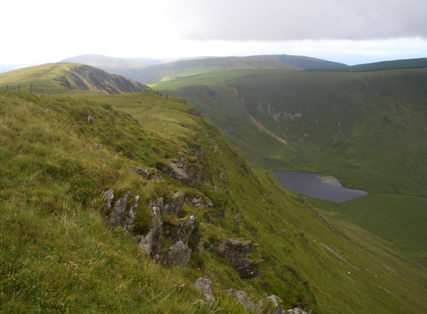
Craig-y-llyn
Craig-y-llyn is a subsidiary summit of Cadair Idris in the Snowdonia National Park, in Gwynedd, northwest Wales. It lies at the western end of the long...
Nearby Amenities
Located within 500m of 52.716506,-3.9556144Have you been to Islaw'r-dref?
Leave your review of Islaw'r-dref below (or comments, questions and feedback).