Islands Common

Settlement in Huntingdonshire Huntingdonshire

England

Islands Common

St Neots : Church of St Mary Grade II* listed - <span class="nowrap"><a title="https://historicengland.org.uk/listing/the-list/list-entry/1127993?section=official-list-entry" rel="nofollow ugc noopener" href="https://historicengland.org.uk/listing/the-list/list-entry/1127993?section=official-list-entry">Link</a><img style="margin-left:2px;" alt="External link" title="External link - shift click to open in new window" src="https://s1.geograph.org.uk/img/external.png" width="10" height="10"/></span>.
St Neots : Church of St Mary Credit: Jim Osley

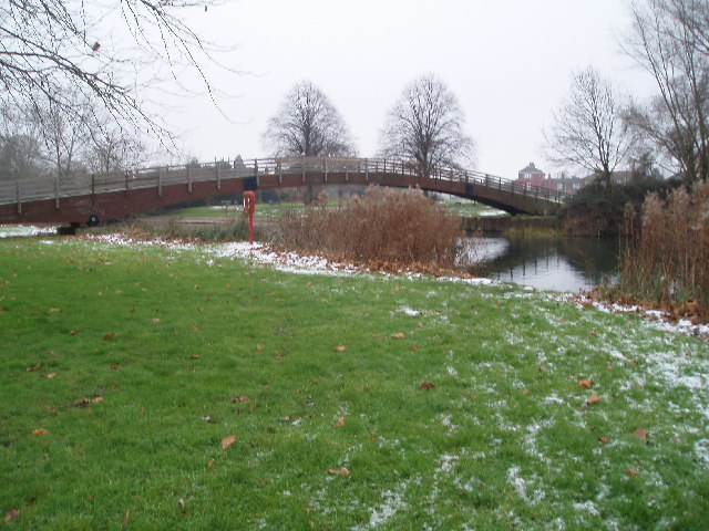
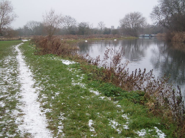
Islands Common is a small village located in the district of Huntingdonshire, Cambridgeshire, in the eastern part of England. Situated approximately 4 miles west of the town of St Ives, Islands Common is a rural community surrounded by picturesque countryside.

The village is known for its tranquil and idyllic setting, with rolling hills, lush green fields, and a charming atmosphere. It is home to a relatively small population, primarily consisting of local residents who enjoy the peacefulness and natural beauty of the area.

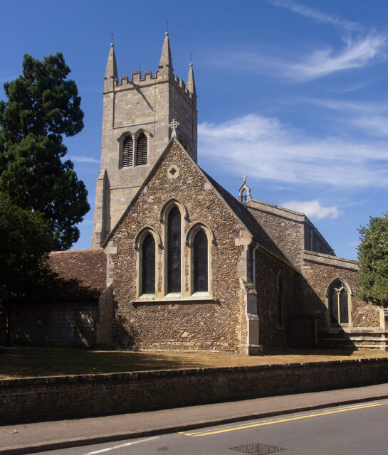
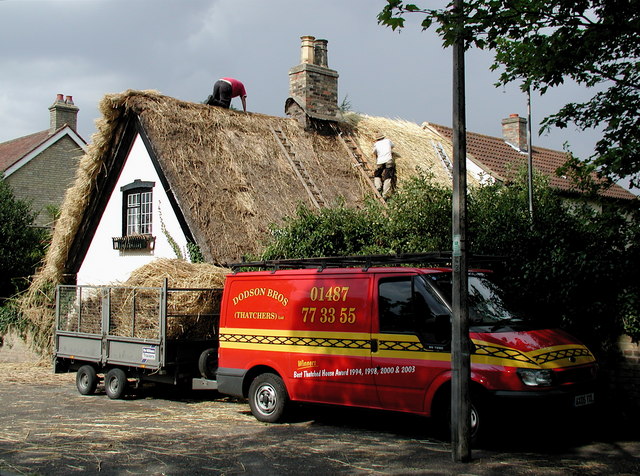
Islands Common has a rich history that can be traced back to medieval times. The village features a few historic buildings, including a beautiful 14th-century church, which adds to its charm and character. The church is a notable landmark and a place of worship for the local community.

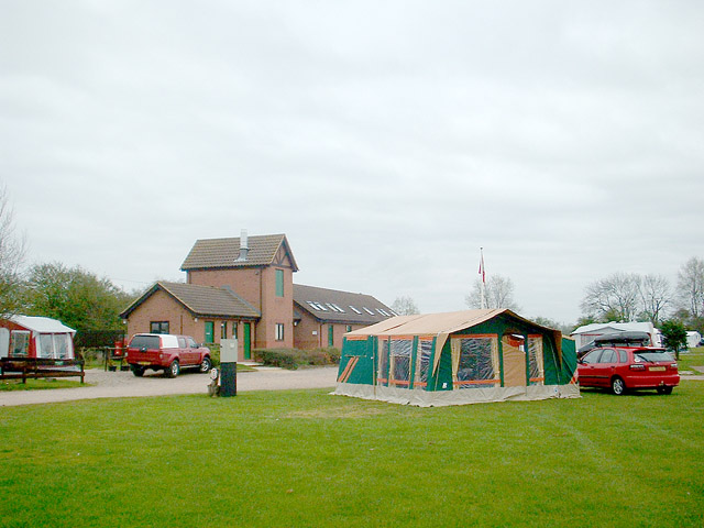
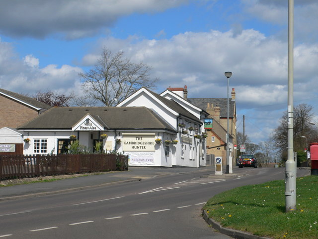
The village offers a close-knit community feel, with a range of amenities to cater to the needs of its residents. These amenities include a local pub, a community center, and a sports field where residents can engage in recreational activities.

The surrounding countryside provides ample opportunities for outdoor pursuits, such as hiking, cycling, and horse riding. The nearby River Great Ouse also offers fishing and boating activities for enthusiasts.

Overall, Islands Common is a charming and peaceful village, perfect for those seeking a serene rural retreat while still being within easy reach of nearby towns and cities.

If you have any feedback on the listing, please let us know in the comments section below.

Islands Common Images

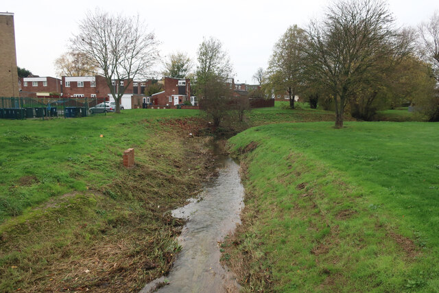
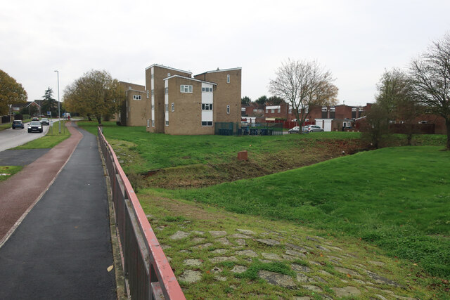
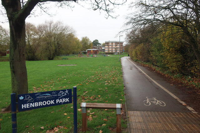
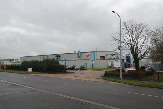
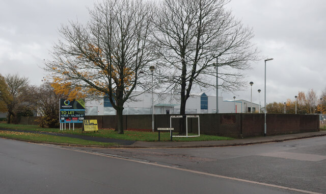
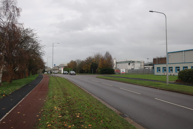
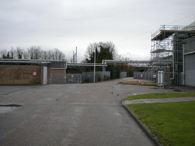
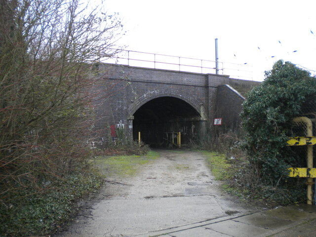
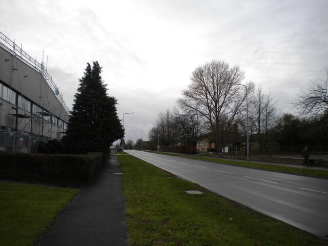
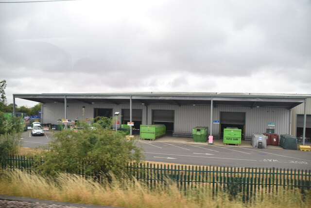
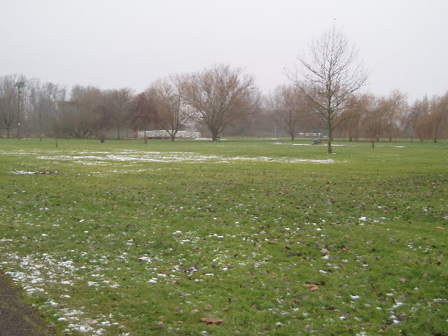
Images are sourced within 2km of 52.234558/-0.2735095 or Grid Reference TL1861. Thanks to Geograph Open Source API. All images are credited.

St Neots : Church of St Mary Grade II* listed - <span class="nowrap"><a title="https://historicengland.org.uk/listing/the-list/list-entry/1127993?section=official-list-entry" rel="nofollow ugc noopener" href="https://historicengland.org.uk/listing/the-list/list-entry/1127993?section=official-list-entry">Link</a><img style="margin-left:2px;" alt="External link" title="External link - shift click to open in new window" src="https://s1.geograph.org.uk/img/external.png" width="10" height="10"/></span>.
St Neots : Church of St Mary
Grade II* listed - LinkExternal link.
Hen Brook, St Neots
Hen Brook, St Neots
Bridge over Hen Brook, St Neots
Henbrook Park, St Neots
Coveris, St Neots Manufacturing various types of packaging.
Coveris, St Neots
Manufacturing various types of packaging.
Marston Business Park, St Neots
Cromwell Road, St Neots
Access road into Sealed Air site, St Neots Off Cromwell Road. Also host to a public footpath.
Access road into Sealed Air site, St Neots
Off Cromwell Road. Also host to a public footpath.
Railway bridge over track, St Neots Carrying the East Coast Main Line across a track that is also a public footpath.
Railway bridge over track, St Neots
Carrying the East Coast Main Line across a track that is also a public footpath.
Cromwell Road, St Neots
St Neots Recycling Centre
The Riverside Park, St Neots
Footbridge over Great Ouse
Ouse Valley Way
Ouse Valley Way
Eynesbury, St. Neots Thatchers try to get a roof done in the brief sunny spells between rain showers, close to the junction of Howitt's Lane and Berkley Street, Eynesbury.
Eynesbury, St. Neots
Thatchers try to get a roof done in the brief sunny spells between rain showers, close to the junction of Howitt's Lane and Berkley Street, Eynesbury.
Great Ouse, St Neots Camping and Caravanning Club site.
Great Ouse, St Neots
Camping and Caravanning Club site.
Camping and Caravanning Club site - St Neots
The Cambridgeshire Hunter Located next to Eynesbury football ground.
The Cambridgeshire Hunter
Located next to Eynesbury football ground.
Show me another place!

Islands Common is located at Grid Ref: TL1861 (Lat: 52.234558, Lng: -0.2735095)

Administrative County: Cambridgeshire

District: Huntingdonshire

Police Authority: Cambridgeshire

What 3 Words

///stacks.passport.outhouse. Near St Neots, Cambridgeshire

Related Wikis

St Neots Common

St Neots Common is a 33.4-hectare (83-acre) biological Site of Special Scientific Interest in St Neots in Cambridgeshire.This site on the east bank of...

River Kym

The River Kym is a river in Cambridgeshire, England. It flows through the village of Tilbrook, to Kimbolton, and joins the Great Ouse at St Neots. It is...

St Neots Museum

St Neots Museum is a local museum located in St Neots, within the Huntingdonshire District of Cambridgeshire, England.The museum is housed in the Old Court...

St Neots

St Neots is a town and civil parish in the Huntingdonshire district of Cambridgeshire, England. It is 18 miles (29 km) west of Cambridge. The areas of...

Nearby Amenities

Located within 500m of 52.234558,-0.2735095
Created By: Merkaartor 0.12
Lat/Long: 52.2351139/-0.279793
Turning Circle
Lat/Long: 52.2333902/-0.2676376
Turning Circle
Lat/Long: 52.2343415/-0.2677642
Barrier: kissing_gate
Foot: yes
Lat/Long: 52.2312346/-0.2699409
Barrier: kissing_gate
Foot: yes
Lat/Long: 52.2324413/-0.2713277
Post Box
Collection Times: Mo-Fr 17:30; Sa 12:00
Post Box Design: type_b
Post Box Type: pillar
Ref: PE19 244
Royal Cypher: EIIR
Royal Cypher Wikidata: Q33102113
Lat/Long: 52.2314847/-0.2782465
Bus Stop
Savile's Close
Bus: yes
Naptan AtcoCode: 0500HSTNS001
Naptan Bearing: NW
Naptan CommonName: Savile's Close
Naptan Indicator: opp
Naptan Landmark: Saviles Close
Naptan NaptanCode: cmbdtata
Naptan ShortCommonName: Savile's Close
Naptan Street: Cross Hall Road
Naptan Verified: no
Public Transport: platform
Source: naptan_import
Lat/Long: 52.2344398/-0.2777135
Bus Stop
Savile's Close
Bus: yes
Naptan AtcoCode: 0500HSTNS070
Naptan Bearing: SE
Naptan BusStopType: CUS
Naptan CommonName: Savile's Close
Naptan Indicator: near
Naptan Landmark: Savile's Close
Naptan NaptanCode: cmbdtgaw
Naptan ShortCommonName: Savile's Close
Naptan Street: Cross Hall Road
Naptan Verified: no
Public Transport: platform
Source: naptan_import
Lat/Long: 52.2345485/-0.2777679
Bench
Lat/Long: 52.231411/-0.2763048
Barrier: bollard
Lat/Long: 52.2315074/-0.2782445
Bench
Lat/Long: 52.2310689/-0.2744405
Barrier: kissing_gate
Lat/Long: 52.2325016/-0.2693582
Barrier: kissing_gate
Lat/Long: 52.2339947/-0.2689278
Access: destination
Barrier: bollard
Motor Vehicle: yes
Lat/Long: 52.2350592/-0.278081
Leisure: slipway
Seamark Small Craft Facility Category: slipway
Lat/Long: 52.2378651/-0.2723562
Leisure: slipway
Seamark Small Craft Facility Category: slipway
Seamark Type: small_craft_facility
Lat/Long: 52.2308156/-0.2729478
Ele: 24.2
Lat/Long: 52.2308236/-0.2701497
Building: bunker
Bunker Type: pillbox
Military: bunker
Lat/Long: 52.2311535/-0.2701213
Generator Method: photovoltaic
Generator Output Electricity: yes
Generator Source: solar
Generator Type: solar_photovoltaic_panel
Location: roof
Power: generator
Lat/Long: 52.233918/-0.2789283
Generator Method: photovoltaic
Generator Output Electricity: yes
Generator Source: solar
Generator Type: solar_photovoltaic_panel
Location: roof
Power: generator
Lat/Long: 52.2338129/-0.2790771
Generator Method: photovoltaic
Generator Output Electricity: yes
Generator Source: solar
Generator Type: solar_photovoltaic_panel
Location: roof
Power: generator
Lat/Long: 52.233592/-0.2791938
Generator Method: photovoltaic
Generator Output Electricity: yes
Generator Source: solar
Generator Type: solar_photovoltaic_panel
Location: roof
Power: generator
Lat/Long: 52.2328897/-0.2803029
Generator Method: photovoltaic
Generator Output Electricity: yes
Generator Source: solar
Generator Type: solar_photovoltaic_panel
Location: roof
Power: generator
Lat/Long: 52.2332462/-0.2794862
Generator Method: photovoltaic
Generator Output Electricity: yes
Generator Source: solar
Generator Type: solar_photovoltaic_panel
Location: roof
Power: generator
Lat/Long: 52.2329866/-0.2784508
Generator Method: photovoltaic
Generator Output Electricity: yes
Generator Source: solar
Generator Type: solar_photovoltaic_panel
Location: roof
Power: generator
Lat/Long: 52.2320494/-0.2769421
Generator Method: photovoltaic
Generator Output Electricity: yes
Generator Source: solar
Generator Type: solar_photovoltaic_panel
Location: roof
Power: generator
Lat/Long: 52.2310313/-0.2771359
Generator Method: photovoltaic
Generator Output Electricity: yes
Generator Source: solar
Generator Type: solar_photovoltaic_panel
Location: roof
Power: generator
Lat/Long: 52.2308806/-0.2766397
White House Boating Club
Club: yes
Seamark Small Craft Facility Category: nautical_club
Lat/Long: 52.2377652/-0.2727345
Seamark Small Craft Facility Category: chandler
Shop: chandler
Lat/Long: 52.2382567/-0.2724691
Generator Method: photovoltaic
Generator Output Electricity: yes
Generator Source: solar
Generator Type: solar_photovoltaic_panel
Location: roof
Power: generator
Lat/Long: 52.2319558/-0.2792072
Generator Method: photovoltaic
Generator Output Electricity: yes
Generator Source: solar
Generator Type: solar_photovoltaic_panel
Location: roof
Power: generator
Lat/Long: 52.2322729/-0.2792448
The data included in this document is from www.openstreetmap.org. The data is made available under ODbL.

Have you been to Islands Common?

Leave your review of Islands Common below (or comments, questions and feedback).