Lammas Meadow

Downs, Moorland in Huntingdonshire Huntingdonshire

England

Lammas Meadow

St Neots : Church of St Mary Grade II* listed - <span class="nowrap"><a title="https://historicengland.org.uk/listing/the-list/list-entry/1127993?section=official-list-entry" rel="nofollow ugc noopener" href="https://historicengland.org.uk/listing/the-list/list-entry/1127993?section=official-list-entry">Link</a><img style="margin-left:2px;" alt="External link" title="External link - shift click to open in new window" src="https://s1.geograph.org.uk/img/external.png" width="10" height="10"/></span>.
St Neots : Church of St Mary Credit: Jim Osley

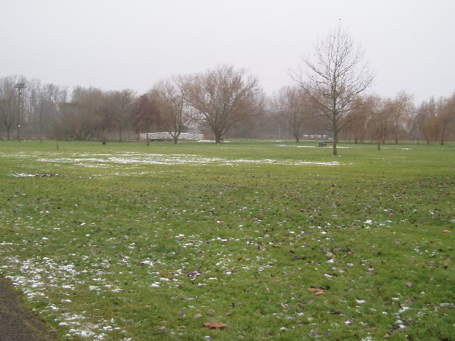
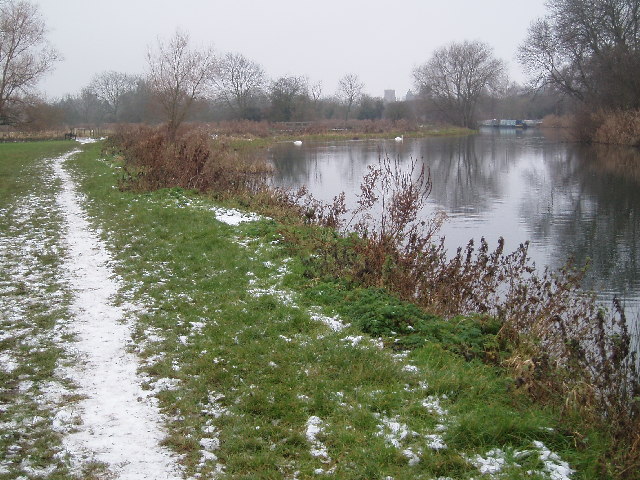
Lammas Meadow is a picturesque nature reserve located in Huntingdonshire, England. It covers an area of approximately 50 hectares and is characterized by its diverse landscape consisting of downs, moorland, and meadows. The meadow is situated near the village of Lammas and is easily accessible to both locals and visitors.

The meadow is renowned for its rich biodiversity and is home to a wide range of plant and animal species. It is particularly known for its vibrant wildflower displays, which attract numerous butterflies and bees during the summer months. The meadow is also a haven for birdwatchers, as it hosts a variety of bird species, including skylarks and lapwings.

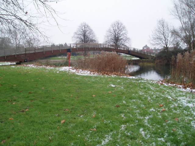
One of the notable features of Lammas Meadow is its gently rolling hills and valleys, which provide a stunning backdrop for leisurely walks and picnics. Visitors can explore the network of footpaths that traverse the meadow, allowing them to fully immerse themselves in the natural beauty of the surroundings.

The meadow is managed by local conservation authorities, who work tirelessly to maintain and preserve its ecological integrity. This includes regular maintenance of the footpaths, controlling invasive species, and undertaking habitat restoration projects.

Lammas Meadow is not only a sanctuary for wildlife but also serves as a recreational space for the local community. Its tranquil setting and breathtaking views make it an ideal spot for outdoor activities such as nature walks, birdwatching, and photography. With its unique blend of downs, moorland, and meadows, Lammas Meadow truly offers a slice of natural paradise in Huntingdonshire.

If you have any feedback on the listing, please let us know in the comments section below.

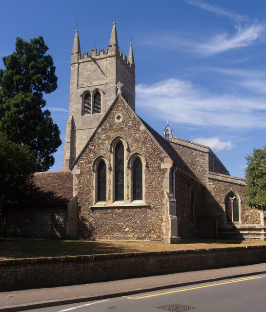
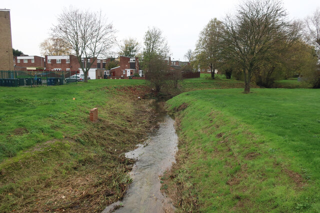
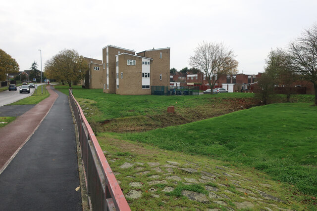
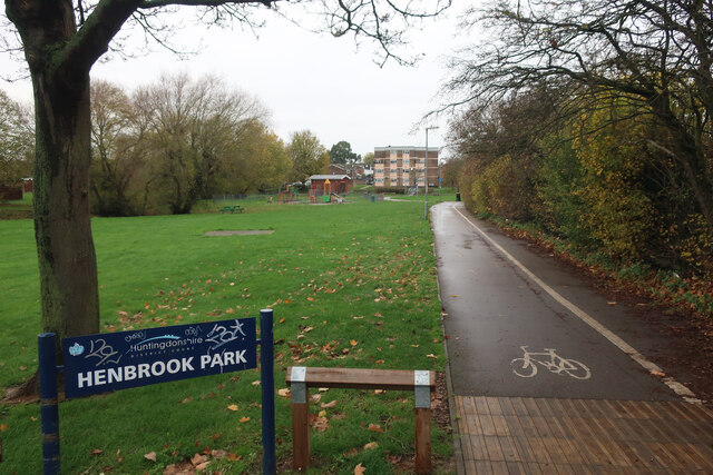
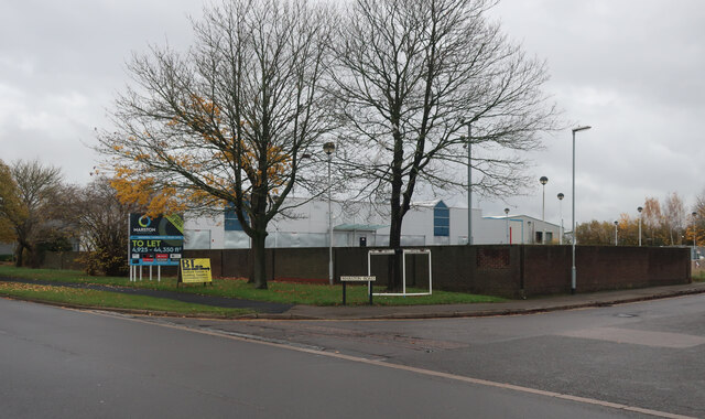
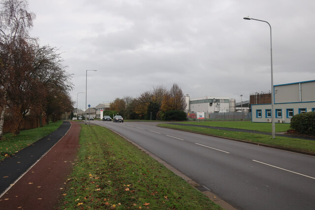
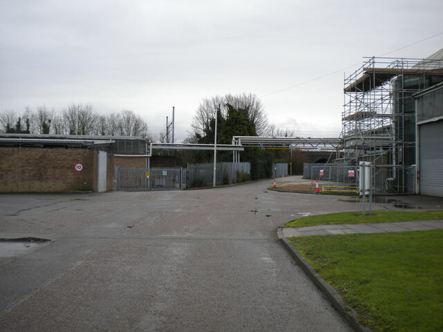
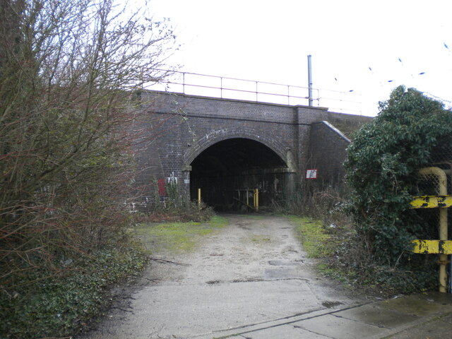
Lammas Meadow Images

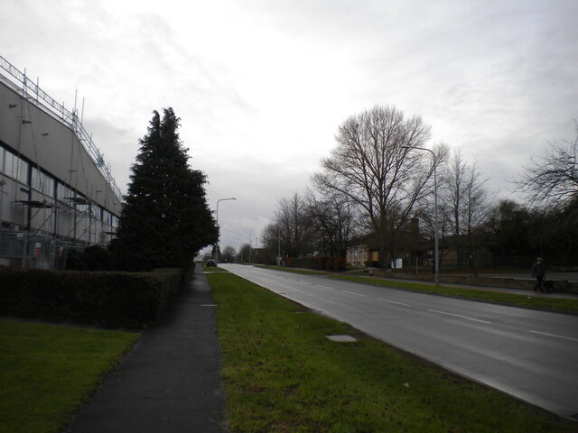
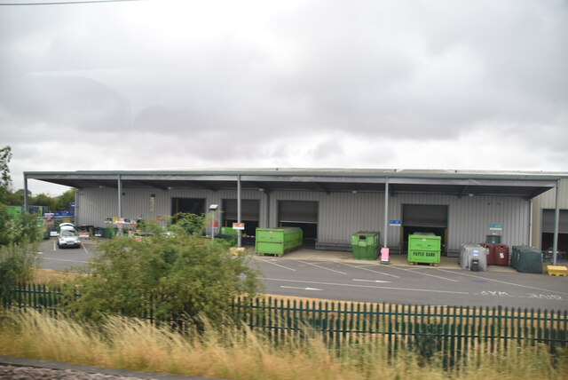
Images are sourced within 2km of 52.235053/-0.27167446 or Grid Reference TL1861. Thanks to Geograph Open Source API. All images are credited.

St Neots : Church of St Mary Grade II* listed - <span class="nowrap"><a title="https://historicengland.org.uk/listing/the-list/list-entry/1127993?section=official-list-entry" rel="nofollow ugc noopener" href="https://historicengland.org.uk/listing/the-list/list-entry/1127993?section=official-list-entry">Link</a><img style="margin-left:2px;" alt="External link" title="External link - shift click to open in new window" src="https://s1.geograph.org.uk/img/external.png" width="10" height="10"/></span>.
St Neots : Church of St Mary
Grade II* listed - LinkExternal link.
Hen Brook, St Neots
Hen Brook, St Neots
Bridge over Hen Brook, St Neots
Henbrook Park, St Neots
Coveris, St Neots Manufacturing various types of packaging.
Coveris, St Neots
Manufacturing various types of packaging.
Marston Business Park, St Neots
Cromwell Road, St Neots
Access road into Sealed Air site, St Neots Off Cromwell Road. Also host to a public footpath.
Access road into Sealed Air site, St Neots
Off Cromwell Road. Also host to a public footpath.
Railway bridge over track, St Neots Carrying the East Coast Main Line across a track that is also a public footpath.
Railway bridge over track, St Neots
Carrying the East Coast Main Line across a track that is also a public footpath.
Cromwell Road, St Neots
St Neots Recycling Centre
The Riverside Park, St Neots
Footbridge over Great Ouse
Ouse Valley Way
Ouse Valley Way
Eynesbury, St. Neots Thatchers try to get a roof done in the brief sunny spells between rain showers, close to the junction of Howitt's Lane and Berkley Street, Eynesbury.
Eynesbury, St. Neots
Thatchers try to get a roof done in the brief sunny spells between rain showers, close to the junction of Howitt's Lane and Berkley Street, Eynesbury.
Great Ouse, St Neots Camping and Caravanning Club site.
Great Ouse, St Neots
Camping and Caravanning Club site.
Camping and Caravanning Club site - St Neots
The Cambridgeshire Hunter Located next to Eynesbury football ground.
The Cambridgeshire Hunter
Located next to Eynesbury football ground.
Show me another place!

Lammas Meadow is located at Grid Ref: TL1861 (Lat: 52.235053, Lng: -0.27167446)

Administrative County: Cambridgeshire

District: Huntingdonshire

Police Authority: Cambridgeshire

What 3 Words

///cones.news.scrolled. Near Little Paxton, Cambridgeshire

Related Wikis

St Neots Common

St Neots Common is a 33.4-hectare (83-acre) biological Site of Special Scientific Interest in St Neots in Cambridgeshire.This site on the east bank of...

River Kym

The River Kym is a river in Cambridgeshire, England. It flows through the village of Tilbrook, to Kimbolton, and joins the Great Ouse at St Neots. It is...

St Neots Museum

St Neots Museum is a local museum located in St Neots, within the Huntingdonshire District of Cambridgeshire, England.The museum is housed in the Old Court...

St Neots

St Neots is a town and civil parish in the Huntingdonshire district of Cambridgeshire, England. It is 18 miles (29 km) west of Cambridge. The areas of...

Nearby Amenities

Located within 500m of 52.235053,-0.27167446
Turning Circle
Lat/Long: 52.2355763/-0.2656271
Turning Circle
Lat/Long: 52.2333902/-0.2676376
Turning Circle
Lat/Long: 52.2343415/-0.2677642
Turning Circle
Lat/Long: 52.2354678/-0.2646539
Barrier: kissing_gate
Foot: yes
Lat/Long: 52.2312346/-0.2699409
Barrier: kissing_gate
Foot: yes
Lat/Long: 52.2324413/-0.2713277
Barrier: kissing_gate
Foot: yes
Lat/Long: 52.2380669/-0.2687324
Bus Stop
Savile's Close
Bus: yes
Naptan AtcoCode: 0500HSTNS001
Naptan Bearing: NW
Naptan CommonName: Savile's Close
Naptan Indicator: opp
Naptan Landmark: Saviles Close
Naptan NaptanCode: cmbdtata
Naptan ShortCommonName: Savile's Close
Naptan Street: Cross Hall Road
Naptan Verified: no
Public Transport: platform
Source: naptan_import
Lat/Long: 52.2344398/-0.2777135
Bus Stop
Savile's Close
Bus: yes
Naptan AtcoCode: 0500HSTNS070
Naptan Bearing: SE
Naptan BusStopType: CUS
Naptan CommonName: Savile's Close
Naptan Indicator: near
Naptan Landmark: Savile's Close
Naptan NaptanCode: cmbdtgaw
Naptan ShortCommonName: Savile's Close
Naptan Street: Cross Hall Road
Naptan Verified: no
Public Transport: platform
Source: naptan_import
Lat/Long: 52.2345485/-0.2777679
Bench
Lat/Long: 52.2310689/-0.2744405
Barrier: kissing_gate
Lat/Long: 52.2325016/-0.2693582
Barrier: kissing_gate
Lat/Long: 52.2339947/-0.2689278
Access: destination
Barrier: bollard
Motor Vehicle: yes
Lat/Long: 52.2350592/-0.278081
Leisure: slipway
Seamark Small Craft Facility Category: slipway
Lat/Long: 52.2378651/-0.2723562
Leisure: slipway
Seamark Small Craft Facility Category: slipway
Seamark Type: small_craft_facility
Lat/Long: 52.2308156/-0.2729478
Ele: 24.2
Lat/Long: 52.2308236/-0.2701497
Building: bunker
Bunker Type: pillbox
Military: bunker
Lat/Long: 52.2311535/-0.2701213
Generator Method: photovoltaic
Generator Output Electricity: yes
Generator Source: solar
Generator Type: solar_photovoltaic_panel
Location: roof
Power: generator
Lat/Long: 52.2320494/-0.2769421
White House Boating Club
Club: yes
Seamark Small Craft Facility Category: nautical_club
Lat/Long: 52.2377652/-0.2727345
Seamark Small Craft Facility Category: chandler
Shop: chandler
Lat/Long: 52.2382567/-0.2724691
The data included in this document is from www.openstreetmap.org. The data is made available under ODbL.

Have you been to Lammas Meadow?

Leave your review of Lammas Meadow below (or comments, questions and feedback).