Misbrooks Green

Downs, Moorland in Surrey Mole Valley

England

Misbrooks Green

Old Milestone, A24, The Street, by No. 17 Westminster Cottage The milestone is located on the South East side of the road, in the pavement back to the fence. Parish of Capel (Mole Valley District). Metal plate attached to stone post, Dorking plate design, erected by Horsham & Dorking turnpike trust in the 19th century.

Inscription reads:-   29 / FROM / WESTR / BRIDGE

Grade II listed by Historic England, List Entry Number: 1378129   <span class="nowrap"><a title="https://historicengland.org.uk/listing/the-list/list-entry/1378129" rel="nofollow ugc noopener" href="https://historicengland.org.uk/listing/the-list/list-entry/1378129">Link</a><img style="margin-left:2px;" alt="External link" title="External link - shift click to open in new window" src="https://s1.geograph.org.uk/img/external.png" width="10" height="10"/></span>

Milestone Society National ID: SY_LA29
Old Milestone, A24, The Street, by No. 17 Westminster Cottage Credit: Lionel Joseph

Misbrooks Green is a picturesque area located in the county of Surrey, England. Situated amidst the stunning Downs and Moorland landscapes, it offers residents and visitors a tranquil and idyllic setting to enjoy the beauty of nature.

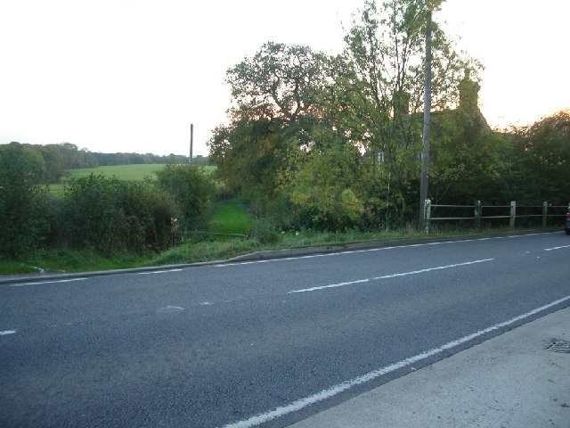
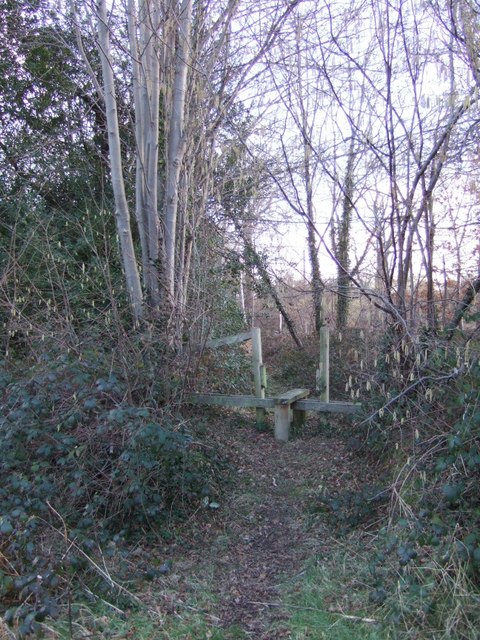
The Downs, with their rolling hills and breathtaking views, are a prominent feature of Misbrooks Green. The area is blessed with expansive green spaces, perfect for outdoor activities such as hiking, cycling, and picnicking. The Downs also provide a habitat for a variety of flora and fauna, making it a haven for nature enthusiasts and birdwatchers.

In addition to the Downs, Misbrooks Green is surrounded by Moorland, characterized by its wild, rugged terrain. This unique landscape is dotted with heather, gorse, and bracken, creating a stunning contrast against the clear blue skies. Moorland is home to various species of birds, including the iconic red grouse, as well as other wildlife like rabbits and deer.

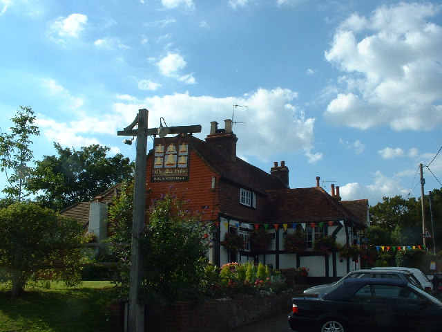
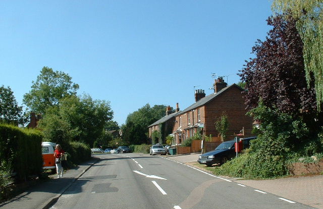
The village itself is small and charming, with a tight-knit community. The local residents take pride in their surroundings, maintaining the area's natural beauty and ensuring it remains a peaceful retreat for all who visit. The village has a few amenities, including a quaint country pub and a small village shop.

Overall, Misbrooks Green, with its Downs and Moorland, offers a serene escape from the hustle and bustle of city life. It is a place where one can immerse themselves in nature, explore the great outdoors, and experience the true essence of Surrey's countryside.

If you have any feedback on the listing, please let us know in the comments section below.

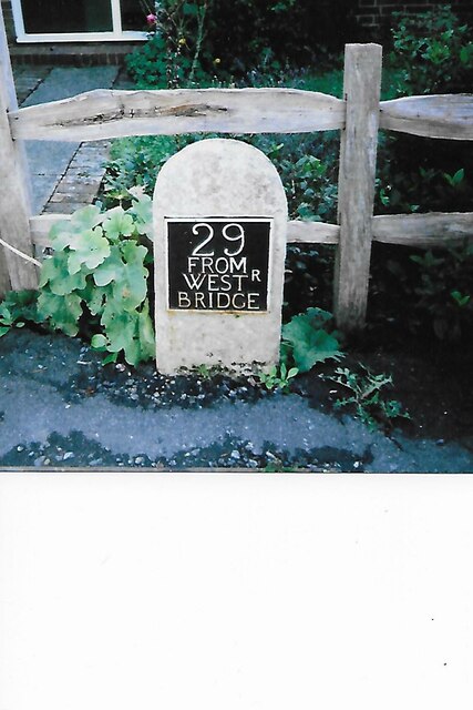
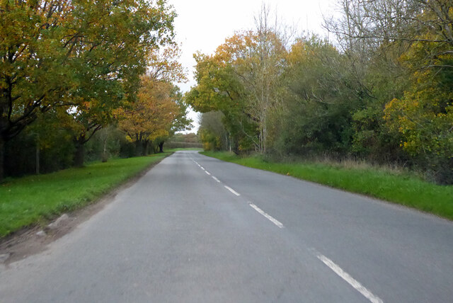
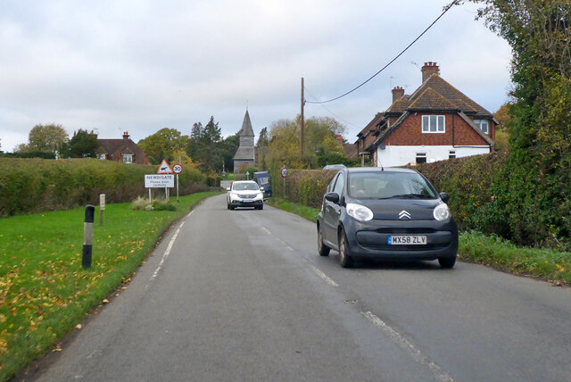
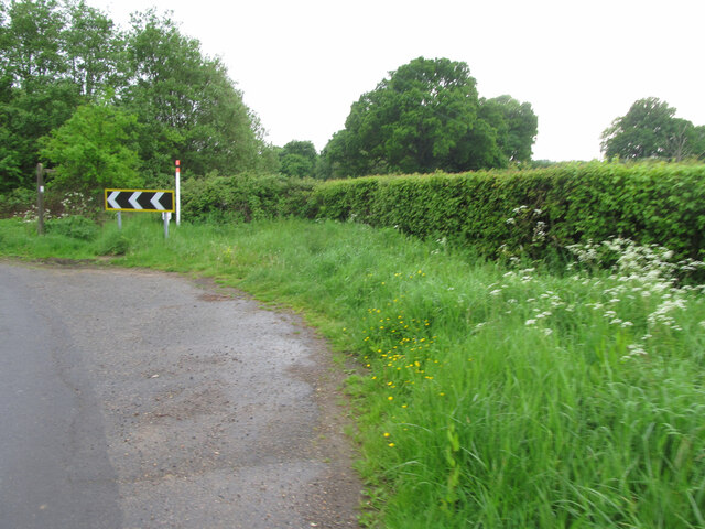
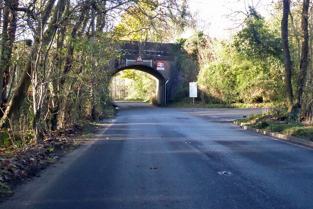
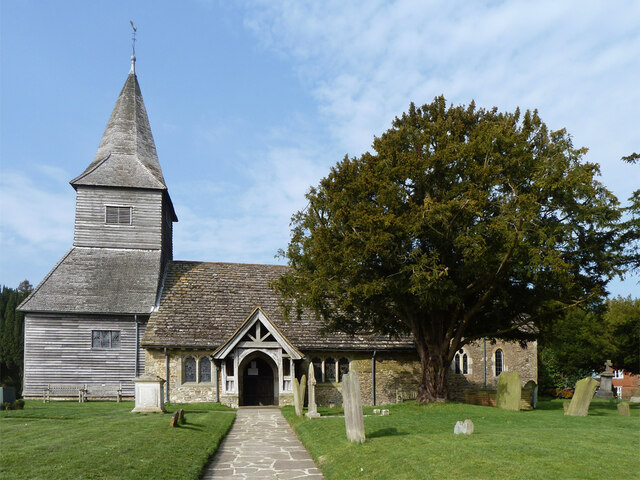
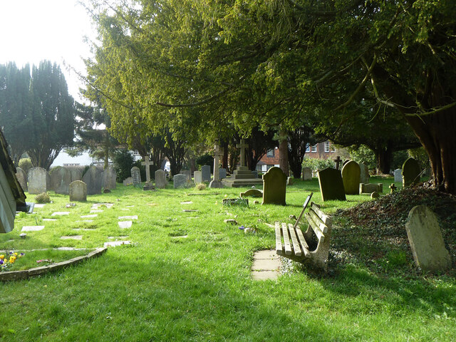
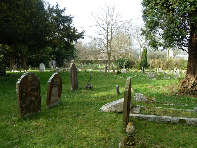
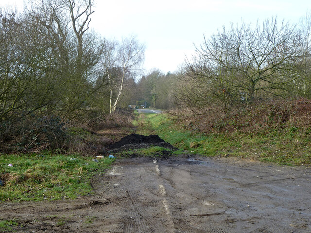
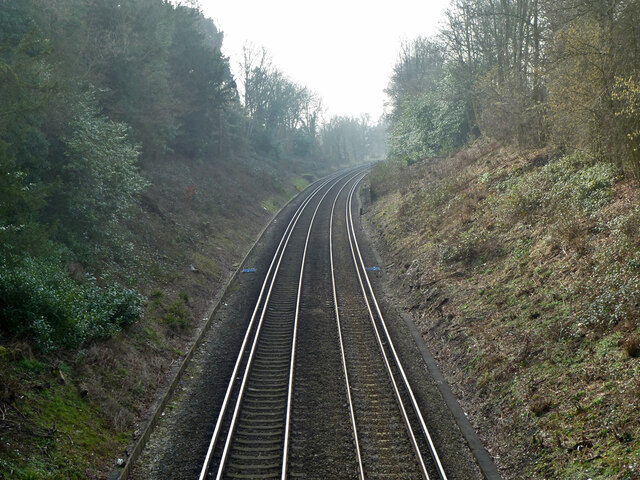
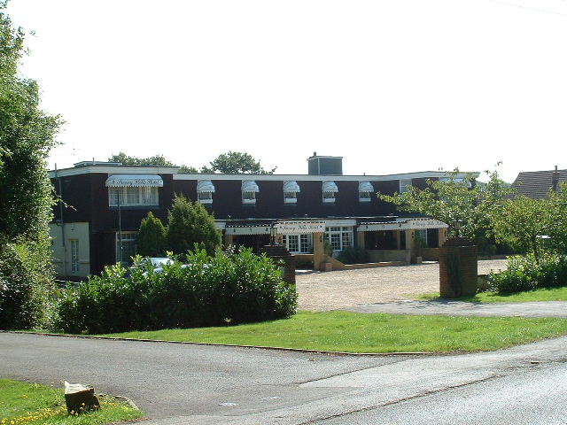
Misbrooks Green Images

Images are sourced within 2km of 51.15947/-0.31223057 or Grid Reference TQ1841. Thanks to Geograph Open Source API. All images are credited.

Old Milestone, A24, The Street, by No. 17 Westminster Cottage The milestone is located on the South East side of the road, in the pavement back to the fence. Parish of Capel (Mole Valley District). Metal plate attached to stone post, Dorking plate design, erected by Horsham & Dorking turnpike trust in the 19th century.

Inscription reads:-   29 / FROM / WESTR / BRIDGE

Grade II listed by Historic England, List Entry Number: 1378129   <span class="nowrap"><a title="https://historicengland.org.uk/listing/the-list/list-entry/1378129" rel="nofollow ugc noopener" href="https://historicengland.org.uk/listing/the-list/list-entry/1378129">Link</a><img style="margin-left:2px;" alt="External link" title="External link - shift click to open in new window" src="https://s1.geograph.org.uk/img/external.png" width="10" height="10"/></span>

Milestone Society National ID: SY_LA29
Old Milestone, A24, The Street, by No. 17 Westminster Cottage
The milestone is located on the South East side of the road, in the pavement back to the fence. Parish of Capel (Mole Valley District). Metal plate attached to stone post, Dorking plate design, erected by Horsham & Dorking turnpike trust in the 19th century. Inscription reads:- 29 / FROM / WESTR / BRIDGE Grade II listed by Historic England, List Entry Number: 1378129 LinkExternal link Milestone Society National ID: SY_LA29
Rusper Road Towards Newdigate from Rusper.
Rusper Road
Towards Newdigate from Rusper.
Rusper Road entering Newdigate
Oil pipeline markers at a corner of Misbrooks Green Road The 10 inch Esso oil pipeline (presumed to be that from Fawley to Purfleet) is marked by a prominent post with a fluorescent cap and an older style short concrete post. A right of way marker on the left points to a public footpath running along the North side of Misbrooks Common.
Oil pipeline markers at a corner of Misbrooks Green Road
The 10 inch Esso oil pipeline (presumed to be that from Fawley to Purfleet) is marked by a prominent post with a fluorescent cap and an older style short concrete post. A right of way marker on the left points to a public footpath running along the North side of Misbrooks Common.
Railway bridge by Ockley station The station approach is on the right.
Railway bridge by Ockley station
The station approach is on the right.
Newdigate church St. Peter's is a grade II*(star) listed building, oldest parts 12th and 13th centuries.
Newdigate church
St. Peter's is a grade II*(star) listed building, oldest parts 12th and 13th centuries.
Newdigate churchyard
Original alignment of A29 Ockley Road This dates from before the A24 roundabout and Capel bypass were built. It seems to have been retained as a path, as the pavement is missing on the deviation route.
Original alignment of A29 Ockley Road
This dates from before the A24 roundabout and Capel bypass were built. It seems to have been retained as a path, as the pavement is missing on the deviation route.
Horsham - Dorking line at A29 bridge Towards Horsham.
Horsham - Dorking line at A29 bridge
Towards Horsham.
Newdigate Church
Newdigate Church
The Six Bells
The Six Bells
Surrey Hills Hotel Near Beare Green south of the A24/A29 junction
Surrey Hills Hotel
Near Beare Green south of the A24/A29 junction
North side of Capel Entry to village from the North
North side of Capel
Entry to village from the North
Capel Church St John the Baptist - near the village centre
Capel Church
St John the Baptist - near the village centre
Beare Green Road, at Park Lodge looking south-west
Beare Green Road, at Park Lodge
looking south-west
Junction of Henhurst Cross Road (foreground) with Beare Green Road (ahead/right) looking south
Junction of Henhurst Cross Road (foreground) with Beare Green Road (ahead/right)
looking south
Footpath at Trig Street
Show me another place!

Misbrooks Green is located at Grid Ref: TQ1841 (Lat: 51.15947, Lng: -0.31223057)

Administrative County: Surrey

District: Mole Valley

Police Authority: Surrey

What 3 Words

///trying.tiger.stove. Near Capel, Surrey

Related Wikis

Capel, Surrey

Capel () is a village and civil parish in southern Surrey, England. It is equidistant between Dorking and Horsham – about 5 miles (8.0 km) away. Around...

Ockley railway station

Ockley railway station serves the villages of Ockley and Capel in Surrey, England and is 1.4 miles (2.3 km) from Ockley village and 0.5 miles (0.80 km...

Holmwood railway station

Holmwood railway station serves the villages of Beare Green and South Holmwood in Surrey, England, on the Sutton and Mole Valley Lines between Dorking...

Newdigate Brickworks

Newdigate Brickworks is a 24-hectare (59-acre) nature reserve in Newdigate in Surrey. It is managed by the Surrey Wildlife Trust.The clay pits of this...

Clock House Brickworks

Clock House Brickworks is a 35.9-hectare (89-acre) geological Site of Special Scientific Interest south of Capel in Surrey. It is a Geological Conservation...

Auclaye

Auclaye is a 0.6-hectare (1.5-acre) geological Site of Special Scientific Interest south of Capel in Surrey. It is a Geological Conservation Review site...

Newdigate

Newdigate is a village and civil parish in the Mole Valley borough of Surrey lying in a relatively flat part of the Weald to the east of the A24 road between...

Broome Hall

Broome Hall is a Grade II-listed country house with grounds including cottages and outhouses on the wooded, upper southern slopes of the Greensand Ridge...

Nearby Amenities

Located within 500m of 51.15947,-0.31223057
Misbrooks Farm
Place: farm
Source: npe
Lat/Long: 51.1574447/-0.3104433
Bus Stop
Capel House Farm
Bus: yes
Naptan AtcoCode: 40004408066B
Naptan Bearing: SW
Naptan CommonName: Capel House Farm
Naptan Indicator: adj
Naptan Landmark: Capel House Farm
Naptan NaptanCode: surawtjw
Naptan Street: The Street
Naptan Verified: no
Public Transport: platform
Lat/Long: 51.1577242/-0.318545
Barrier: stile
Lat/Long: 51.1571537/-0.308085
Capel House Farm
Bus: yes
Public Transport: stop_position
Lat/Long: 51.1577611/-0.3186126
Barrier: stile
Lat/Long: 51.1589906/-0.3163897
Barrier: stile
Lat/Long: 51.1589958/-0.3163547
Barrier: stile
Bicycle: yes
Foot: yes
Stile: stepover
Lat/Long: 51.1589204/-0.3173119
Barrier: kissing_gate
Foot: yes
Material: metal
Source: survey
Lat/Long: 51.1612547/-0.3079646
Barrier: stile
Material: wood
Step Count: 1
Stile: stepover
Lat/Long: 51.1613785/-0.3069623
Location Transition: yes
Power: pole
Source: Bing
Lat/Long: 51.1594876/-0.3176514
Power: pole
Source: Bing
Lat/Long: 51.1599553/-0.3152347
Location Transition: yes
Power: pole
Source: Bing
Lat/Long: 51.159639/-0.3176514
Power: pole
Source: Bing
Lat/Long: 51.1598291/-0.3151944
Power: pole
Lat/Long: 51.1564889/-0.3076493
Broomell's Farm
Place: farm
Lat/Long: 51.1602735/-0.3072128
Power: pole
Lat/Long: 51.1604684/-0.3113347
Power: pole
Lat/Long: 51.1601925/-0.3134
Power: pole
Lat/Long: 51.1600966/-0.3134698
Power: pole
Lat/Long: 51.1602648/-0.3110692
Power: pole
Lat/Long: 51.1589729/-0.3059006
Power: pole
Lat/Long: 51.1596525/-0.3081295
Power: pole
Lat/Long: 51.1591193/-0.3059891
Power: pole
Lat/Long: 51.1573589/-0.3067392
Power: pole
Lat/Long: 51.1561528/-0.3092601
Power: pole
Lat/Long: 51.1557339/-0.3121595
Power: pole
Lat/Long: 51.1555488/-0.3134068
Power: pole
Lat/Long: 51.1556468/-0.3112006
Power: pole
Lat/Long: 51.1626741/-0.3161888
Power: pole
Lat/Long: 51.1618432/-0.3165697
Power: pole
Lat/Long: 51.1609551/-0.3169506
Power: pole
Lat/Long: 51.1601657/-0.317243
Power: pole
Lat/Long: 51.1591325/-0.317023
Power: pole
Lat/Long: 51.1585218/-0.3166059
Power: pole
Lat/Long: 51.1579196/-0.31628
Power: pole
Lat/Long: 51.1576586/-0.3169556
Power: pole
Lat/Long: 51.1567278/-0.3155704
Power: pole
Lat/Long: 51.1561205/-0.314409
Colour: white
Location: surface
Marker: pedestal
Material: concrete
Operator: Esso
Position: left
Utility: oil
Lat/Long: 51.160317/-0.311442
Colour: white
Location: surface
Marker: pedestal
Material: concrete
Operator: Esso
Position: left
Utility: oil
Lat/Long: 51.1603674/-0.3111175
Fixme: might be a pipeline marker at this side in gap in hedge
Lat/Long: 51.1611996/-0.3068341
Colour: white
Marker: post
Material: concrete
Utility: oil
Lat/Long: 51.1598126/-0.3174661
Colour: white
Marker: post
Material: concrete
Utility: oil
Lat/Long: 51.1597975/-0.3177005
Colour: white
Marker: post
Material: concrete
Utility: oil
Lat/Long: 51.1612659/-0.3079817
Colour: white
Marker: post
Material: plastic
Utility: oil
Lat/Long: 51.1611891/-0.3068359
The data included in this document is from www.openstreetmap.org. The data is made available under ODbL.

Have you been to Misbrooks Green?

Leave your review of Misbrooks Green below (or comments, questions and feedback).