Surfleet Fen

Downs, Moorland in Lincolnshire South Holland

England

Surfleet Fen

Swale Bank heading east
Swale Bank heading east Credit: JThomas

Surfleet Fen is a picturesque area located in the county of Lincolnshire, England. This charming location is known for its stunning downs and moorland, which attract nature enthusiasts and outdoor adventurers alike.

The downs of Surfleet Fen offer breathtaking views of the surrounding countryside, with rolling hills covered in lush green grass and dotted with colorful wildflowers. These open expanses are perfect for leisurely walks, picnics, or even kite flying on windy days. Visitors can immerse themselves in the tranquility of the downs, enjoying the fresh air and peaceful atmosphere.

The moorland of Surfleet Fen is equally captivating, characterized by its vast stretches of open marshes and heathland. This diverse ecosystem is home to a variety of unique plant and animal species, making it a haven for wildlife enthusiasts. Birdwatchers will be delighted by the numerous species that inhabit the area, including rare and migratory birds.

In addition to its natural beauty, Surfleet Fen also offers a range of recreational activities for visitors to enjoy. The area is ideal for hiking, cycling, and horseback riding, with numerous trails and paths winding through the downs and moorland. Anglers will also find plenty of opportunities to indulge in their favorite pastime, as the fen boasts several fishing spots along its waterways.

Surfleet Fen truly captures the essence of Lincolnshire's natural beauty, providing a peaceful retreat for visitors seeking to connect with nature and experience the charm of the English countryside.

If you have any feedback on the listing, please let us know in the comments section below.
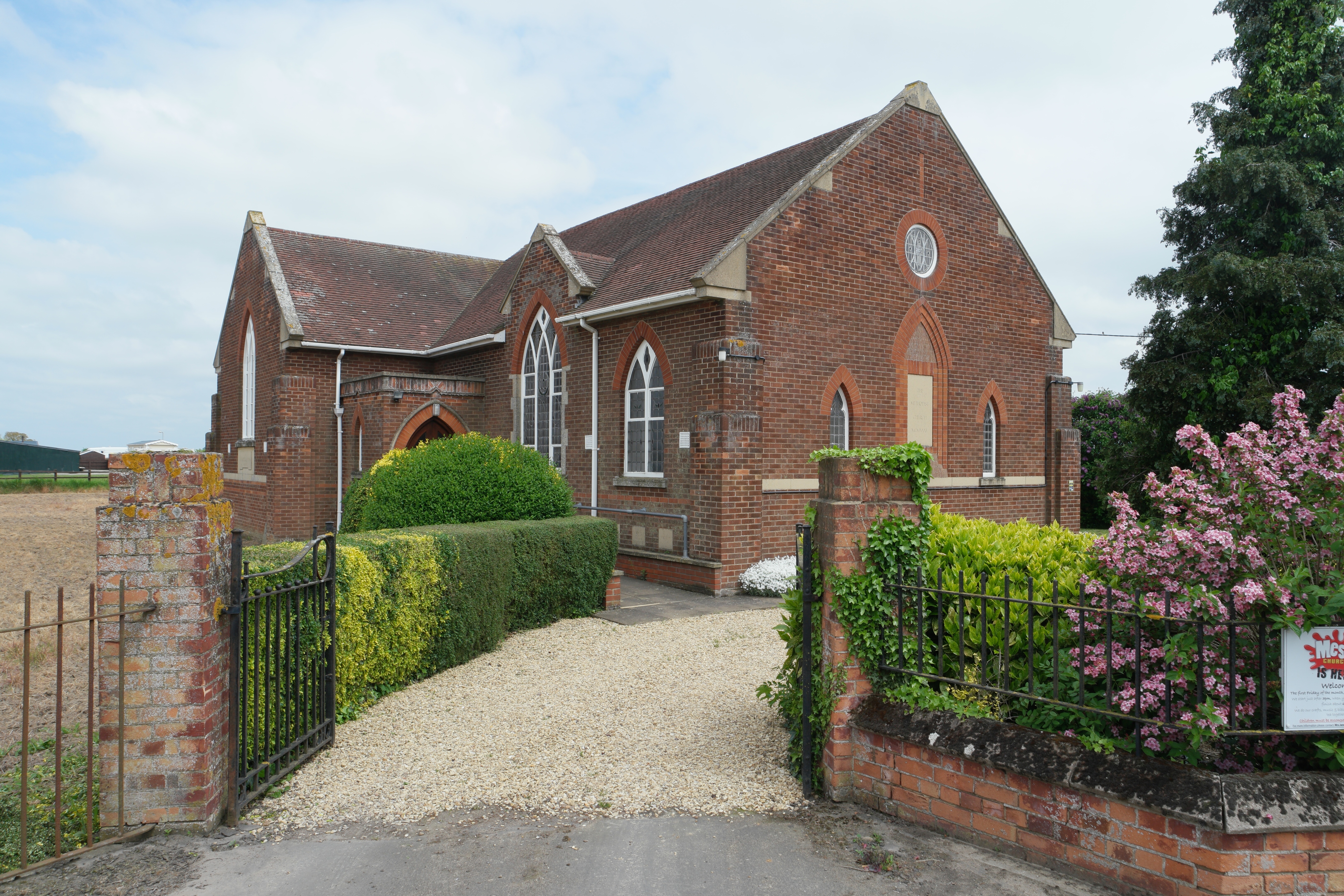
Surfleet Fen Images

Images are sourced within 2km of 52.861789/-0.24696305 or Grid Reference TF1830. Thanks to Geograph Open Source API. All images are credited.

Swale Bank heading east
Twenty Foot Drain, Gosberton High Fen, Lincs beside the B1397 High Fen road to Gosberton Clough.
Twenty Foot Drain, Gosberton High Fen, Lincs
beside the B1397 High Fen road to Gosberton Clough.
Village entrance, Gosberton Risegate and Clough, Lincs – view E towards Gosberton Clough with the Twenty Foot Drain on the left and the B1397 High Fen road on the right.
Village entrance, Gosberton Risegate and Clough, Lincs
– view E towards Gosberton Clough with the Twenty Foot Drain on the left and the B1397 High Fen road on the right.
Long, straight Fenland road, Gosberton Clough, Lincs – view W along the B1397 High Fen.
Long, straight Fenland road, Gosberton Clough, Lincs
– view W along the B1397 High Fen.
Clough Bridge, Gosberton Clough, Lincs This concrete bridge over the Twenty Foot Drain was constructed by Holland County Council in 1938.
Clough Bridge, Gosberton Clough, Lincs
This concrete bridge over the Twenty Foot Drain was constructed by Holland County Council in 1938.
Gosberton Fen Bridge, Gosberton Clough, Lincs This concrete bridge carries the B1397 over the Hammond Beck and was constructed by Holland County Council in 1938.
Gosberton Fen Bridge, Gosberton Clough, Lincs
This concrete bridge carries the B1397 over the Hammond Beck and was constructed by Holland County Council in 1938.
Bridge opposite Woodbine House This seemingly disused bridge is just across the road called Beck Bank from Woodbine House. The view across it can be seen at <a title="https://www.geograph.org.uk/photo/2692118" href="https://www.geograph.org.uk/photo/2692118">Link</a>
Bridge opposite Woodbine House
This seemingly disused bridge is just across the road called Beck Bank from Woodbine House. The view across it can be seen at Link
Looking over bridge opposite Woodbine House This seemingly disused bridge is just across the road called Beck Bank from Woodbine House. Another view of it can be seen at <a title="https://www.geograph.org.uk/photo/2692107" href="https://www.geograph.org.uk/photo/2692107">Link</a>
Looking over bridge opposite Woodbine House
This seemingly disused bridge is just across the road called Beck Bank from Woodbine House. Another view of it can be seen at Link
Looking along Long Drove at Hundred Fen Each of the villages between Bourne and Heckington, a distance of some 15 miles, almost without exception has a road leading out onto the fen named after its village and terminating at the South Forty Foot Drain. These roads are often straight, apart from double-sharp bends to keep them heading in the same direction. The road eastwards from the B1177 between Billingborough and Pointon is an exception as it crosses the South Forty Foot Drain. At first it is known as Neslam Road (after Neslam Fen) and after it crosses the Drain it becomes Long Drove. Unlike some of the other roads which cross the South Forty Foot Drain, this is a fairly quiet, narrow and bumpy road.
Looking along Long Drove at Hundred Fen
Each of the villages between Bourne and Heckington, a distance of some 15 miles, almost without exception has a road leading out onto the fen named after its village and terminating at the South Forty Foot Drain. These roads are often straight, apart from double-sharp bends to keep them heading in the same direction. The road eastwards from the B1177 between Billingborough and Pointon is an exception as it crosses the South Forty Foot Drain. At first it is known as Neslam Road (after Neslam Fen) and after it crosses the Drain it becomes Long Drove. Unlike some of the other roads which cross the South Forty Foot Drain, this is a fairly quiet, narrow and bumpy road.
Hundred Fen from Long Drove Each of the villages between Bourne and Heckington, a distance of some 15 miles, almost without exception has a road leading out onto the fen named after its village and terminating at the South Forty Foot Drain. These roads are often straight, apart from double-sharp bends to keep them heading in the same direction. The road eastwards from the B1177 between Billingborough and Pointon is an exception as it crosses the South Forty Foot Drain. At first it is known as Neslam Road (after Neslam Fen) and after it crosses the Drain it becomes Long Drove. Unlike some of the other roads which cross the South Forty Foot Drain, this is a fairly quiet, narrow and bumpy road. Sometimes, as here, the roads in this largely treeless landscape are lined by trees, whilst on the right is a typical fenland field.
Hundred Fen from Long Drove
Each of the villages between Bourne and Heckington, a distance of some 15 miles, almost without exception has a road leading out onto the fen named after its village and terminating at the South Forty Foot Drain. These roads are often straight, apart from double-sharp bends to keep them heading in the same direction. The road eastwards from the B1177 between Billingborough and Pointon is an exception as it crosses the South Forty Foot Drain. At first it is known as Neslam Road (after Neslam Fen) and after it crosses the Drain it becomes Long Drove. Unlike some of the other roads which cross the South Forty Foot Drain, this is a fairly quiet, narrow and bumpy road. Sometimes, as here, the roads in this largely treeless landscape are lined by trees, whilst on the right is a typical fenland field.
Looking across Hundred Fen This is a typical fenland scene with a flat landscape, large hedgeless fields, often isolated trees and lonely farms. The most noticeable feature is often the skies as here. This was a day of sunshine and heavy showers - towering clouds in the distance promise more rain.
Looking across Hundred Fen
This is a typical fenland scene with a flat landscape, large hedgeless fields, often isolated trees and lonely farms. The most noticeable feature is often the skies as here. This was a day of sunshine and heavy showers - towering clouds in the distance promise more rain.
Beck Bank and drain
Beck Bank and drain
Bridge over Beck by Beck Bank
Drain west from Short Drove
Long Drove
Long Drove
Long Drove and drain
South Drove at Quadring Low Fen
Broad Drove towards Gosberton Clough Flanked by drains either side, the road surface is uneven and poor.
Broad Drove towards Gosberton Clough
Flanked by drains either side, the road surface is uneven and poor.
Show me another place!

Surfleet Fen is located at Grid Ref: TF1830 (Lat: 52.861789, Lng: -0.24696305)

Administrative County: Lincolnshire

District: South Holland

Police Authority: Lincolnshire

What 3 Words

///winds.robe.intervene. Near Donington, Lincolnshire

Nearby Locations

Surfleet Fen

Related Wikis

Quadring Fen

Quadring Fen is a hamlet in the South Holland district of Lincolnshire, England. It is situated 2 miles (3.2 km) south from the A52 road, 5 miles (8.0...

Gosberton Clough

Gosberton Clough is a village in the civil parish of Gosberton and the South Holland district of Lincolnshire, England. It is 30 miles (50 km) south-east...

South Forty-Foot Drain

The South Forty-Foot Drain, also known as the Black Sluice Navigation, is the main channel for the land-drainage of the Black Sluice Level in the Lincolnshire...

Risegate

Risegate is a village in the civil parish of Gosberton and the South Holland district of Lincolnshire, England. It is 30 miles (50 km) south-east from...

Westhorpe, Lincolnshire

Westhorpe is a hamlet in the civil parish of Gosberton and the South Holland district of Lincolnshire, England. It is 30 miles (50 km) south-east from...

Gosberton railway station

Gosberton railway station was a station in Gosberton, Lincolnshire. It was opened in 1882 and closed for passengers on 11 September 1961 and freight on...

Donington Road railway station

Donington Road railway station was a station in Lincolnshire on the line between Spalding and Sleaford. == References == == External links == Donington...

Quadring

Quadring is a small village and civil parish in the South Holland district of Lincolnshire. It lies on the A152, 2 miles (3.2 km) north-east of Gosberton...

Nearby Amenities

Located within 500m of 52.861789,-0.24696305
Surfleet Fen
Place: locality
Source: Bing
Lat/Long: 52.8632093/-0.2518392
South View
Place: isolated_dwelling
Source: Bing
Lat/Long: 52.8585683/-0.2513667
Power: pole
Lat/Long: 52.8574528/-0.2486942
Power: pole
Lat/Long: 52.8581959/-0.2482126
Power: pole
Lat/Long: 52.858917/-0.2477619
Power: pole
Lat/Long: 52.859738/-0.2472515
Power: pole
Lat/Long: 52.860543/-0.2467756
Power: pole
Lat/Long: 52.8610331/-0.2458222
Power: pole
Lat/Long: 52.8615857/-0.2448579
Power: pole
Lat/Long: 52.8623695/-0.2444722
Power: pole
Lat/Long: 52.8631464/-0.2440898
Power: pole
Lat/Long: 52.8638634/-0.2437166
Power: pole
Lat/Long: 52.8645673/-0.2433706
Power: pole
Lat/Long: 52.8654123/-0.242959
Power: pole
Lat/Long: 52.865511/-0.2441434
Power: pole
Lat/Long: 52.8657203/-0.2452336
Power: pole
Lat/Long: 52.8658105/-0.2466091
Power: pole
Lat/Long: 52.8659768/-0.2490255
The data included in this document is from www.openstreetmap.org. The data is made available under ODbL.

Have you been to Surfleet Fen?

Leave your review of Surfleet Fen below (or comments, questions and feedback).