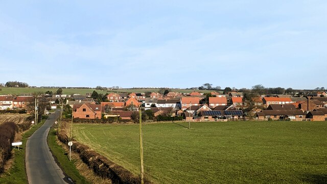
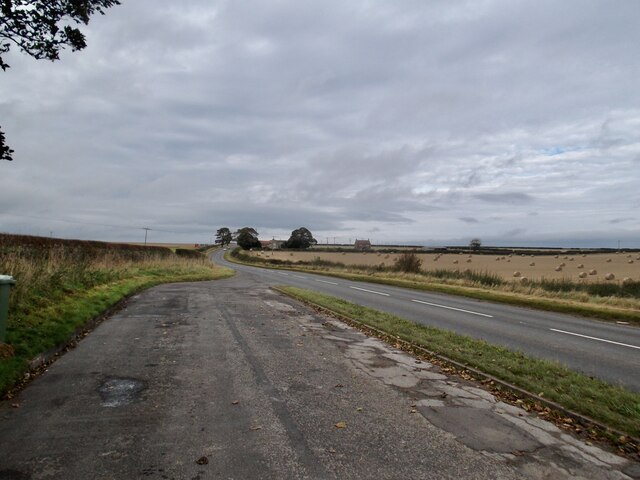
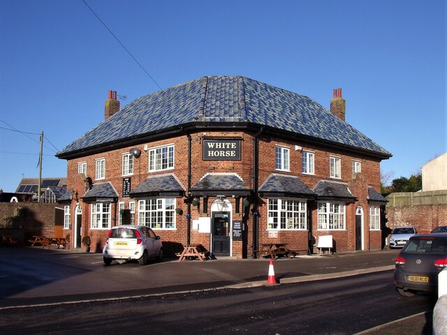
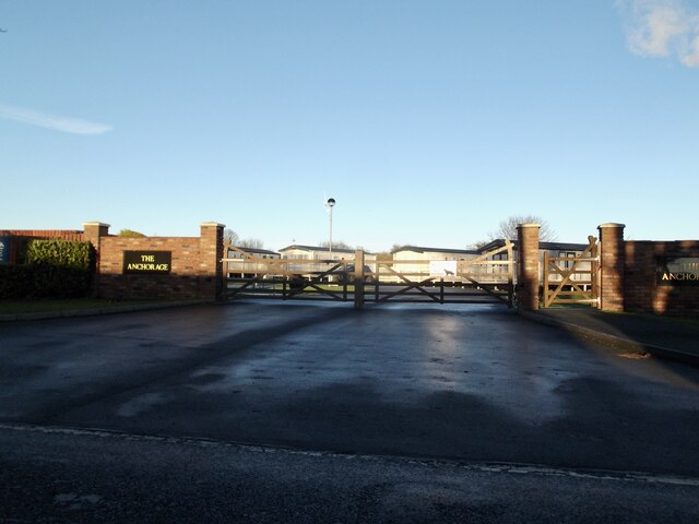
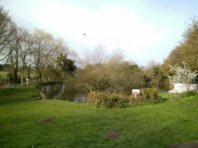
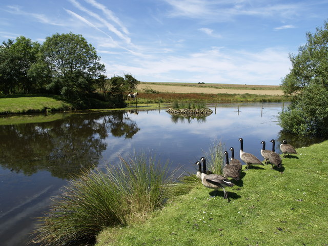
Newsham Field
Downs, Moorland in Yorkshire
England
Newsham Field
The requested URL returned error: 429 Too Many Requests
If you have any feedback on the listing, please let us know in the comments section below.
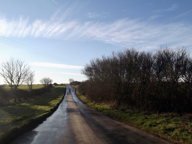
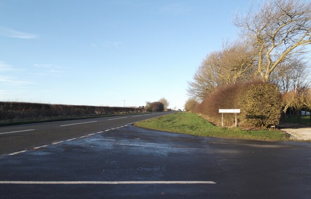
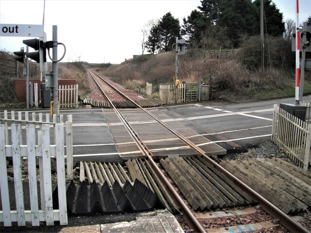
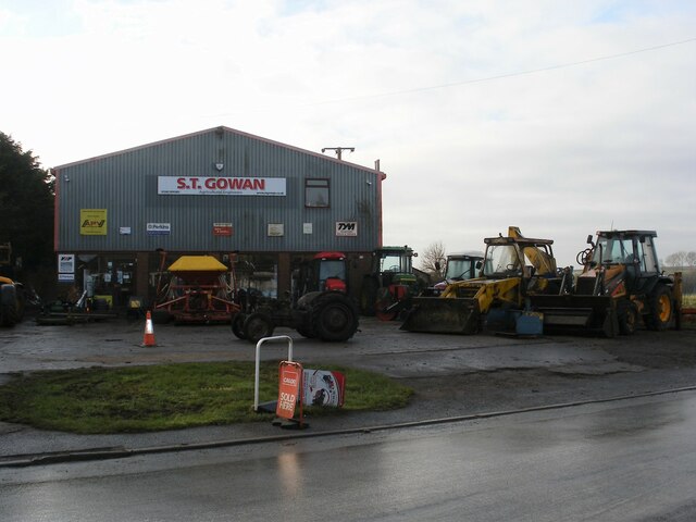
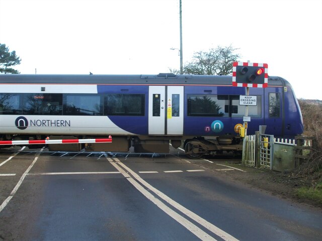
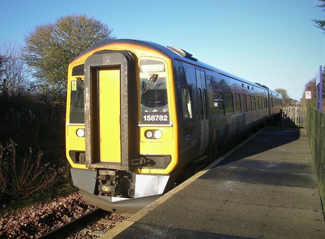
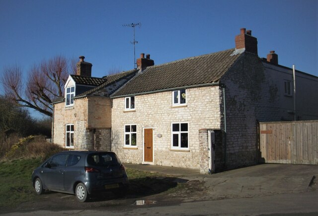
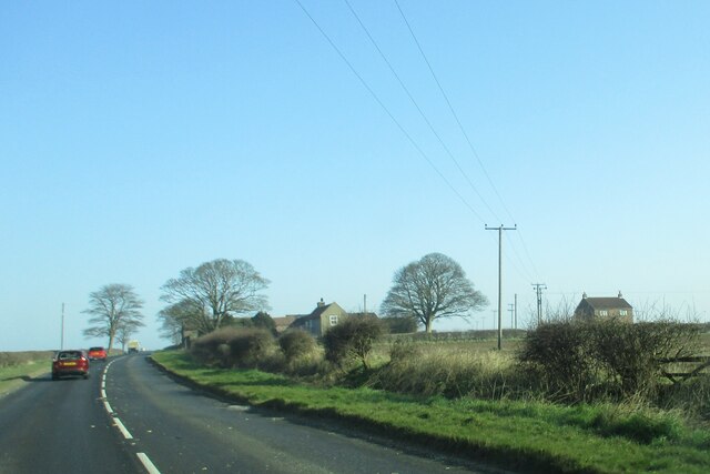
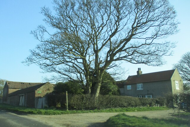
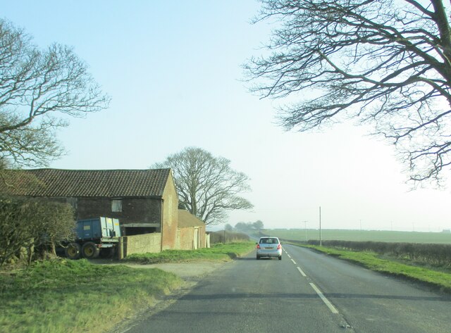
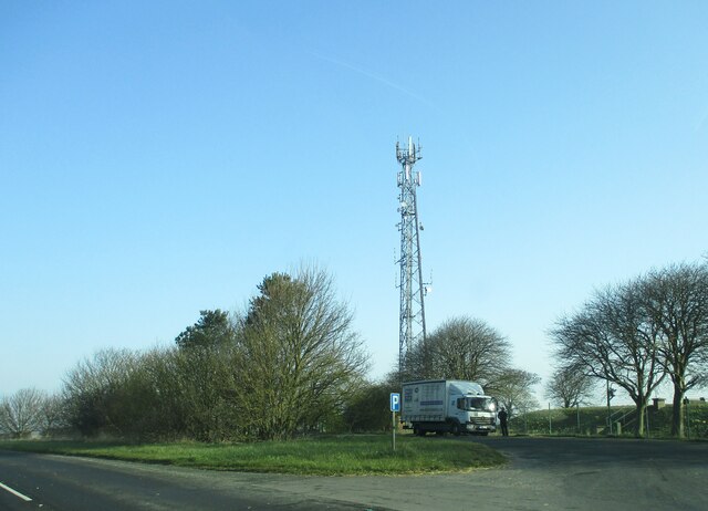
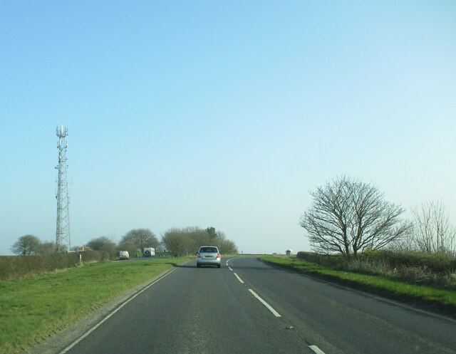
Newsham Field Images
Images are sourced within 2km of 54.124537/-0.1946879 or Grid Reference TA1871. Thanks to Geograph Open Source API. All images are credited.
Newsham Field is located at Grid Ref: TA1871 (Lat: 54.124537, Lng: -0.1946879)
Division: East Riding
Unitary Authority: East Riding of Yorkshire
Police Authority: Humberside
What 3 Words
///bunk.cakes.tables. Near Bempton, East Yorkshire
Nearby Locations
Related Wikis
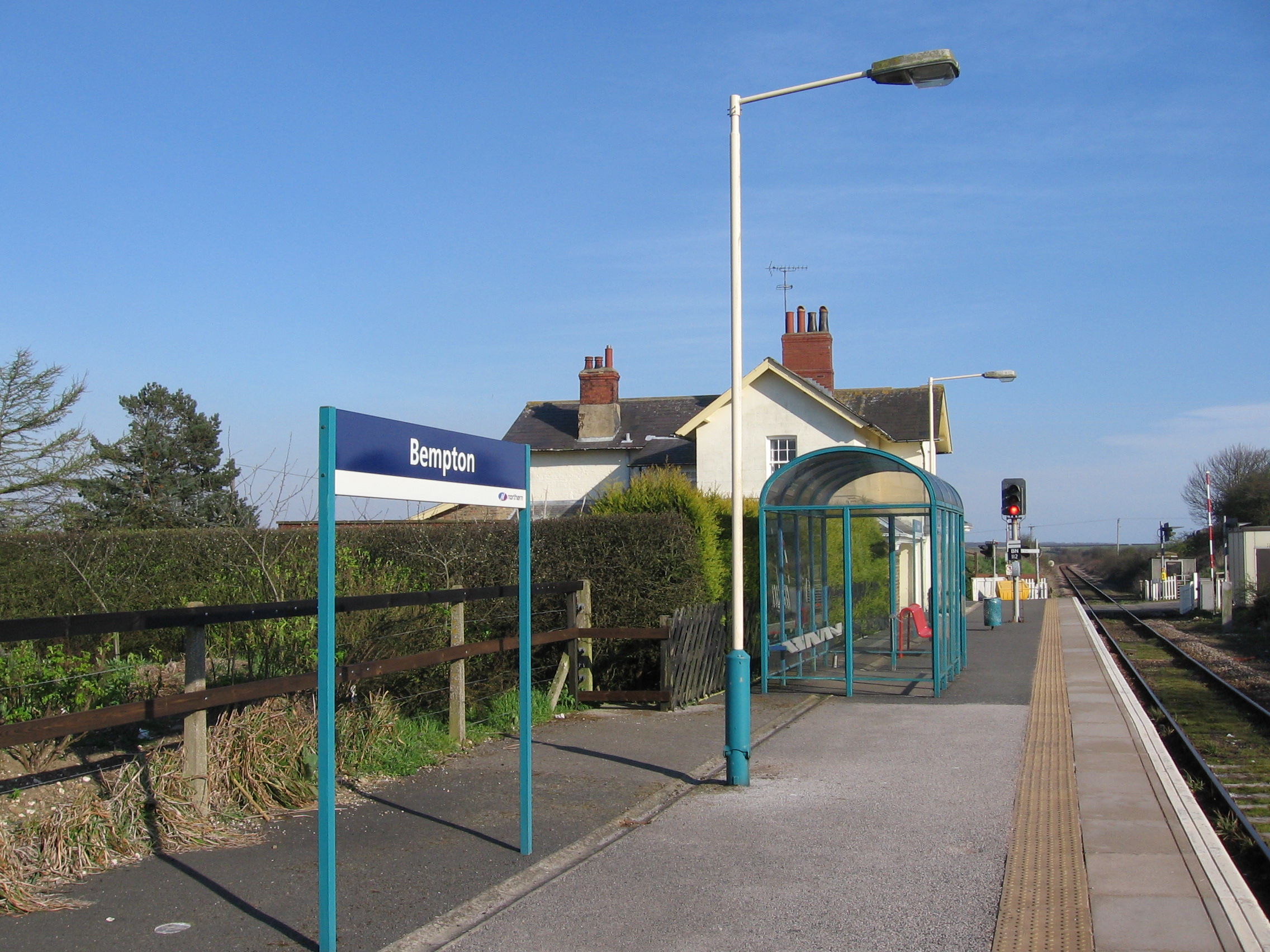
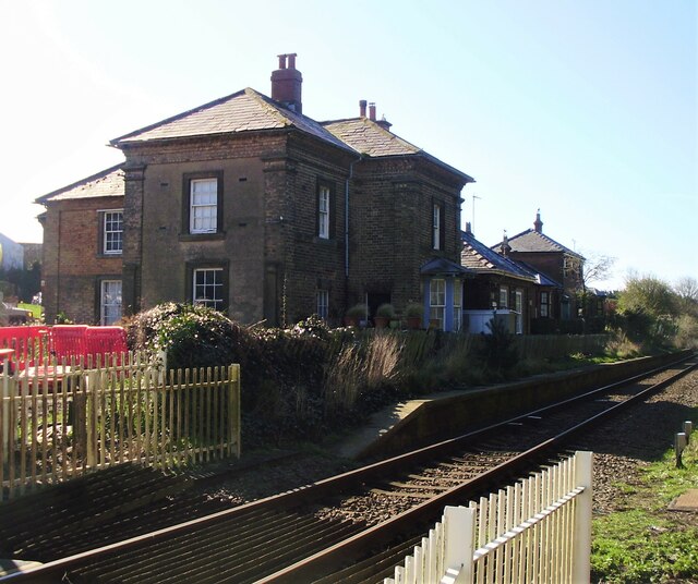
Bempton railway station
Bempton railway station serves the village of Bempton in the East Riding of Yorkshire, England. It is located on the Yorkshire Coast Line and is operated...
Buckton, East Riding of Yorkshire
Buckton is a small village and former civil parish, now in the parish of Bempton, in the East Riding of Yorkshire, England. It is near the North Sea coast...

Bempton
Bempton is a village and civil parish in the East Riding of Yorkshire, England, near the border with North Yorkshire. It is near the North Sea coast and...

Flamborough railway station
Flamborough railway station was located in the village of Marton, and was originally named after that location. However, there were several other railway...
Nearby Amenities
Located within 500m of 54.124537,-0.1946879Have you been to Newsham Field?
Leave your review of Newsham Field below (or comments, questions and feedback).