Hoyle Hill
Hill, Mountain in Surrey Mole Valley
England
Hoyle Hill
Hoyle Hill is a small hill located in the county of Surrey, England. Situated in the southern part of the county, it is part of the North Downs range of hills. Hoyle Hill is characterized by its gently sloping landscape and its elevation of approximately 150 meters (492 feet) above sea level.
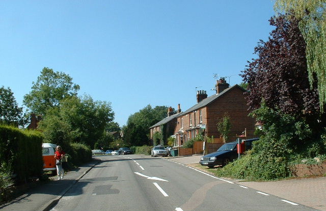
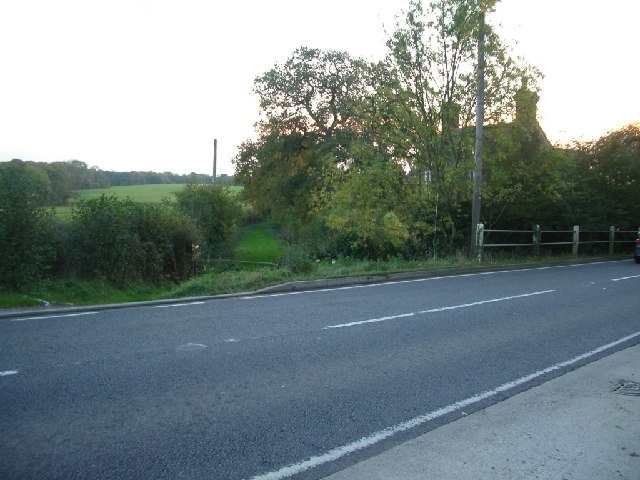
The hill is covered in lush green vegetation, predominantly consisting of grasses, shrubs, and scattered trees. It offers stunning panoramic views of the surrounding countryside, with its open fields, farmland, and occasional clusters of houses. On clear days, visitors to Hoyle Hill can enjoy breathtaking vistas stretching as far as the eye can see.
Hoyle Hill is a popular destination for outdoor enthusiasts and nature lovers. Its tranquil surroundings and picturesque scenery make it an ideal spot for leisurely walks, picnics, and photography. The hill is easily accessible by foot, with several footpaths and trails leading to the summit.
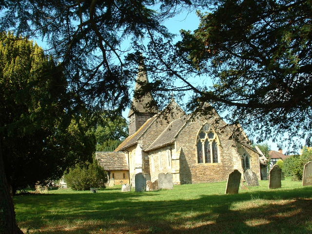
The area surrounding Hoyle Hill is rich in history and heritage. It is believed that the hill was once used as a vantage point during ancient times, providing strategic views of the surrounding lands. Today, remnants of ancient settlements and burial sites can still be found in the vicinity, adding to the hill's historical significance.
Overall, Hoyle Hill is a peaceful and scenic location in Surrey, attracting visitors who seek to escape the hustle and bustle of urban life and immerse themselves in the tranquility of nature.
If you have any feedback on the listing, please let us know in the comments section below.
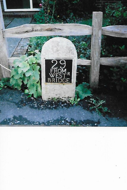
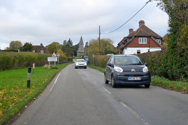
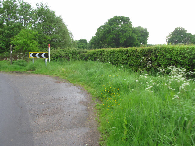
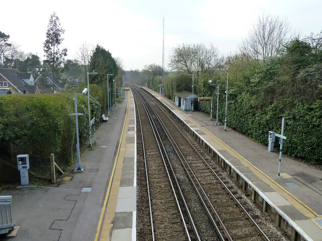
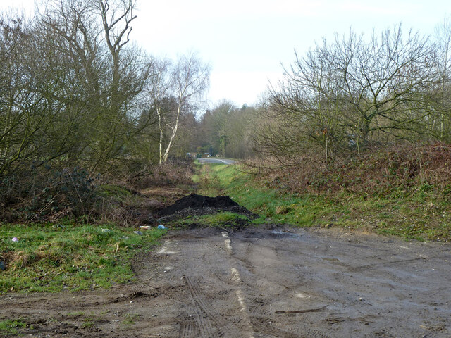
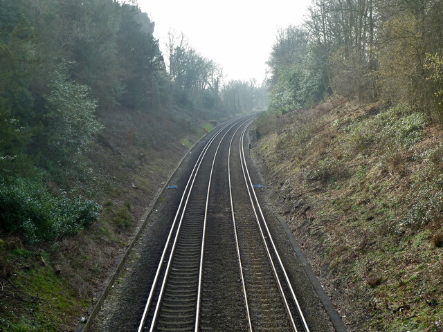
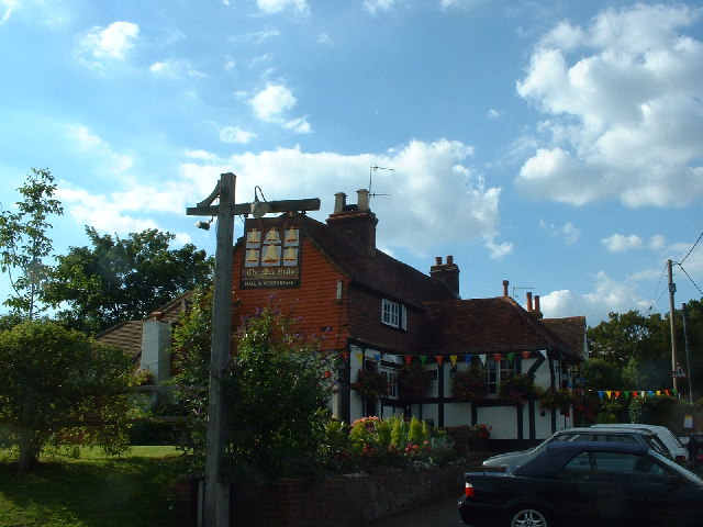
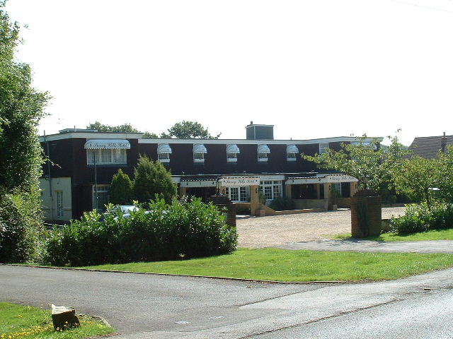
Hoyle Hill Images
Images are sourced within 2km of 51.164905/-0.31374853 or Grid Reference TQ1841. Thanks to Geograph Open Source API. All images are credited.


Hoyle Hill is located at Grid Ref: TQ1841 (Lat: 51.164905, Lng: -0.31374853)
Administrative County: Surrey
District: Mole Valley
Police Authority: Surrey
What 3 Words
///damp.jump.drift. Near Holmwood, Surrey
Nearby Locations
Related Wikis

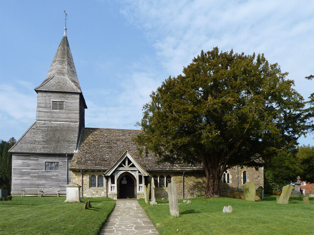
Capel, Surrey
Capel () is a village and civil parish in southern Surrey, England. It is equidistant between Dorking and Horsham – about 5 miles (8.0 km) away. Around...

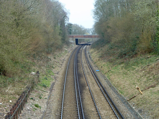
Holmwood railway station
Holmwood railway station serves the villages of Beare Green and South Holmwood in Surrey, England, on the Sutton and Mole Valley Lines between Dorking...

Ockley railway station
Ockley railway station serves the villages of Ockley and Capel in Surrey, England and is 1.4 miles (2.3 km) from Ockley village and 0.5 miles (0.80 km...

Newdigate Brickworks
Newdigate Brickworks is a 24-hectare (59-acre) nature reserve in Newdigate in Surrey. It is managed by the Surrey Wildlife Trust.The clay pits of this...

Newdigate
Newdigate is a village and civil parish in the Mole Valley borough of Surrey lying in a relatively flat part of the Weald to the east of the A24 road between...

Broome Hall
Broome Hall is a Grade II-listed country house with grounds including cottages and outhouses on the wooded, upper southern slopes of the Greensand Ridge...

Auclaye
Auclaye is a 0.6-hectare (1.5-acre) geological Site of Special Scientific Interest south of Capel in Surrey. It is a Geological Conservation Review site...

Clock House Brickworks
Clock House Brickworks is a 35.9-hectare (89-acre) geological Site of Special Scientific Interest south of Capel in Surrey. It is a Geological Conservation...
Nearby Amenities
Located within 500m of 51.164905,-0.31374853Have you been to Hoyle Hill?
Leave your review of Hoyle Hill below (or comments, questions and feedback).