Box Hill
Hill, Mountain in Surrey Mole Valley
England
Box Hill
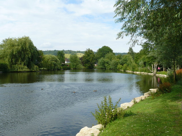
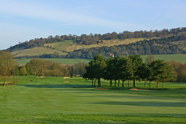
Box Hill is a prominent hill located in Surrey, England, about 20 miles southwest of central London. It is part of the North Downs, a range of chalk hills that extends across southeastern England. Box Hill stands at an elevation of 224 meters (735 feet) and offers breathtaking views of the surrounding countryside.
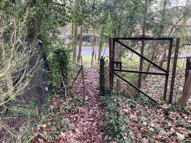
The hill is encompassed by the Box Hill Country Park, which is managed by the National Trust. This 400-hectare (990-acre) area is a popular destination for outdoor enthusiasts, offering a variety of activities and attractions. Visitors can explore numerous walking trails that wind through woodlands, meadows, and chalk downland, providing opportunities to observe diverse wildlife and enjoy the serene natural beauty.
One of the main attractions of Box Hill is the famous Zig Zag Road, a steep and winding road that ascends the hill. It is a favorite spot for cyclists and motorists seeking a challenging ride or drive. Additionally, the hill is renowned for its association with the Olympic Games, as it served as a key venue during the 2012 London Olympics cycling road race events.
Box Hill holds significant historical and cultural importance as well. It has been a popular destination for centuries, attracting writers, artists, and nature lovers alike. The iconic viewpoint at the summit, known as Salomon's Memorial, offers panoramic vistas of the River Mole valley and the South Downs. The hill's enchanting landscapes have inspired notable figures such as Jane Austen, who featured Box Hill in her novel "Emma."
With its captivating scenery, recreational opportunities, and rich heritage, Box Hill remains a cherished destination for both locals and tourists seeking a memorable experience in the heart of Surrey.
If you have any feedback on the listing, please let us know in the comments section below.
Box Hill Images
Images are sourced within 2km of 51.247448/-0.31114686 or Grid Reference TQ1751. Thanks to Geograph Open Source API. All images are credited.


Box Hill is located at Grid Ref: TQ1751 (Lat: 51.247448, Lng: -0.31114686)
Administrative County: Surrey
District: Mole Valley
Police Authority: Surrey
What 3 Words
///splice.pops.sparks. Near Dorking, Surrey
Nearby Locations
Related Wikis
Pipp Brook
The Pipp Brook is a left-bank tributary of the River Mole, Surrey, England. It rises at two main springs north of Leith Hill on the Greensand Ridge, then...
Box Hill, Surrey
Box Hill is a summit of the North Downs in Surrey, approximately 31 km (19 mi) south-west of London. The hill gets its name from the ancient box woodland...
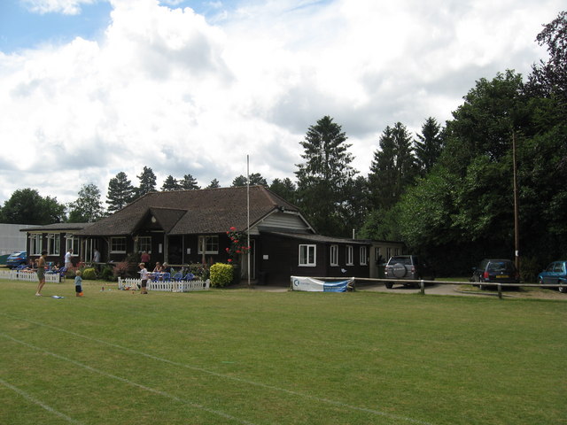
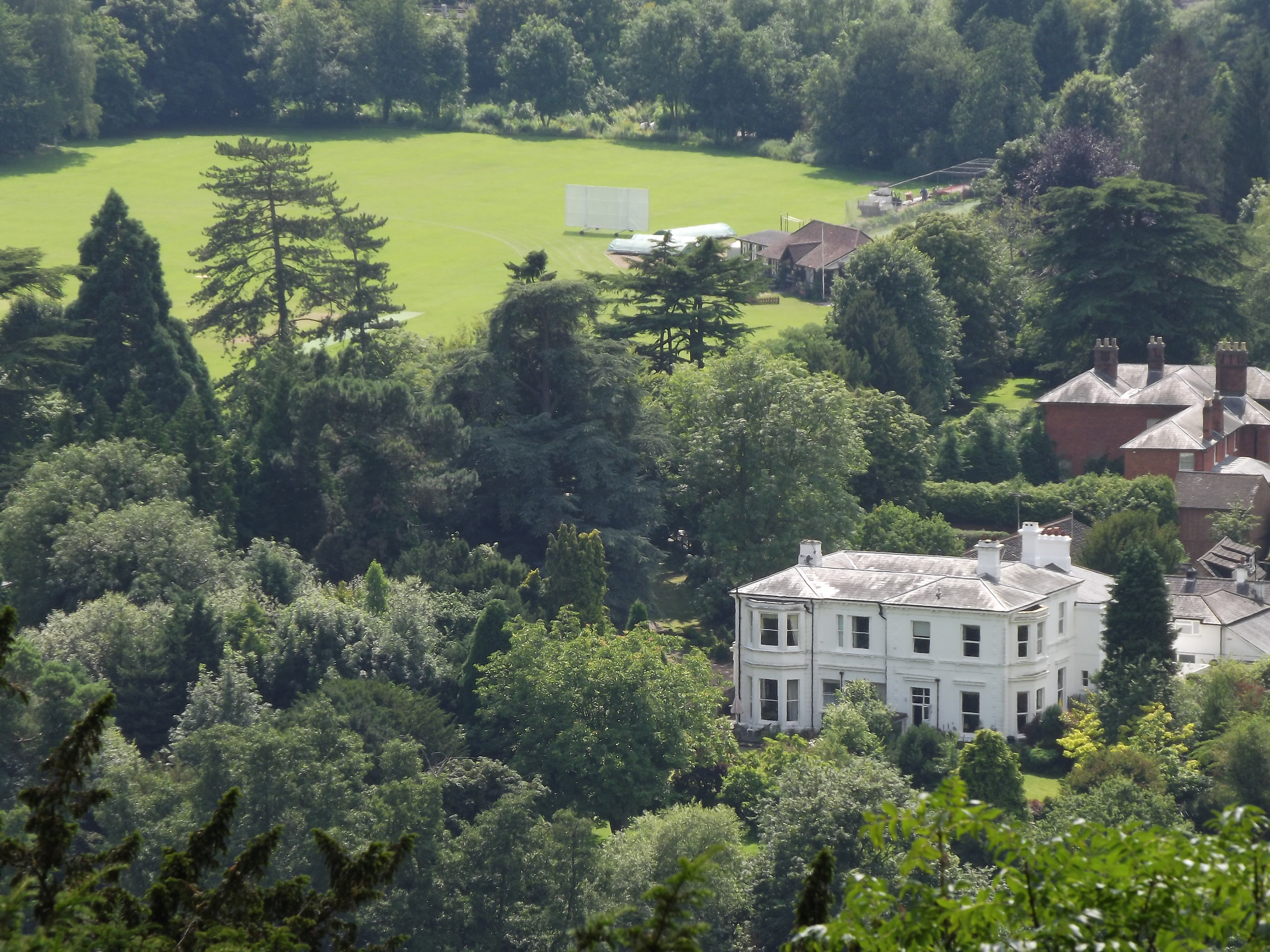
Dorking Cricket Club Ground
Dorking Cricket Club Ground is a cricket ground in Dorking, Surrey. The first recorded match on the ground was in 1993, when the ground hosted a single...
Pixham
Pixham is a chapelry (small village) within the parish of Dorking, Surrey on the near side of the confluence of the River Mole and the Pipp Brook to its...

Burford Bridge Hotel
Burford Bridge Hotel is a historic hotel at the edge of the village of Mickleham, Surrey, England. It is to the south of Leatherhead and north of Dorking...

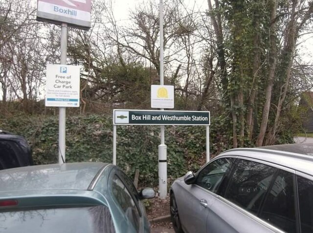
Dorking railway station
Dorking railway station is a railway station in Dorking, Surrey, England. Located on the Mole Valley line, it is 22 miles 8 chains (35.6 km) down the line...
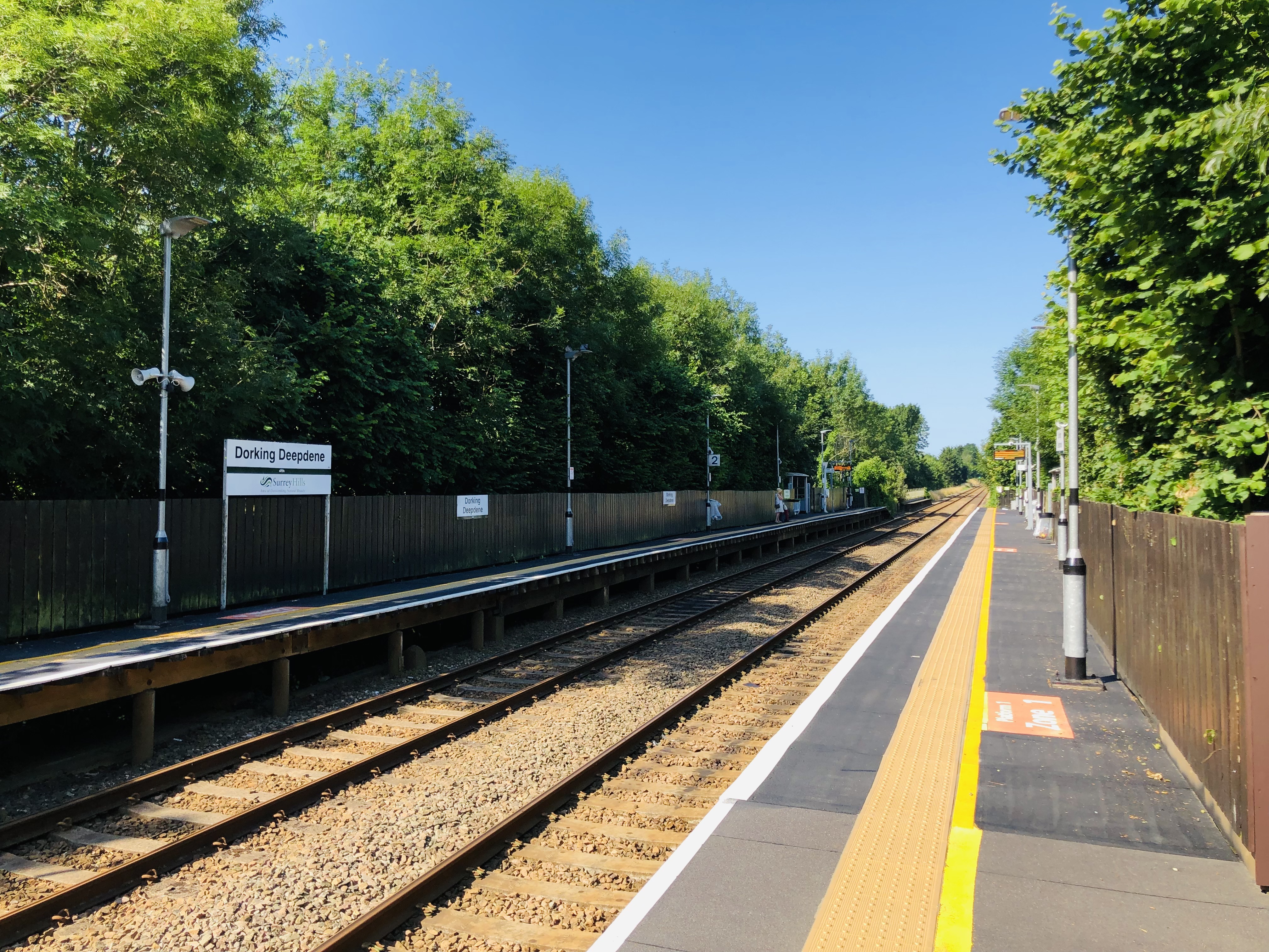
Dorking Deepdene railway station
Dorking Deepdene railway station is a railway station in the town of Dorking, Surrey, England. Located on the North Downs Line, it lies 29 miles 65 chains...

Denbies
Denbies is a large estate to the northwest of Dorking in Surrey, England. A farmhouse and surrounding land originally owned by John Denby was purchased...
Nearby Amenities
Located within 500m of 51.247448,-0.31114686Have you been to Box Hill?
Leave your review of Box Hill below (or comments, questions and feedback).