Allerton Mauleverer
Settlement in Yorkshire Harrogate
England
Allerton Mauleverer

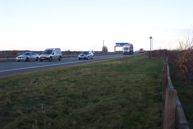
Allerton Mauleverer is a small village located in the Harrogate district of North Yorkshire, England. The village is situated approximately eight miles northeast of the city of Leeds and four miles southwest of the spa town of Knaresborough. With a population of around 100 residents, Allerton Mauleverer is a quiet and picturesque rural community.
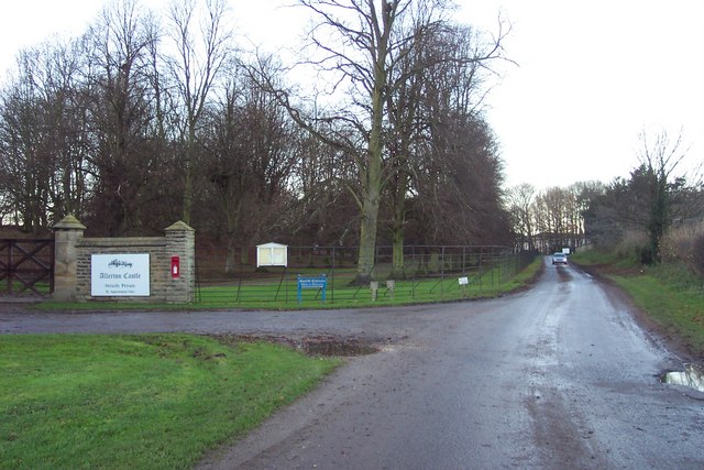
The village is known for its historic Allerton Mauleverer Park, which covers an area of over 200 acres. The park features stunning landscaped gardens, woodlands, and a large lake, providing a peaceful retreat for visitors. The park is also home to Allerton Castle, an impressive Gothic revival mansion built in the 19th century. The castle, with its grand architecture and beautiful interiors, offers guided tours and hosts special events and weddings.
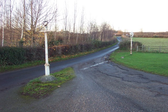
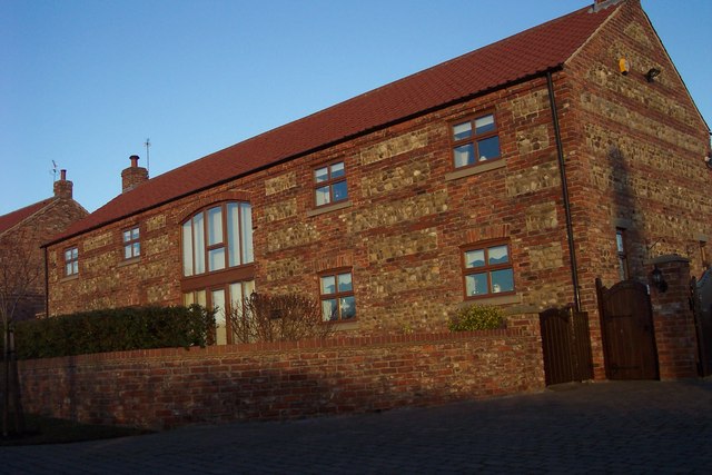
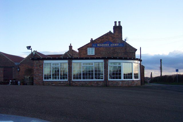
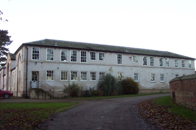
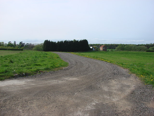
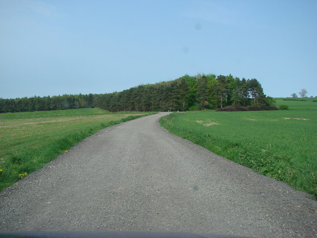
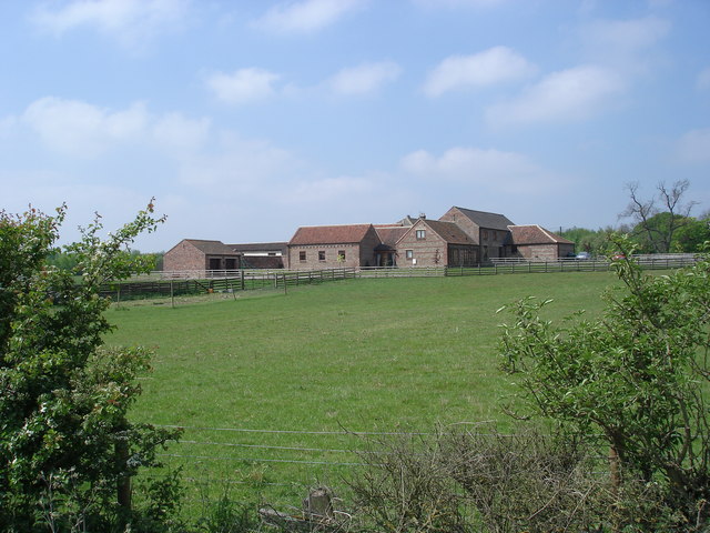
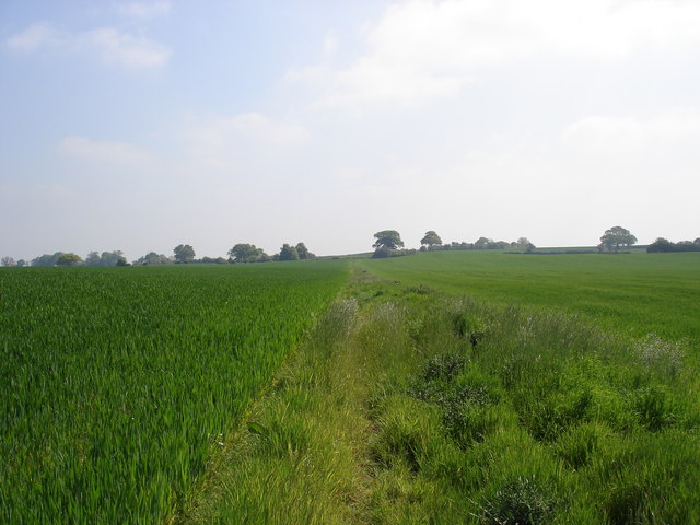
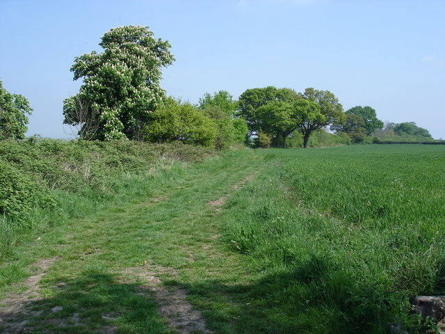
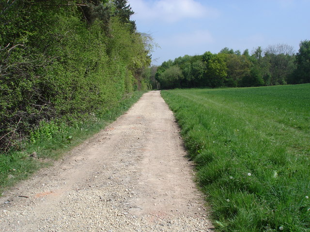
Allerton Mauleverer boasts a rich history, dating back to the Domesday Book of 1086. The village retains much of its old-world charm, with several well-preserved historic buildings, including traditional stone cottages and a charming village church. The surrounding countryside offers scenic walks and cycling routes, allowing visitors to explore the idyllic Yorkshire countryside.
Despite its small size, Allerton Mauleverer benefits from its proximity to nearby towns and cities. The village provides a peaceful rural lifestyle while being conveniently located for easy access to amenities and services in Leeds, Harrogate, and Knaresborough.
In summary, Allerton Mauleverer is a picturesque village with a rich history, stunning parkland, and proximity to larger towns and cities. It offers the perfect combination of tranquility and convenience for residents and visitors alike.
If you have any feedback on the listing, please let us know in the comments section below.
Allerton Mauleverer Images
Images are sourced within 2km of 54.014563/-1.367004 or Grid Reference SE4157. Thanks to Geograph Open Source API. All images are credited.
Allerton Mauleverer is located at Grid Ref: SE4157 (Lat: 54.014563, Lng: -1.367004)
Division: West Riding
Administrative County: North Yorkshire
District: Harrogate
Police Authority: North Yorkshire
What 3 Words
///paint.amber.prouder. Near Knaresborough, North Yorkshire
Related Wikis

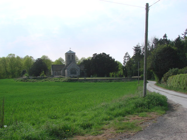
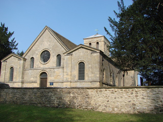
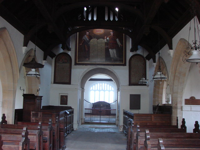
St Martin's Church, Allerton Mauleverer
St Martin's Church is a historic Anglican church in the village of Allerton Mauleverer, North Yorkshire, England. It is recorded in the National Heritage...
Allerton Mauleverer
Allerton Mauleverer is a village in North Yorkshire, England. It is part of the Allerton Mauleverer with Hopperton parish. The parish is in the district...

Allerton Castle
Allerton Castle, also known as Allerton Park, is a Grade I listed nineteenth-century Gothic or Victorian Gothic house at Allerton Mauleverer in North Yorkshire...
Allerton Mauleverer with Hopperton
Allerton Mauleverer with Hopperton is a civil parish in North Yorkshire, England. At the 2011 Census, the parish had a population of 150, an increase from...

Allerton Mauleverer Priory
Allerton Mauleverer Priory was a medieval monastic house in North Yorkshire, England. The site is in Allerton Mauleverer with Hopperton Parish in the Harrogate...

Claro Wapentake
Claro was a wapentake of the West Riding of Yorkshire, England. It was split into two divisions. The Upper Division included the parishes of Farnham...

Hopperton
Hopperton is a village in the Harrogate district of North Yorkshire, England. It is part of the Allerton Mauleverer with Hopperton parish. The village...

Hopperton railway station
Hopperton railway station served the village of Hopperton, North Yorkshire, England from 1848 to 1962 on the Harrogate line. == History == The station...
Related Videos
Whixley circular - 6 miles walk #yorkshire #england #walking #nature #simplicity #york
Hi I'm Holly Join me as I search for happiness in simplicity! Today we explored Whixley and some surrounding areas!

Whixley circular walk - 6 miles
Hi I'm Holly Join me as I search for happiness in simplicity! Today we explored Whixley and some surrounding areas!

Allerton Castle Virtual Viewing
Come and explore your dream wedding venue from the comfort of your own home. Congratulations on your engagement!

4k incredible cinematic wedding at a British Castle
GB Olympian, award winning venue @allertoncastle9051 award winning photographer @sansomphotography3431 suits by ...
Nearby Amenities
Located within 500m of 54.014563,-1.367004Have you been to Allerton Mauleverer?
Leave your review of Allerton Mauleverer below (or comments, questions and feedback).