Smithy Field
Downs, Moorland in Yorkshire Harrogate
England
Smithy Field

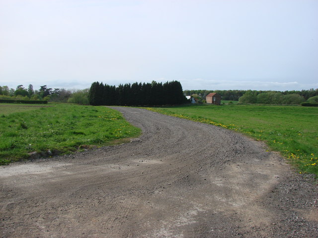
Smithy Field is a picturesque area located in Yorkshire, UK, encompassing both rolling downs and vast stretches of moorland. Situated in the heart of the Yorkshire Dales National Park, it offers an idyllic setting for nature enthusiasts and those seeking tranquility away from the hustle and bustle of city life.
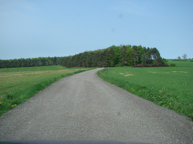
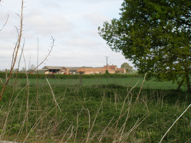
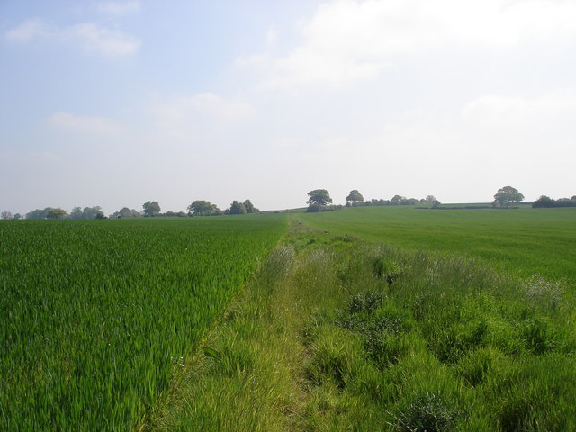
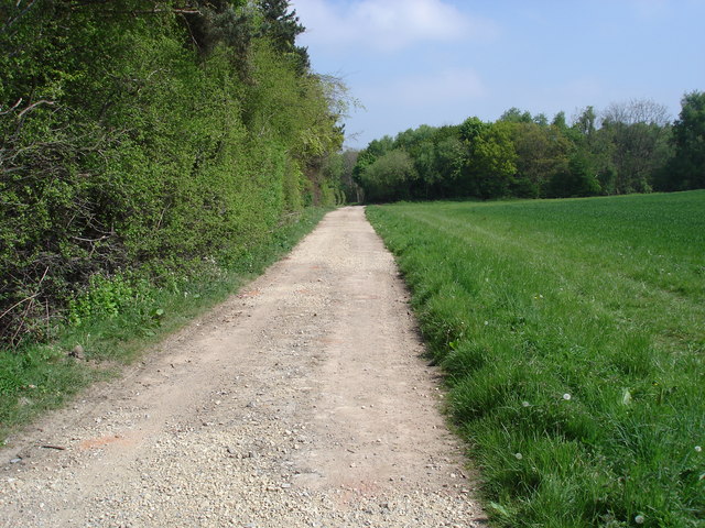
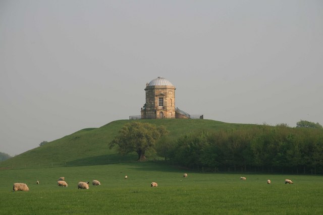
The downs of Smithy Field are characterized by their gently undulating hills, covered with lush green grass and dotted with sheep grazing peacefully. The landscape is adorned with dry stone walls, traditional farmhouses, and scattered clusters of trees, providing a quintessential countryside charm. The downs offer breathtaking panoramic views, allowing visitors to immerse themselves in the stunning beauty of the surrounding area.
In contrast, the moorland of Smithy Field is a wild and rugged expanse, characterized by heather-covered hills, peat bogs, and rocky outcrops. This untamed landscape is home to a diverse range of flora and fauna, including rare birds such as the red grouse and curlew. The moorland provides an ideal habitat for wildlife, and visitors can spot rabbits, foxes, and even the occasional deer during their explorations.
Smithy Field is a haven for outdoor activities, attracting hikers, cyclists, and nature lovers throughout the year. The area boasts a network of well-maintained footpaths and bridleways, allowing visitors to explore the Downs and Moorland at their own pace. Additionally, Smithy Field offers opportunities for birdwatching, photography, and picnicking, providing a perfect escape for families and individuals alike.
Overall, Smithy Field in Yorkshire is a captivating destination that showcases the natural beauty and diversity of the British countryside. Whether visitors choose to wander through the rolling downs or venture into the untamed moorland, they are sure to be enthralled by the stunning landscapes and the peaceful serenity that Smithy Field has to offer.
If you have any feedback on the listing, please let us know in the comments section below.
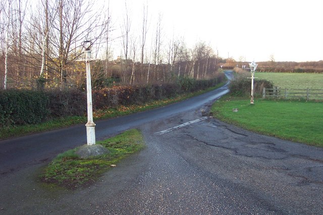
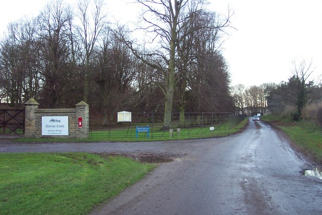
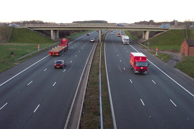
Smithy Field Images
Images are sourced within 2km of 54.012014/-1.367878 or Grid Reference SE4157. Thanks to Geograph Open Source API. All images are credited.


Smithy Field is located at Grid Ref: SE4157 (Lat: 54.012014, Lng: -1.367878)
Division: West Riding
Administrative County: North Yorkshire
District: Harrogate
Police Authority: North Yorkshire
What 3 Words
///clockwork.fires.months. Near Knaresborough, North Yorkshire
Related Wikis

Allerton Mauleverer with Hopperton
Allerton Mauleverer with Hopperton is a civil parish in North Yorkshire, England. At the 2011 Census, the parish had a population of 150, an increase from...
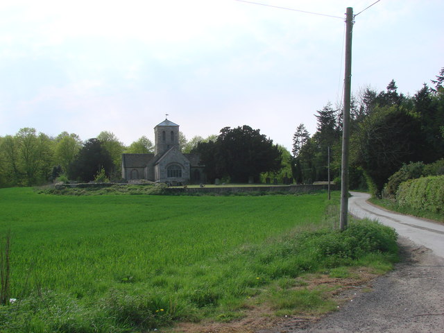
St Martin's Church, Allerton Mauleverer
St Martin's Church is a historic Anglican church in the village of Allerton Mauleverer, North Yorkshire, England. It is recorded in the National Heritage...
Allerton Mauleverer
Allerton Mauleverer is a village in North Yorkshire, England. It is part of the Allerton Mauleverer with Hopperton parish. The parish is in the district...

Allerton Castle
Allerton Castle, also known as Allerton Park, is a Grade I listed nineteenth-century Gothic or Victorian Gothic house at Allerton Mauleverer in North Yorkshire...

Hopperton
Hopperton is a village in the Harrogate district of North Yorkshire, England. It is part of the Allerton Mauleverer with Hopperton parish. The village...

Claro Wapentake
Claro was a wapentake of the West Riding of Yorkshire, England. It was split into two divisions. The Upper Division included the parishes of Farnham...

Allerton Mauleverer Priory
Allerton Mauleverer Priory was a medieval monastic house in North Yorkshire, England. The site is in Allerton Mauleverer with Hopperton Parish in the Harrogate...

Hopperton railway station
Hopperton railway station served the village of Hopperton, North Yorkshire, England from 1848 to 1962 on the Harrogate line. == History == The station...
Nearby Amenities
Located within 500m of 54.012014,-1.367878Have you been to Smithy Field?
Leave your review of Smithy Field below (or comments, questions and feedback).