Chapel Fields
Downs, Moorland in Yorkshire Harrogate
England
Chapel Fields
Chapel Fields is a picturesque area located in Yorkshire, England, known for its stunning natural landscapes and rich cultural heritage. Situated amidst the rolling Yorkshire Downs and vast Moorland, this region offers breathtaking views and a tranquil atmosphere.
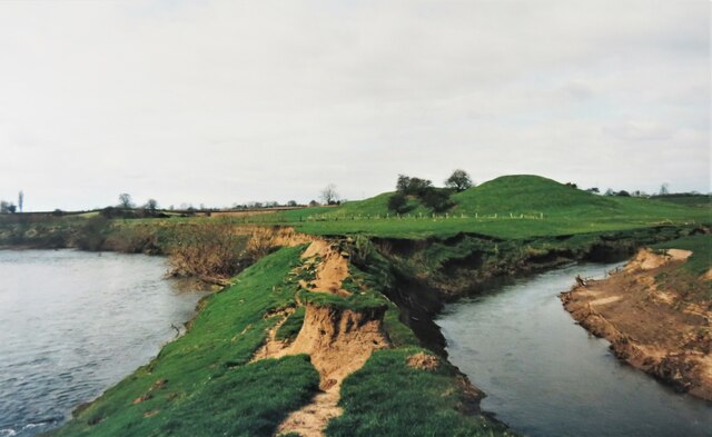
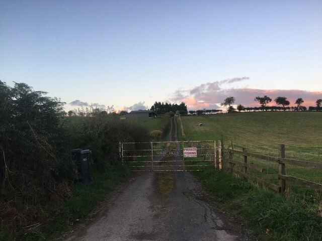
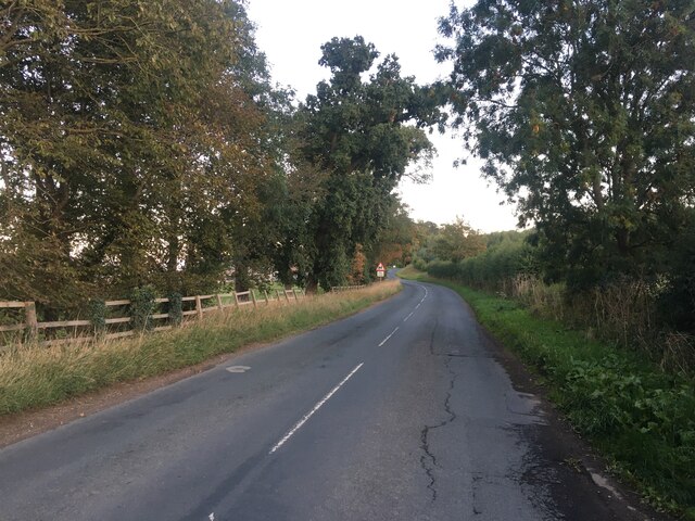
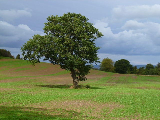
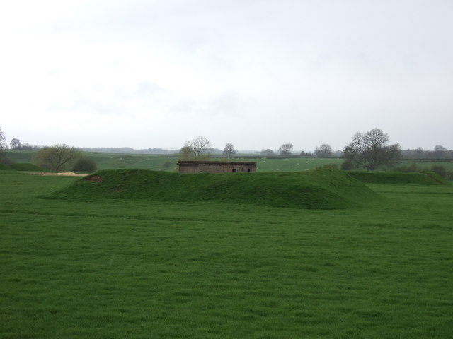
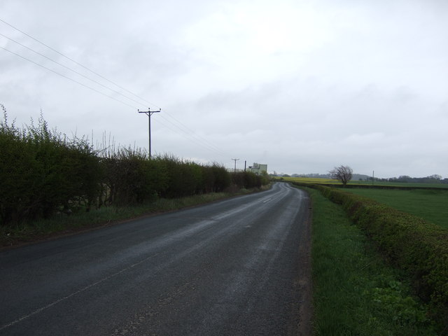
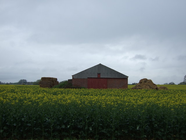
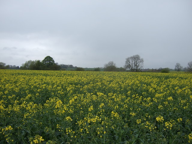
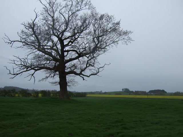
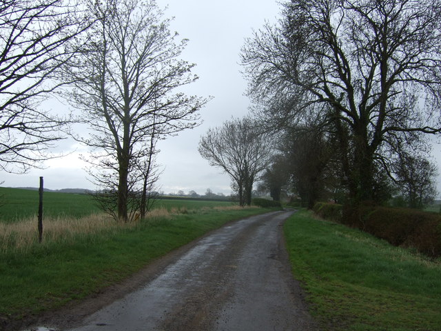
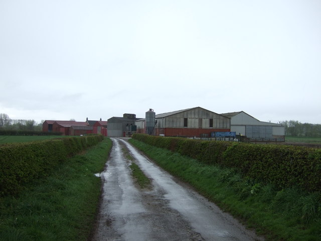
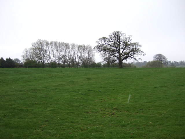
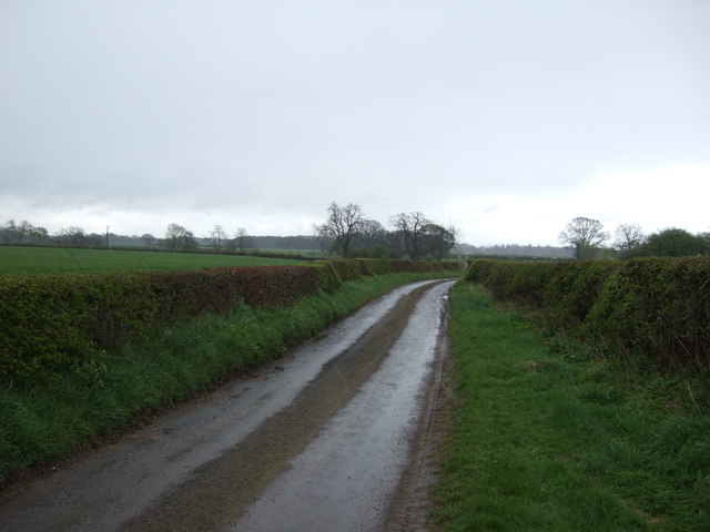
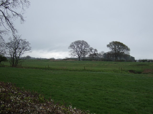
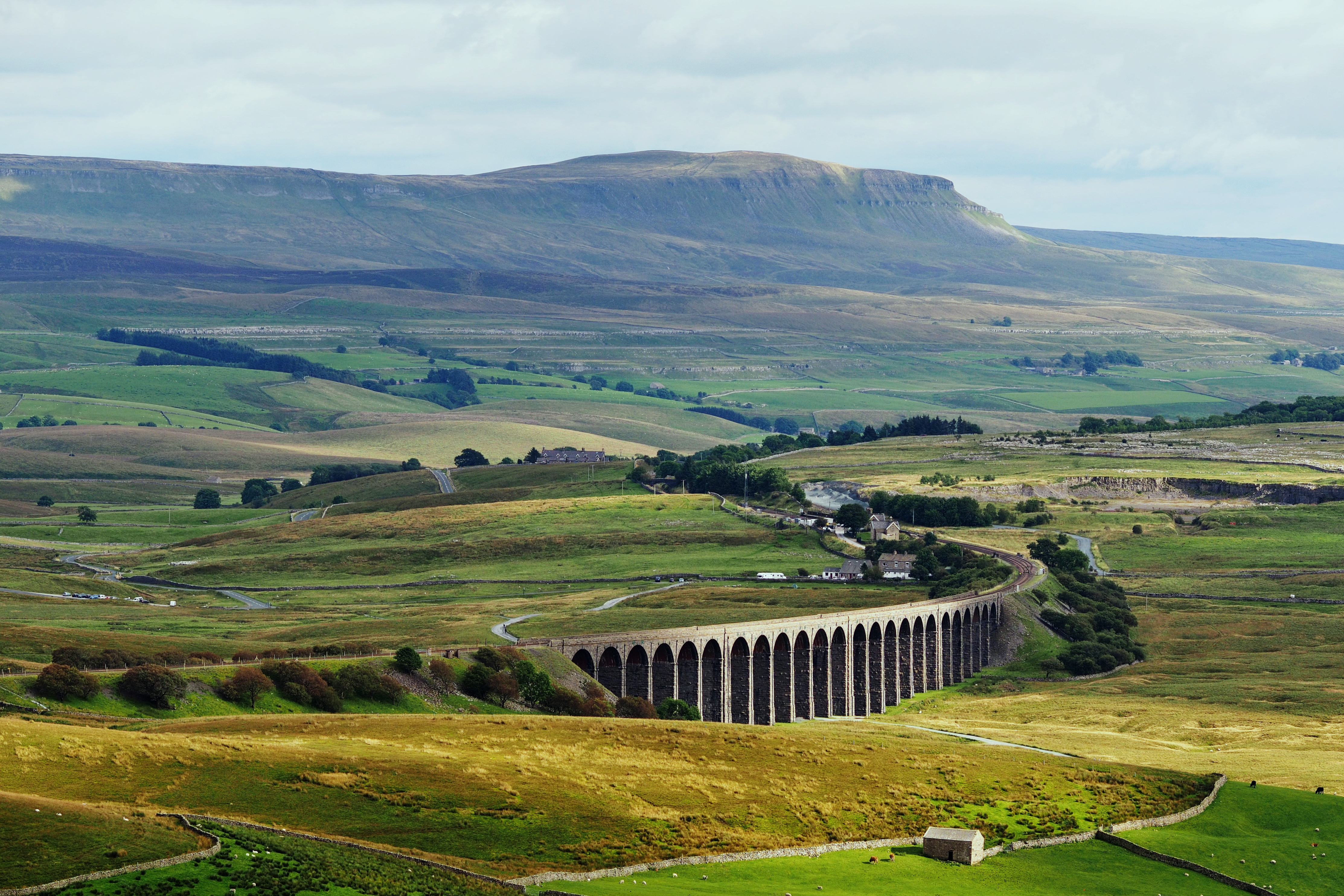
The area is characterized by its vast expanses of green fields, dotted with charming farmhouses and grazing sheep. The Yorkshire Downs, with their gentle slopes and lush vegetation, provide the perfect setting for outdoor activities such as hiking, cycling, and horseback riding. This idyllic countryside is complemented by the nearby Moorland, a unique ecosystem with its heather-covered hills and diverse wildlife.
Chapel Fields is steeped in history and boasts several notable landmarks. The centerpiece is the historic Chapel Fields Abbey, a magnificent medieval monastery that stands as a testament to the region's religious heritage. Visitors can explore the abbey ruins, marvel at the intricate stonework, and immerse themselves in the area's fascinating past.
The charming village of Chapel Fields offers a warm welcome to visitors, with its quaint cottages, traditional pubs, and local shops. The community prides itself on preserving its rural character and traditional way of life, making it an ideal destination for those seeking an authentic countryside experience.
Overall, Chapel Fields, Yorkshire (Downs, Moorland) is a haven for nature lovers and history enthusiasts alike. Its breathtaking landscapes, rich cultural heritage, and friendly community make it a truly special place to visit.
If you have any feedback on the listing, please let us know in the comments section below.
Chapel Fields Images
Images are sourced within 2km of 54.158557/-1.3658622 or Grid Reference SE4173. Thanks to Geograph Open Source API. All images are credited.


Chapel Fields is located at Grid Ref: SE4173 (Lat: 54.158557, Lng: -1.3658622)
Division: North Riding
Administrative County: North Yorkshire
District: Harrogate
Police Authority: North Yorkshire
What 3 Words
///voucher.processor.hides. Near Boroughbridge, North Yorkshire
Nearby Locations
Related Wikis

Topcliffe Castle
Topcliffe Castle (also known as Maiden's Bower) is an abandoned castle located near the village of Topcliffe, North Yorkshire, England.The castle was built...
Cod Beck, North Yorkshire
Cod Beck is a river in North Yorkshire, England. It has a catchment area of 209 km2 (81 sq mi). The river extends for 20 miles (32 km) from above Cod Beck...

Eldmire with Crakehill
Eldmire with Crakehill is a civil parish in the Hambleton district of North Yorkshire, England. The population of the parish was estimated at 30 in 2013...

Cundall, North Yorkshire
Cundall is a village in the Harrogate district of North Yorkshire, England. It is one of the Thankful Villages that suffered no fatalities during World...

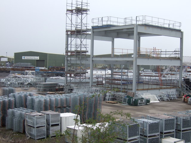
Severfield
With multiple sites in the UK, Europe and a joint venture in India, Severfield plc is the market-leading structural steelwork Group in the UK and among...
RAF Dalton
Royal Air Force Dalton or more simply RAF Dalton is a former Royal Air Force satellite station located near to Dalton, North Yorkshire, England. The airfield...
North Yorkshire
North Yorkshire is a ceremonial county in the Yorkshire and the Humber and North East regions of England. It borders County Durham to the north, the North...

Asenby
Asenby is a village and civil parish in the Harrogate district of North Yorkshire, England, with a population of 285 (2001 census), increasing to 311 at...
Nearby Amenities
Located within 500m of 54.158557,-1.3658622Have you been to Chapel Fields?
Leave your review of Chapel Fields below (or comments, questions and feedback).