Gelsholme Plantation
Wood, Forest in Yorkshire Harrogate
England
Gelsholme Plantation

Gelsholme Plantation is a picturesque woodland located in the county of Yorkshire, England. Situated in the heart of the North York Moors National Park, the plantation covers an expansive area of approximately 500 acres. It is known for its diverse range of trees, creating a vibrant and enchanting forest.
The woodland is predominantly composed of native tree species such as oak, beech, and birch, which contribute to the rich biodiversity of the area. The towering trees provide a dense canopy, casting dappled sunlight on the forest floor, and creating a serene and tranquil atmosphere.
Gelsholme Plantation is a popular destination for nature enthusiasts, hikers, and wildlife observers. Its well-maintained trails offer visitors the opportunity to explore the diverse ecosystem and discover the abundant flora and fauna. The plantation is home to a variety of woodland creatures, including deer, foxes, badgers, and a plethora of bird species, making it a haven for wildlife photographers and birdwatchers.
The woodland is also known for its historical significance, with remnants of ancient settlements and stone structures dating back to the Neolithic period. These archaeological features add an extra layer of interest and intrigue for history enthusiasts, providing a glimpse into the past.
Whether one seeks a peaceful escape, a chance to immerse themselves in nature, or an opportunity to delve into the region's history, Gelsholme Plantation offers a diverse and captivating experience for all who visit.
If you have any feedback on the listing, please let us know in the comments section below.
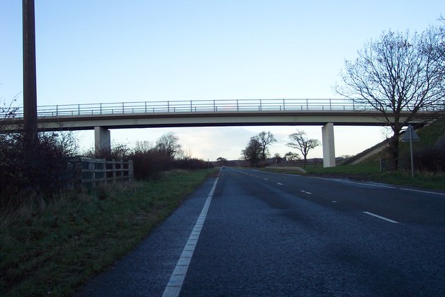
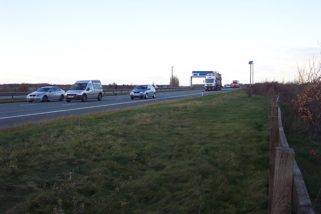
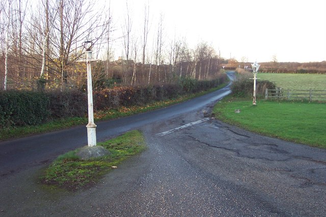
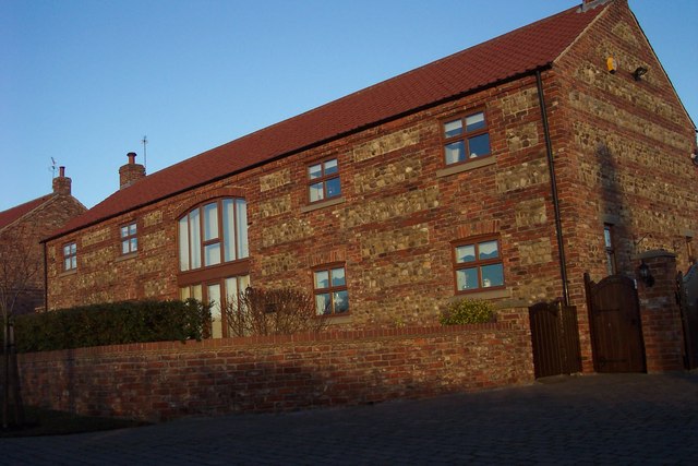
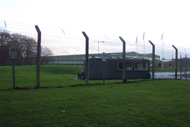
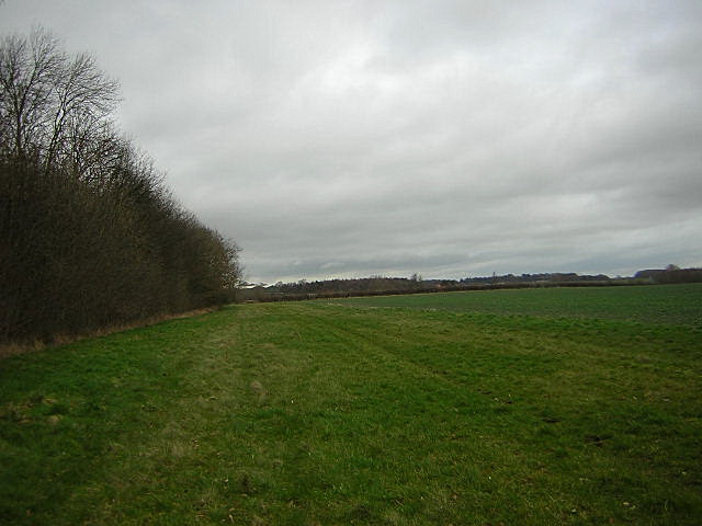
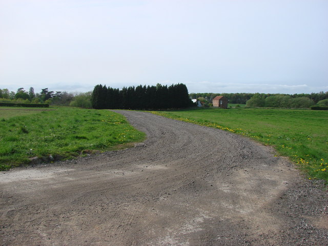
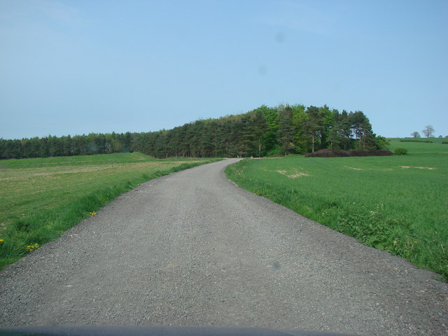
Gelsholme Plantation Images
Images are sourced within 2km of 54.007833/-1.3708557 or Grid Reference SE4157. Thanks to Geograph Open Source API. All images are credited.
Gelsholme Plantation is located at Grid Ref: SE4157 (Lat: 54.007833, Lng: -1.3708557)
Division: West Riding
Administrative County: North Yorkshire
District: Harrogate
Police Authority: North Yorkshire
What 3 Words
///inhaled.punctured.tenure. Near Knaresborough, North Yorkshire
Related Wikis

Allerton Mauleverer with Hopperton
Allerton Mauleverer with Hopperton is a civil parish in North Yorkshire, England. At the 2011 Census, the parish had a population of 150, an increase from...

Hopperton railway station
Hopperton railway station served the village of Hopperton, North Yorkshire, England from 1848 to 1962 on the Harrogate line. == History == The station...
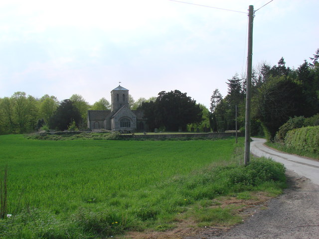
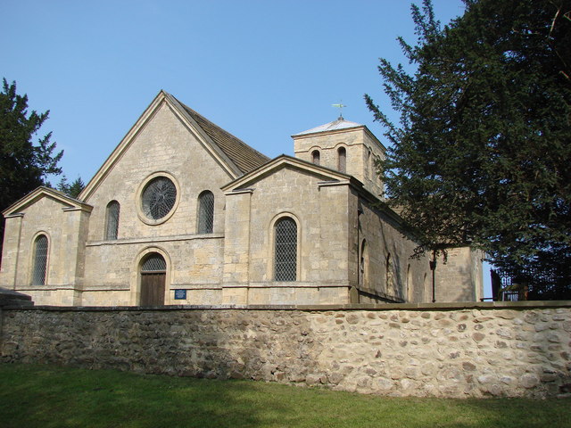
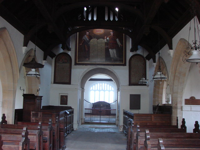
St Martin's Church, Allerton Mauleverer
St Martin's Church is a historic Anglican church in the village of Allerton Mauleverer, North Yorkshire, England. It is recorded in the National Heritage...
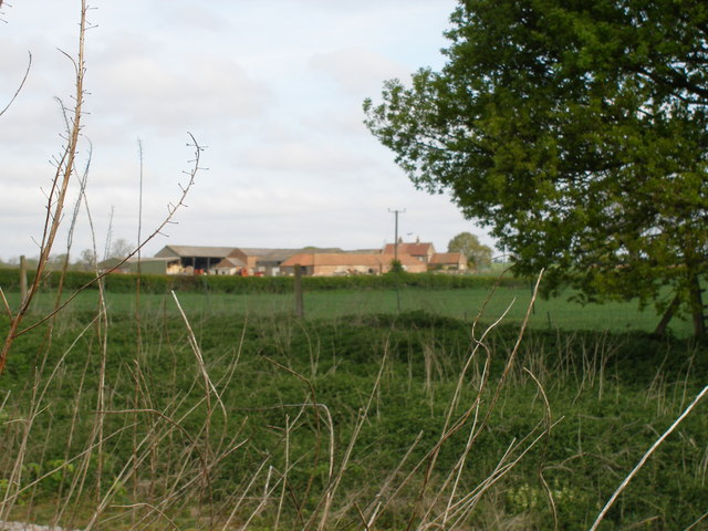
Allerton Mauleverer
Allerton Mauleverer is a village in North Yorkshire, England. It is part of the Allerton Mauleverer with Hopperton parish. The parish is in the district...

Hopperton
Hopperton is a village in the Harrogate district of North Yorkshire, England. It is part of the Allerton Mauleverer with Hopperton parish. The village...

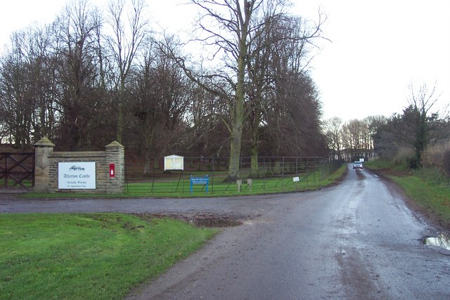
Allerton Castle
Allerton Castle, also known as Allerton Park, is a Grade I listed nineteenth-century Gothic or Victorian Gothic house at Allerton Mauleverer in North Yorkshire...

Claro Wapentake
Claro was a wapentake of the West Riding of Yorkshire, England. It was split into two divisions. The Upper Division included the parishes of Farnham...

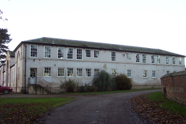
Allerton Mauleverer Priory
Allerton Mauleverer Priory was a medieval monastic house in North Yorkshire, England. The site is in Allerton Mauleverer with Hopperton Parish in the Harrogate...
Nearby Amenities
Located within 500m of 54.007833,-1.3708557Have you been to Gelsholme Plantation?
Leave your review of Gelsholme Plantation below (or comments, questions and feedback).