Coronation Plantation
Wood, Forest in Yorkshire Harrogate
England
Coronation Plantation

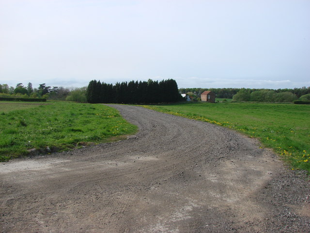
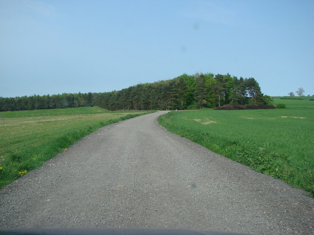
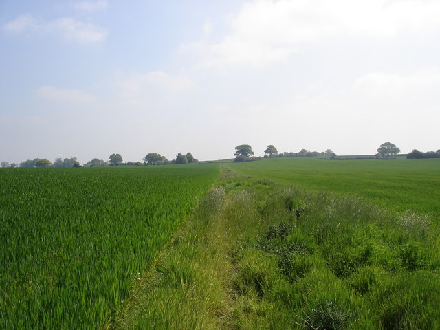
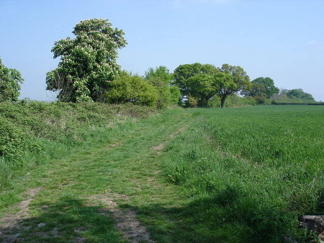
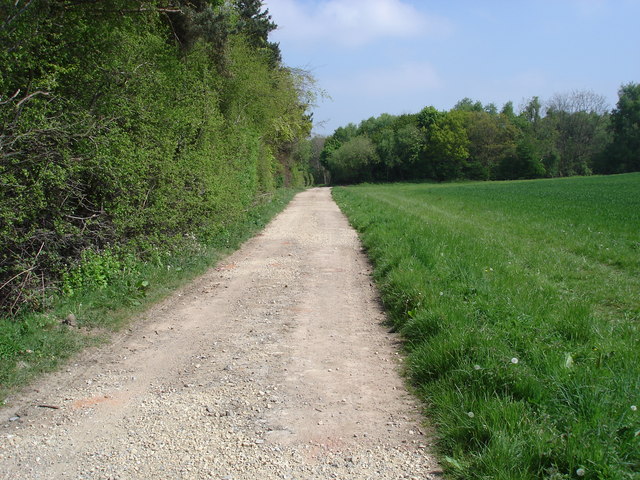
Coronation Plantation, located in Yorkshire, is a picturesque woodland area known for its lush forests and scenic beauty. Spread over a vast expanse, the plantation is a popular destination for nature enthusiasts, hikers, and those seeking tranquility away from the bustling city life.
The plantation is primarily composed of different species of trees, including oak, beech, and pine, creating a diverse and vibrant ecosystem. These trees provide a habitat for various wildlife, such as deer, squirrels, and a wide range of bird species, making the plantation a haven for wildlife enthusiasts and birdwatchers.
Visitors to Coronation Plantation can explore the numerous walking trails that wind through the forest, allowing them to immerse themselves in the natural surroundings. The well-maintained paths offer stunning views of the woodland, with sunlight filtering through the canopy and casting dappled shadows on the forest floor.
The plantation also features several picnic areas, where visitors can relax and enjoy a meal amidst the serene ambiance. Many families and groups choose to spend a day at Coronation Plantation, indulging in outdoor activities, such as nature walks, cycling, and even horse riding.
In addition to its natural beauty, Coronation Plantation holds historical significance. It was first established during the coronation year of King George VI, hence its name. The plantation has since been maintained and preserved, allowing visitors to experience the same enchanting landscape that has captivated generations.
Overall, Coronation Plantation in Yorkshire offers a peaceful and enchanting escape into nature, providing visitors with a chance to reconnect with the natural world and enjoy the beauty of a well-preserved woodland.
If you have any feedback on the listing, please let us know in the comments section below.
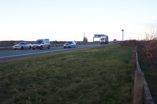
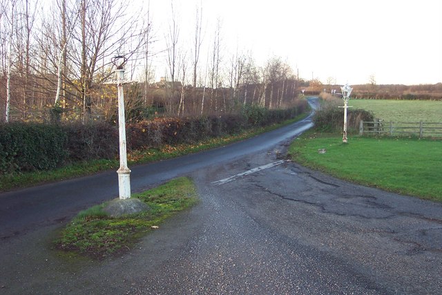
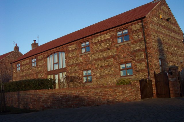
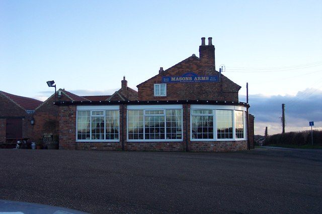
Coronation Plantation Images
Images are sourced within 2km of 54.012677/-1.3673491 or Grid Reference SE4157. Thanks to Geograph Open Source API. All images are credited.
Coronation Plantation is located at Grid Ref: SE4157 (Lat: 54.012677, Lng: -1.3673491)
Division: West Riding
Administrative County: North Yorkshire
District: Harrogate
Police Authority: North Yorkshire
What 3 Words
///perch.interlude.developer. Near Knaresborough, North Yorkshire
Related Wikis

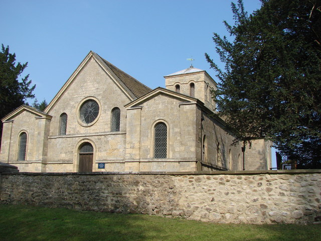
St Martin's Church, Allerton Mauleverer
St Martin's Church is a historic Anglican church in the village of Allerton Mauleverer, North Yorkshire, England. It is recorded in the National Heritage...
Allerton Mauleverer with Hopperton
Allerton Mauleverer with Hopperton is a civil parish in North Yorkshire, England. At the 2011 Census, the parish had a population of 150, an increase from...
Allerton Mauleverer
Allerton Mauleverer is a village in North Yorkshire, England. It is part of the Allerton Mauleverer with Hopperton parish. The parish is in the district...

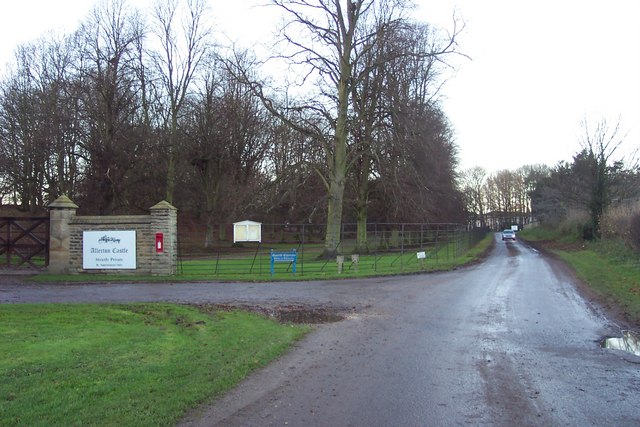
Allerton Castle
Allerton Castle, also known as Allerton Park, is a Grade I listed nineteenth-century Gothic or Victorian Gothic house at Allerton Mauleverer in North Yorkshire...

Claro Wapentake
Claro was a wapentake of the West Riding of Yorkshire, England. It was split into two divisions. The Upper Division included the parishes of Farnham...

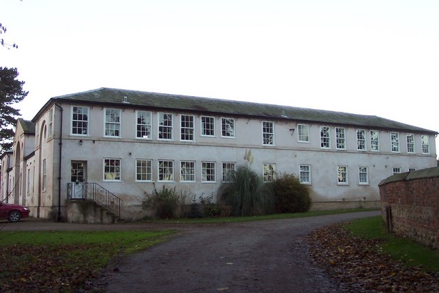
Allerton Mauleverer Priory
Allerton Mauleverer Priory was a medieval monastic house in North Yorkshire, England. The site is in Allerton Mauleverer with Hopperton Parish in the Harrogate...

Hopperton
Hopperton is a village in the Harrogate district of North Yorkshire, England. It is part of the Allerton Mauleverer with Hopperton parish. The village...

Hopperton railway station
Hopperton railway station served the village of Hopperton, North Yorkshire, England from 1848 to 1962 on the Harrogate line. == History == The station...
Nearby Amenities
Located within 500m of 54.012677,-1.3673491Have you been to Coronation Plantation?
Leave your review of Coronation Plantation below (or comments, questions and feedback).