Allerton Mauleverer with Hopperton

Civil Parish in Yorkshire Harrogate

England

Allerton Mauleverer with Hopperton

The Temple, Allerton Park Taken from the A168
The Temple, Allerton Park Credit: Alison Stamp

Allerton Mauleverer with Hopperton is a civil parish located in the county of Yorkshire, England. It is situated approximately 9 miles west of the city of York. The parish is comprised of two villages, Allerton Mauleverer and Hopperton, and covers an area of about 8 square miles.

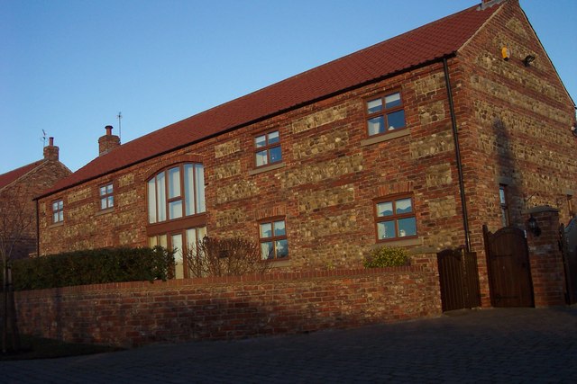
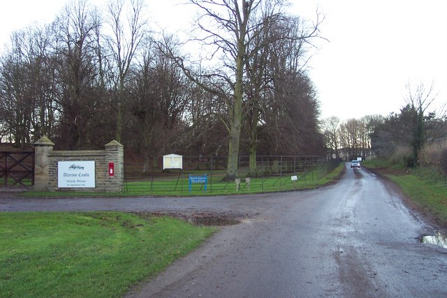
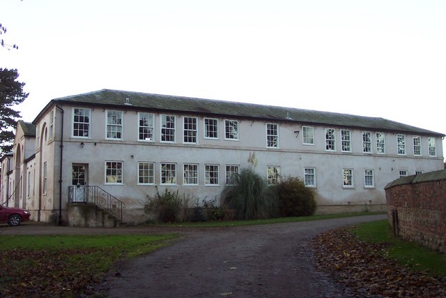
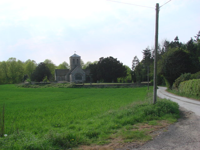
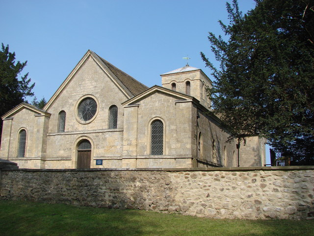
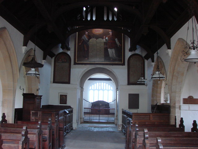
Allerton Mauleverer is a small village with a population of around 200 people. It is known for its picturesque surroundings, including Allerton Park, a Grade I listed 18th-century mansion set in a beautiful landscaped park. The mansion, now privately owned, was once the ancestral home of the Mauleverer family. The village also features a 14th-century church, St. Martin's Church, which is a significant historical landmark.

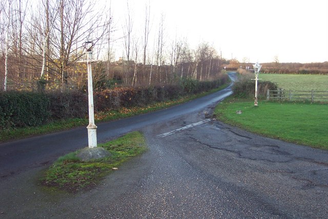
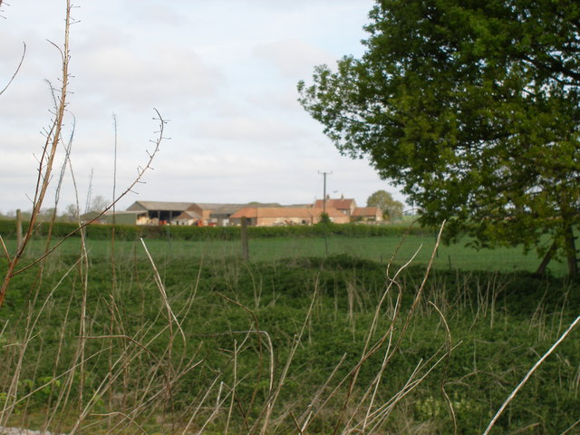
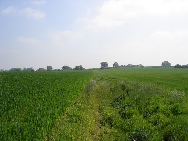
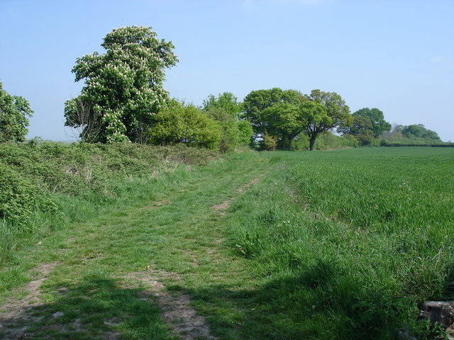
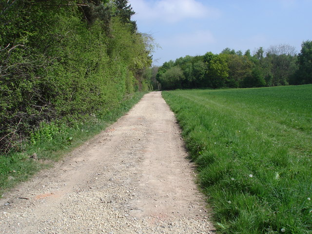
Hopperton, on the other hand, is a smaller settlement with a population of around 50 people. It is located to the east of Allerton Mauleverer and is primarily an agricultural area. The village is known for its tranquil atmosphere, surrounded by open fields and farmland.

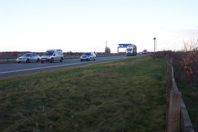
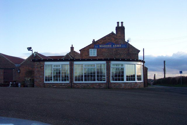
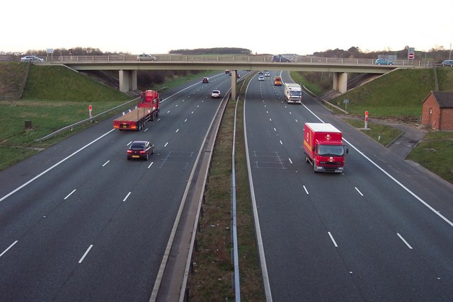
The civil parish of Allerton Mauleverer with Hopperton offers a peaceful rural lifestyle, with a strong sense of community. The residents benefit from the proximity to the city of York, which provides access to various amenities and services. The area is well-connected by road, with the A59 running through the parish, offering easy access to nearby towns and cities. Overall, Allerton Mauleverer with Hopperton is a charming and idyllic rural parish with a rich historical heritage.

If you have any feedback on the listing, please let us know in the comments section below.

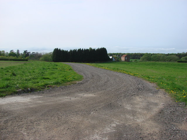
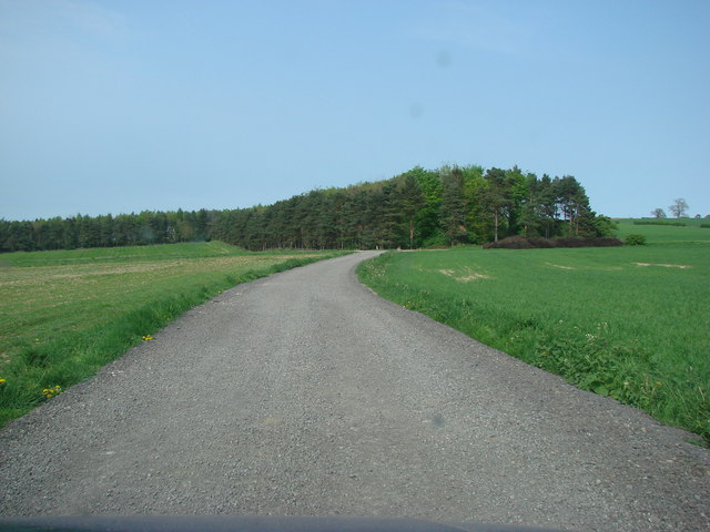
Allerton Mauleverer with Hopperton Images

Images are sourced within 2km of 54.013222/-1.364934 or Grid Reference SE4157. Thanks to Geograph Open Source API. All images are credited.

The Temple, Allerton Park Taken from the A168
The Temple, Allerton Park
Taken from the A168
Speeding south The new A1(M). The sign in the distance is the A59 turn for Knaresborough.
Speeding south
The new A1(M). The sign in the distance is the A59 turn for Knaresborough.
Lamp posts by the entrance to The Masons Arms at Hopperton Looking north towards the junction with the A59
Lamp posts by the entrance to The Masons Arms at Hopperton
Looking north towards the junction with the A59
New-build barn style houses
The Masons Arms
The Masons Arms
Approaching Allerton Mauleverer
Educational block at Allerton Park Corporate functions a speciality
Educational block at Allerton Park
Corporate functions a speciality
Junction 47, A1(M) Looking north
Junction 47, A1(M)
Looking north
RR Donnelley Printing Works At Flaxby Moor. Ironically next door is a Paint Ball and Quad Bike Centre.
RR Donnelley Printing Works
At Flaxby Moor. Ironically next door is a Paint Ball and Quad Bike Centre.
The track to Gate Hill
Track from Allerton Mauleverer looking at the copse on Cherry Hill.
Allerton Mauleverer, St Martin's  Church <a href="https://www.geograph.org.uk/gridref/SE415579">SE415579</a>
Allerton Mauleverer, St Martin's Church
Gelsthorpe Farm from Whixley Lane level crossing
St Martin's Church, Allerton Mauleverer. This Church is now disused and cared for by the Church Conservation Trust.
St Martin's Church, Allerton Mauleverer.
This Church is now disused and cared for by the Church Conservation Trust.
The interior of St Martin's Church, Allerton Mauleverer.
Bridleway south of Broadfield Wood This overgrown, and rather uneven, bridleway bisects two fields of crops.
Bridleway south of Broadfield Wood
This overgrown, and rather uneven, bridleway bisects two fields of crops.
Ox Close Lane Leading off north-eastwards, Ox Close Lane eventually meets the B6265, an old Roman road, south of Little Ouseburn.
Ox Close Lane
Leading off north-eastwards, Ox Close Lane eventually meets the B6265, an old Roman road, south of Little Ouseburn.
South of Broadfield Wood This track carries the PF between the narrow plantation to the left and Broadfield Wood.
South of Broadfield Wood
This track carries the PF between the narrow plantation to the left and Broadfield Wood.
Show me another place!

Allerton Mauleverer with Hopperton is located at Grid Ref: SE4157 (Lat: 54.013222, Lng: -1.364934)

Division: West Riding

Administrative County: North Yorkshire

District: Harrogate

Police Authority: North Yorkshire

What 3 Words

///oddly.thousands.impact. Near Knaresborough, North Yorkshire

Related Wikis

Nearby Amenities

Located within 500m of 54.013222,-1.364934
Parking
Parking: layby
Lat/Long: 54.0097203/-1.3669452
Allerton Mauleverer
Place: hamlet
Source: NLS-OS-1st_Series
Wikidata: Q4732149
Lat/Long: 54.0153742/-1.3646367
Post Box
Post Box Type: wall
Ref: HG5 132
Royal Cypher: GVIR
Royal Cypher Wikidata: Q33102169
Lat/Long: 54.0146627/-1.367012
Turning Circle
Lat/Long: 54.0146295/-1.3676643
Give Way
Direction: backward
Lat/Long: 54.0095846/-1.3608429
Passing Place
Lat/Long: 54.0101331/-1.3610214
Passing Place
Lat/Long: 54.0109434/-1.3616839
Passing Place
Lat/Long: 54.012833/-1.3636701
The data included in this document is from www.openstreetmap.org. The data is made available under ODbL.

Have you been to Allerton Mauleverer with Hopperton?

Leave your review of Allerton Mauleverer with Hopperton below (or comments, questions and feedback).