Allerton Bywater

Civil Parish in Yorkshire Leeds

England

Allerton Bywater

Kippax Welfare Club rugby ground
Kippax Welfare Club rugby ground Credit: Paul Johnston-Knight

Allerton Bywater is a civil parish located in the metropolitan borough of Leeds, in the county of Yorkshire, England. Situated approximately 10 miles east of Leeds city center, it is a small village with a population of around 5,500 residents.

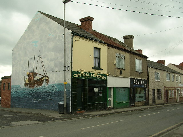
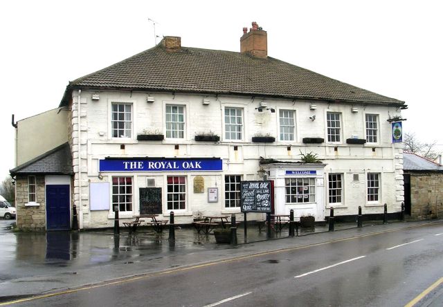
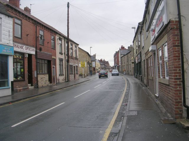
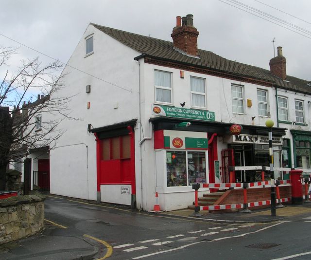
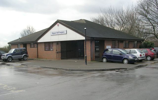
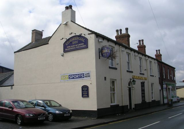
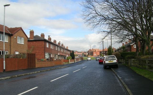
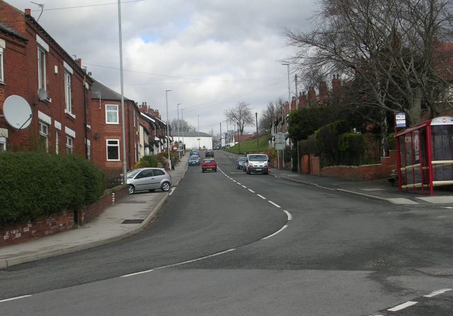
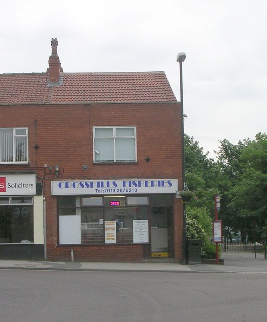
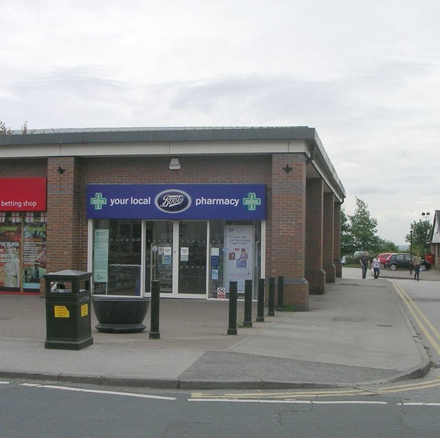
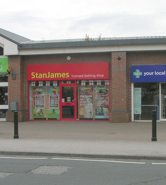
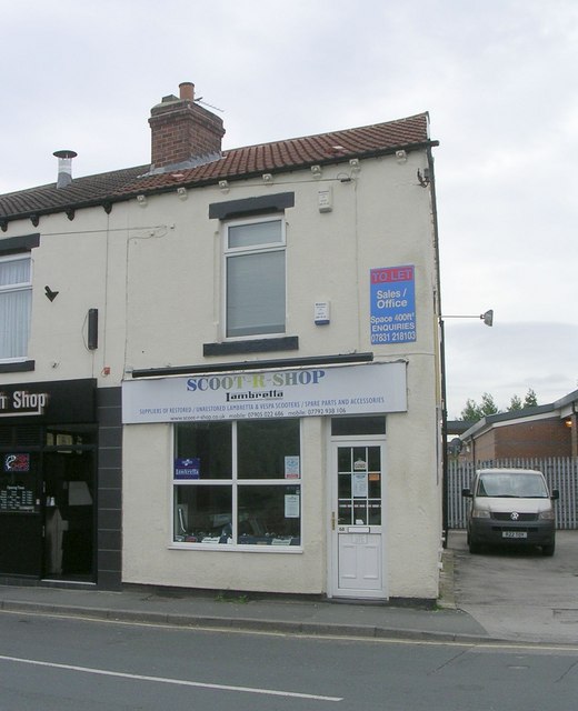
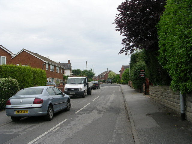
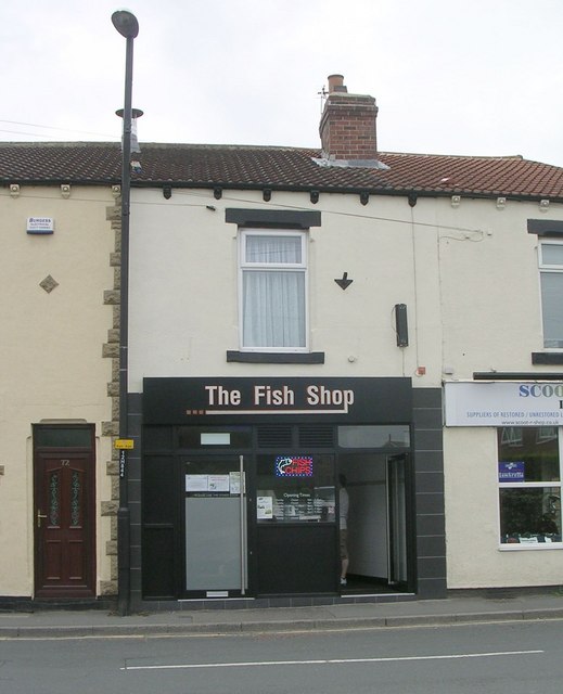
The village is primarily residential, with a mix of both modern and traditional housing. It has a close-knit community feel, with a range of amenities and services for its residents. These include a primary school, a community center, a library, and a small selection of local shops and pubs.

Allerton Bywater benefits from its proximity to several major transport links. The A1(M) motorway runs nearby, providing easy access to the wider region. The village also has its own railway station, connecting it to Leeds, Knottingley, and other nearby towns.

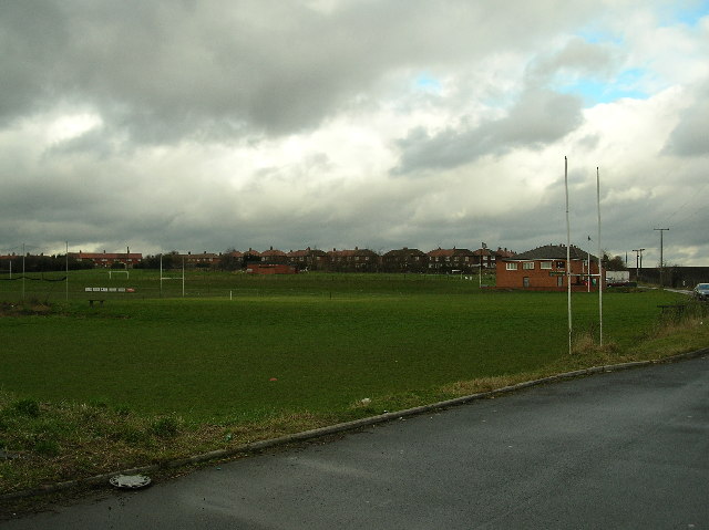
The surrounding area offers a range of outdoor activities for residents and visitors. The nearby Fairburn Ings Nature Reserve provides opportunities for birdwatching and walking, while the River Aire offers fishing and boating opportunities. The village also has several parks and green spaces, providing recreational areas for residents.

Overall, Allerton Bywater is a peaceful and welcoming village with a strong sense of community. Its convenient location, range of amenities, and access to nature make it an attractive place to live for those seeking a quieter, suburban lifestyle within easy reach of larger urban centers.

If you have any feedback on the listing, please let us know in the comments section below.

Allerton Bywater Images

Images are sourced within 2km of 53.748642/-1.369204 or Grid Reference SE4128. Thanks to Geograph Open Source API. All images are credited.

Kippax Welfare Club rugby ground
Mural, Main Street, Kippax On the side of Central Fisheries, and near Kevins Hair Design (for men and women), on the town's main street.
Mural, Main Street, Kippax
On the side of Central Fisheries, and near Kevins Hair Design (for men and women), on the town's main street.
The Royal Oak - Cross Hills, Kippax
Kippax Youth & Adult Centre - Cross Hills, Kippax
Kippax High Street
Kippax High Street
Kippax Post Office - High Street
Kippax Hall Surgery - off High Street
Commercial Inn - High Street
Park Avenue - Longdike Lane, Kippax
Butt Hill - Kippax
Butt Hill - Kippax
Crosshills Fisheries - High Street
Boots pharmacy - High Street
Stan James Betting Shop - High Street
Scoot R Shop - High Street
Ashtree Grove - High Street
The Fish Shop - High Street
Wm. Dodgson & Son Funeral Directors -  High Street
Wm. Dodgson & Son Funeral Directors - High Street
Dragon Tattoo Studio - High Street
Show me another place!

Allerton Bywater is located at Grid Ref: SE4128 (Lat: 53.748642, Lng: -1.369204)

Division: West Riding

Administrative County: West Yorkshire

District: Leeds

Police Authority: West Yorkshire

What 3 Words

///oils.tubes.park. Near Ledston, West Yorkshire

Related Wikis

Allerton Bywater colliery explosion

The Allerton Bywater colliery explosion was a mining accident at the Allerton Bywater Colliery in Allerton Bywater, England, which occurred on Monday 10...

Bowers railway station

Bowers railway station was a station opened in 1934 by the London and North Eastern Railway (LNER) on the Castleford–Garforth line, in the West Riding...

Ledston railway station

Ledston railway station was a railway station on the now disused Castleford–Garforth line in West Yorkshire, England. The station opened in 1878 and was...

Allerton Bywater

Allerton Bywater is a semi-rural village and civil parish in the south-east of the City of Leeds metropolitan borough in West Yorkshire, England. The population...

Nearby Amenities

Located within 500m of 53.748642,-1.369204
Barrier: cycle_barrier
Lat/Long: 53.7473513/-1.3656494
Mini Roundabout
Direction: clockwise
Lat/Long: 53.7462773/-1.3695522
Traffic Calming: table
Lat/Long: 53.7485815/-1.3756318
Turning Circle
Lat/Long: 53.7495778/-1.3759763
Turning Circle
Lat/Long: 53.7502508/-1.3749677
Traffic Calming: table
Lat/Long: 53.748529/-1.3755445
Place Of Worship
Methodist Chapel
Denomination: methodist
Religion: christian
Lat/Long: 53.7458151/-1.3691528
Turning Circle
Turning Circle: hammer
Lat/Long: 53.7448238/-1.3678599
Bus Stop
Allerton Bywater Church
Bus: yes
Local Ref: 45010126
Naptan AtcoCode: 450010126
Naptan Bearing: SE
Naptan CommonName: Allerton Bywater Church
Naptan Crossing: Vicars Terrace
Naptan Indicator: Stop 45010126
Naptan PlusbusZoneRef: LEEDS
Naptan ShortCommonName: Vicars Terrace
Naptan Street: Leeds Road
Naptan Verified: no
Network: Metro West Yorkshire
Network Wikidata: Q7987043
Public Transport: platform
Shelter: yes
Source: naptan_import
Lat/Long: 53.7456454/-1.3685779
Bus Stop
Park Lane Allerton Bywater
Bus: yes
Local Ref: 45010127
Naptan AtcoCode: 450010127
Naptan Bearing: E
Naptan CommonName: Park Lane Allerton Bywater
Naptan Crossing: Nr-Opp Park Avenue
Naptan Indicator: Stop 45010127
Naptan Landmark: Park Lane Farm
Naptan PlusbusZoneRef: LEEDS
Naptan ShortCommonName: Millenium Village
Naptan Street: Park Lane
Naptan Verified: no
Public Transport: platform
Source: naptan_import
Lat/Long: 53.7475592/-1.3624551
Bus Stop
Leeds Road Manor Park Avenue
Bus: yes
Local Ref: 45010154
Naptan AtcoCode: 450010154
Naptan Bearing: W
Naptan CommonName: Leeds Road Manor Park Avenue
Naptan Crossing: Manor Park Avenue
Naptan Indicator: Stop 45010154
Naptan PlusbusZoneRef: LEEDS
Naptan ShortCommonName: Manor Park Avenue
Naptan Street: Leeds Road
Naptan Verified: no
Network: Metro West Yorkshire
Network Wikidata: Q7987043
Public Transport: platform
Source: naptan_import
Lat/Long: 53.7471679/-1.3723416
Bus Stop
Leeds Road Blands Avenue
Bus: yes
Local Ref: 45010155
Naptan AtcoCode: 450010155
Naptan Bearing: SE
Naptan CommonName: Leeds Road Blands Avenue
Naptan Crossing: Blands Avenue
Naptan Indicator: Stop 45010155
Naptan PlusbusZoneRef: LEEDS
Naptan ShortCommonName: Blands Avenue
Naptan Street: Leeds Road
Naptan Verified: no
Network: Metro West Yorkshire
Network Wikidata: Q7987043
Public Transport: platform
Source: naptan_import
Lat/Long: 53.7483607/-1.3751503
Bus Stop
Leeds Road Blands Avenue
Bus: yes
Local Ref: 45010156
Naptan AtcoCode: 450010156
Naptan Bearing: NW
Naptan CommonName: Leeds Road Blands Avenue
Naptan Crossing: Blands Avenue
Naptan Indicator: Stop 45010156
Naptan PlusbusZoneRef: LEEDS
Naptan ShortCommonName: Blands Avenue
Naptan Street: Leeds Road
Naptan Verified: no
Network: Metro West Yorkshire
Network Wikidata: Q7987043
Public Transport: platform
Shelter: yes
Source: naptan_import
Lat/Long: 53.748319/-1.3753221
Bus Stop
Leeds Road Manor Park Avenue
Bus: yes
Local Ref: 45012882
Naptan AtcoCode: 450012882
Naptan Bearing: E
Naptan CommonName: Leeds Road Manor Park Avenue
Naptan Crossing: Manor Park Avenue
Naptan Indicator: Stop 45012882
Naptan PlusbusZoneRef: LEEDS
Naptan ShortCommonName: Manor Park Avenue
Naptan Street: Leeds Road
Naptan Verified: no
Network: Metro West Yorkshire
Network Wikidata: Q7987043
Public Transport: platform
Source: naptan_import
Lat/Long: 53.7472787/-1.3723312
Bus Stop
Allerton Bywater Church
Bus: yes
Local Ref: 45012883
Naptan AtcoCode: 450012883
Naptan Bearing: SW
Naptan CommonName: Allerton Bywater Church
Naptan Crossing: Vicars Terrace
Naptan Indicator: Stop 45012883
Naptan PlusbusZoneRef: LEEDS
Naptan ShortCommonName: Vicars Terrace
Naptan Street: Park Lane
Naptan Verified: no
Public Transport: platform
Shelter: yes
Source: naptan_import
Lat/Long: 53.7465569/-1.3683842
Bus Stop
Park Lane Vicars Terrace
Bus: yes
Local Ref: 45025135
Naptan AtcoCode: 450025135
Naptan Bearing: NE
Naptan CommonName: Park Lane Vicars Terrace
Naptan Crossing: Vicars Terrace
Naptan Indicator: Stop 45025135
Naptan PlusbusZoneRef: LEEDS
Naptan ShortCommonName: Vicars Terrace
Naptan Street: Park Lane
Naptan Verified: no
Public Transport: platform
Shelter: yes
Source: naptan_import
Lat/Long: 53.746647/-1.3684283
Bus Stop
Leeds Road Main Street
Bus: yes
Local Ref: 450028977
Naptan AtcoCode: 450028977
Naptan Bearing: NW
Naptan CommonName: Leeds Road Main Street
Naptan Crossing: Main Street
Naptan Landmark: Unknown
Naptan ShortCommonName: Main Street
Naptan Street: Leeds Road
Naptan Verified: no
Network: Metro West Yorkshire
Network Wikidata: Q7987043
Public Transport: platform
Source: naptan_import
Lat/Long: 53.745543/-1.368733
Barrier: cycle_barrier
Lat/Long: 53.750752/-1.3755226
Barrier: cycle_barrier
Bicycle: yes
Foot: yes
Motor Vehicle: no
Lat/Long: 53.7508611/-1.3753495
Barrier: cycle_barrier
Bicycle: yes
Foot: yes
Motor Vehicle: no
Lat/Long: 53.7473385/-1.3653719
Traffic Calming: cushion
Lat/Long: 53.7474446/-1.3622525
Turning Circle
Lat/Long: 53.7477097/-1.3712061
Turning Circle
Lat/Long: 53.7496685/-1.3735343
Turning Circle
Lat/Long: 53.7496558/-1.3751195
Crossing
Crossing: uncontrolled
Crossing Island: no
Crossing Markings: zebra
Crossing Ref: zebra
Tactile Paving: yes
Lat/Long: 53.7468138/-1.3707771
Power: pole
Lat/Long: 53.7498232/-1.3620118
Power: pole
Lat/Long: 53.7498686/-1.365231
Power: pole
Lat/Long: 53.749875/-1.3661156
Power: pole
Lat/Long: 53.7498777/-1.3670158
Power: pole
Lat/Long: 53.7503841/-1.3624687
Power: pole
Lat/Long: 53.7506067/-1.3633601
Power: pole
Lat/Long: 53.7507059/-1.3627622
Power: pole
Lat/Long: 53.7508403/-1.3642382
Power: pole
Lat/Long: 53.7510491/-1.3651547
Power: pole
Lat/Long: 53.7512137/-1.3657612
Power: pole
Lat/Long: 53.7512756/-1.364914
Power: pole
Lat/Long: 53.7518085/-1.366913
Power: pole
Lat/Long: 53.7522416/-1.3696097
Post Box
Operator: Royal Mail
Operator Type: private
Operator Wikidata: Q638098
Post Box Type: wall
Ref: WF10 65
Lat/Long: 53.745295/-1.368467
Allerton Bywater War Memorial
Description: War memorial for all those that served and died from Allerton Bywater in the World Wars
Historic: memorial
Memorial: war_memorial
Lat/Long: 53.7451365/-1.3681558
Kindergarten
The Grange
Addr City: Castleford
Addr Postcode: WF10 2HJ
Addr Street: Doctors Lane
Addr Suburb: Allerton Bywater
Fhrs Id: 321521
Lat/Long: 53.7495403/-1.3756755
The Butcher And The Baker
Addr City: Castleford
Addr Housenumber: 12
Addr Postcode: WF10 2DL
Addr Street: Main Street
Addr Suburb: Allerton Bywater
Fhrs Id: 1658947
Old Name: R S Prince
Shop: butcher
Lat/Long: 53.745667/-1.3689217
Fast Food
Snap Tin
Addr City: Castleford
Addr Housenumber: 25
Addr Postcode: WF10 2DL
Addr Street: Main Street
Addr Suburb: Allerton Bywater
Cuisine: sandwich
Takeaway: yes
Lat/Long: 53.7457999/-1.3687178
Fast Food
The Village Fisheries
Addr City: Castleford
Addr Housenumber: 23
Addr Postcode: WF10 2DL
Addr Street: Main Street
Addr Suburb: Allerton Bywater
Cuisine: fish_and_chips
Fhrs Id: 1288730
Takeaway: yes
Lat/Long: 53.7458356/-1.3687641
Kindergarten
ABC Daycare And Ozone
Addr City: Castleford
Addr Housename: The Old School
Addr Postcode: WF10 2DJ
Addr Street: Vicars Terrace
Addr Suburb: Allerton Bywater
Fhrs Id: 321515
Lat/Long: 53.7465251/-1.3677281
Turning Circle
Lat/Long: 53.7444189/-1.3676969
Booth: K8
Covered: booth
Disused Amenity: telephone
Man Made: telephone_box
Lat/Long: 53.7456594/-1.3681575
Cafe
Allerton Bywater Primary Breakfast Club
Addr City: Castleford
Addr Housename: Allerton Bywater Primary School
Addr Postcode: WF10 2DR
Addr Street: Leeds Road
Addr Suburb: Allerton Bywater
Fhrs Id: 555784
Lat/Long: 53.7472865/-1.3702065
Noexit: yes
Lat/Long: 53.7462853/-1.3631349
Crossing
Crossing: marked
Traffic Calming: table
Lat/Long: 53.7465085/-1.3661795
Crossing
Crossing: marked
Traffic Calming: table
Lat/Long: 53.7463054/-1.3653307
Crossing
Crossing: marked
Traffic Calming: table
Lat/Long: 53.7458922/-1.3637415
Noexit: yes
Lat/Long: 53.7465995/-1.3667281
Bench
Lat/Long: 53.7467001/-1.3681982
Noexit: yes
Lat/Long: 53.7457469/-1.3681263
Turning Circle
Turning Circle: hammer
Lat/Long: 53.7445685/-1.3675458
Waste Basket
Collection Times: Sa
Ref UK Leedscc Bin: 921
Lat/Long: 53.750682/-1.375477
Waste Basket
Collection Times: Sa
Ref UK Leedscc Bin: 922
Lat/Long: 53.750419/-1.375486
Waste Basket
Collection Times: Sa
Ref UK Leedscc Bin: 1776
Lat/Long: 53.748635/-1.375491
Waste Basket
Collection Times: Sa
Ref UK Leedscc Bin: 1777
Lat/Long: 53.747474/-1.373355
Waste Basket
Collection Times: Sa
Ref UK Leedscc Bin: 1732
Lat/Long: 53.746822/-1.37034
Waste Basket
Collection Times: Sa
Ref UK Leedscc Bin: 1778
Lat/Long: 53.746775/-1.370227
Waste Basket
Collection Times: Sa
Ref UK Leedscc Bin: 1779
Lat/Long: 53.746575/-1.369651
Waste Basket
Collection Times: Sa
Ref UK Leedscc Bin: 1780
Lat/Long: 53.7463/-1.369778
Waste Basket
Collection Times: Sa
Ref UK Leedscc Bin: 1781
Lat/Long: 53.745938/-1.369141
Waste Basket
Collection Times: Sa
Ref UK Leedscc Bin: 1730
Lat/Long: 53.745707/-1.368585
Waste Basket
Collection Times: Sa
Ref UK Leedscc Bin: 1782
Lat/Long: 53.745641/-1.368797
Waste Basket
Collection Times: Sa
Ref UK Leedscc Bin: 1783
Lat/Long: 53.745527/-1.368408
Noexit: yes
Lat/Long: 53.7469812/-1.3698609
Noexit: yes
Lat/Long: 53.7469867/-1.3665186
Noexit: yes
Lat/Long: 53.746859/-1.3665573
Noexit: yes
Lat/Long: 53.7468766/-1.3663362
Priority: backward
Traffic Calming: choker
Lat/Long: 53.7473663/-1.3635231
Crossing
Crossing: marked
Crossing Island: no
Crossing Ref: toucan
Tactile Paving: yes
Lat/Long: 53.7472775/-1.3651392
Noexit: yes
Lat/Long: 53.7504804/-1.3757697
Noexit: yes
Lat/Long: 53.7489689/-1.3758002
Noexit: yes
Lat/Long: 53.7491319/-1.3760376
Noexit: yes
Lat/Long: 53.7492838/-1.3737047
Turning Circle
Lat/Long: 53.7485042/-1.3742738
Traffic Calming: hump
Lat/Long: 53.7471755/-1.3662653
Traffic Calming: hump
Lat/Long: 53.7466873/-1.3680186
Noexit: yes
Lat/Long: 53.7458429/-1.3686219
Crossing
Crossing: unmarked
Crossing Island: yes
Tactile Paving: yes
Lat/Long: 53.7463717/-1.3697837
Noexit: yes
Lat/Long: 53.7450559/-1.3661926
Noexit: yes
Lat/Long: 53.7447645/-1.366151
Power: pole
Lat/Long: 53.7498387/-1.3631079
Power: pole
Lat/Long: 53.7498662/-1.3641547
Power: pole
Lat/Long: 53.7498792/-1.3679753
Power: pole
Lat/Long: 53.7498833/-1.36906
Power: pole
Lat/Long: 53.7498955/-1.3702777
Power: pole
Lat/Long: 53.749905/-1.3713602
Power: pole
Lat/Long: 53.7499063/-1.3725114
Power: pole
Lat/Long: 53.7502345/-1.3733851
Power: pole
Lat/Long: 53.7505627/-1.3742405
Power: pole
Lat/Long: 53.7508773/-1.3751212
Leeds Road Blands Avenue
Bus: yes
Local Ref: 45010155
Public Transport: stop_position
Lat/Long: 53.7482674/-1.3750669
Leeds Road Manor Park Avenue
Bus: yes
Local Ref: 45012882
Public Transport: stop_position
Lat/Long: 53.7472047/-1.3722902
Allerton Bywater Church
Bus: yes
Local Ref: 45010126
Public Transport: stop_position
Lat/Long: 53.7455532/-1.3685899
Leeds Road Main Street
Bus: yes
Local Ref: 450028977
Public Transport: stop_position
Lat/Long: 53.7456188/-1.3686686
Leeds Road Manor Park Avenue
Bus: yes
Local Ref: 45010154
Public Transport: stop_position
Lat/Long: 53.7472496/-1.3724841
Leeds Road Blands Avenue
Bus: yes
Local Ref: 45010156
Network: Metro West Yorkshire
Public Transport: stop_position
Lat/Long: 53.7484036/-1.3753155
Traffic Calming: bump
Lat/Long: 53.7486602/-1.3757674
Traffic Calming: bump
Lat/Long: 53.7484765/-1.3754486
The data included in this document is from www.openstreetmap.org. The data is made available under ODbL.

Have you been to Allerton Bywater?

Leave your review of Allerton Bywater below (or comments, questions and feedback).