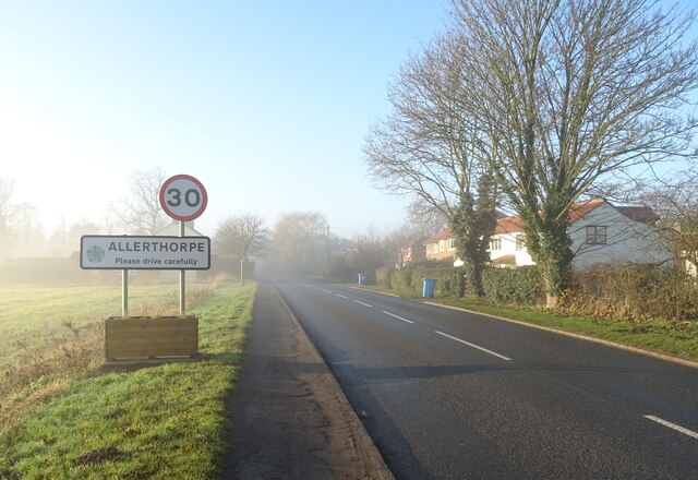
Allerthorpe

Civil Parish in Yorkshire

England

Allerthorpe

Approaching Pocklington Services on York Road (A1079)
Approaching Pocklington Services on York Road (A1079) Credit: JThomas

Allerthorpe is a civil parish located in the East Riding of Yorkshire, England. Situated approximately six miles east of the market town of Pocklington, the village lies on the northern edge of the Yorkshire Wolds. The parish covers an area of around 1,900 acres and has a population of approximately 400 residents.

The village of Allerthorpe is surrounded by picturesque countryside, with rolling hills, meadows, and woodland. It is well-known for its beautiful Allerthorpe Common Nature Reserve, which covers an area of 54 hectares and is managed by the Yorkshire Wildlife Trust. The reserve is home to a wide range of plant and animal species, making it a popular destination for nature enthusiasts and birdwatchers.

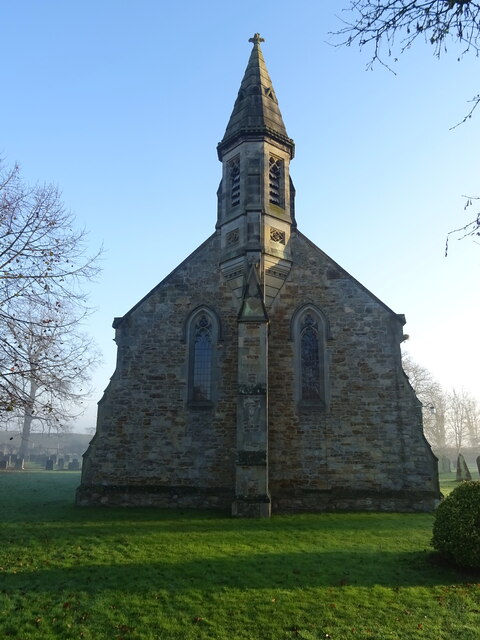
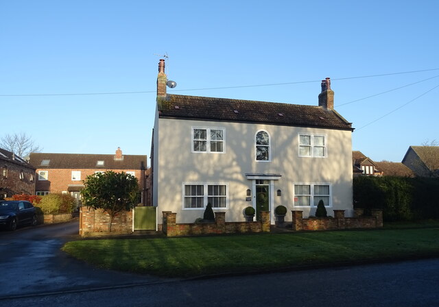
In addition to its natural beauty, Allerthorpe has a rich history. The village is mentioned in the Domesday Book of 1086, and there are several historic buildings and landmarks in the area. All Saints Church, dating back to the 11th century, is a notable example of Norman architecture. The village also boasts a number of traditional cottages and farmhouses, adding to its charm and character.

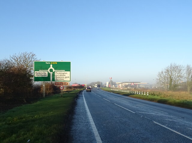
Allerthorpe offers a peaceful and rural lifestyle, with a strong sense of community. The village has a primary school, a village hall, and a pub, providing essential amenities for its residents. It is also conveniently located for access to nearby towns and cities, with good transport links to Pocklington, York, and Hull.

Overall, Allerthorpe is a delightful and idyllic village, combining natural beauty with a rich history, making it a desirable place to live or visit.

If you have any feedback on the listing, please let us know in the comments section below.
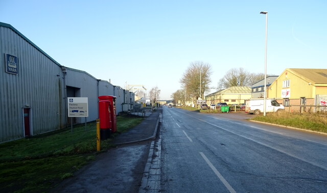
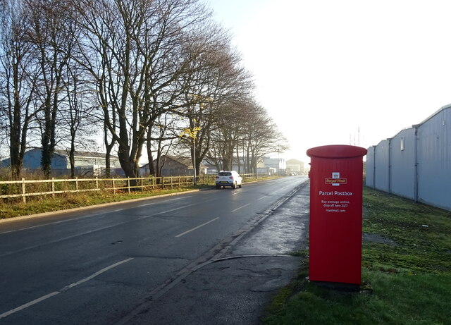
Allerthorpe Images

Images are sourced within 2km of 53.914354/-0.821157 or Grid Reference SE7747. Thanks to Geograph Open Source API. All images are credited.

Approaching Pocklington Services on York Road (A1079)
KFC on Pocklington Services, York Road (A1079)
Service station, Pocklington Services
Entering Allerthorpe
The Old Chapel, Allerthorpe
St Botolph's Church Allerthorpe
Ivy House Farm,  Allerthorpe
Ivy House Farm, Allerthorpe
Elizabeth II postbox and telephone box, Allerthorpe Postbox No. YO42 322.
Elizabeth II postbox and telephone box, Allerthorpe
Postbox No. YO42 322.
Minor road, Allerthorpe Showing position of Postbox No. YO42 322.

See <a href="https://www.geograph.org.uk/photo/7047474">SE7847 : Elizabeth II postbox, Allerthorpe</a> for postbox.
Minor road, Allerthorpe
Showing position of Postbox No. YO42 322. See SE7847 : Elizabeth II postbox, Allerthorpe for postbox.
Elizabeth II postbox, Halifax Way, Pocklington Industrial Estate Postbox No. YO42 554.

See <a href="https://www.geograph.org.uk/photo/7047489">SE7848 : Halifax Way, Pocklington Industrial Estate</a> and <a href="https://www.geograph.org.uk/photo/7047492">SE7848 : Industrial unit, Pocklington Industrial Estate</a> for context.
Elizabeth II postbox, Halifax Way, Pocklington Industrial Estate
Halifax Way, Pocklington Industrial Estate Showing position of Postbox No. YO42 554.

See <a href="https://www.geograph.org.uk/photo/7047486">SE7848 : Elizabeth II postbox, Halifax Way, Pocklington Industrial Estate</a> for postbox.
Halifax Way, Pocklington Industrial Estate
Showing position of Postbox No. YO42 554. See SE7848 : Elizabeth II postbox, Halifax Way, Pocklington Industrial Estate for postbox.
Industrial unit, Pocklington Industrial Estate Showing position of Postbox No. YO42 554.

See <a href="https://www.geograph.org.uk/photo/7047486">SE7848 : Elizabeth II postbox, Halifax Way, Pocklington Industrial Estate</a> for postbox.
Industrial unit, Pocklington Industrial Estate
Showing position of Postbox No. YO42 554. See SE7848 : Elizabeth II postbox, Halifax Way, Pocklington Industrial Estate for postbox.
Elizabeth II postbox and Royal Mail Parcel Box, Halifax Way, Pocklington Industrial Estate Postbox No. YO42 554 and Postbox No. YO42 2006.
Elizabeth II postbox and Royal Mail Parcel Box, Halifax Way, Pocklington Industrial Estate
Postbox No. YO42 554 and Postbox No. YO42 2006.
Royal Mail Parcel Box, Halifax Way, Pocklington Industrial Estate Postbox No. YO42 2006.

See <a href="https://www.geograph.org.uk/photo/7047504">SE7848 : Halifax Way, Pocklington Industrial Estate</a>, <a href="https://www.geograph.org.uk/photo/7047509">SE7848 : Halifax Way, Pocklington Industrial Estate</a> and <a href="https://www.geograph.org.uk/photo/7047510">SE7848 : Industrial unit, Pocklington Industrial Estate</a> for context.
Royal Mail Parcel Box, Halifax Way, Pocklington Industrial Estate
Halifax Way, Pocklington Industrial Estate Showing position of Postbox No. YO42 2006.

See <a href="https://www.geograph.org.uk/photo/7047502">SE7848 : Royal Mail Parcel Box, Halifax Way, Pocklington Industrial Estate</a> for postbox.
Halifax Way, Pocklington Industrial Estate
Showing position of Postbox No. YO42 2006. See SE7848 : Royal Mail Parcel Box, Halifax Way, Pocklington Industrial Estate for postbox.
Show me another place!

Allerthorpe is located at Grid Ref: SE7747 (Lat: 53.914354, Lng: -0.821157)

Division: East Riding

Unitary Authority: East Riding of Yorkshire

Police Authority: Humberside

What 3 Words

///muddle.speedily.prevented. Near Thornton, East Yorkshire

Related Wikis

Waplington

Waplington is a hamlet in the East Riding of Yorkshire, England. It is situated approximately 2 miles (3.2 km) south-west of the market town of Pocklington...

Allerthorpe

Allerthorpe is a village and civil parish in the East Riding of Yorkshire, England. It is situated approximately 1.5 miles (2.4 km) south-west from the...

Allerthorpe Common

Allerthorpe Common is a Site of Special Scientific Interest (SSSI) and nature reserve in the East Riding of Yorkshire, England. It is located close to...

Barmby Moor

Barmby Moor is a village and civil parish in the East Riding of Yorkshire, England. It is situated approximately 1.5 miles (2.4 km) west of the market...

Nearby Amenities

Located within 500m of 53.914354,-0.821157
Material: wood
Power: pole
Lat/Long: 53.9166897/-0.8147989
Material: wood
Power: pole
Lat/Long: 53.9171666/-0.8157764
The data included in this document is from www.openstreetmap.org. The data is made available under ODbL.

Have you been to Allerthorpe?

Leave your review of Allerthorpe below (or comments, questions and feedback).