Owl Wood

Wood, Forest in Yorkshire

England

Owl Wood

Billy Woods rock formation, Kippax
Billy Woods rock formation, Kippax Credit: derek dye

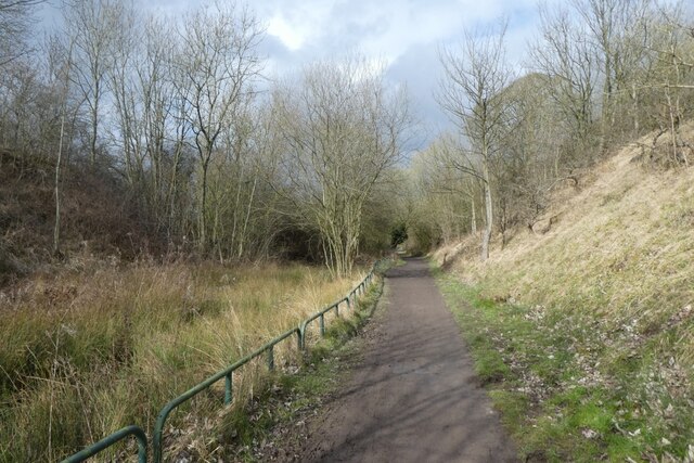
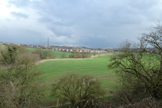
Owl Wood, located in Yorkshire, is a captivating forest known for its natural beauty and diverse wildlife. Spanning over a vast area, the wood is a haven for nature enthusiasts and a popular destination for those seeking solace in the midst of nature.

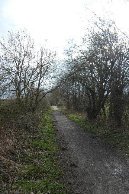
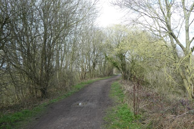
The wood is characterized by its thick foliage, comprising a variety of deciduous and evergreen trees that create a dense canopy overhead. Oak, beech, and birch trees dominate the landscape, adding to the wood's charm and providing a habitat for a rich assortment of wildlife.

Owl Wood is home to a wide array of bird species, including the elusive owl that gives the wood its name. Visitors are often treated to the sight of these majestic creatures gliding silently through the treetops, their hoots echoing through the forest. Other bird species such as woodpeckers, thrushes, and finches can also be spotted within the wood.

The forest floor of Owl Wood is carpeted with a diverse range of flora, including bluebells, ferns, and mosses. This rich tapestry of plants provides a perfect habitat for a variety of small mammals, such as rabbits, squirrels, and voles.

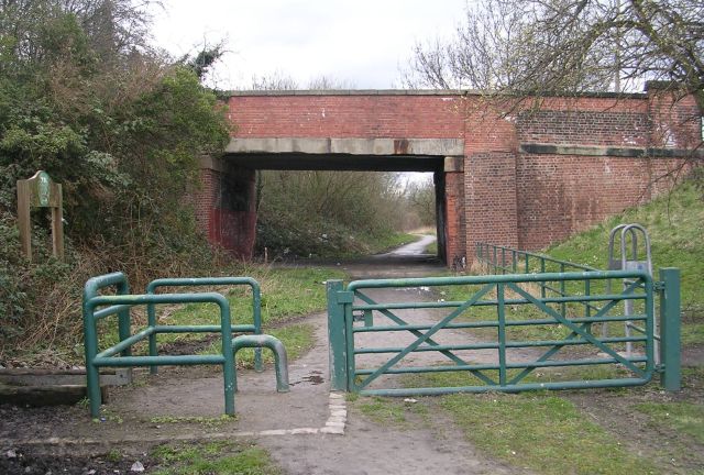
Visitors to Owl Wood can explore its numerous walking trails, allowing them to immerse themselves in the natural wonders of the wood. The tranquil atmosphere and picturesque scenery make it an ideal location for hiking, birdwatching, or simply enjoying a leisurely stroll.

Overall, Owl Wood is a captivating forest in Yorkshire, offering a sanctuary of natural beauty, diverse wildlife, and a peaceful retreat for all who venture within its enchanting boundaries.

If you have any feedback on the listing, please let us know in the comments section below.

Owl Wood Images

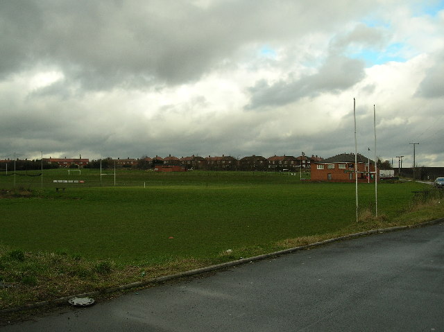
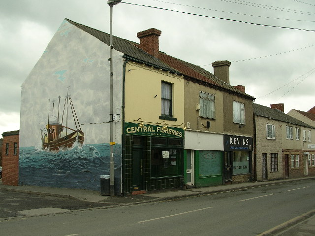
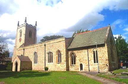
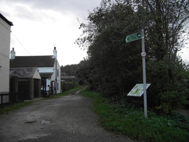
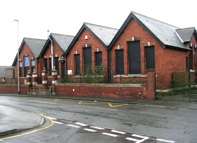
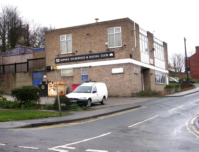
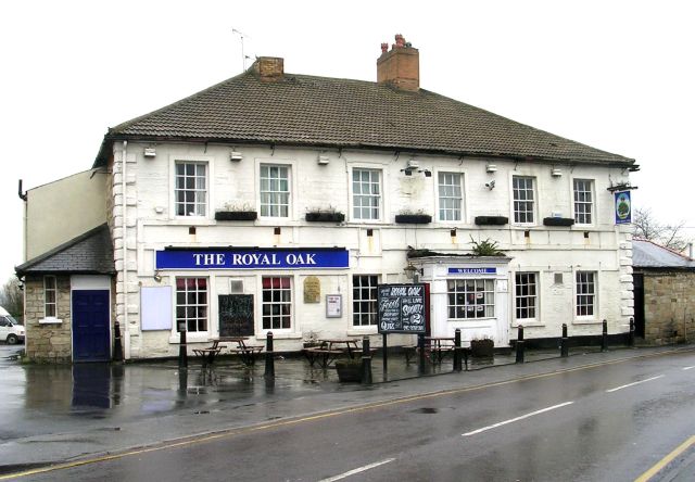
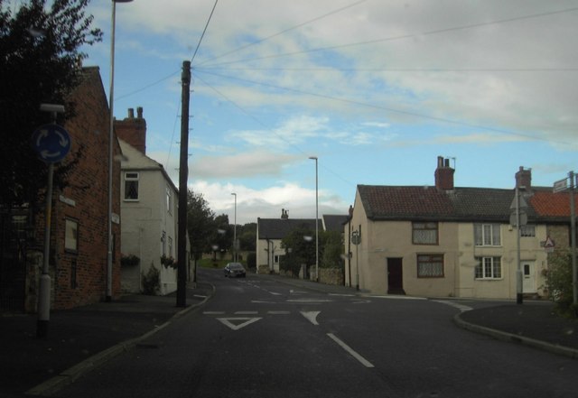
Images are sourced within 2km of 53.754478/-1.374161 or Grid Reference SE4128. Thanks to Geograph Open Source API. All images are credited.

Billy Woods rock formation, Kippax
Pond beside The Lines Way The Lines Way is a cycle path from Garforth to Allerton Bywater along the former railway line. It is designated as part of National Cycle Network route 697.
Pond beside The Lines Way
The Lines Way is a cycle path from Garforth to Allerton Bywater along the former railway line. It is designated as part of National Cycle Network route 697.
Above Townclose Wood Looking towards Kippax from The Lines Way.
Above Townclose Wood
Looking towards Kippax from The Lines Way.
Cycle path from Garforth The Lines Way is a cycle path from Garforth to Allerton Bywater along the former railway line. It is designated as part of National Cycle Network route 697.
Cycle path from Garforth
The Lines Way is a cycle path from Garforth to Allerton Bywater along the former railway line. It is designated as part of National Cycle Network route 697.
Cycle path to Garforth The Lines Way is a cycle path from Garforth to Allerton Bywater along the former railway line. It is designated as part of National Cycle Network route 697.
Cycle path to Garforth
The Lines Way is a cycle path from Garforth to Allerton Bywater along the former railway line. It is designated as part of National Cycle Network route 697.
Gibson Lane, Kippax
Gibson Lane, Kippax
Kippax Welfare Club rugby ground
Mural, Main Street, Kippax On the side of Central Fisheries, and near Kevins Hair Design (for men and women), on the town's main street.
Mural, Main Street, Kippax
On the side of Central Fisheries, and near Kevins Hair Design (for men and women), on the town's main street.
War Memorial, Kippax LEST WE FORGET IN MEMORY OF THE HEROES OF KIPPAX AND  LEDSTON LUCK WHO GAVE THEIR LIVES IN THE GREAT WARS 1914 – 1918 AND 1939 – 1945 RESURGAM
War Memorial, Kippax
LEST WE FORGET IN MEMORY OF THE HEROES OF KIPPAX AND LEDSTON LUCK WHO GAVE THEIR LIVES IN THE GREAT WARS 1914 – 1918 AND 1939 – 1945 RESURGAM
War Memorial plaque outside Co-op in Kippax The granite plaque is on the wall next to the tree.
War Memorial plaque outside Co-op in Kippax
The granite plaque is on the wall next to the tree.
Kippax, St Mary's Church
Green Lane Bridleway Green Lane (Track) on the West side of Kippax. Looking South towards Townclose Hills and Wood, leading to Station Road.
Green Lane Bridleway
Green Lane (Track) on the West side of Kippax. Looking South towards Townclose Hills and Wood, leading to Station Road.
St Mary's Church - Church Lane, Kippax
St Mary's Graveyard - Church Lane, Kippax
St Mary's Church Hall - off Church Street, Kippax
Ash Tree Primary School - Leeds Road, Kippax
Kippax Ex-Service & Social Club - Leeds Road, Kippax
The Royal Oak - Cross Hills, Kippax
Show me another place!

Owl Wood is located at Grid Ref: SE4128 (Lat: 53.754478, Lng: -1.374161)

Division: West Riding

Unitary Authority: Leeds

Police Authority: West Yorkshire

What 3 Words

///each.difficult.ditching. Near Kippax, West Yorkshire

Related Wikis

Bowers railway station

Bowers railway station was a station opened in 1934 by the London and North Eastern Railway (LNER) on the Castleford–Garforth line, in the West Riding...

Brigshaw High School

Brigshaw High School is a coeducational secondary school and sixth form located in the village of Allerton Bywater, West Yorkshire, England. == History... ==

Great Preston

Great Preston is a small rural village in the City of Leeds metropolitan borough, West Yorkshire, England. It has incorporated the once neighbouring hamlet...

Kippax railway station

Kippax railway station was a railway station on the Castleford–Garforth line in West Yorkshire, England. The station opened in 1878 and closed to passengers...

Nearby Amenities

Located within 500m of 53.754478,-1.374161
Turning Circle
Lat/Long: 53.7517286/-1.3795676
Turning Circle
Lat/Long: 53.7520279/-1.3801176
Turning Circle
Lat/Long: 53.7502508/-1.3749677
Noexit: yes
Lat/Long: 53.7542047/-1.38122
Barrier: cycle_barrier
Lat/Long: 53.750752/-1.3755226
Barrier: cycle_barrier
Bicycle: yes
Foot: yes
Motor Vehicle: no
Lat/Long: 53.7508611/-1.3753495
Power: pole
Lat/Long: 53.7522416/-1.3696097
Power: pole
Lat/Long: 53.7530141/-1.371301
Power: pole
Lat/Long: 53.754245/-1.3722835
Power: pole
Lat/Long: 53.7554522/-1.3732197
Power: pole
Lat/Long: 53.756554/-1.3740856
Turning Circle
Lat/Long: 53.7505989/-1.3775415
Crossing
Lat/Long: 53.7564897/-1.3809654
Waste Basket
Collection Times: Sa
Ref UK Leedscc Bin: 921
Lat/Long: 53.750682/-1.375477
Waste Basket
Collection Times: Sa
Ref UK Leedscc Bin: 922
Lat/Long: 53.750419/-1.375486
Noexit: yes
Lat/Long: 53.7506335/-1.376269
Noexit: yes
Lat/Long: 53.7504804/-1.3757697
Power: pole
Lat/Long: 53.7502345/-1.3733851
Power: pole
Lat/Long: 53.7505627/-1.3742405
Power: pole
Lat/Long: 53.7508773/-1.3751212
Power: pole
Lat/Long: 53.7514142/-1.3759353
Power: pole
Lat/Long: 53.7519499/-1.3767288
Power: pole
Lat/Long: 53.7524895/-1.3775452
Power: pole
Lat/Long: 53.7530212/-1.3783685
Material: wood
Power: pole
Lat/Long: 53.7529166/-1.3792772
Line Management: termination
Location Transition: yes
Material: wood
Power: pole
Lat/Long: 53.7534606/-1.3800164
Bowers
Historic Railway: station
Railway: site
Wikidata: Q63919267
Wikipedia: en:Bowers railway station
Lat/Long: 53.7522872/-1.378123
The data included in this document is from www.openstreetmap.org. The data is made available under ODbL.

Have you been to Owl Wood?

Leave your review of Owl Wood below (or comments, questions and feedback).