Allerton Bywater

Settlement in Yorkshire

England

Allerton Bywater

Lock Lane boatyard repairers and dry dock, Castleford
Lock Lane boatyard repairers and dry dock, Castleford Credit: derek dye

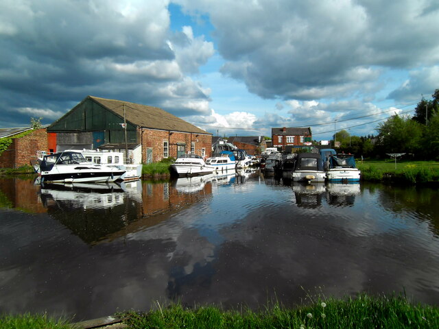
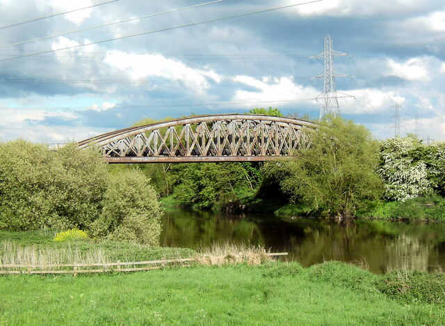
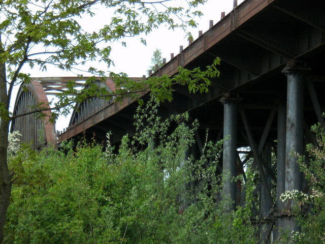
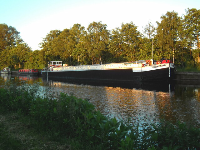
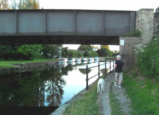
Allerton Bywater is a village located in the City of Leeds metropolitan borough, in West Yorkshire, England. Situated approximately 10 miles east of Leeds city center, it is part of the traditional county of Yorkshire. The village is nestled in the Aire Valley, near the River Aire and the A656 road.

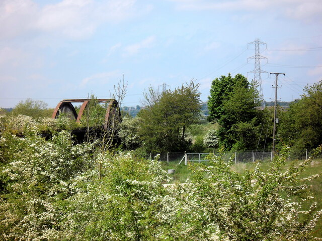
Allerton Bywater is known for its rich history in coal mining, which dates back to the 19th century. The village was built to accommodate workers from the nearby collieries, which were active until the late 20th century. Today, remnants of the mining industry can still be seen, including former pit buildings and terraced houses.

The village has a close-knit community with a population of around 4,000 residents. It offers a range of amenities, including a primary school, several shops, a community center, and a public library. Allerton Bywater also has a number of recreational facilities, such as a park, sports fields, and a cricket club.

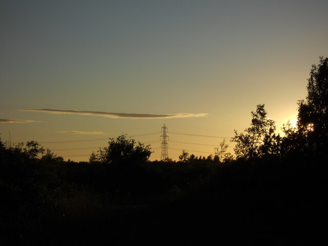
The surrounding countryside provides opportunities for outdoor activities, with numerous footpaths and nature trails for walking and cycling. Additionally, the nearby Fairburn Ings nature reserve attracts birdwatchers and wildlife enthusiasts.

Allerton Bywater benefits from good transportation links, with regular bus services connecting it to nearby towns and cities. The village is also conveniently located near the A1(M) motorway, providing easy access to Leeds, York, and the wider Yorkshire region.

If you have any feedback on the listing, please let us know in the comments section below.

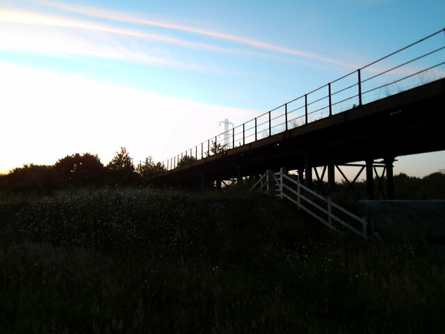
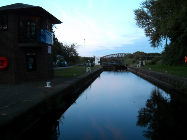
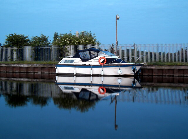
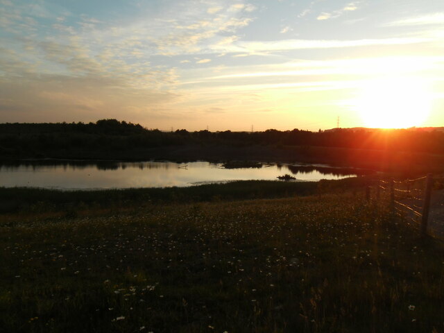
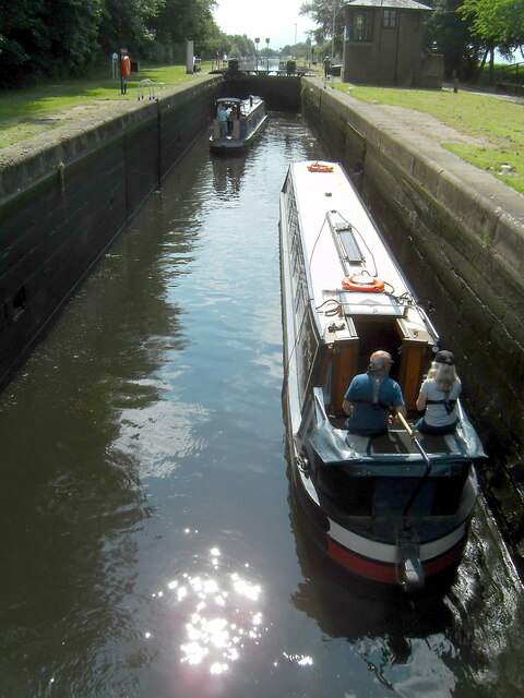
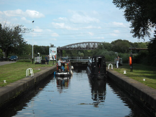
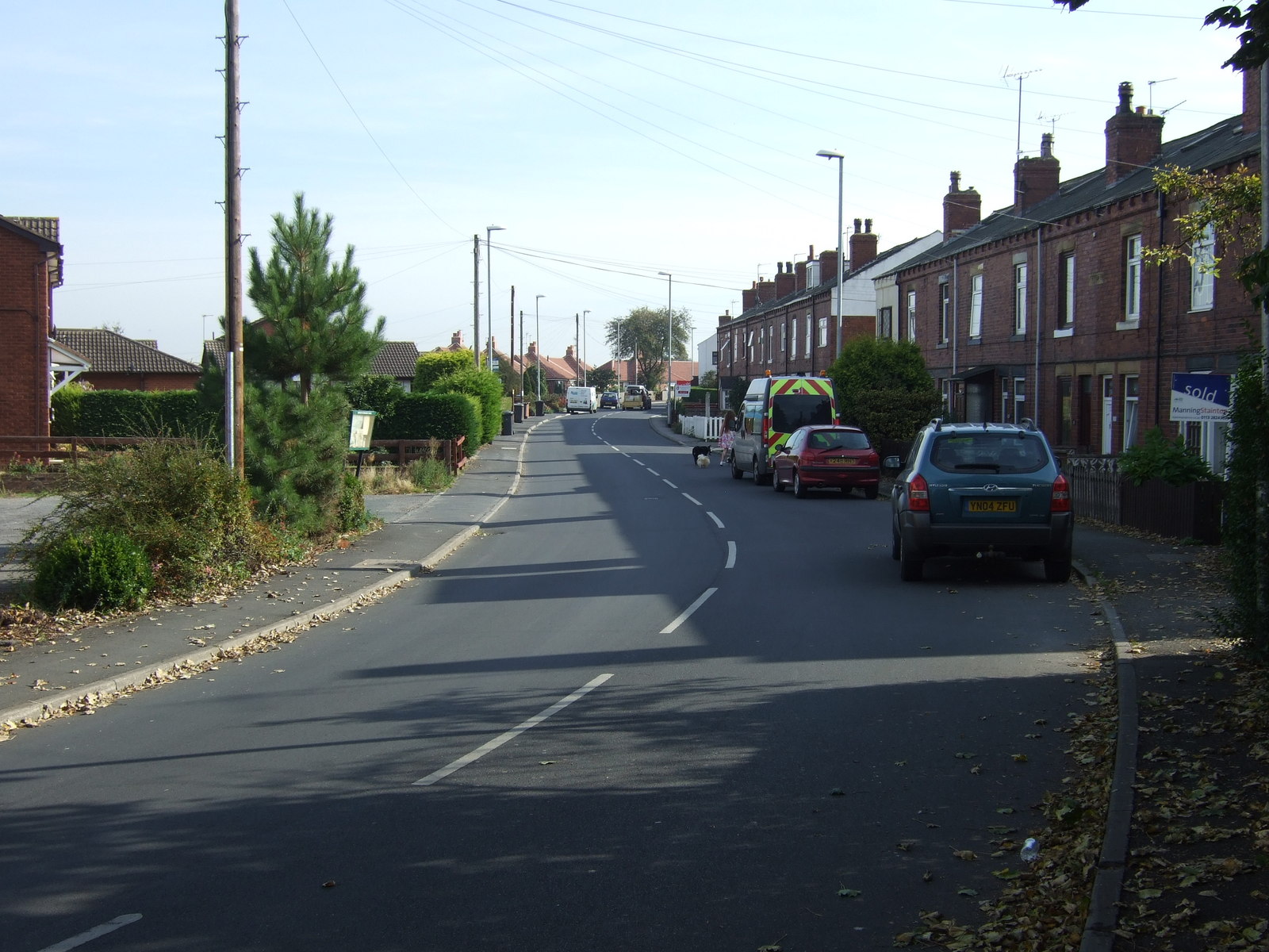
Allerton Bywater Images

Images are sourced within 2km of 53.742628/-1.362395 or Grid Reference SE4227. Thanks to Geograph Open Source API. All images are credited.

Lock Lane boatyard repairers and dry dock, Castleford
The "Iron Bridge" Castleford Derelict railway viaduct over the Aire and Calder Navigation, locally referred to as "The Iron Bridge".
The "Iron Bridge" Castleford
Derelict railway viaduct over the Aire and Calder Navigation, locally referred to as "The Iron Bridge".
Course of disused railway line The old railway line that once led over the Iron Bridge towards Allerton Bywater.
Course of disused railway line
The old railway line that once led over the Iron Bridge towards Allerton Bywater.
The Iron Bridge
The Iron Bridge
Overgrown disused railway line and viaduct
Sunset from Bullholme locks Castleford
The "Freda Careless". Barge moored on the canal at Lock Lane Castleford.
The "Freda Careless".
Barge moored on the canal at Lock Lane Castleford.
Lock Lane road bridge Castleford Road bridge over the Aire and Calder Navigation canal
Lock Lane road bridge Castleford
Road bridge over the Aire and Calder Navigation canal
The Iron Bridge at twilight
Twilight at Bullholme Locks Castleford
Boat reflection Boat mirror image at Lock Lane, Castleford.
Boat reflection
Boat mirror image at Lock Lane, Castleford.
The light's fading fast Lock Lane, Castleford
The light's fading fast
Lock Lane, Castleford
Narrowbots in Bullholme locks Castleford
Waiting to descend locks A pair of narrow boats in Bullholme locks, Castleford, waiting to descend and enter the river system.
Waiting to descend locks
A pair of narrow boats in Bullholme locks, Castleford, waiting to descend and enter the river system.
Two up, two down Two narrow boats exit Bullholme Locks, Castleford, while another pair wait to enter the locks in the opposite direction.
Two up, two down
Two narrow boats exit Bullholme Locks, Castleford, while another pair wait to enter the locks in the opposite direction.
A narrow boat passes under the derelict railway viaduct The "Iron Bridge" (viaduct) viewed from Bullholme locks.
A narrow boat passes under the derelict railway viaduct
The "Iron Bridge" (viaduct) viewed from Bullholme locks.
Harvesting at Green lane Ledston
The White Horse Inn public house Ledston
Show me another place!

Allerton Bywater is located at Grid Ref: SE4227 (Lat: 53.742628, Lng: -1.362395)

Division: West Riding

Unitary Authority: Leeds

Police Authority: West Yorkshire

What 3 Words

///cared.making.honey. Near Ledston, West Yorkshire

Nearby Locations

Allerton Bywater

Related Wikis

Allerton Bywater colliery explosion

The Allerton Bywater colliery explosion was a mining accident at the Allerton Bywater Colliery in Allerton Bywater, England, which occurred on Monday 10...

Allerton Bywater

Allerton Bywater is a semi-rural village and civil parish in the south-east of the City of Leeds metropolitan borough in West Yorkshire, England. The population...

Ledston railway station

Ledston railway station was a railway station on the now disused Castleford–Garforth line in West Yorkshire, England. The station opened in 1878 and was...

Lower Mickletown

Lower Mickletown is a hamlet in the City of Leeds, in the English county of West Yorkshire. It was named Low Mickletown in the early 20th century and has...

Nearby Amenities

Located within 500m of 53.742628,-1.362395
Allerton Bywater
Is In: West Yorkshire, England, UK
Place: village
Population: 4717
Source: npe
Wikidata: Q2130880
Wikipedia: en:Allerton Bywater
Lat/Long: 53.7431627/-1.3653148
Traffic Signals
Traffic Signals: signal
Traffic Signals Direction: backward
Lat/Long: 53.7425003/-1.3553825
Traffic Signals
Traffic Signals: signal
Traffic Signals Direction: forward
Lat/Long: 53.7430331/-1.3553873
Traffic Signals
Traffic Signals: signal
Traffic Signals Direction: backward
Lat/Long: 53.742866/-1.3558418
Station Road Station Terrace
Bus: yes
Local Ref: 45010123
Public Transport: stop_position
Lat/Long: 53.7433006/-1.3601544
Station Road Robinson Street
Bus: yes
Local Ref: 45010124
Public Transport: stop_position
Lat/Long: 53.7435621/-1.3649845
Cafe
Samuel Valentines
Addr City: Castleford
Addr Housenumber: 20-24
Addr Postcode: WF10 2BP
Addr Street: Station Road
Addr Suburb: Allerton Bywater
Cuisine: sandwich
Fhrs Id: 1223673
Smoking: no
Wheelchair: yes
Lat/Long: 53.7433152/-1.3651098
Noexit: yes
Lat/Long: 53.7433519/-1.3676904
Turning Circle
Turning Circle: hammer
Lat/Long: 53.7448238/-1.3678599
Noexit: yes
Lat/Long: 53.7437663/-1.3581467
Noexit: yes
Lat/Long: 53.7439389/-1.3600237
Pub
Anchor
Smoking: outside
Lat/Long: 53.7435555/-1.3676815
Bus Stop
Station Road Station Terrace
Bus: yes
Local Ref: 45010123
Naptan AtcoCode: 450010123
Naptan Bearing: E
Naptan CommonName: Station Road Station Terrace
Naptan Crossing: Station Terrace
Naptan Indicator: Stop 45010123
Naptan PlusbusZoneRef: LEEDS
Naptan ShortCommonName: Station Terrace
Naptan Street: Station Road
Naptan Verified: no
Network: Metro West Yorkshire
Network Wikidata: Q7987043
Public Transport: platform
Source: naptan_import
Lat/Long: 53.7433463/-1.3602334
Bus Stop
Station Road Robinson Street
Bench: yes
Bus: yes
Bus Routes: Arriva
Covered: yes
Local Ref: 45010124
Naptan AtcoCode: 450010124
Naptan Bearing: NW
Naptan CommonName: Station Road Robinson Street
Naptan Crossing: Robinson Street
Naptan Indicator: Stop 45010124
Naptan PlusbusZoneRef: LEEDS
Naptan ShortCommonName: Robinson Street
Naptan Street: Station Road
Naptan Verified: no
Network: Metro West Yorkshire
Network Wikidata: Q7987043
Public Transport: platform
Shelter: yes
Source: naptan_import
Lat/Long: 53.7435328/-1.3650365
Bus Stop
Station Road Robinson Street
Bench: yes
Bus: yes
Bus Routes: Arriva
Covered: yes
Local Ref: 45010125
Naptan AtcoCode: 450010125
Naptan Bearing: SE
Naptan CommonName: Station Road Robinson Street
Naptan Crossing: Robinson Street
Naptan Indicator: Stop 45010125
Naptan Landmark: Theatre PH
Naptan PlusbusZoneRef: LEEDS
Naptan ShortCommonName: Robinson Street
Naptan Street: Station Road
Naptan Verified: no
Network: Metro West Yorkshire
Network Wikidata: Q7987043
Public Transport: platform
Shelter: yes
Source: naptan_import
Lat/Long: 53.7440518/-1.3654953
Bus Stop
Station Road Letchmire Road
Bus: yes
Naptan AtcoCode: 450028978
Naptan Bearing: E
Naptan CommonName: Station Road Letchmire Road
Naptan Crossing: Letchmire Road
Naptan Landmark: Unknown
Naptan ShortCommonName: Letchmire Road
Naptan Street: Station Road
Naptan Verified: no
Network: Metro West Yorkshire
Network Wikidata: Q7987043
Public Transport: platform
Ref: 450028978
Source: naptan_import
Lat/Long: 53.7430876/-1.3573157
Bus Stop
Station Road Letchmire Drive
Bus: yes
Naptan AtcoCode: 450028979
Naptan Bearing: W
Naptan CommonName: Station Road Letchmire Drive
Naptan Crossing: Letchmire Drive
Naptan Landmark: Unknown
Naptan ShortCommonName: Letchmire Drive
Naptan Street: Station Road
Naptan Verified: no
Network: Metro West Yorkshire
Network Wikidata: Q7987043
Public Transport: platform
Ref: 450028979
Source: naptan_import
Lat/Long: 53.743049/-1.3578297
Bus Stop
Station Road
Bus: yes
Naptan AtcoCode: 450028980
Naptan Bearing: W
Naptan CommonName: Station Road
Naptan Landmark: Unknown
Naptan ShortCommonName: Station Road
Naptan Street: Station Road
Naptan Verified: no
Network: Metro West Yorkshire
Network Wikidata: Q7987043
Public Transport: platform
Source: naptan_import
Lat/Long: 53.7432458/-1.3606643
Station Terrace
Local Ref: 45050002
Naptan AtcoCode: 450050002
Naptan Bearing: W
Naptan BusStopType: CUS
Naptan CommonName: Station Terrace
Naptan Indicator: Stop 45050002
Naptan PlusbusZoneRef: LEEDS
Naptan ShortCommonName: Station Terrace
Naptan Street: Station Road
Naptan Verified: no
Source: naptan_import
Lat/Long: 53.7432868/-1.3602454
Noexit: yes
Lat/Long: 53.7415337/-1.364773
Noexit: yes
Lat/Long: 53.7418091/-1.3682761
Noexit: yes
Lat/Long: 53.7421096/-1.3683462
Post Box
Operator: Royal Mail
Operator Type: private
Operator Wikidata: Q638098
Post Box Type: wall
Ref: WF10 65
Lat/Long: 53.745295/-1.368467
Cafe
Tuck In
Addr City: Castleford
Addr Housenumber: 12
Addr Postcode: WF10 2BP
Addr Street: Station Road
Addr Suburb: Allerton Bywater
Cuisine: sandwich
Fhrs Id: 1043822
Internet Access: no
Opening Hours: Mo-Fr 07:00-13:00; Sa 08:00-12:00
Smoking: outside
Takeaway: yes
Lat/Long: 53.744205/-1.3660457
Allerton Bywater War Memorial
Description: War memorial for all those that served and died from Allerton Bywater in the World Wars
Historic: memorial
Memorial: war_memorial
Lat/Long: 53.7451365/-1.3681558
Crossing
Crossing: marked
Traffic Calming: table
Lat/Long: 53.745681/-1.3629932
Turning Circle
Lat/Long: 53.7444189/-1.3676969
Noexit: yes
Lat/Long: 53.7462853/-1.3631349
Crossing
Crossing: marked
Traffic Calming: table
Lat/Long: 53.7465085/-1.3661795
Crossing
Crossing: marked
Traffic Calming: table
Lat/Long: 53.7463054/-1.3653307
Crossing
Crossing: marked
Traffic Calming: table
Lat/Long: 53.7458922/-1.3637415
Crossing
Crossing: marked
Traffic Calming: table
Lat/Long: 53.745252/-1.3615401
Crossing
Crossing: marked
Traffic Calming: table
Lat/Long: 53.7447473/-1.3599302
Crossing
Crossing: marked
Traffic Calming: table
Lat/Long: 53.7442503/-1.3585223
Noexit: yes
Lat/Long: 53.7447649/-1.3584356
Noexit: yes
Lat/Long: 53.7455585/-1.3598221
Noexit: yes
Lat/Long: 53.7457641/-1.3606315
Noexit: yes
Lat/Long: 53.7431806/-1.3572333
Noexit: yes
Lat/Long: 53.7440593/-1.3569082
Turning Circle
Lat/Long: 53.7469436/-1.3607566
Defibrillator
Emergency: defibrillator
Lat/Long: 53.7438417/-1.3563817
Turning Circle
Turning Circle: hammer
Lat/Long: 53.7445685/-1.3675458
Noexit: yes
Lat/Long: 53.7448887/-1.3562761
Waste Basket
Collection Times: Sa
Ref UK Leedscc Bin: 3470
Lat/Long: 53.743302/-1.368166
Waste Basket
Collection Times: Sa
Ref UK Leedscc Bin: 1731
Lat/Long: 53.743441/-1.365115
Noexit: yes
Lat/Long: 53.7418245/-1.3675457
Noexit: yes
Lat/Long: 53.7440863/-1.3641047
Noexit: yes
Lat/Long: 53.7461095/-1.3577036
Noexit: yes
Lat/Long: 53.7442309/-1.3576073
Noexit: yes
Lat/Long: 53.7444388/-1.3576009
Noexit: yes
Lat/Long: 53.745357/-1.361701
Barrier: bollard
Lat/Long: 53.7453841/-1.3634183
Traffic Calming: cushion
Lat/Long: 53.7433012/-1.3592168
Traffic Calming: cushion
Lat/Long: 53.7432764/-1.361366
Priority: backward
Traffic Calming: choker
Lat/Long: 53.7432311/-1.363352
Barrier: bollard
Lat/Long: 53.7438458/-1.3653967
Noexit: yes
Lat/Long: 53.7442438/-1.3667062
Noexit: yes
Lat/Long: 53.7450559/-1.3661926
Noexit: yes
Lat/Long: 53.7447645/-1.366151
Noexit: yes
Lat/Long: 53.7434253/-1.3677134
Noexit: yes
Lat/Long: 53.741054/-1.3674131
Noexit: yes
Lat/Long: 53.740672/-1.367149
Noexit: yes
Lat/Long: 53.7421733/-1.3674773
Noexit: yes
Lat/Long: 53.7419844/-1.367301
Noexit: yes
Lat/Long: 53.7444498/-1.356695
Noexit: yes
Lat/Long: 53.7446792/-1.3575646
Noexit: yes
Lat/Long: 53.7454262/-1.3589473
Ledston
Historic Railway: station
Railway: site
Wikidata: Q65081422
Wikipedia: en:Ledston railway station
Lat/Long: 53.7439007/-1.3556177
Station Road Robinson Street
Bus: yes
Local Ref: 45010125
Public Transport: stop_position
Lat/Long: 53.7439525/-1.3654373
Station Road
Bus: yes
Public Transport: stop_position
Ref: 450028980
Lat/Long: 53.7432882/-1.3607738
Station Road Letchmire Road
Bus: yes
Public Transport: stop_position
Ref: 450028978
Lat/Long: 53.7430228/-1.3571812
Station Road Letchmire Drive
Bus: yes
Public Transport: stop_position
Ref: 450028979
Lat/Long: 53.7431081/-1.3578061
The data included in this document is from www.openstreetmap.org. The data is made available under ODbL.

Have you been to Allerton Bywater?

Leave your review of Allerton Bywater below (or comments, questions and feedback).