Castell Coety
Heritage Site in Glamorgan
Wales
Castell Coety
Castell Coety, located in Glamorgan, Wales, is a historic heritage site that dates back to the 12th century. This Norman castle is situated on a hilltop overlooking the Llynfi Valley and offers panoramic views of the surrounding countryside.
The castle was built by Sir Payn de Turberville, a Norman knight, as a defensive stronghold. It features a circular keep, which is the main structure of the castle, surrounded by a curtain wall and a moat. The walls were constructed using local limestone, and the castle was designed to withstand attacks from enemies.
Over the centuries, Castell Coety has witnessed various conflicts and changes in ownership. It played a significant role during the Welsh Wars of Independence, with its strategic location enabling control over the nearby valleys and roads. The castle passed through the hands of several noble families and underwent numerous renovations and expansions.
Today, Castell Coety stands as a ruin, with only a portion of the original structure remaining. However, its historical significance and architectural beauty attract visitors from far and wide. The castle ruins are surrounded by well-preserved earthworks, including a deep ditch and a partially filled moat.
Visitors to Castell Coety can explore the remaining walls and climb to the top of the keep, which offers breathtaking views of the countryside. The site also provides interpretive boards, providing historical context and information about the castle's past.
Castell Coety is a cherished heritage site in Glamorgan, offering a glimpse into Wales' rich history and captivating visitors with its medieval charm.
If you have any feedback on the listing, please let us know in the comments section below.
Castell Coety Images
Images are sourced within 2km of 51.5221/-3.5534 or Grid Reference SS9281. Thanks to Geograph Open Source API. All images are credited.


Castell Coety is located at Grid Ref: SS9281 (Lat: 51.5221, Lng: -3.5534)
Unitary Authority: Bridgend
Police Authority: South Wales
Also known as: Coity Castle
What 3 Words
///eating.leap.beast. Near Coity, Bridgend
Nearby Locations
Related Wikis

St Mary's Church, Coity Higher
St Mary's Church is a Grade I listed church in Coity Higher, Bridgend County Borough, southern Wales. The church is dated mainly to the 14th century, though...

Coity Castle
Coity Castle (Welsh: Castell Coety) in Glamorgan, Wales, is a Norman castle built by Sir Payn "the Demon" de Turberville (fl. 1126), one of the legendary...

Coity Higher
Coity Higher is a community in Bridgend County Borough, south Wales. It contains the north western suburbs of Bridgend which includes the villages of Litchard...
Coity
Coity is a village in Bridgend County Borough, south Wales, part of Bridgend town urban area. Coity is part of the community of Coity Higher and is notable...
Brackla
Brackla (Welsh: Bracla) is a large housing estate and community in the east of Bridgend in Bridgend County Borough, Wales. Along with the communities of...
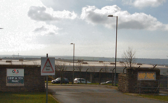
HM Prison Parc
HM Prison Parc (Welsh: Carchar Parc EF) is a Category B men's private prison and Young Offenders Institution in Bridgend, Mid Glamorgan, Wales. It is operated...

Parc Hospital
Parc Hospital (Welsh: Ysbyty Parc) was a mental health facility at Bridgend in Wales. == History == Parc Gwyllt Farm and Gelliau Farm were identified in...
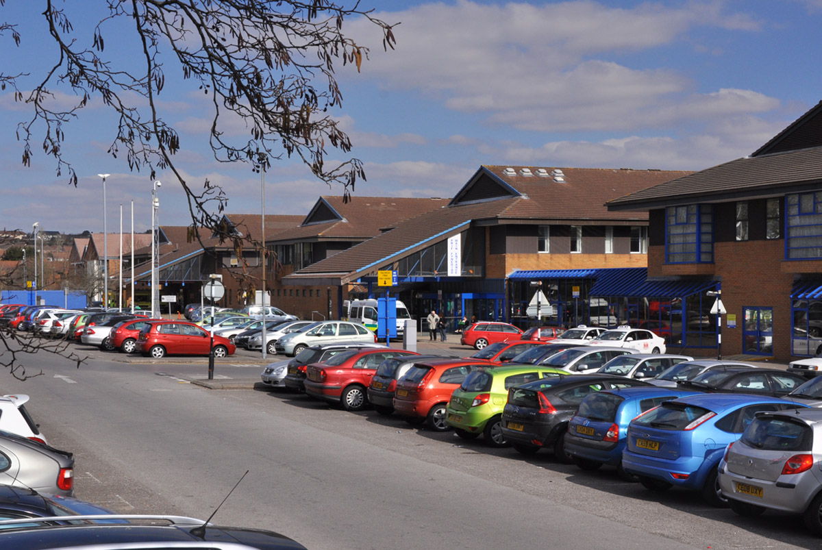
Princess of Wales Hospital
The Princess of Wales Hospital (Welsh: Ysbyty Tywysoges Cymru) is a district general hospital in Bridgend, Wales. It is managed by Cwm Taf Morgannwg University...
Nearby Amenities
Located within 500m of 51.5221,-3.5534Have you been to Castell Coety?
Leave your review of Castell Coety below (or comments, questions and feedback).