Byeastwood

Settlement in Glamorgan

Wales

Byeastwood

Ordnance Survey Rivet This damaged OS rivet can be found on the rock outcrop on Cefn Hirgoed. It marks a point 130.186m above mean sea level.
Ordnance Survey Rivet Credit: Adrian Dust

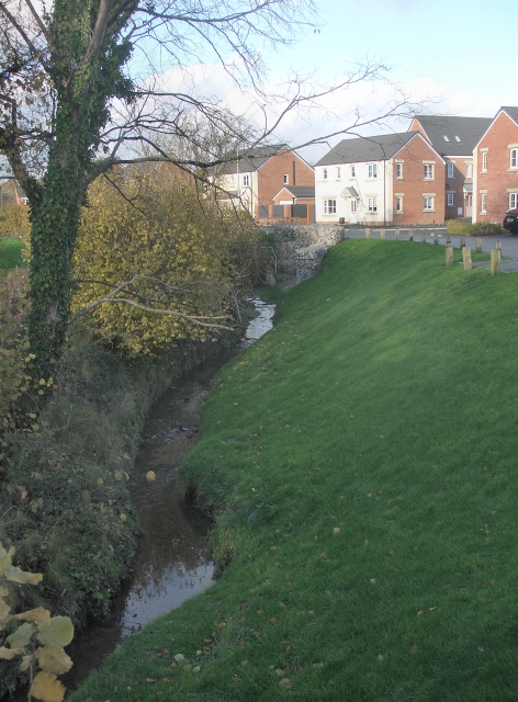
Bryeastwood is a small village located in the county of Glamorgan, Wales. Situated in the southern part of the country, it is nestled within the picturesque landscapes of the Vale of Glamorgan. The village is known for its charming and idyllic setting, surrounded by rolling hills and lush green fields.

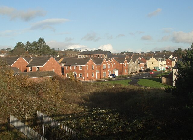
With a population of around 500 residents, Bryeastwood has a close-knit community and a peaceful atmosphere. The village is primarily residential, with a few small businesses and amenities catering to the local population. The architecture in Bryeastwood is predominantly traditional, with a mix of old stone cottages and more modern houses.

Nature enthusiasts will find plenty to explore in and around Bryeastwood. The village is located near several nature reserves and parks, offering opportunities for hiking, bird-watching, and enjoying the countryside. Additionally, the nearby coastline provides scenic views and a variety of water activities for those who enjoy the beach.

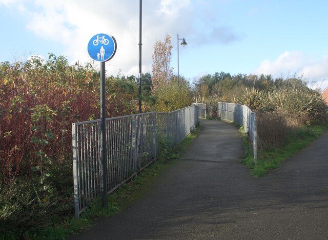
Bryeastwood is well-connected to the surrounding areas through a network of roads, making it easily accessible for both residents and visitors. The village also benefits from good public transportation links, with regular bus services connecting it to nearby towns and cities.

Overall, Bryeastwood is a tranquil and picturesque village, offering a peaceful retreat from the hustle and bustle of urban life. With its stunning natural surroundings and strong sense of community, it is a place that attracts those seeking a slower pace of life and a closer connection to nature.

If you have any feedback on the listing, please let us know in the comments section below.
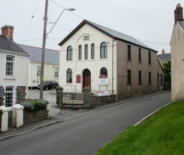
Byeastwood Images

Images are sourced within 2km of 51.524701/-3.545117 or Grid Reference SS9281. Thanks to Geograph Open Source API. All images are credited.

Ordnance Survey Rivet This damaged OS rivet can be found on the rock outcrop on Cefn Hirgoed. It marks a point 130.186m above mean sea level.
Ordnance Survey Rivet
This damaged OS rivet can be found on the rock outcrop on Cefn Hirgoed. It marks a point 130.186m above mean sea level.
Ordnance Survey Cut Mark This OS cut mark can be found on the wall west side of the road. It marks a point 105.482m above mean sea level.
Ordnance Survey Cut Mark
This OS cut mark can be found on the wall west side of the road. It marks a point 105.482m above mean sea level.
Ordnance Survey Cut Mark This damaged and moved OS cut mark can be found on the gatepost of Glan Nant House. It marked a point 110.886m above mean sea level.
Ordnance Survey Cut Mark
This damaged and moved OS cut mark can be found on the gatepost of Glan Nant House. It marked a point 110.886m above mean sea level.
Ordnance Survey Cut Mark This OS cut mark can be found on the gatepost of Heol-y-llan. It marks a point 100.776m above mean sea level.
Ordnance Survey Cut Mark
This OS cut mark can be found on the gatepost of Heol-y-llan. It marks a point 100.776m above mean sea level.
Ordnance Survey Cut Mark This OS cut mark can be found on the wall at the rear of No1 Rhiw Las. It marks a point 78.003m above mean sea level.
Ordnance Survey Cut Mark
This OS cut mark can be found on the wall at the rear of No1 Rhiw Las. It marks a point 78.003m above mean sea level.
Stream by Ffordd Cadfan, Bridgend Seen at a new residential area in the north of Bridgend.
Stream by Ffordd Cadfan, Bridgend
Seen at a new residential area in the north of Bridgend.
A view of Parc Derwen, Bridgend A recently built residential district of Bridgend situated just to the east of Litchard. For an idea of how the area looked before it was built up see <a href="https://www.geograph.org.uk/photo/358803">SS9181 : Track To Farm Building</a>.
A view of Parc Derwen, Bridgend
A recently built residential district of Bridgend situated just to the east of Litchard. For an idea of how the area looked before it was built up see SS9181 : Track To Farm Building.
The A4061 at the eastern edge of Litchard The image shows some of the three kilometre or so stretch of dual carriageway between the centre of Bridgend and the M4 which lies at the southern end of the A4061. North of the M4 the road ceases to be a dual carriageway, and continues to Hirwaun via the Ogmore and Rhondda Fawr valleys.

Litchard lies just to the left (west) of the part of the road seen in the image, whereas Parc Derwen, a recently built residential area, lies just to the right.
The A4061 at the eastern edge of Litchard
The image shows some of the three kilometre or so stretch of dual carriageway between the centre of Bridgend and the M4 which lies at the southern end of the A4061. North of the M4 the road ceases to be a dual carriageway, and continues to Hirwaun via the Ogmore and Rhondda Fawr valleys. Litchard lies just to the left (west) of the part of the road seen in the image, whereas Parc Derwen, a recently built residential area, lies just to the right.
Cycle and pedestrian bridge by Ffordd Cadfan, Bridgend The bridge carries a path for cyclists and pedestrians over a stream. The latter can be seen in <a href="https://www.geograph.org.uk/photo/7358070">SS9180 : Stream by Ffordd Cadfan, Bridgend</a>.
Cycle and pedestrian bridge by Ffordd Cadfan, Bridgend
The bridge carries a path for cyclists and pedestrians over a stream. The latter can be seen in SS9180 : Stream by Ffordd Cadfan, Bridgend.
Rotary International Way (A4061) south of Litchard Rotary International Way is the name given to those parts of the dual carriageway on the A4061 in Bridgend which lie between the roundabout at the southern end of Coity Road in the centre of the town and the roundabout at the A road’s junction with West Plas Road at Litchard. It is about a mile long.

The image is a northward view in the direction of Litchard.
Rotary International Way (A4061) south of Litchard
Rotary International Way is the name given to those parts of the dual carriageway on the A4061 in Bridgend which lie between the roundabout at the southern end of Coity Road in the centre of the town and the roundabout at the A road’s junction with West Plas Road at Litchard. It is about a mile long. The image is a northward view in the direction of Litchard.
Cycle and pedestrian path at the southern edge of the playing fields in Litchard Eastward view in the direction of Parc Derwen and Coity on one of the cycle paths of an extensive network in the north of Bridgend.
Cycle and pedestrian path at the southern edge of the playing fields in Litchard
Eastward view in the direction of Parc Derwen and Coity on one of the cycle paths of an extensive network in the north of Bridgend.
Cycle and pedestrian bridge over the A4061, Bridgend The bridge - which is for cycles and pedestrians only - connects Parc Derwen and Litchard. It lies on the same path as the stretch seen in <a href="https://www.geograph.org.uk/photo/7362661">SS9181 : Cycle and pedestrian path at the southern edge of the playing fields in Litchard</a>.
Cycle and pedestrian bridge over the A4061, Bridgend
The bridge - which is for cycles and pedestrians only - connects Parc Derwen and Litchard. It lies on the same path as the stretch seen in SS9181 : Cycle and pedestrian path at the southern edge of the playing fields in Litchard.
Cycle and pedestrian bridge over the A4061, Bridgend (2) Looking towards Parc Derwen from the eastern edge of Litchard along the bridge seen in <a href="https://www.geograph.org.uk/photo/7364773">SS9181 : Cycle and pedestrian bridge over the A4061, Bridgend</a>.
Cycle and pedestrian bridge over the A4061, Bridgend (2)
Looking towards Parc Derwen from the eastern edge of Litchard along the bridge seen in SS9181 : Cycle and pedestrian bridge over the A4061, Bridgend.
Eastern approach to a bridge over the A4061, Bridgend The image shows the eastern approach to the bridge seen in <a href="https://www.geograph.org.uk/photo/7364773">SS9181 : Cycle and pedestrian bridge over the A4061, Bridgend</a>.  Prominent in it is the standard sign for a route for shared use by cycles and pedestrians only.
Eastern approach to a bridge over the A4061, Bridgend
The image shows the eastern approach to the bridge seen in SS9181 : Cycle and pedestrian bridge over the A4061, Bridgend. Prominent in it is the standard sign for a route for shared use by cycles and pedestrians only.
Playing field at Litchard The houses in the distance are on the opposite (west) side of the road Litchard Hill to the playing field.
Playing field at Litchard
The houses in the distance are on the opposite (west) side of the road Litchard Hill to the playing field.
Coed-y-Mwstwr Hotel The Coed-y-Mwstwr Hotel is a popular wedding venue, 4 star hotel & dining location just above the golf course. It began life in 1888 as a bustling family home to liberal MP Arthur John Williams and his wife, Rose.
Coed-y-Mwstwr Hotel
The Coed-y-Mwstwr Hotel is a popular wedding venue, 4 star hotel & dining location just above the golf course. It began life in 1888 as a bustling family home to liberal MP Arthur John Williams and his wife, Rose.
Coity Castle Coity Castle viewed from New Castle Bridgend, using quite a lot of zoom range on camera
Coity Castle
Coity Castle viewed from New Castle Bridgend, using quite a lot of zoom range on camera
Brackla Roundabout The building behind the roundabout is the Crematorium
Brackla Roundabout
The building behind the roundabout is the Crematorium
Show me another place!

Byeastwood is located at Grid Ref: SS9281 (Lat: 51.524701, Lng: -3.545117)

Unitary Authority: Bridgend

Police Authority: South Wales

What 3 Words

///dust.sound.tribune. Near Coity, Bridgend

Related Wikis

Coity Castle

Coity Castle (Welsh: Castell Coety) in Glamorgan, Wales, is a Norman castle built by Sir Payn "the Demon" de Turberville (fl. 1126), one of the legendary...

Coity Higher

Coity Higher is a community in Bridgend County Borough, south Wales. It contains the north western suburbs of Bridgend which includes the villages of Litchard...

Coity

Coity is a village in Bridgend County Borough, south Wales, part of Bridgend town urban area. Coity is part of the community of Coity Higher and is notable...

St Mary's Church, Coity Higher

St Mary's Church is a Grade I listed church in Coity Higher, Bridgend County Borough, southern Wales. The church is dated mainly to the 14th century, though...

Nearby Amenities

Located within 500m of 51.524701,-3.545117
Crossing
Lat/Long: 51.5230709/-3.5474054
Post Box
Collection Times: Mo-Fr 09:00; Sa 07:00
Operator: Royal Mail
Post Box Mounting: stone_wall
Post Box Type: wall
Ref: CF35 84D
Royal Cypher: GR
Royal Cypher Wikidata: Q33102273
Lat/Long: 51.5246982/-3.5450448
Direction: 195
Generator Method: photovoltaic
Generator Output Electricity: yes
Generator Solar Modules: 16
Generator Source: solar
Generator Type: solar_photovoltaic_panel
Location: roof
Power: generator
Lat/Long: 51.5285443/-3.5442549
Direction: 195
Generator Method: photovoltaic
Generator Output Electricity: yes
Generator Solar Modules: 16
Generator Source: solar
Generator Type: solar_photovoltaic_panel
Location: roof
Power: generator
Lat/Long: 51.528392/-3.5441664
Direction: 175
Generator Method: photovoltaic
Generator Output Electricity: yes
Generator Solar Modules: 10
Generator Source: solar
Generator Type: solar_photovoltaic_panel
Location: roof
Power: generator
Lat/Long: 51.5239164/-3.5462317
Direction: 145
Generator Method: photovoltaic
Generator Output Electricity: yes
Generator Solar Modules: 16
Generator Source: solar
Generator Type: solar_photovoltaic_panel
Location: roof
Power: generator
Lat/Long: 51.5232405/-3.5473311
The data included in this document is from www.openstreetmap.org. The data is made available under ODbL.

Have you been to Byeastwood?

Leave your review of Byeastwood below (or comments, questions and feedback).