Bye Green
Settlement in Buckinghamshire
England
Bye Green
Bye Green is a small village located in Buckinghamshire, England. Situated near the town of Aylesbury, it is a picturesque and tranquil place known for its scenic beauty and rich history. The village is nestled in the Chiltern Hills, an Area of Outstanding Natural Beauty, which lends itself to the stunning countryside views that can be enjoyed by residents and visitors alike.
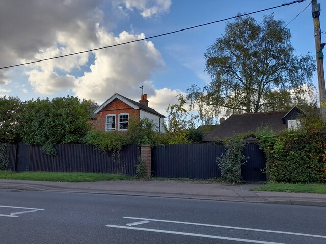
Bye Green is a close-knit community with a population of around 500 people. The village is characterized by its charming cottages and traditional architecture, which adds to its quaint and timeless appeal. It exudes a sense of serenity, making it a desirable place to live for those seeking a peaceful and idyllic lifestyle.
The village has a small primary school and a local community hall, which serves as a hub for various social activities and events. There are also a few local shops and amenities, providing essential services to the residents.
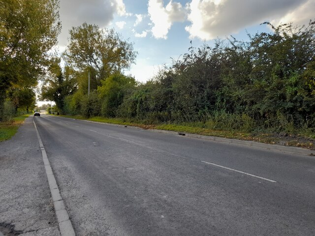
For nature enthusiasts, Bye Green offers ample opportunities for outdoor activities. The surrounding countryside is perfect for leisurely walks, cycling, and horse riding, with numerous footpaths and bridleways to explore. The nearby Wendover Woods and Coombe Hill are popular destinations for those seeking more challenging hikes and panoramic views.
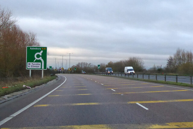
Despite its tranquil setting, Bye Green benefits from its proximity to larger towns and cities. Aylesbury, with its wider range of amenities, is just a short drive away, while London can be easily reached by train in under an hour.
Overall, Bye Green is a charming village that combines natural beauty with a strong sense of community, making it an attractive place to live or visit for those seeking a peaceful and rural lifestyle.
If you have any feedback on the listing, please let us know in the comments section below.
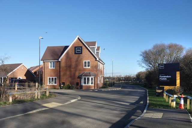
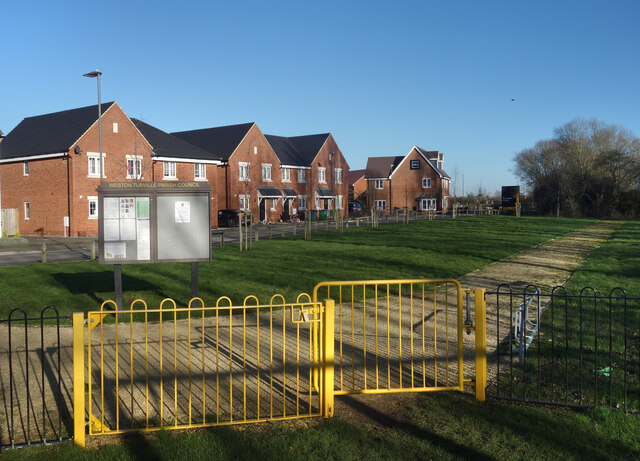
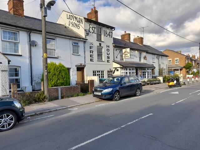
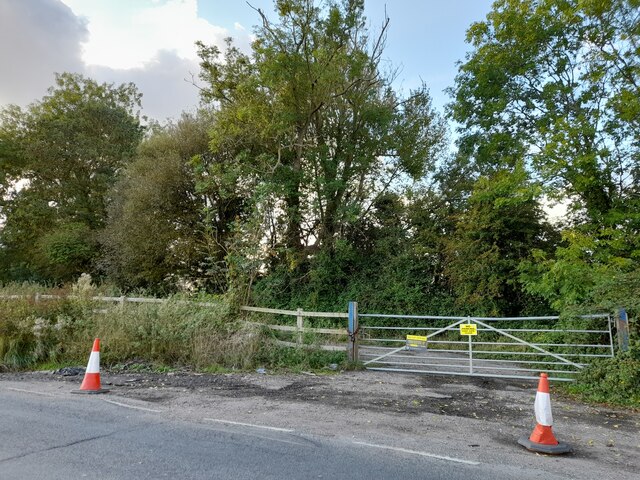
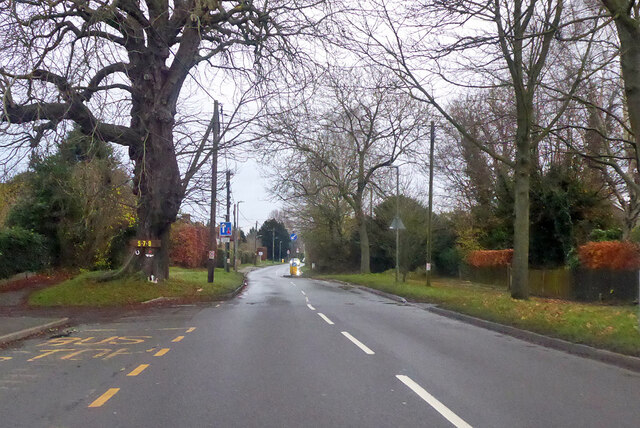
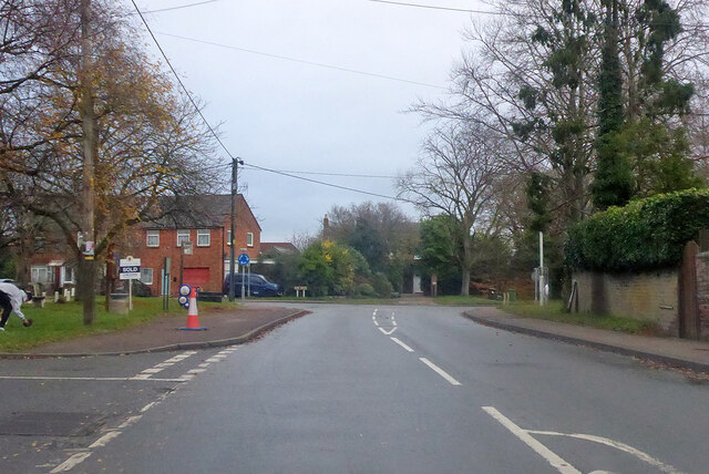
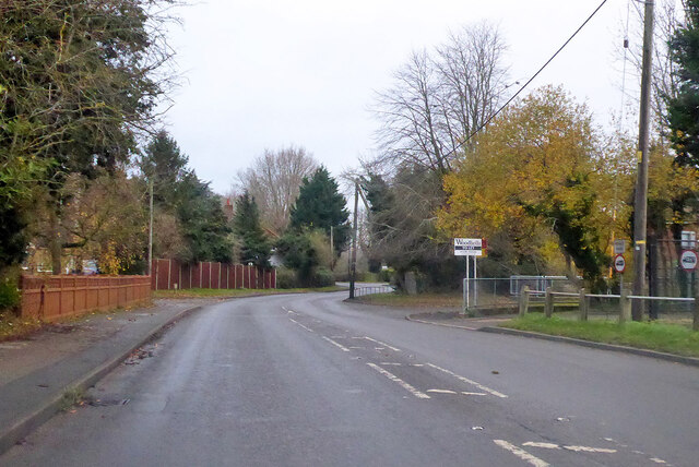
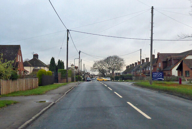
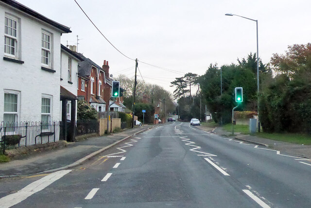
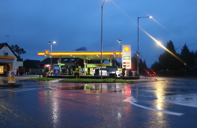
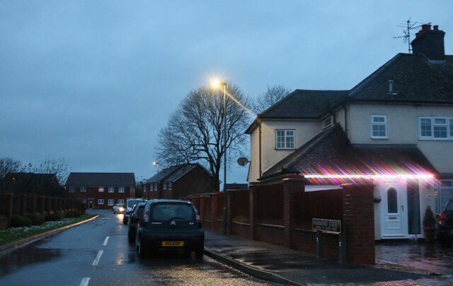
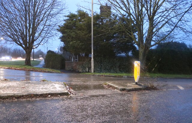
Bye Green Images
Images are sourced within 2km of 51.791054/-0.7544921 or Grid Reference SP8611. Thanks to Geograph Open Source API. All images are credited.
Bye Green is located at Grid Ref: SP8611 (Lat: 51.791054, Lng: -0.7544921)
Unitary Authority: Buckinghamshire
Police Authority: Thames Valley
What 3 Words
///outbid.depend.clotting. Near Weston Turville, Buckinghamshire
Nearby Locations
Related Wikis

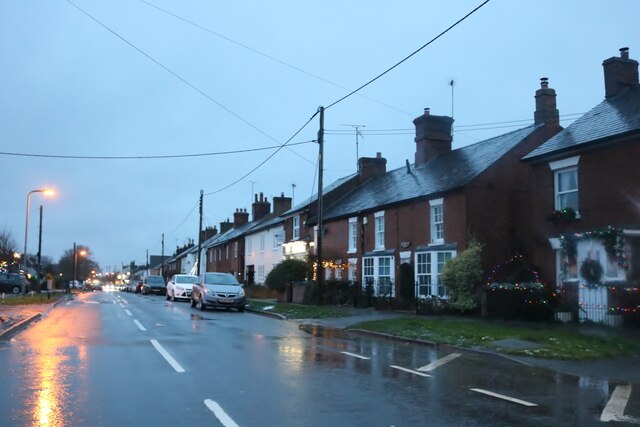
Weston Turville
Weston Turville is a historic village and civil parish in the Vale of Aylesbury in Buckinghamshire, England. The village is at the foot of the Chiltern...
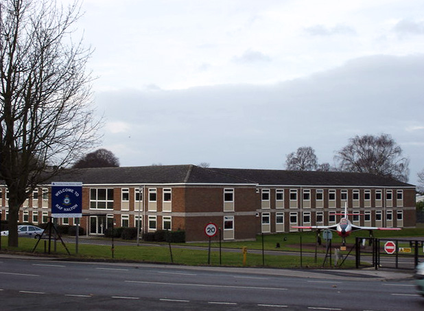
RAF Halton
Royal Air Force Halton, or more simply RAF Halton, is one of the largest Royal Air Force stations in the United Kingdom. It is located near the village...
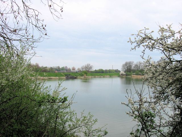
Weston Turville Reservoir
Weston Turville Reservoir is a 19 hectare biological Site of Special Scientific Interest south of Weston Turville in Buckinghamshire. It is owned by the...

Halton, Buckinghamshire
Halton is a small village and civil parish in the Buckinghamshire district of the ceremonial county of Buckinghamshire, England, located about two miles...

World's End, Buckinghamshire
World's End is a hamlet 0.5 miles (0.80 km) north of Wendover, Buckinghamshire. It is part of the civil parish of Wendover which is in Aylesbury Vale district...

Stoke Mandeville railway station
Stoke Mandeville railway station serves the village of Stoke Mandeville, south of Aylesbury in Buckinghamshire, England. The station is on the London...

St Michael and All Angels Church, Aston Clinton
St Michael and All Angels Church, Aston Clinton, Buckinghamshire, England. This beautiful 12th-century church lies within the Anglican Diocese of Oxford...

Halton House
Halton House is a country house in the Chiltern Hills above the village of Halton in Buckinghamshire, England. It was built for Alfred Freiherr de Rothschild...
Nearby Amenities
Located within 500m of 51.791054,-0.7544921Have you been to Bye Green?
Leave your review of Bye Green below (or comments, questions and feedback).