Splash Covert
Wood, Forest in Buckinghamshire
England
Splash Covert
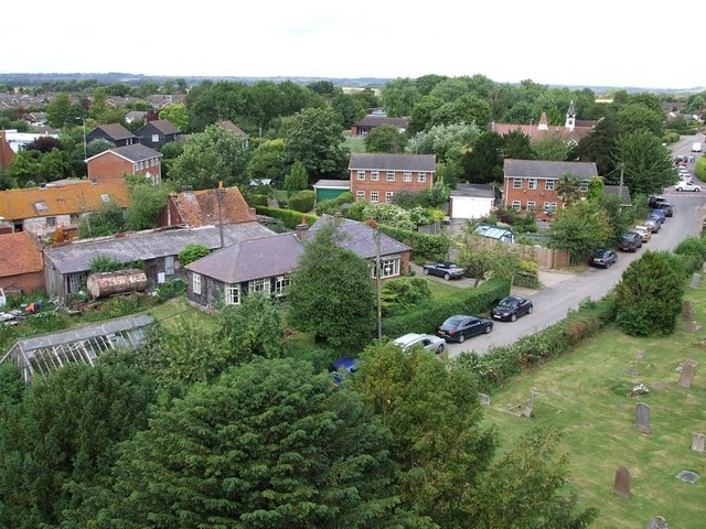
Splash Covert is a picturesque woodland area located in Buckinghamshire, England. Situated in the heart of the county, near the town of Buckingham, this woodland is a popular destination for nature enthusiasts and outdoor adventurers alike.
Covering an area of approximately 50 acres, Splash Covert is characterized by its dense, ancient woodland, consisting primarily of native broadleaf trees such as oak, beech, and birch. The woodland floor is covered with a rich carpet of wildflowers, including bluebells, wood anemones, and primroses, providing a stunning display of color in the spring and summer months.
The woodland is intersected by a network of footpaths and trails, allowing visitors to explore and discover its hidden treasures. These paths lead to various points of interest, including a tranquil pond, where visitors can spot a variety of wildlife such as ducks, dragonflies, and even the occasional otter.
Splash Covert offers a peaceful retreat from the bustling towns and cities nearby. The serene atmosphere and natural beauty make it an ideal spot for walking, picnicking, or simply enjoying the tranquility of nature. The woodland is also a haven for birdwatchers, with a wide array of bird species calling it home, including woodpeckers, nuthatches, and tawny owls.
Managed by the local authorities, Splash Covert is well-maintained, with benches and picnic tables scattered throughout the woodland, providing resting spots and spaces for visitors to enjoy a packed lunch or simply admire the surroundings.
In conclusion, Splash Covert is a charming woodland area in Buckinghamshire that offers a peaceful and picturesque escape for nature lovers. Its diverse flora and fauna, coupled with its well-maintained trails and amenities, make it a must-visit destination for those seeking a connection with nature.
If you have any feedback on the listing, please let us know in the comments section below.
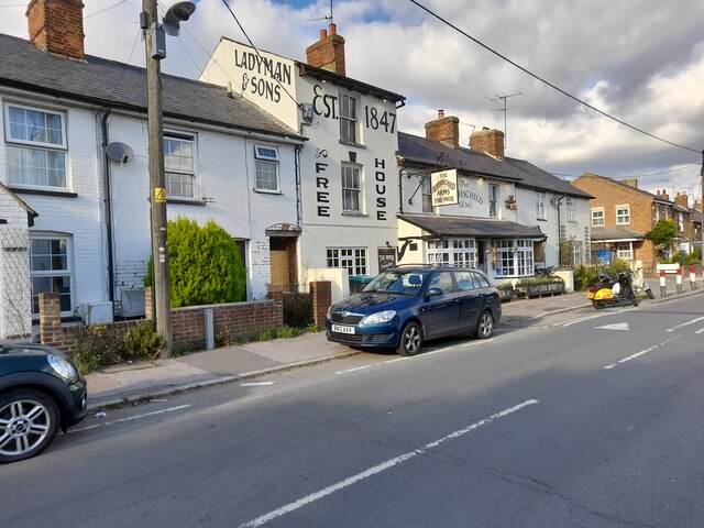
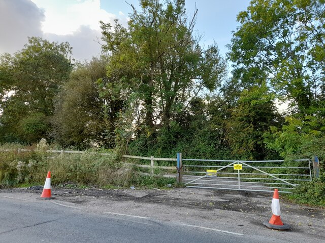
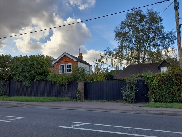
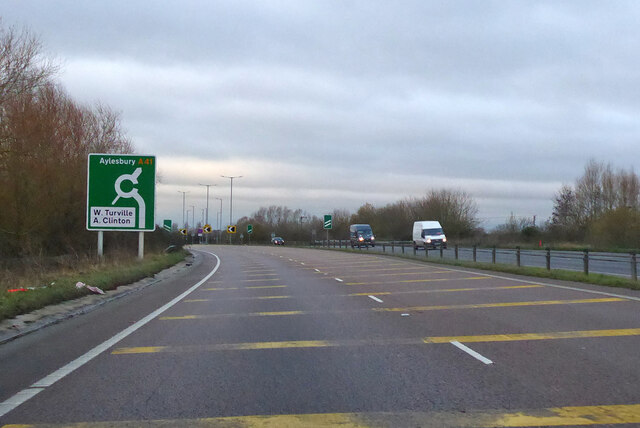
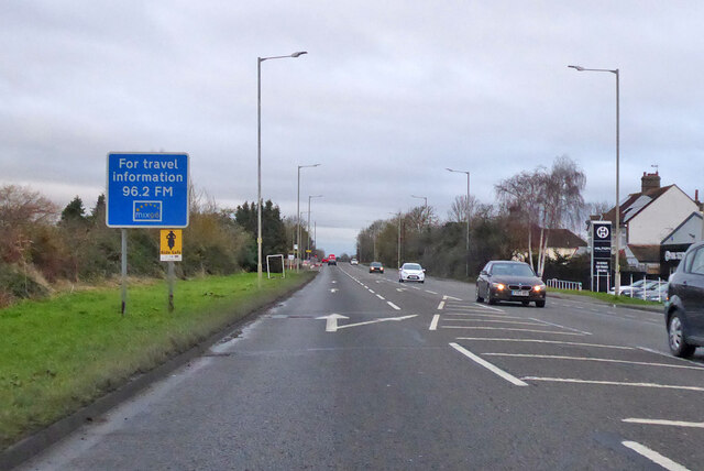
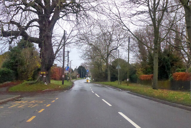
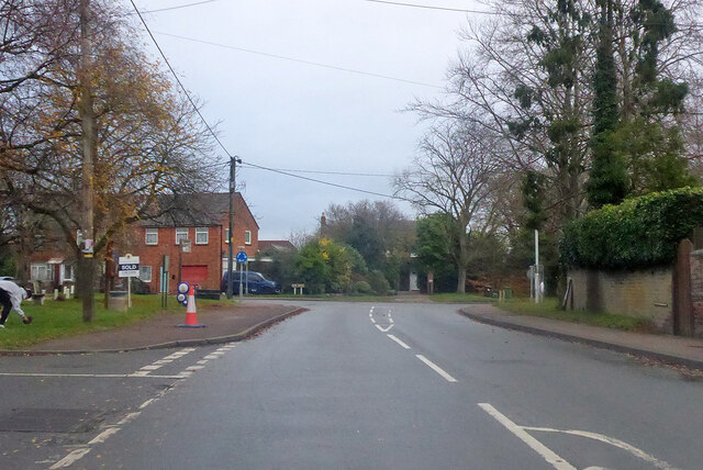
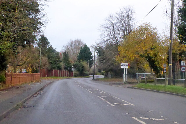
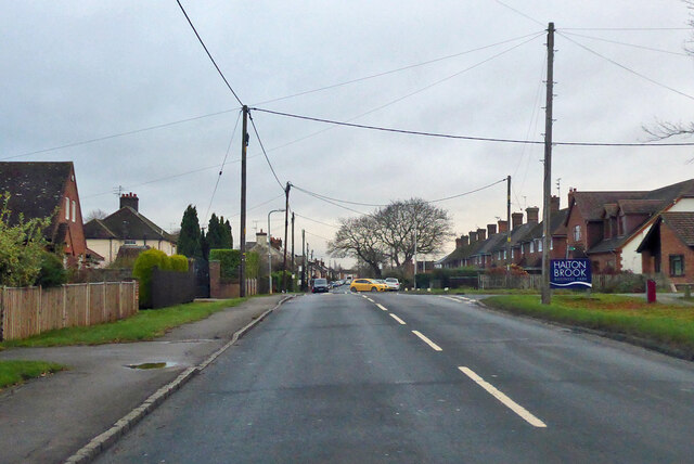
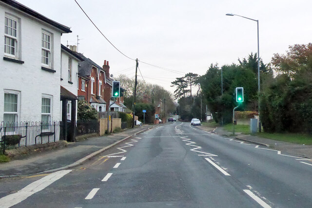
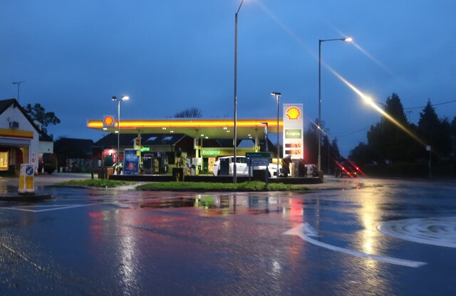
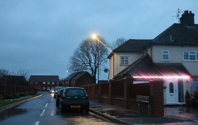
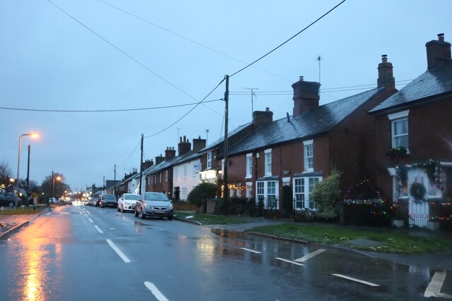
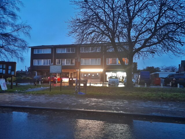
Splash Covert Images
Images are sourced within 2km of 51.79684/-0.74229664 or Grid Reference SP8611. Thanks to Geograph Open Source API. All images are credited.


Splash Covert is located at Grid Ref: SP8611 (Lat: 51.79684, Lng: -0.74229664)
Unitary Authority: Buckinghamshire
Police Authority: Thames Valley
What 3 Words
///each.interlude.escaping. Near Aston Clinton, Buckinghamshire
Nearby Locations
Related Wikis
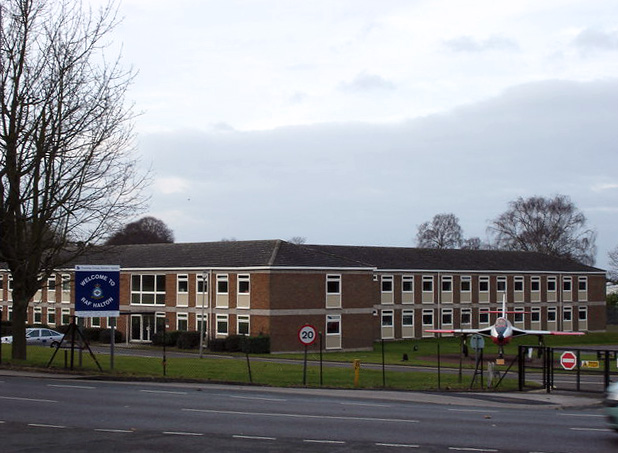
RAF Halton
Royal Air Force Halton, or more simply RAF Halton, is one of the largest Royal Air Force stations in the United Kingdom. It is located near the village...

St Michael and All Angels Church, Aston Clinton
St Michael and All Angels Church, Aston Clinton, Buckinghamshire, England. This beautiful 12th-century church lies within the Anglican Diocese of Oxford...

Weston Turville
Weston Turville is a historic village and civil parish in the Vale of Aylesbury in Buckinghamshire, England. The village is at the foot of the Chiltern...
Aston Clinton
Aston Clinton is a historic village and civil parish in the Vale of Aylesbury in Buckinghamshire, England. The village lies at the foot of the Chiltern...

Aston Clinton House
Aston Clinton House (also known as Green Park though referred to as simply Aston Clinton by the Rothschild family) was a large mansion to the south-east...

Halton, Buckinghamshire
Halton is a small village and civil parish in the Buckinghamshire district of the ceremonial county of Buckinghamshire, England, located about two miles...
Arla Aylesbury
Arla Aylesbury is the largest dairy in the UK; at opening it was the world's biggest dairy, processing over 1.75 billion pints (1 billion litres) of milk...

Halton House
Halton House is a country house in the Chiltern Hills above the village of Halton in Buckinghamshire, England. It was built for Alfred Freiherr de Rothschild...
Nearby Amenities
Located within 500m of 51.79684,-0.74229664Have you been to Splash Covert?
Leave your review of Splash Covert below (or comments, questions and feedback).