Coity Castle
Heritage Site in Glamorgan
Wales
Coity Castle
Coity Castle, located in the county of Glamorgan, Wales, is a prominent heritage site that attracts visitors from all over the world. This medieval castle is steeped in history and offers a glimpse into the past, with its impressive ruins and architectural features.
Originally built in the 12th century by the de Turberville family, Coity Castle was primarily a defensive structure, serving as a stronghold for the local lords. The castle underwent several expansions and modifications over the centuries, reflecting the changing needs and tastes of its owners. The remains of the castle consist of a large stone keep, a curtain wall, and a circular tower, all of which provide a fascinating insight into medieval architecture.
Visitors to Coity Castle can explore the castle's grounds and witness the impressive remains, including the well-preserved gatehouse. The castle offers breathtaking views of the surrounding countryside, making it a popular spot for photography enthusiasts and nature lovers.
The castle is also known for its historical significance. It played a role in several key moments in Welsh history, including the Glyndŵr Rising of the early 15th century. Today, Coity Castle is managed by Cadw, the Welsh government's historic environment service, which ensures its preservation and accessibility for visitors.
With its rich history, stunning architecture, and picturesque location, Coity Castle is a must-visit destination for those interested in Welsh heritage and medieval history. Whether exploring the ruins or simply enjoying the tranquil surroundings, this heritage site offers a unique and memorable experience for all visitors.
If you have any feedback on the listing, please let us know in the comments section below.
Coity Castle Images
Images are sourced within 2km of 51.5221/-3.5534 or Grid Reference SS9281. Thanks to Geograph Open Source API. All images are credited.


Coity Castle is located at Grid Ref: SS9281 (Lat: 51.5221, Lng: -3.5534)
Unitary Authority: Bridgend
Police Authority: South Wales
Also known as: Castell Coety
What 3 Words
///eating.leap.beast. Near Coity, Bridgend
Nearby Locations
Related Wikis

St Mary's Church, Coity Higher
St Mary's Church is a Grade I listed church in Coity Higher, Bridgend County Borough, southern Wales. The church is dated mainly to the 14th century, though...

Coity Castle
Coity Castle (Welsh: Castell Coety) in Glamorgan, Wales, is a Norman castle built by Sir Payn "the Demon" de Turberville (fl. 1126), one of the legendary...

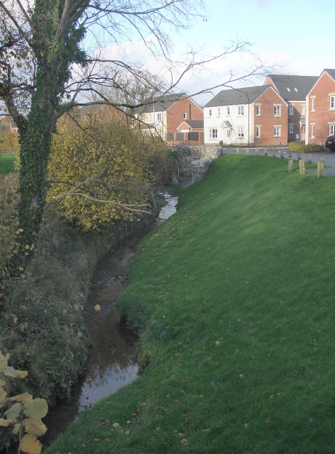
Coity Higher
Coity Higher is a community in Bridgend County Borough, south Wales. It contains the north western suburbs of Bridgend which includes the villages of Litchard...
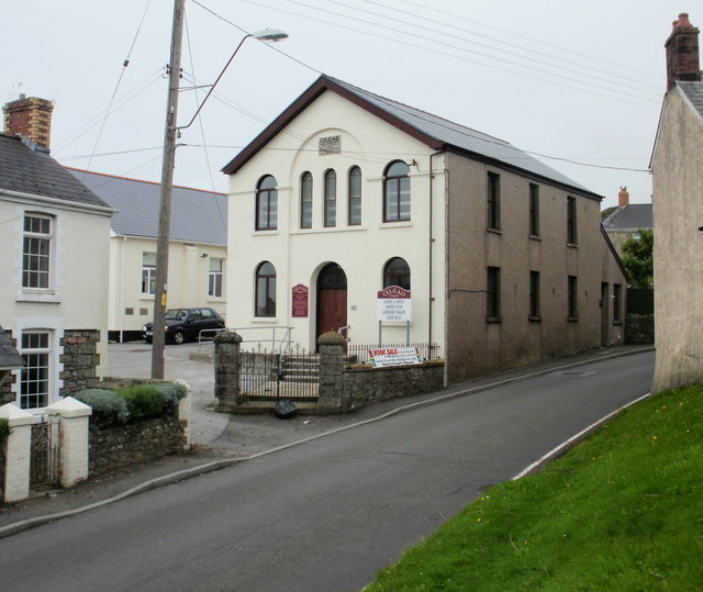
Coity
Coity is a village in Bridgend County Borough, south Wales, part of Bridgend town urban area. Coity is part of the community of Coity Higher and is notable...
Brackla
Brackla (Welsh: Bracla) is a large housing estate and community in the east of Bridgend in Bridgend County Borough, Wales. Along with the communities of...
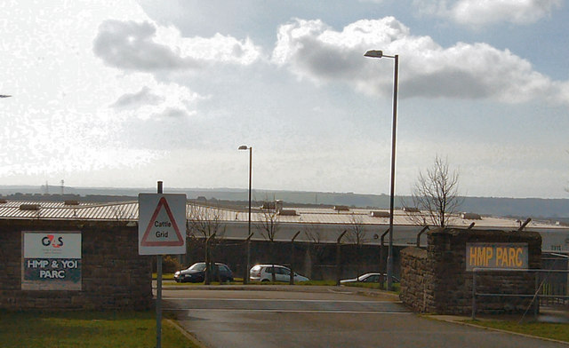
HM Prison Parc
HM Prison Parc (Welsh: Carchar Parc EF) is a Category B men's private prison and Young Offenders Institution in Bridgend, Mid Glamorgan, Wales. It is operated...

Parc Hospital
Parc Hospital (Welsh: Ysbyty Parc) was a mental health facility at Bridgend in Wales. == History == Parc Gwyllt Farm and Gelliau Farm were identified in...
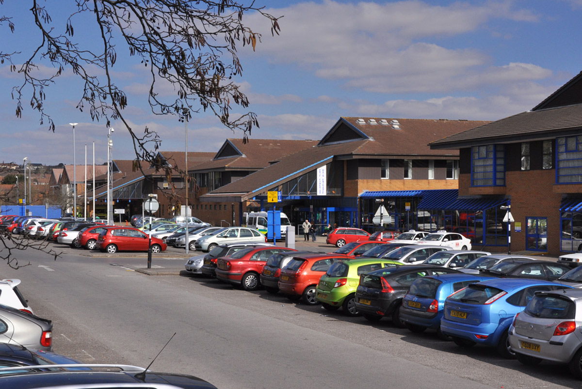
Princess of Wales Hospital
The Princess of Wales Hospital (Welsh: Ysbyty Tywysoges Cymru) is a district general hospital in Bridgend, Wales. It is managed by Cwm Taf Morgannwg University...
Nearby Amenities
Located within 500m of 51.5221,-3.5534Have you been to Coity Castle?
Leave your review of Coity Castle below (or comments, questions and feedback).