Coity
Settlement in Glamorgan
Wales
Coity

Coity is a historic village located in the county of Glamorgan, Wales. Situated just north of the town of Bridgend, Coity is known for its rich history and charming rural setting.
The village is centered around the imposing Coity Castle, a medieval fortress that was originally built in the 12th century. The castle is a prominent landmark and is a popular tourist attraction, offering visitors a glimpse into the region's past. The ruins of the castle stand majestically on a hill, overlooking the village and surrounding countryside.
Coity is a close-knit community with a population of approximately 5,000 residents. The village has a traditional Welsh charm, with picturesque cottages and narrow, winding streets. It offers a peaceful and idyllic setting, surrounded by rolling hills and lush green fields.
The village has a range of amenities, including a local primary school, a church, and several small shops and businesses. It also benefits from its proximity to Bridgend, where residents have access to a wider range of services and facilities.
Coity is well-connected to the rest of Glamorgan and beyond, with good road links to nearby towns and cities. The M4 motorway is easily accessible from the village, providing convenient access to Cardiff and Swansea.
Overall, Coity is a delightful village that offers a blend of history, natural beauty, and community spirit. It is a place where residents can enjoy a peaceful and rural lifestyle, while still being within easy reach of larger urban areas.
If you have any feedback on the listing, please let us know in the comments section below.
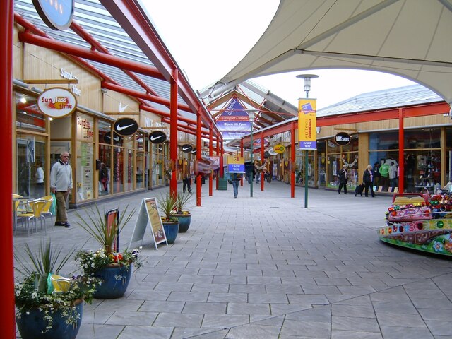
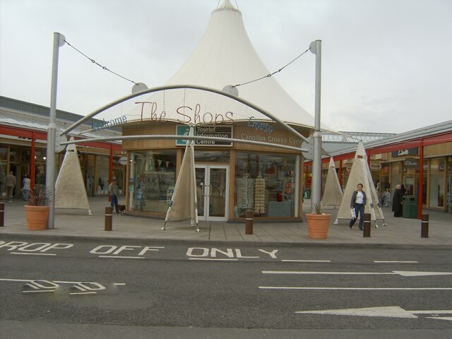
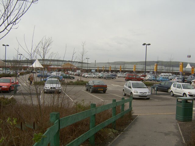
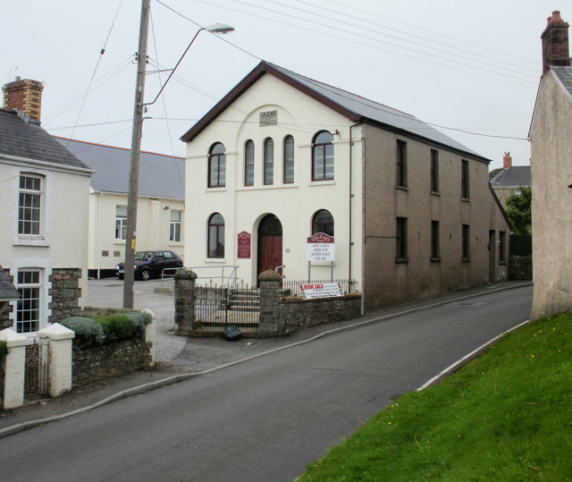
Coity Images
Images are sourced within 2km of 51.524122/-3.554856 or Grid Reference SS9281. Thanks to Geograph Open Source API. All images are credited.


Coity is located at Grid Ref: SS9281 (Lat: 51.524122, Lng: -3.554856)
Unitary Authority: Bridgend
Police Authority: South Wales
Also known as: Coety
What 3 Words
///caring.feast.guards. Near Coity, Bridgend
Nearby Locations
Related Wikis

St Mary's Church, Coity Higher
St Mary's Church is a Grade I listed church in Coity Higher, Bridgend County Borough, southern Wales. The church is dated mainly to the 14th century, though...

Coity Castle
Coity Castle (Welsh: Castell Coety) in Glamorgan, Wales, is a Norman castle built by Sir Payn "the Demon" de Turberville (fl. 1126), one of the legendary...

Coity Higher
Coity Higher is a community in Bridgend County Borough, south Wales. It contains the north western suburbs of Bridgend which includes the villages of Litchard...
Coity
Coity is a village in Bridgend County Borough, south Wales, part of Bridgend town urban area. Coity is part of the community of Coity Higher and is notable...
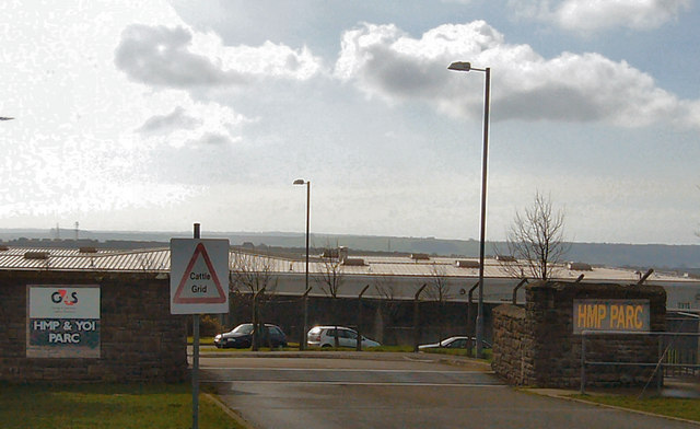
HM Prison Parc
HM Prison Parc (Welsh: Carchar Parc EF) is a Category B men's private prison and Young Offenders Institution in Bridgend, Mid Glamorgan, Wales. It is operated...

Parc Hospital
Parc Hospital (Welsh: Ysbyty Parc) was a mental health facility at Bridgend in Wales. == History == Parc Gwyllt Farm and Gelliau Farm were identified in...
Brackla
Brackla (Welsh: Bracla) is a large housing estate and community in the east of Bridgend in Bridgend County Borough, Wales. Along with the communities of...
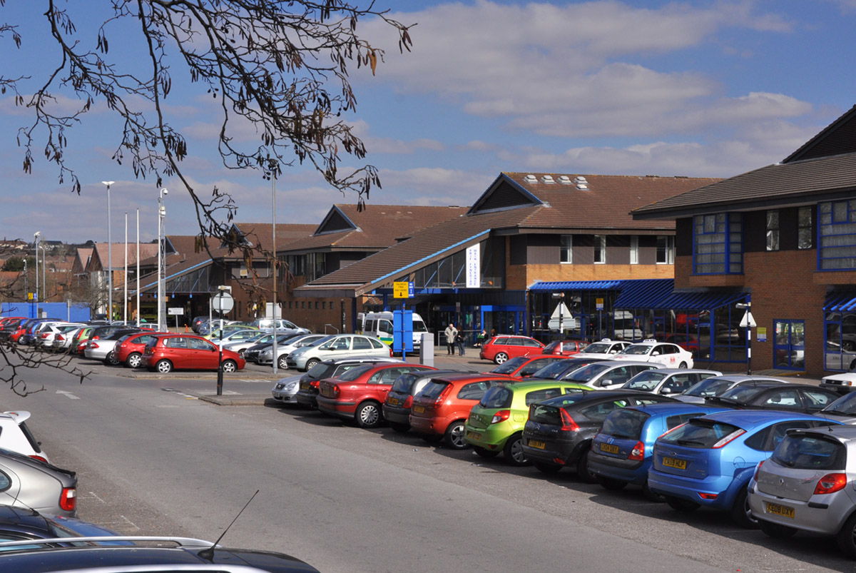
Princess of Wales Hospital
The Princess of Wales Hospital (Welsh: Ysbyty Tywysoges Cymru) is a district general hospital in Bridgend, Wales. It is managed by Cwm Taf Morgannwg University...
Nearby Amenities
Located within 500m of 51.524122,-3.554856Have you been to Coity?
Leave your review of Coity below (or comments, questions and feedback).