Coffee Hall
Settlement in Buckinghamshire
England
Coffee Hall
Coffee Hall is a small residential area located in the town of Milton Keynes, Buckinghamshire, England. Situated in the northeastern part of the town, it is bordered by the A5 road to the north and the H6 Childs Way to the south. The area is primarily a housing estate, characterized by a mix of semi-detached and terraced houses.
Originally developed in the 1970s, Coffee Hall has undergone various changes and improvements over the years. The estate offers a range of amenities to its residents, including a local primary school, a community center, and several green spaces such as Coffee Hall Park. The park provides recreational areas, with playgrounds, sports facilities, and open fields for outdoor activities.
Coffee Hall benefits from its proximity to the nearby shopping center of Central Milton Keynes, which offers a wide range of retail and entertainment options, including restaurants, cafes, and shops. The area is well-served by public transportation, with regular bus services connecting it to other parts of Milton Keynes.
While Coffee Hall is primarily a residential area, it also has a small industrial estate located to the east of the neighborhood, providing employment opportunities for local residents. The area is known for its diverse and vibrant community, creating a welcoming atmosphere for residents and visitors alike.
Overall, Coffee Hall offers a peaceful and convenient location for those seeking a residential area with easy access to amenities and transport links in Milton Keynes.
If you have any feedback on the listing, please let us know in the comments section below.
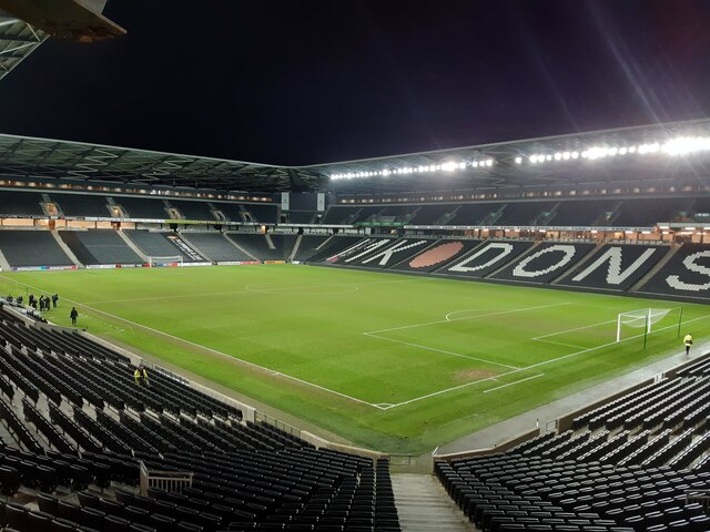
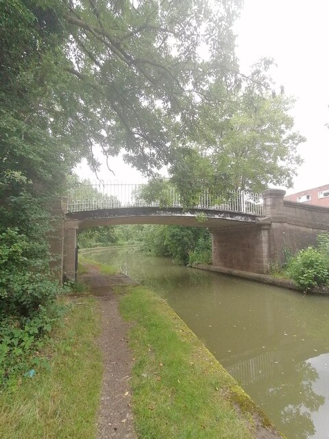
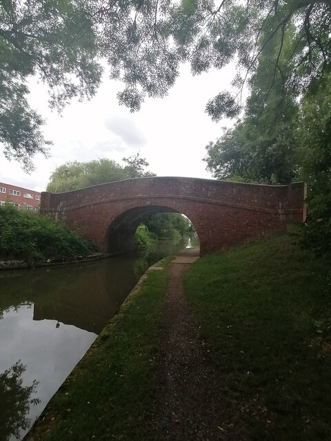
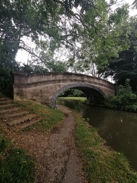
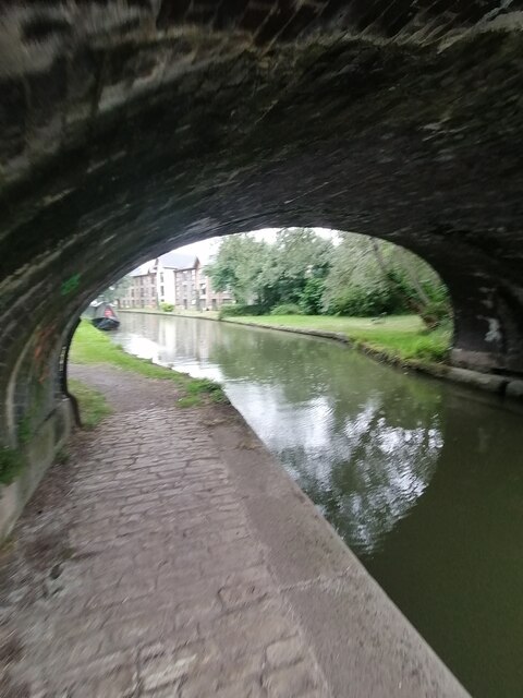
Coffee Hall Images
Images are sourced within 2km of 52.019635/-0.749396 or Grid Reference SP8536. Thanks to Geograph Open Source API. All images are credited.


Coffee Hall is located at Grid Ref: SP8536 (Lat: 52.019635, Lng: -0.749396)
Unitary Authority: Milton Keynes
Police Authority: Thames Valley
What 3 Words
///rods.zeal.spout. Near Milton Keynes, Buckinghamshire
Nearby Locations
Related Wikis

Milton Keynes College
Milton Keynes College is a general further education and training college, serving the City of Milton Keynes. It also serves the surrounding areas (northern...

St Paul's Catholic School, Milton Keynes
St Paul's Catholic School is a comprehensive co-educational secondary school in Leadenhall, Milton Keynes, England. It has specialist science and language...

National Bowl
The National Bowl (originally the Milton Keynes Bowl) is an entertainment venue located in Milton Keynes, Buckinghamshire, England. The site was a former...
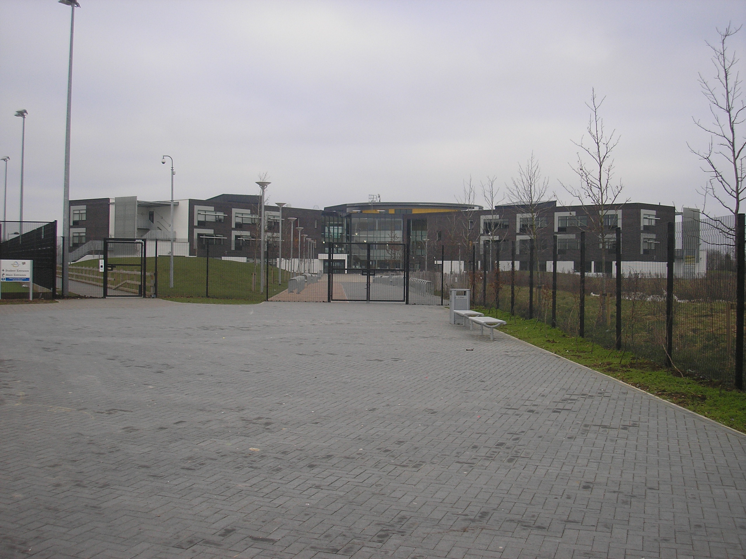
Milton Keynes Academy
Milton Keynes Academy (formerly known as the Sir Frank Markham Community School), is a secondary school in Leadenhall, Milton Keynes, United Kingdom....
Nearby Amenities
Located within 500m of 52.019635,-0.749396Have you been to Coffee Hall?
Leave your review of Coffee Hall below (or comments, questions and feedback).