Elfield Park

Settlement in Buckinghamshire

England

Elfield Park

Stadium MK in Milton Keynes Stadium MK is home to the MK Dons.
Stadium MK in Milton Keynes Credit: Steve Daniels

Elfield Park is a charming residential area located in Buckinghamshire, England. Situated on the outskirts of the town of High Wycombe, Elfield Park boasts a peaceful and picturesque setting, making it an ideal place to live.

The park is characterized by its well-maintained green spaces and beautiful tree-lined streets. It offers a range of housing options, including detached houses, semi-detached houses, and bungalows, catering to various needs and preferences. The properties in Elfield Park are known for their architectural diversity, blending modern designs with traditional styles.

Residents of Elfield Park enjoy convenient access to a range of amenities. The nearby town of High Wycombe offers a wide selection of shops, restaurants, and leisure facilities. The area is also well-served by public transportation, with regular bus services connecting Elfield Park to the town center and surrounding areas.

Nature enthusiasts and outdoor lovers will appreciate the park's proximity to the stunning Chiltern Hills, an Area of Outstanding Natural Beauty. The hills provide ample opportunities for hiking, biking, and exploring the countryside.

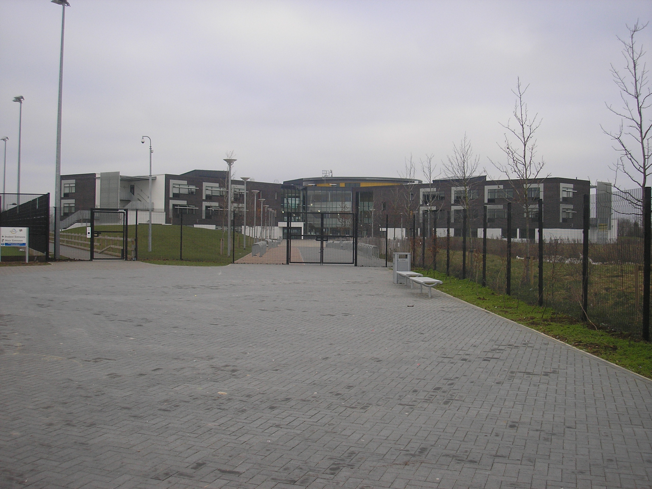
Families with children will find Elfield Park to be an excellent place to raise a family. The area is home to several well-regarded schools, including primary and secondary options. Additionally, there are several parks and playgrounds in the vicinity, offering safe spaces for children to play and socialize.

Overall, Elfield Park offers a tranquil and family-friendly environment, combined with convenient access to amenities and natural beauty, making it an attractive place to reside in Buckinghamshire.

If you have any feedback on the listing, please let us know in the comments section below.
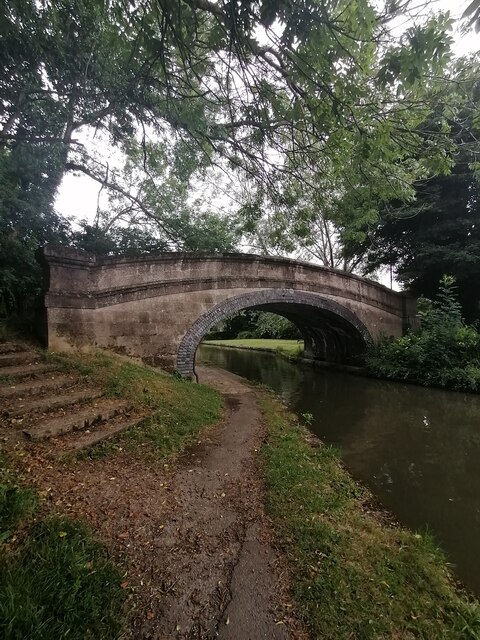
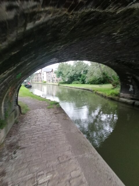
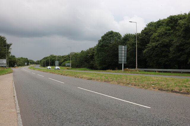
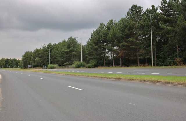
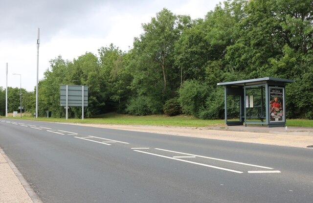
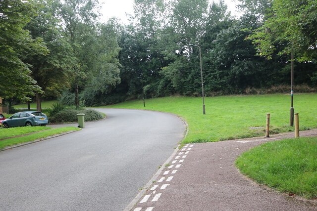
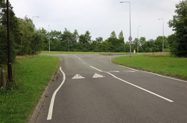
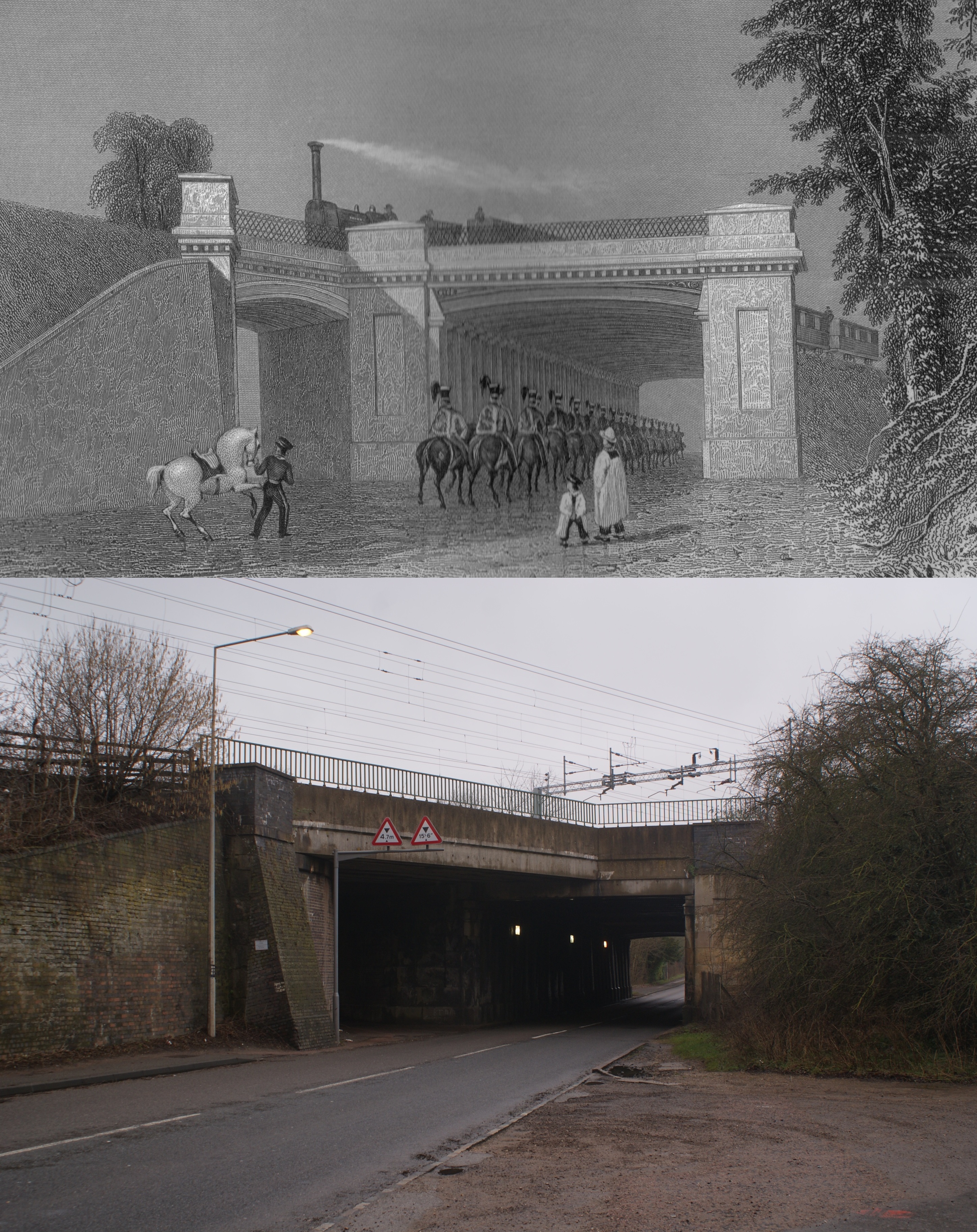
Elfield Park Images

Images are sourced within 2km of 52.016926/-0.75368003 or Grid Reference SP8536. Thanks to Geograph Open Source API. All images are credited.

Stadium MK in Milton Keynes Stadium MK is home to the MK Dons.
Stadium MK in Milton Keynes
Stadium MK is home to the MK Dons.
The West Stand in Stadium MK Stadium MK is home to the MK Dons.
The West Stand in Stadium MK
Stadium MK is home to the MK Dons.
The East Stand in Stadium MK Stadium MK is home to the MK Dons.
The East Stand in Stadium MK
Stadium MK is home to the MK Dons.
Stadium MK in Milton Keynes Stadium MK is home to the MK Dons.
Stadium MK in Milton Keynes
Stadium MK is home to the MK Dons.
Stadium MK in Milton Keynes Stadium MK is home to the MK Dons.
Stadium MK in Milton Keynes
Stadium MK is home to the MK Dons.
Stadium MK in Milton Keynes Stadium MK is home to the MK Dons.
Stadium MK in Milton Keynes
Stadium MK is home to the MK Dons.
The North Stand in Stadium MK Stadium MK is home to the MK Dons.
The North Stand in Stadium MK
Stadium MK is home to the MK Dons.
The South Stand in Stadium MK Stadium MK is home to the MK Dons.
The South Stand in Stadium MK
Stadium MK is home to the MK Dons.
Stadium MK in Milton Keynes Stadium MK is home to the MK Dons.
Stadium MK in Milton Keynes
Stadium MK is home to the MK Dons.
Bridge 89 (Grand Union Canal) Bridge 89 carries pedestrian traffic over the canal to the community orchard.
Bridge 89 (Grand Union Canal)
Bridge 89 carries pedestrian traffic over the canal to the community orchard.
Bridge 89 (Grand Union Canal) Underneath Bridge 89 on the Grand Union Canal at Peartree Bridge
Bridge 89 (Grand Union Canal)
Underneath Bridge 89 on the Grand Union Canal at Peartree Bridge
Marlborough Street, Milton Keynes
Woodland by Marlborough Street, Milton Keynes
Groveway, Milton Keynes
Saxon Street, Milton Keynes
Robins Hill, Coffee Hall
Robins Hill at the junction of Saxon Street
Show me another place!

Elfield Park is located at Grid Ref: SP8536 (Lat: 52.016926, Lng: -0.75368003)

Unitary Authority: Milton Keynes

Police Authority: Thames Valley

What 3 Words

///windpipe.topmost.coiling. Near Shenley Church End, Buckinghamshire

Related Wikis

National Bowl

The National Bowl (originally the Milton Keynes Bowl) is an entertainment venue located in Milton Keynes, Buckinghamshire, England. The site was a former...

Milton Keynes College

Milton Keynes College is a general further education and training college, serving the City of Milton Keynes. It also serves the surrounding areas (northern...

A421 road

The A421 is an important road for east/west journeys across south central England. Together with the A428, the A43 and A34, it forms the route from Cambridge...

St Paul's Catholic School, Milton Keynes

St Paul's Catholic School is a comprehensive co-educational secondary school in Leadenhall, Milton Keynes, England. It has specialist science and language...

Denbigh Hall railway station

Denbigh Hall railway station was a temporary terminus station on the London and Birmingham Railway in the Denbigh area of what is now Milton Keynes in...

Energy World

Energy World was a demonstration project of 51 low-energy houses constructed in the Shenley Lodge area of Milton Keynes, United Kingdom. The project was...

Milton Keynes Academy

Milton Keynes Academy (formerly known as the Sir Frank Markham Community School), is a secondary school in Leadenhall, Milton Keynes, United Kingdom....

Woughton (parish)

Woughton ( WUUF-tən) is a civil parish in south central Milton Keynes, Buckinghamshire, England. The parish council uses the term Community Council.The...

Nearby Amenities

Located within 500m of 52.016926,-0.75368003
Barrier: bollard
Lat/Long: 52.0149049/-0.7594383
Traffic Calming: cushion
Lat/Long: 52.0137951/-0.7571332
Traffic Calming: cushion
Lat/Long: 52.0133227/-0.7567994
Traffic Calming: cushion
Lat/Long: 52.012548/-0.7545616
Turning Circle
Turning Circle: square
Lat/Long: 52.0134314/-0.7578416
Designation: public_bridleway
Horse: designated
Lat/Long: 52.0175264/-0.7584588
Restaurant
The Grill
Addr City: Milton Keynes
Addr Country: GB
Addr Postcode: MK5 8AA
Addr Street: Watling Street
Addr Suburb: Elfield Park
Lat/Long: 52.0147727/-0.7561951
Crossing
Kerb: lowered
Lat/Long: 52.0196957/-0.7486048
Mini Roundabout
Lat/Long: 52.01851/-0.7559125
Motorway Junction
Lat/Long: 52.0180511/-0.7474141
Give Way
Direction: forward
Lat/Long: 52.0183089/-0.7477096
Bus Stop
Bleak Hall Industrial Estate
Bus: yes
Naptan AtcoCode: 049004265550
Naptan Bearing: NW
Naptan CommonName: Bleak Hall Industrial Estate
Naptan Indicator: o/s
Naptan Landmark: N
Naptan NaptanCode: mltdwaj
Naptan PlusbusZoneRef: MKNSCEN
Naptan Street: Grafton Street V6
Naptan Verified: no
Public Transport: platform
Source: naptan_import
Lat/Long: 52.0203489/-0.751366
Bus Stop
Bleak Hall Industrial Estate
Bus: yes
Naptan AtcoCode: 049004265563
Naptan Bearing: SE
Naptan CommonName: Bleak Hall Industrial Estate
Naptan Indicator: opp
Naptan Landmark: N
Naptan NaptanCode: mltdwam
Naptan PlusbusZoneRef: MKNSCEN
Naptan Street: Grafton Street V6
Naptan Verified: no
Public Transport: platform
Source: naptan_import
Lat/Long: 52.0205964/-0.7509656
Bus Stop
Bleak Hall Roundabout North
Alt Name: Bleak Hall Industrial Estate South
Bus: yes
Naptan AltCommonName: Bleak Hall Industrial Estate South
Naptan AltStreet: Not Specified
Naptan AtcoCode: 049004595281
Naptan Bearing: SE
Naptan CommonName: Bleak Hall Roundabout North
Naptan Indicator: Southbound
Naptan Landmark: Chapter House
Naptan NaptanCode: mltgajt
Naptan PlusbusZoneRef: MKNSCEN
Naptan Street: Grafton Street V6
Naptan Verified: no
Public Transport: platform
Source: naptan_import
Lat/Long: 52.0178801/-0.7466548
Fuel
Bleak Hall Service Station
Addr City: Milton Keynes
Addr Country: GB
Addr Postcode: MK6 1LJ
Addr Street: Grafton Street
Brand: Shell
Brand Wikidata: Q110716465
Fhrs Authority: Milton Keynes
Fhrs Id: 199316
Fhrs Local Authority Id: 18513
Phone: +44 1908 242333
Ref Navads: NVDS353_10019617
Website: https://find.shell.com/gb/fuel/10019617-mfg-bleakhall
Lat/Long: 52.0213004/-0.7533387
Bleak Hall
Place: suburb
Lat/Long: 52.0206857/-0.7536764
Mini Roundabout
Direction: clockwise
Lat/Long: 52.0173088/-0.7550282
Parking
Parking: layby
Lat/Long: 52.0143321/-0.7538265
Post Box
Brand: Royal Mail
Brand Wikidata: Q638098
Brand Wikipedia: en:Royal Mail
Collection Times: Mo-Fr 18:30
Note: Franked mail only
Operator: Royal Mail
Operator Wikidata: Q638098
Post Box Type: meter
Ref: MK6 607
Royal Cypher: no
Source: survey
Lat/Long: 52.0184431/-0.7505076
Car Wash
Roni Hand Car Wash Cafe
Addr City: Milton Keynes
Addr Country: GB
Addr Postcode: MK5 8AA
Addr Street: Watling Street
Addr Suburb: Elfield Park
Automated: no
Fhrs Authority: Milton Keynes
Fhrs Id: 991254
Fhrs Local Authority Id: 88322
Self Service: no
Lat/Long: 52.0150896/-0.7574022
Cafe
Central MK Cafe
Addr City: Milton Keynes
Addr Country: GB
Addr Postcode: MK5 8AA
Addr Street: Watling Street
Addr Suburb: Elfield Park
Fhrs Authority: Milton Keynes
Fhrs Id: 1060811
Fhrs Local Authority Id: 89843
Lat/Long: 52.0149105/-0.756973
Fast Food
Kali BBQs
Addr City: Milton Keynes
Addr Country: GB
Addr Housenumber: 159
Addr Postcode: MK5 8AA
Addr Street: Watling Street
Addr Suburb: Elfield Park
Fhrs Authority: Milton Keynes
Fhrs Id: 967130
Fhrs Local Authority Id: 88059
Lat/Long: 52.0145696/-0.7556842
Fast Food
Calzone/The GrillMed/Kebab 46
Addr City: Milton Keynes
Addr Country: GB
Addr Postcode: MK5 8AA
Addr Street: Watling Street
Addr Suburb: Elfield Park
Fhrs Authority: Milton Keynes
Fhrs Id: 132156
Fhrs Local Authority Id: 63878
Lat/Long: 52.0148016/-0.7563441
Motorway Junction
Lat/Long: 52.0196697/-0.7493863
Give Way
Direction: forward
Lat/Long: 52.0196054/-0.7488616
Give Way
Direction: forward
Lat/Long: 52.0194019/-0.7488177
Information: guidepost
Tourism: information
Lat/Long: 52.0141393/-0.7585202
Crossing
Crossing: uncontrolled
Crossing Ref: zebra
Lat/Long: 52.0176338/-0.7559149
Traffic Calming: cushion
Lat/Long: 52.012963/-0.7556756
Traffic Calming: cushion
Lat/Long: 52.0129096/-0.756569
Crossing
Lat/Long: 52.0145979/-0.7563078
Crossing
Lat/Long: 52.0148282/-0.7569351
The data included in this document is from www.openstreetmap.org. The data is made available under ODbL.

Have you been to Elfield Park?

Leave your review of Elfield Park below (or comments, questions and feedback).