Eldmire
Settlement in Yorkshire Hambleton
England
Eldmire
Eldmire is a small village located in the county of Yorkshire, England. Situated in the northern part of the county, Eldmire is nestled amidst picturesque countryside, offering residents and visitors a tranquil and idyllic setting.
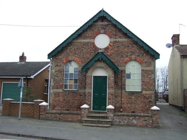
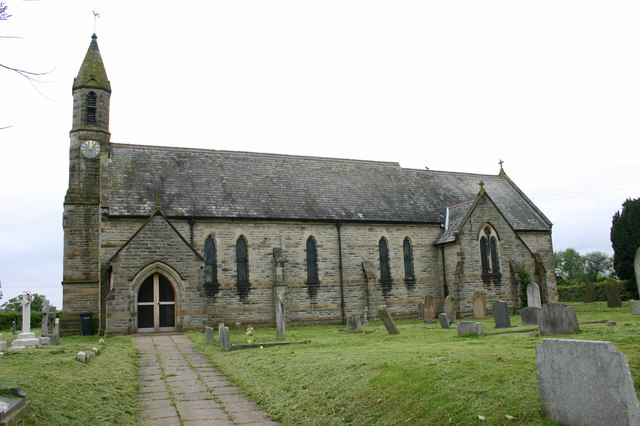
The village is known for its rich history, dating back to the medieval era. The architecture in Eldmire is a testament to its past, with charming cottages and old stone buildings dotting the landscape. The village also boasts a beautiful parish church that stands as a prominent landmark.
Despite its small size, Eldmire offers a range of amenities to its residents. The village has a primary school, a local pub, and a post office, catering to the basic needs of the community. Additionally, there are several shops and businesses that provide essential services.
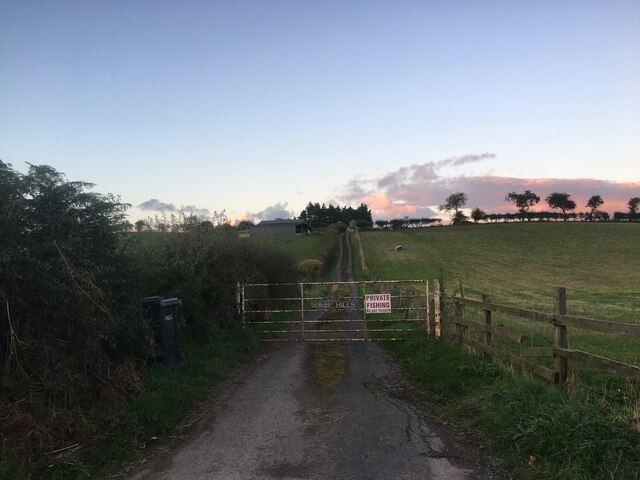
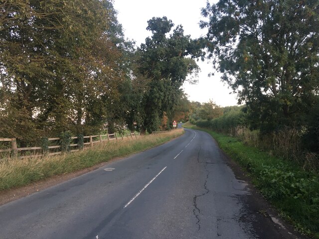
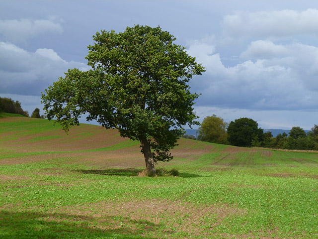
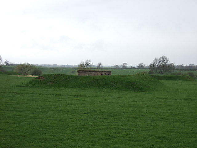
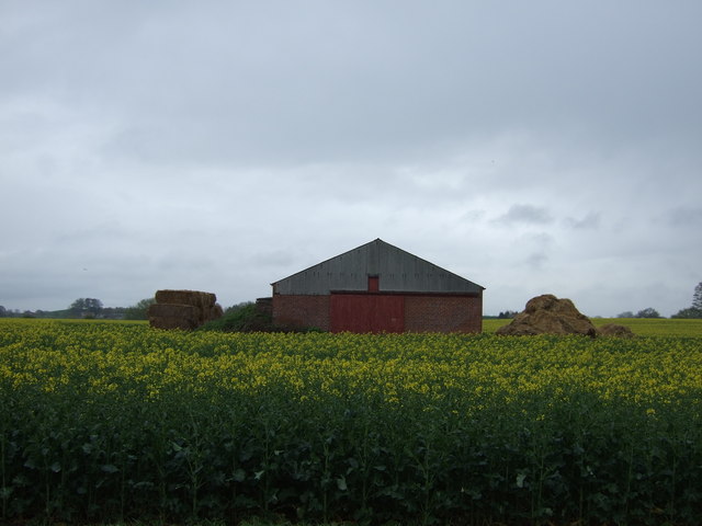
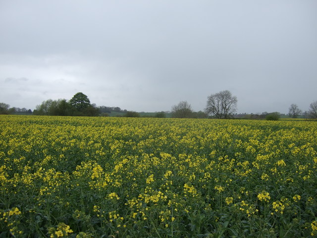
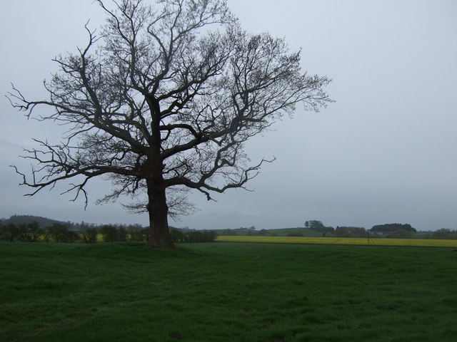
Nature lovers will find Eldmire a haven, as it is surrounded by lush green meadows, rolling hills, and ancient woodlands. The village offers numerous walking trails and pathways, allowing visitors to explore the stunning countryside and enjoy the peaceful ambiance.
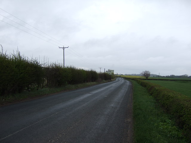
Eldmire is well-connected to other parts of Yorkshire, with good transportation links. The nearest town is just a short drive away, offering additional amenities and facilities for those seeking a wider range of services.
Overall, Eldmire is a charming and picturesque village that offers a tranquil escape from the hustle and bustle of city life. Its rich history, beautiful surroundings, and close-knit community make it a desirable place to live or visit in Yorkshire.
If you have any feedback on the listing, please let us know in the comments section below.
Eldmire Images
Images are sourced within 2km of 54.166755/-1.3559189 or Grid Reference SE4274. Thanks to Geograph Open Source API. All images are credited.


Eldmire is located at Grid Ref: SE4274 (Lat: 54.166755, Lng: -1.3559189)
Division: North Riding
Administrative County: North Yorkshire
District: Hambleton
Police Authority: North Yorkshire
What 3 Words
///monk.argued.renews. Near Thirsk, North Yorkshire
Nearby Locations
Related Wikis
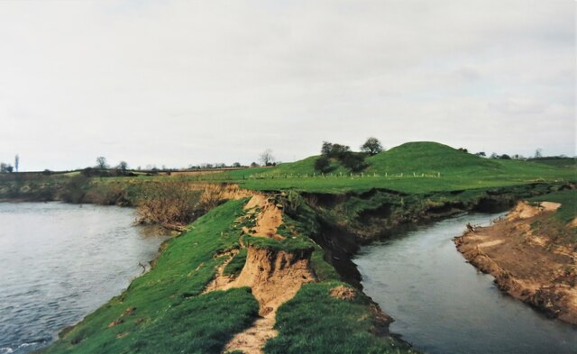
Cod Beck, North Yorkshire
Cod Beck is a river in North Yorkshire, England. It has a catchment area of 209 km2 (81 sq mi). The river extends for 20 miles (32 km) from above Cod Beck...

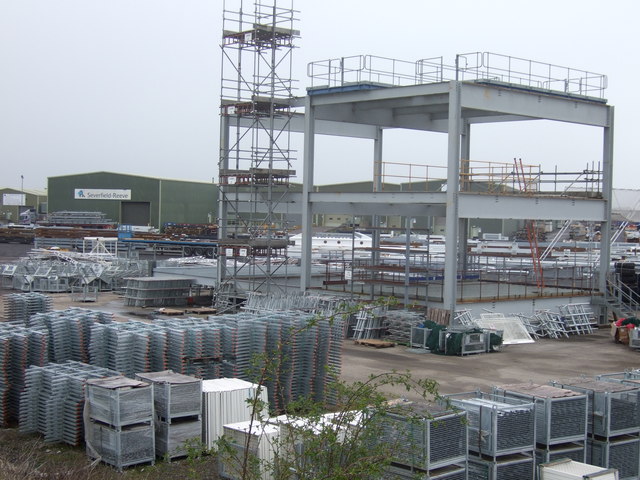
Severfield
With multiple sites in the UK, Europe and a joint venture in India, Severfield plc is the market-leading structural steelwork Group in the UK and among...
RAF Dalton
Royal Air Force Dalton or more simply RAF Dalton is a former Royal Air Force satellite station located near to Dalton, North Yorkshire, England. The airfield...

Topcliffe Castle
Topcliffe Castle (also known as Maiden's Bower) is an abandoned castle located near the village of Topcliffe, North Yorkshire, England.The castle was built...

Eldmire with Crakehill
Eldmire with Crakehill is a civil parish in the Hambleton district of North Yorkshire, England. The population of the parish was estimated at 30 in 2013...
North Yorkshire
North Yorkshire is a ceremonial county in the Yorkshire and the Humber and North East regions of England. It borders County Durham to the north, the North...
Dalton, east North Yorkshire
Dalton is a village and civil parish in the Hambleton District of North Yorkshire, England. It is about 4 miles (6.4 km) south of Thirsk and near the A168...

Cundall, North Yorkshire
Cundall is a village in the Harrogate district of North Yorkshire, England. It is one of the Thankful Villages that suffered no fatalities during World...
Have you been to Eldmire?
Leave your review of Eldmire below (or comments, questions and feedback).