Elfield Park

Urban Greenspace in Buckinghamshire

England

Elfield Park

Stadium MK in Milton Keynes Stadium MK is home to the MK Dons.
Stadium MK in Milton Keynes Credit: Steve Daniels

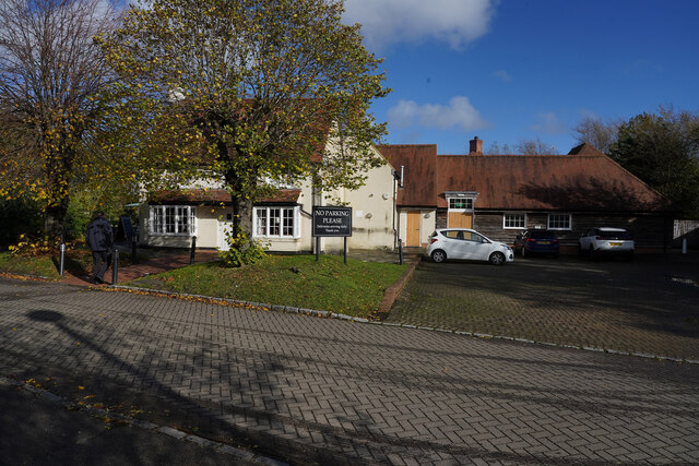
Elfield Park is a charming urban greenspace located in the heart of Buckinghamshire, England. Spanning across an area of approximately 10 acres, the park offers a tranquil and picturesque environment for both residents and visitors to enjoy.

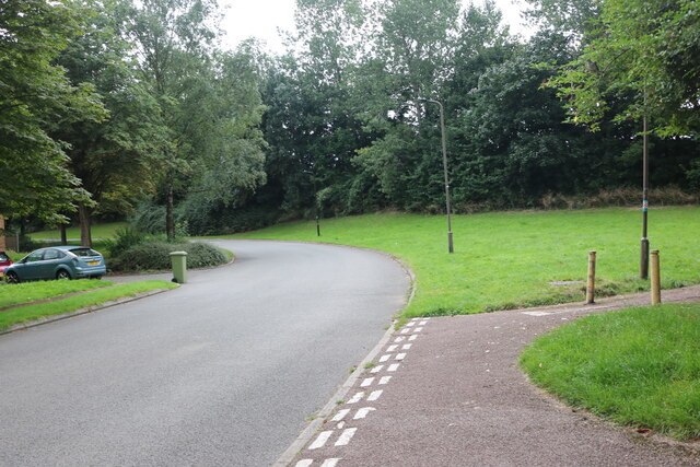
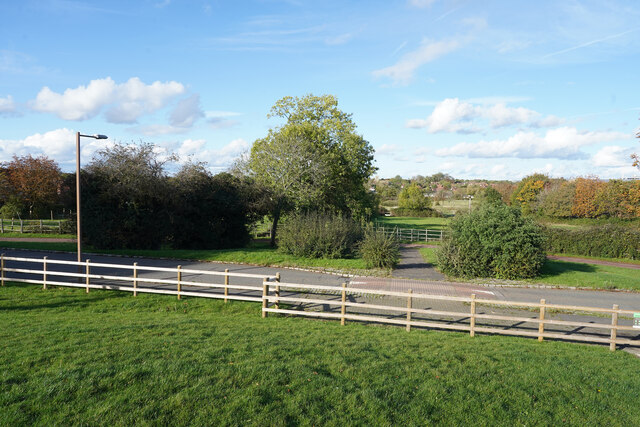
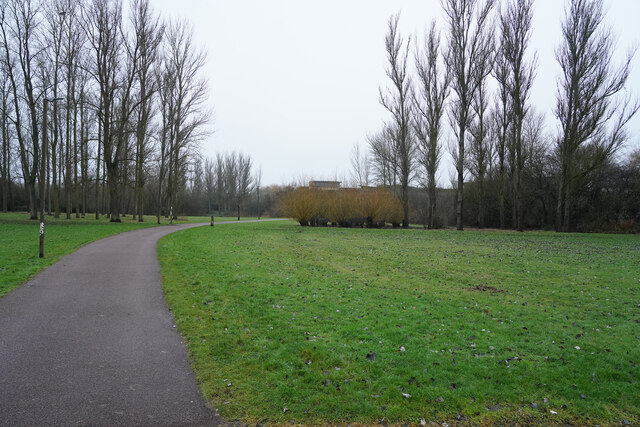
The park is well-known for its lush green lawns, vibrant flower beds, and towering trees that provide ample shade during the summer months. These natural elements create a serene atmosphere, making it an ideal spot for picnics, leisurely walks, or simply unwinding amidst nature.

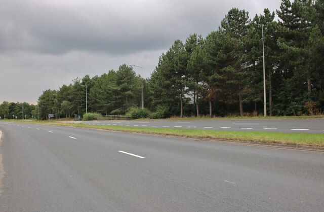
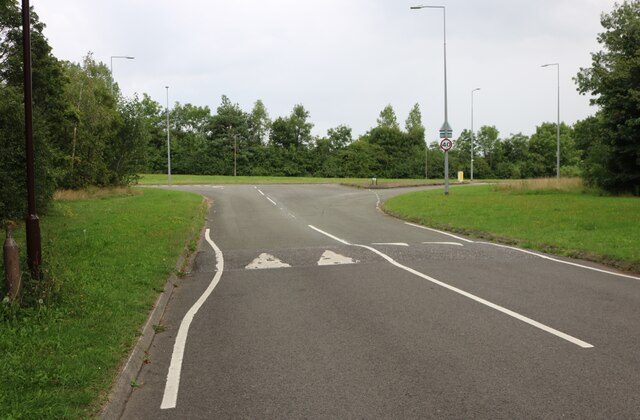
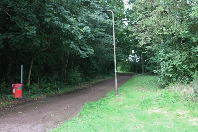
Elfield Park boasts several well-maintained pathways that meander through the park, allowing visitors to explore its various sections. Along these pathways, benches are strategically placed, providing people with the opportunity to sit and admire the beautiful surroundings. Additionally, the park features a small pond that is home to a variety of wildlife, including ducks and swans, further enhancing its natural charm.

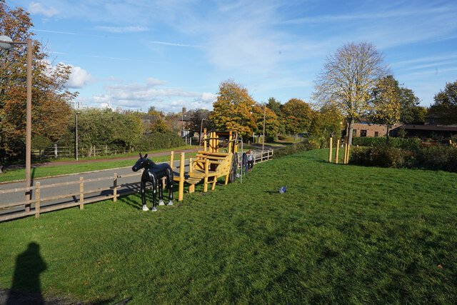
Facilities within Elfield Park include a children's play area, complete with swings, slides, and climbing frames, making it suitable for families with young children. There are also designated areas for sports activities, such as football and basketball, catering to the recreational needs of the local community.

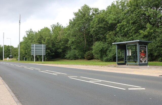
Elfield Park is conveniently located near residential areas and has ample parking spaces available. It is easily accessible by foot, bicycle, and car, ensuring that everyone can enjoy the park's offerings.

Overall, Elfield Park in Buckinghamshire is a delightful urban greenspace that provides a peaceful retreat from the bustling city life. With its well-manicured lawns, diverse flora and fauna, and various recreational amenities, it offers a wonderful place for relaxation and enjoyment for people of all ages.

If you have any feedback on the listing, please let us know in the comments section below.
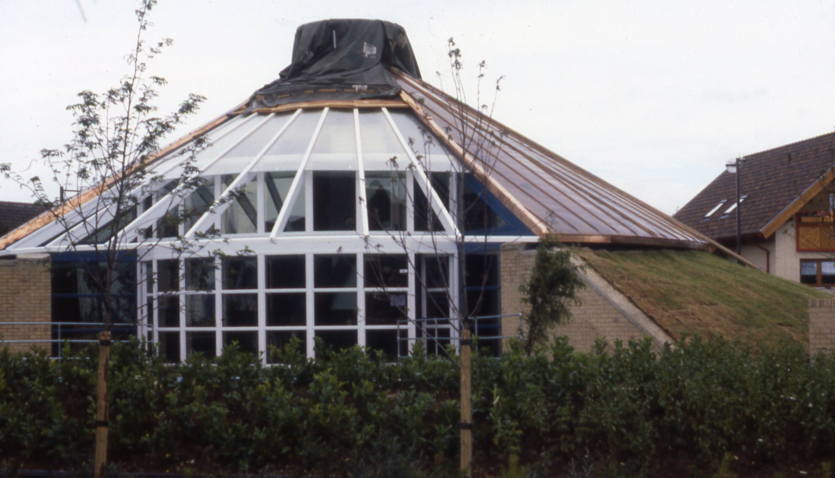
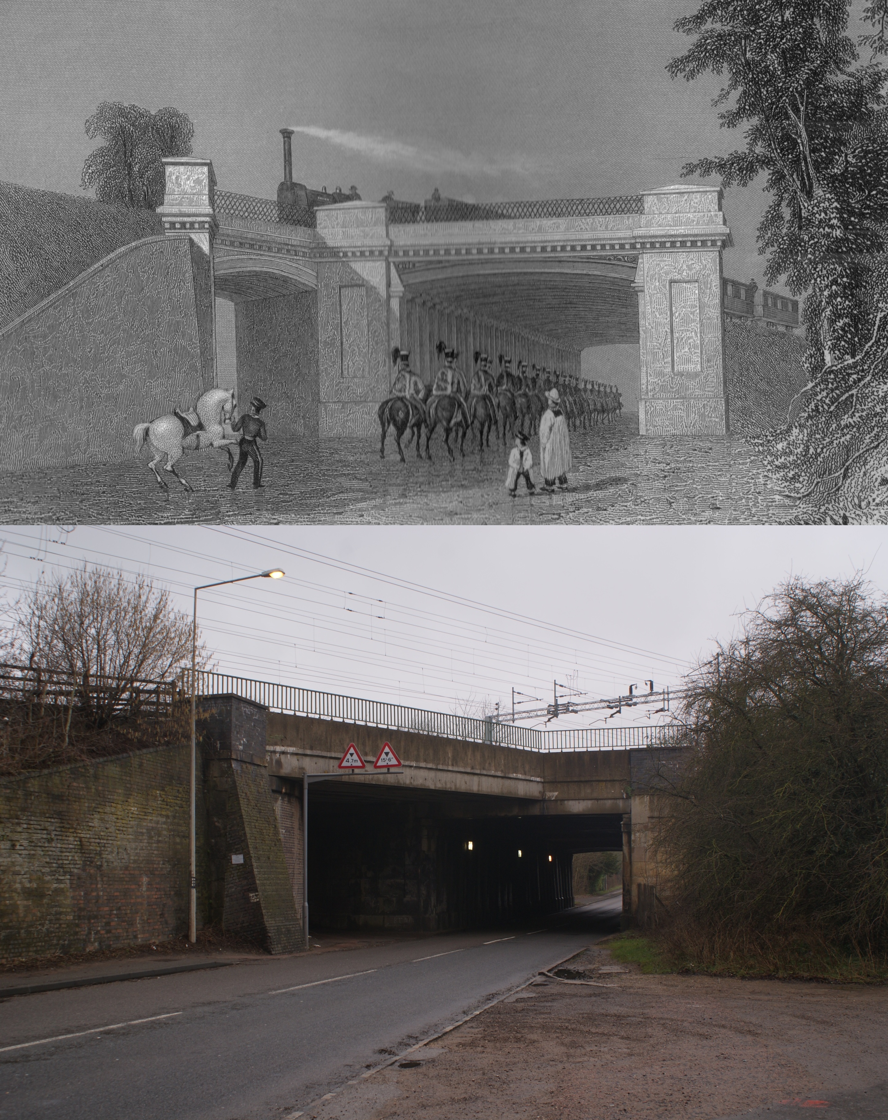
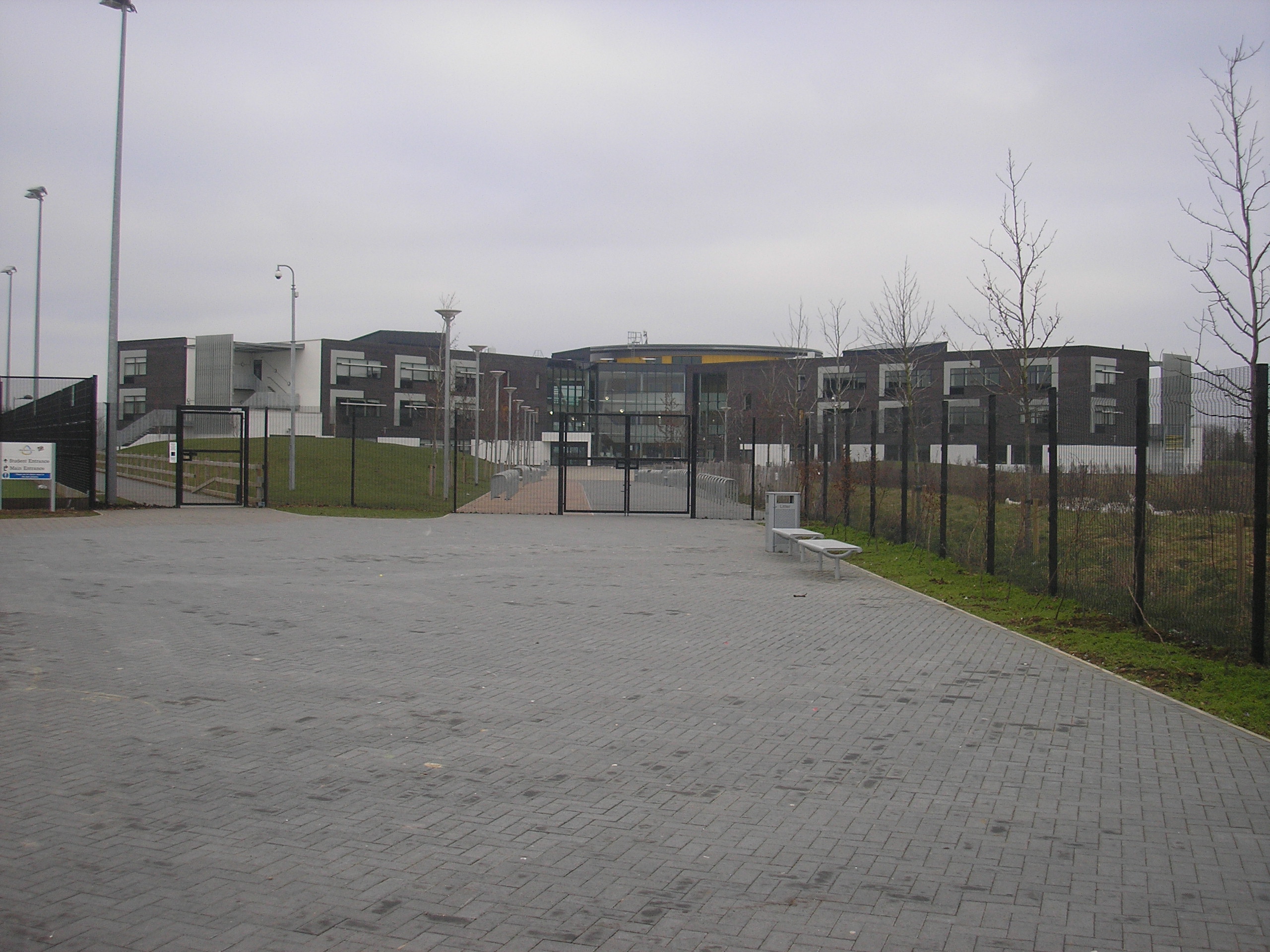
Elfield Park Images

Images are sourced within 2km of 52.017882/-0.75911823 or Grid Reference SP8536. Thanks to Geograph Open Source API. All images are credited.

Stadium MK in Milton Keynes Stadium MK is home to the MK Dons.
Stadium MK in Milton Keynes
Stadium MK is home to the MK Dons.
The West Stand in Stadium MK Stadium MK is home to the MK Dons.
The West Stand in Stadium MK
Stadium MK is home to the MK Dons.
Stadium MK in Milton Keynes Stadium MK is home to the MK Dons.
Stadium MK in Milton Keynes
Stadium MK is home to the MK Dons.
Stadium MK in Milton Keynes Stadium MK is home to the MK Dons.
Stadium MK in Milton Keynes
Stadium MK is home to the MK Dons.
Stadium MK in Milton Keynes Stadium MK is home to the MK Dons.
Stadium MK in Milton Keynes
Stadium MK is home to the MK Dons.
The North Stand in Stadium MK Stadium MK is home to the MK Dons.
The North Stand in Stadium MK
Stadium MK is home to the MK Dons.
Stadium MK in Milton Keynes Stadium MK is home to the MK Dons.
Stadium MK in Milton Keynes
Stadium MK is home to the MK Dons.
Groveway, Milton Keynes
Saxon Street, Milton Keynes
Robins Hill, Coffee Hall
Robins Hill at the junction of Saxon Street
Path by Saxon Street, Coffee Hall
Looking across Ashpole Furlong Standing in the small children's playground looking across the appropriately named road near the equestrian centre.
Looking across Ashpole Furlong
Standing in the small children's playground looking across the appropriately named road near the equestrian centre.
The horse themed climbing frame This is one of the children's toys in the small playground near Ashpole Furlong.
The horse themed climbing frame
This is one of the children's toys in the small playground near Ashpole Furlong.
The Old Beams Looking from the car park to the Old Beams Restaurant, the entrance of which is to the left of the white building.
The Old Beams
Looking from the car park to the Old Beams Restaurant, the entrance of which is to the left of the white building.
A path by the Teardrop Lakes There is a series of four lakes called the Teardrop Lakes in Milton Keynes. This is just one of the paths in the area.
A path by the Teardrop Lakes
There is a series of four lakes called the Teardrop Lakes in Milton Keynes. This is just one of the paths in the area.
Trees by Kelvin Drive Scrubby trees by the junction of Watling Street and Kelvin Drive.
Trees by Kelvin Drive
Scrubby trees by the junction of Watling Street and Kelvin Drive.
Looking across Watling Street On a dull misty day we had a short walk along the side of Watling Street.
Looking across Watling Street
On a dull misty day we had a short walk along the side of Watling Street.
Show me another place!

Elfield Park is located at Grid Ref: SP8536 (Lat: 52.017882, Lng: -0.75911823)

Unitary Authority: Milton Keynes

Police Authority: Thames Valley

What 3 Words

///stars.zoom.masks. Near Shenley Church End, Buckinghamshire

Related Wikis

National Bowl

The National Bowl (originally the Milton Keynes Bowl) is an entertainment venue located in Milton Keynes, Buckinghamshire, England. The site was a former...

Milton Keynes College

Milton Keynes College is a general further education and training college, serving the City of Milton Keynes. It also serves the surrounding areas (northern...

Energy World

Energy World was a demonstration project of 51 low-energy houses constructed in the Shenley Lodge area of Milton Keynes, United Kingdom. The project was...

A421 road

The A421 is an important road for east/west journeys across south central England. Together with the A428, the A43 and A34, it forms the route from Cambridge...

St Paul's Catholic School, Milton Keynes

St Paul's Catholic School is a comprehensive co-educational secondary school in Leadenhall, Milton Keynes, England. It has specialist science and language...

Denbigh Hall railway station

Denbigh Hall railway station was a temporary terminus station on the London and Birmingham Railway in the Denbigh area of what is now Milton Keynes in...

Furzton

Furzton is a district in south-west Milton Keynes, Buckinghamshire, England and in the civil parish of Shenley Brook End The man-made Furzton Lake is a...

Milton Keynes Academy

Milton Keynes Academy (formerly known as the Sir Frank Markham Community School), is a secondary school in Leadenhall, Milton Keynes, United Kingdom....

Nearby Amenities

Located within 500m of 52.017882,-0.75911823
Barrier: bollard
Lat/Long: 52.0149049/-0.7594383
Traffic Calming: cushion
Lat/Long: 52.0137951/-0.7571332
Triple Star Head
Artist Name: Paul Neagu
Man Made: sculpture
Note: On loan from the Creative Arts Trust.
Tourism: artwork
Lat/Long: 52.0151292/-0.7612243
Designation: public_bridleway
Horse: designated
Lat/Long: 52.0175264/-0.7584588
Millennium Milepost Furzton Lake
Description: 1) Winslow 8.25 2) City Centre 2.25
Information: guidepost
Ncn Milepost: mills
Sustrans Ref: MP575
Tourism: information
Lat/Long: 52.0149397/-0.7615191
Bus Stop
The Bowl Roundabout South
Bus: yes
Naptan AtcoCode: 049004215182
Naptan Bearing: SE
Naptan CommonName: The Bowl Roundabout South
Naptan Indicator: o/s
Naptan Landmark: Milton Keynes National Bowl
Naptan NaptanCode: mltdtwa
Naptan PlusbusZoneRef: MKNSCEN
Naptan Street: Watling Street V4
Naptan Verified: no
Public Transport: platform
Shelter: yes
Source: GPS Survey;naptan_import
Lat/Long: 52.0182976/-0.7657517
Bus Stop
The Bowl Roundabout South
Bus: yes
Naptan AtcoCode: 049004215183
Naptan Bearing: NW
Naptan CommonName: The Bowl Roundabout South
Naptan Indicator: opp
Naptan Landmark: Milton Keynes National Bowl
Naptan NaptanCode: mltdtwd
Naptan PlusbusZoneRef: MKNSCEN
Naptan Street: Watling Street V4
Naptan Verified: no
Public Transport: platform
Shelter: yes
Source: GPS Survey;naptan_import
Lat/Long: 52.0182011/-0.7658226
Restaurant
The Grill
Addr City: Milton Keynes
Addr Country: GB
Addr Postcode: MK5 8AA
Addr Street: Watling Street
Addr Suburb: Elfield Park
Lat/Long: 52.0147727/-0.7561951
Barrier: bollard
Lat/Long: 52.015275/-0.7610338
Barrier: bollard
Lat/Long: 52.0154945/-0.7607034
Mini Roundabout
Lat/Long: 52.01851/-0.7559125
The Bowl Park & Ride
Naptan AtcoCode: 049004215824
Naptan Bearing: N
Naptan BusStopType: CUS
Naptan CommonName: The Bowl Park & Ride
Naptan Indicator: Milton Keynes Bowl
Naptan Landmark: Milton Keynes Bowl
Naptan NaptanCode: mltdmg
Naptan PlusbusZoneRef: MKNSCEN
Naptan Street: Watling Street
Naptan Verified: no
Source: naptan_import
Lat/Long: 52.0193838/-0.7655876
Bleak Hall
Place: suburb
Lat/Long: 52.0206857/-0.7536764
Mini Roundabout
Direction: clockwise
Lat/Long: 52.0173088/-0.7550282
Parking
Parking: layby
Lat/Long: 52.0207962/-0.7590892
Bench
Lat/Long: 52.0160965/-0.7626112
Bench
Lat/Long: 52.0170511/-0.7650291
Car Wash
Roni Hand Car Wash Cafe
Addr City: Milton Keynes
Addr Country: GB
Addr Postcode: MK5 8AA
Addr Street: Watling Street
Addr Suburb: Elfield Park
Automated: no
Fhrs Authority: Milton Keynes
Fhrs Id: 991254
Fhrs Local Authority Id: 88322
Self Service: no
Lat/Long: 52.0150896/-0.7574022
Cafe
Central MK Cafe
Addr City: Milton Keynes
Addr Country: GB
Addr Postcode: MK5 8AA
Addr Street: Watling Street
Addr Suburb: Elfield Park
Fhrs Authority: Milton Keynes
Fhrs Id: 1060811
Fhrs Local Authority Id: 89843
Lat/Long: 52.0149105/-0.756973
Fast Food
Kali BBQs
Addr City: Milton Keynes
Addr Country: GB
Addr Housenumber: 159
Addr Postcode: MK5 8AA
Addr Street: Watling Street
Addr Suburb: Elfield Park
Fhrs Authority: Milton Keynes
Fhrs Id: 967130
Fhrs Local Authority Id: 88059
Lat/Long: 52.0145696/-0.7556842
Fast Food
Calzone/The GrillMed/Kebab 46
Addr City: Milton Keynes
Addr Country: GB
Addr Postcode: MK5 8AA
Addr Street: Watling Street
Addr Suburb: Elfield Park
Fhrs Authority: Milton Keynes
Fhrs Id: 132156
Fhrs Local Authority Id: 63878
Lat/Long: 52.0148016/-0.7563441
Information: map
Tourism: information
Lat/Long: 52.0152489/-0.7610935
Information: guidepost
Tourism: information
Lat/Long: 52.0141741/-0.7617321
Information: guidepost
Tourism: information
Lat/Long: 52.0141393/-0.7585202
Waste Basket
Waste: dog_excrement
Lat/Long: 52.0152632/-0.7610599
Information: guidepost
Tourism: information
Lat/Long: 52.0150295/-0.7615724
Information: map
Tourism: information
Lat/Long: 52.0152544/-0.7609549
Waste Basket
Lat/Long: 52.015272/-0.7609842
Information: map
Tourism: information
Lat/Long: 52.0155256/-0.7607026
Information: guidepost
Tourism: information
Lat/Long: 52.0137824/-0.759328
Crossing
Crossing: uncontrolled
Crossing Ref: zebra
Lat/Long: 52.0176338/-0.7559149
Crossing
Lat/Long: 52.0145979/-0.7563078
Crossing
Lat/Long: 52.0148282/-0.7569351
The data included in this document is from www.openstreetmap.org. The data is made available under ODbL.

Have you been to Elfield Park?

Leave your review of Elfield Park below (or comments, questions and feedback).