Wetherby
Civil Parish in Yorkshire Leeds
England
Wetherby
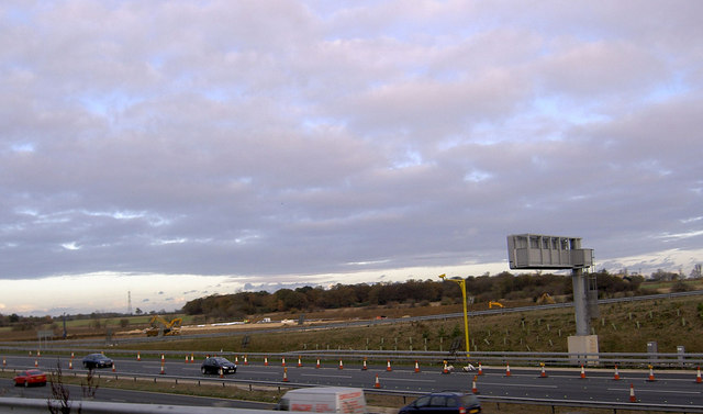
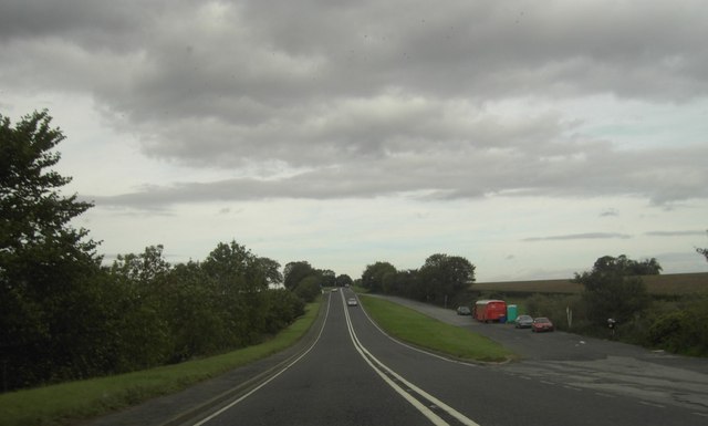
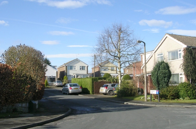
![New roundabout at Kirk Deighton A new [2006] roundabout and junction at Kirk Deighton on the line of the old A1 Wetherby by-pass, now by-passed in turn by the A1 motorway.](https://s0.geograph.org.uk/photos/35/13/351388_b9ab7239.jpg)
Wetherby is a civil parish located in the county of West Yorkshire, England. Situated on the banks of the River Wharfe, it lies approximately 12 miles northeast of Leeds and 12 miles southwest of York. The town has a population of around 11,000 residents.
Historically, Wetherby was an important market town and a crossing point on the river. Today, it maintains its market town charm with a variety of independent shops, cafes, and restaurants lining the cobbled streets. The town center features a market square, where a weekly market is held, attracting locals and visitors alike.
Wetherby is known for its picturesque surroundings, with the river and surrounding countryside providing opportunities for outdoor activities such as walking, cycling, and fishing. The town is also home to the Wetherby Racecourse, which hosts both flat and National Hunt racing events throughout the year.
In terms of education, Wetherby has several primary schools and a secondary school. The town is well-connected, with good transport links, including a railway station on the Harrogate Line, providing direct access to Leeds, Harrogate, and York.
Wetherby is also a popular destination for tourists, thanks to its proximity to the Yorkshire Dales National Park and the historic city of York. The town hosts various events and festivals throughout the year, including the Wetherby Food Festival and the Wetherby Christmas Market.
Overall, Wetherby offers a blend of history, natural beauty, and modern amenities, making it an attractive place to live or visit in West Yorkshire.
If you have any feedback on the listing, please let us know in the comments section below.
Wetherby Images
Images are sourced within 2km of 53.92851/-1.378724 or Grid Reference SE4048. Thanks to Geograph Open Source API. All images are credited.
Wetherby is located at Grid Ref: SE4048 (Lat: 53.92851, Lng: -1.378724)
Division: West Riding
Administrative County: West Yorkshire
District: Leeds
Police Authority: West Yorkshire
What 3 Words
///daytime.plankton.quietest. Near Wetherby, West Yorkshire
Related Wikis

Hallfield
Hallfield or Hallfields is an area predominantly of council estates in Wetherby, West Yorkshire, England. The area is situated east of the town centre...
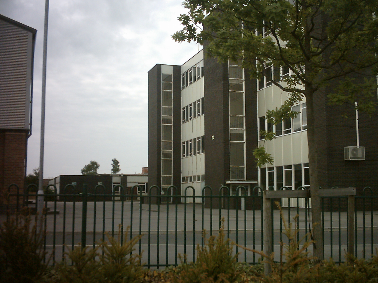
Wetherby High School
Wetherby High School (formerly Wetherby Secondary Modern School) is a coeducational secondary school and sixth form located in the Hallfield area of Wetherby...
Wetherby Rural District
Wetherby was a rural district in the West Riding of Yorkshire from 1894 to 1974. It was named after the town of Wetherby. It was abolished in 1974 under...

Wetherby
Wetherby () is a market town and civil parish in the City of Leeds, West Yorkshire, England. It is close to West Yorkshire county's border with North Yorkshire...
Nearby Amenities
Located within 500m of 53.92851,-1.378724Have you been to Wetherby?
Leave your review of Wetherby below (or comments, questions and feedback).