Hallfield
Settlement in Yorkshire
England
Hallfield
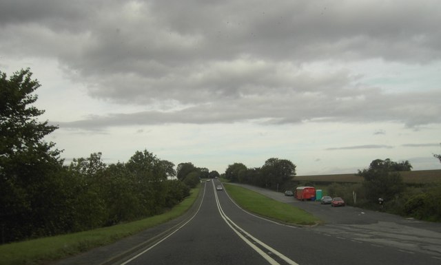
![New roundabout at Kirk Deighton A new [2006] roundabout and junction at Kirk Deighton on the line of the old A1 Wetherby by-pass, now by-passed in turn by the A1 motorway.](https://s0.geograph.org.uk/photos/35/13/351388_b9ab7239.jpg)
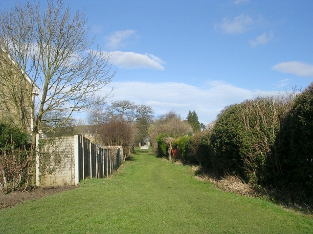
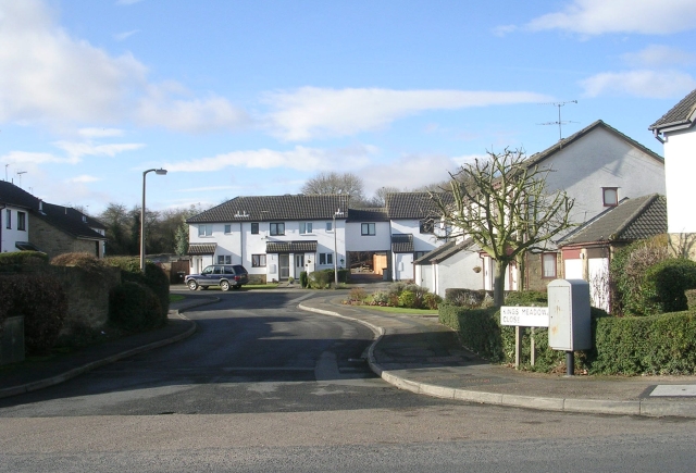
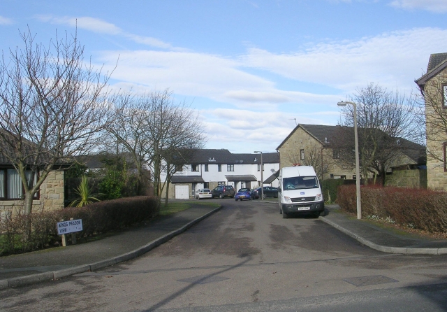
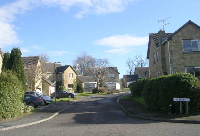
Hallfield is a charming village located in the county of Yorkshire, England. Nestled amidst picturesque countryside, it is situated approximately 15 miles east of the bustling city of Leeds. Hallfield is renowned for its idyllic setting and tranquil atmosphere, making it an attractive destination for those seeking a peaceful retreat.
The village is steeped in history, with its origins dating back to medieval times. It boasts a wealth of architectural gems, including a magnificent parish church that stands as a testament to its rich heritage. The village's quaint streets are lined with traditional stone cottages, exuding a timeless charm that captivates both residents and visitors alike.
Despite its small size, Hallfield offers a range of amenities to cater to the needs of its inhabitants. These include a local pub, a village hall, and a small convenience store, ensuring that residents have access to basic necessities without having to travel far. The village also benefits from a strong sense of community, with various events and activities held throughout the year, fostering a close-knit and friendly atmosphere.
Surrounded by rolling hills and verdant countryside, Hallfield is a haven for nature enthusiasts and outdoor lovers. The village provides ample opportunities for walking, cycling, and exploring the surrounding landscape. Additionally, its proximity to the larger towns and cities of Yorkshire means that residents can easily access a wider range of amenities and cultural attractions.
In summary, Hallfield is a quaint and historic village in the heart of Yorkshire, offering a peaceful and picturesque setting for those seeking a slower pace of life.
If you have any feedback on the listing, please let us know in the comments section below.
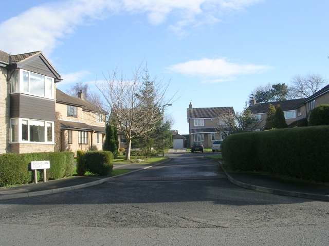
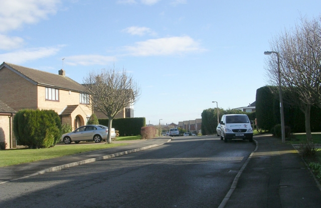
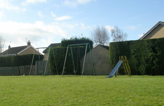
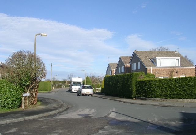
Hallfield Images
Images are sourced within 2km of 53.92873/-1.3793708 or Grid Reference SE4048. Thanks to Geograph Open Source API. All images are credited.
Hallfield is located at Grid Ref: SE4048 (Lat: 53.92873, Lng: -1.3793708)
Division: West Riding
Unitary Authority: Leeds
Police Authority: West Yorkshire
What 3 Words
///cork.valid.correct. Near Wetherby, West Yorkshire
Related Wikis

Hallfield
Hallfield or Hallfields is an area predominantly of council estates in Wetherby, West Yorkshire, England. The area is situated east of the town centre...
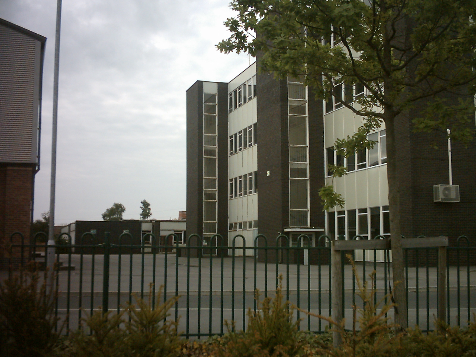
Wetherby High School
Wetherby High School (formerly Wetherby Secondary Modern School) is a coeducational secondary school and sixth form located in the Hallfield area of Wetherby...
Wetherby Rural District
Wetherby was a rural district in the West Riding of Yorkshire from 1894 to 1974. It was named after the town of Wetherby. It was abolished in 1974 under...

Wetherby
Wetherby () is a market town and civil parish in the City of Leeds, West Yorkshire, England. It is close to West Yorkshire county's border with North Yorkshire...
Nearby Amenities
Located within 500m of 53.92873,-1.3793708Have you been to Hallfield?
Leave your review of Hallfield below (or comments, questions and feedback).