Wetherby
Settlement in Yorkshire
England
Wetherby
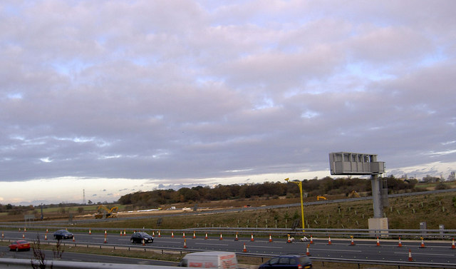
![New roundabout at Kirk Deighton A new [2006] roundabout and junction at Kirk Deighton on the line of the old A1 Wetherby by-pass, now by-passed in turn by the A1 motorway.](https://s0.geograph.org.uk/photos/35/13/351388_b9ab7239.jpg)
Wetherby is a historic market town located in the county of West Yorkshire, England. Situated on the banks of the River Wharfe, it lies approximately 12 miles northeast of Leeds and 12 miles northwest of York. With a population of around 11,000 people, Wetherby offers a charming blend of rural tranquility and urban convenience.
The town is known for its picturesque setting, featuring beautiful Georgian and Victorian architecture. The market square serves as the focal point, hosting a weekly market where locals and visitors can purchase fresh produce, local crafts, and other goods. Additionally, there are several independent shops, boutiques, and traditional pubs scattered throughout the town, adding to its unique character.
Wetherby is also home to several notable landmarks, such as the Wetherby Bridge, a Grade II listed structure that spans the River Wharfe and dates back to the 13th century. The town's historic church, All Saints' Church, is another significant site, showcasing stunning stained glass windows and a rich history.
Nature lovers can enjoy the nearby Wetherby Ings, a riverside meadow that offers picturesque walking paths and opportunities for birdwatching. Furthermore, the town's proximity to the Yorkshire Dales National Park makes it an ideal base for exploring the stunning countryside and enjoying outdoor activities such as hiking, cycling, and fishing.
In terms of amenities, Wetherby boasts a range of schools, healthcare facilities, and recreational spaces, including a popular racecourse that attracts visitors from far and wide.
Overall, Wetherby's combination of historic charm, natural beauty, and convenient location make it a popular destination for both residents and tourists seeking a quintessential Yorkshire experience.
If you have any feedback on the listing, please let us know in the comments section below.
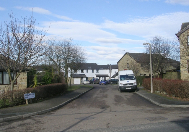
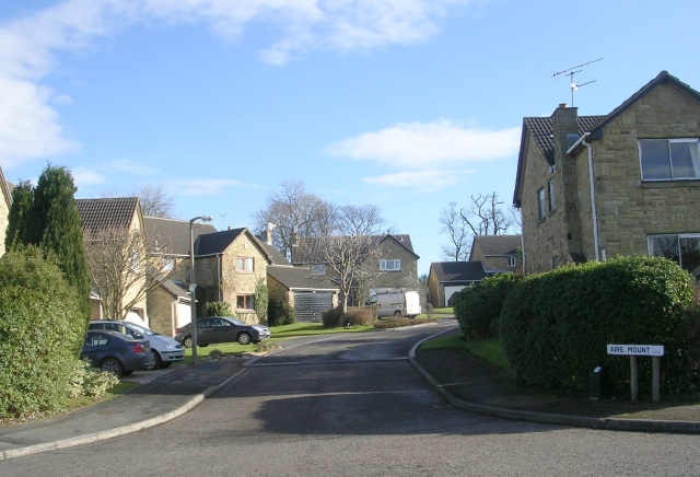
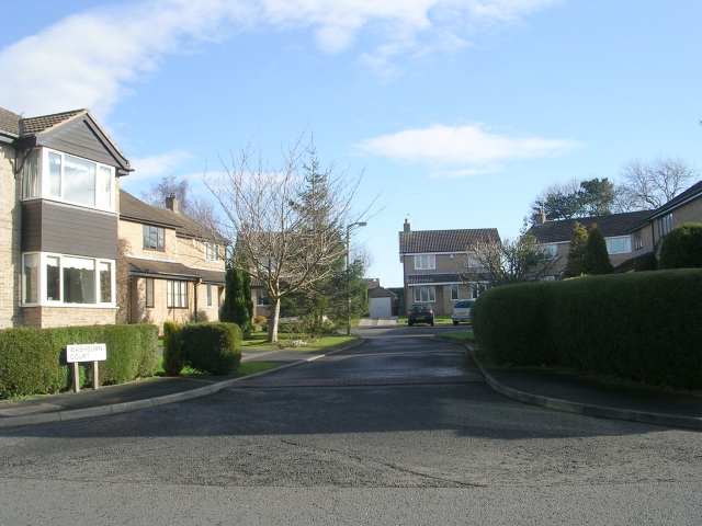
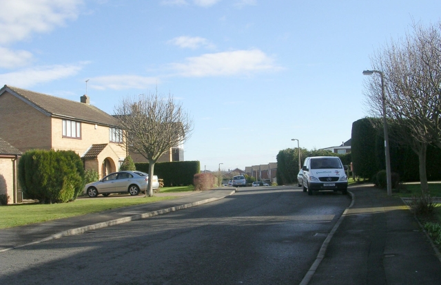
Wetherby Images
Images are sourced within 2km of 53.928517/-1.3869125 or Grid Reference SE4048. Thanks to Geograph Open Source API. All images are credited.

Wetherby is located at Grid Ref: SE4048 (Lat: 53.928517, Lng: -1.3869125)
Division: West Riding
Unitary Authority: Leeds
Police Authority: West Yorkshire
What 3 Words
///tapers.charted.rebel. Near Wetherby, West Yorkshire
Related Wikis
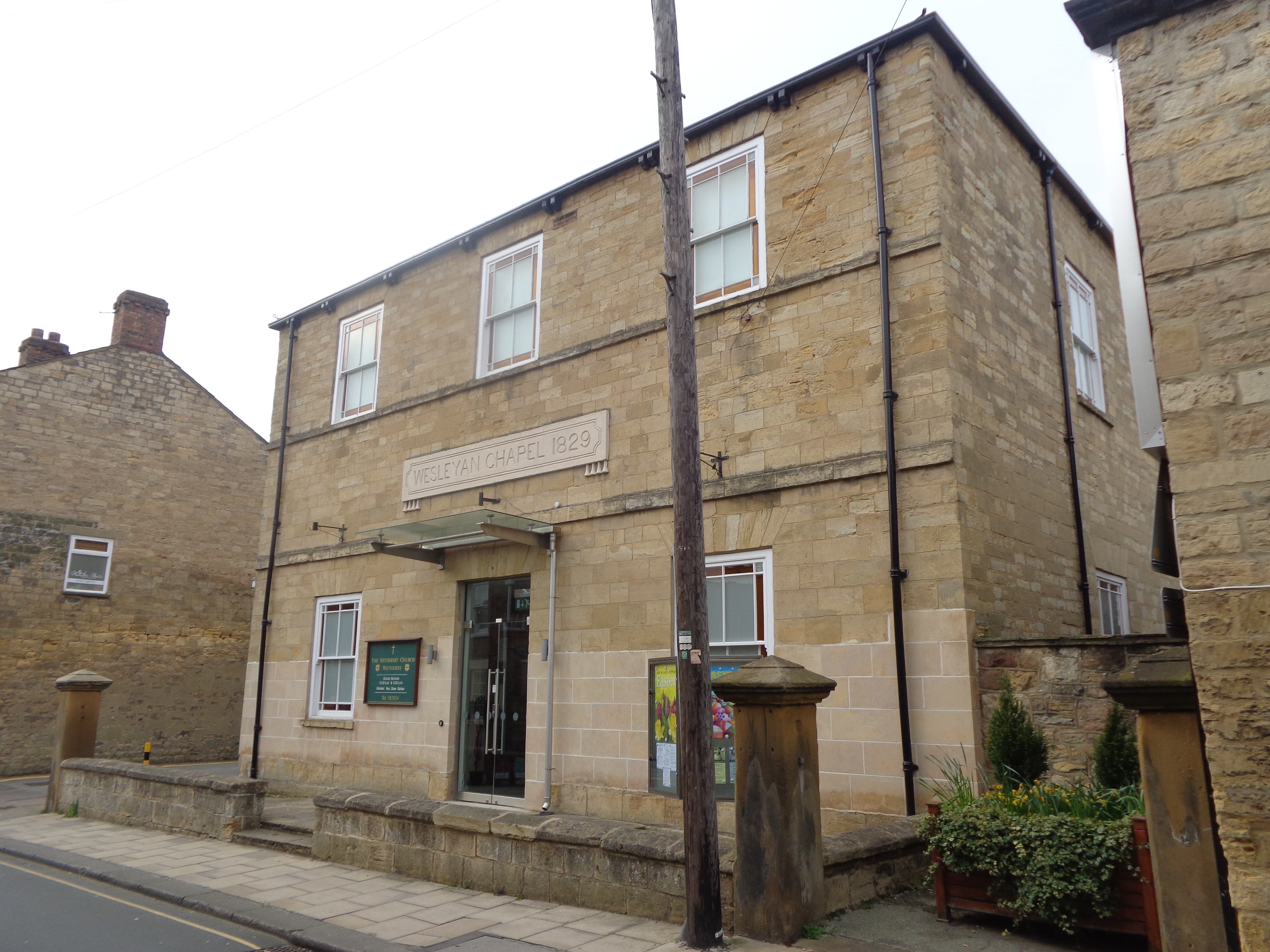
Wetherby Methodist Church
Wetherby Methodist Church is an active Methodist Church of Great Britain church in Wetherby, West Yorkshire, England. The present church is on Bank Street...
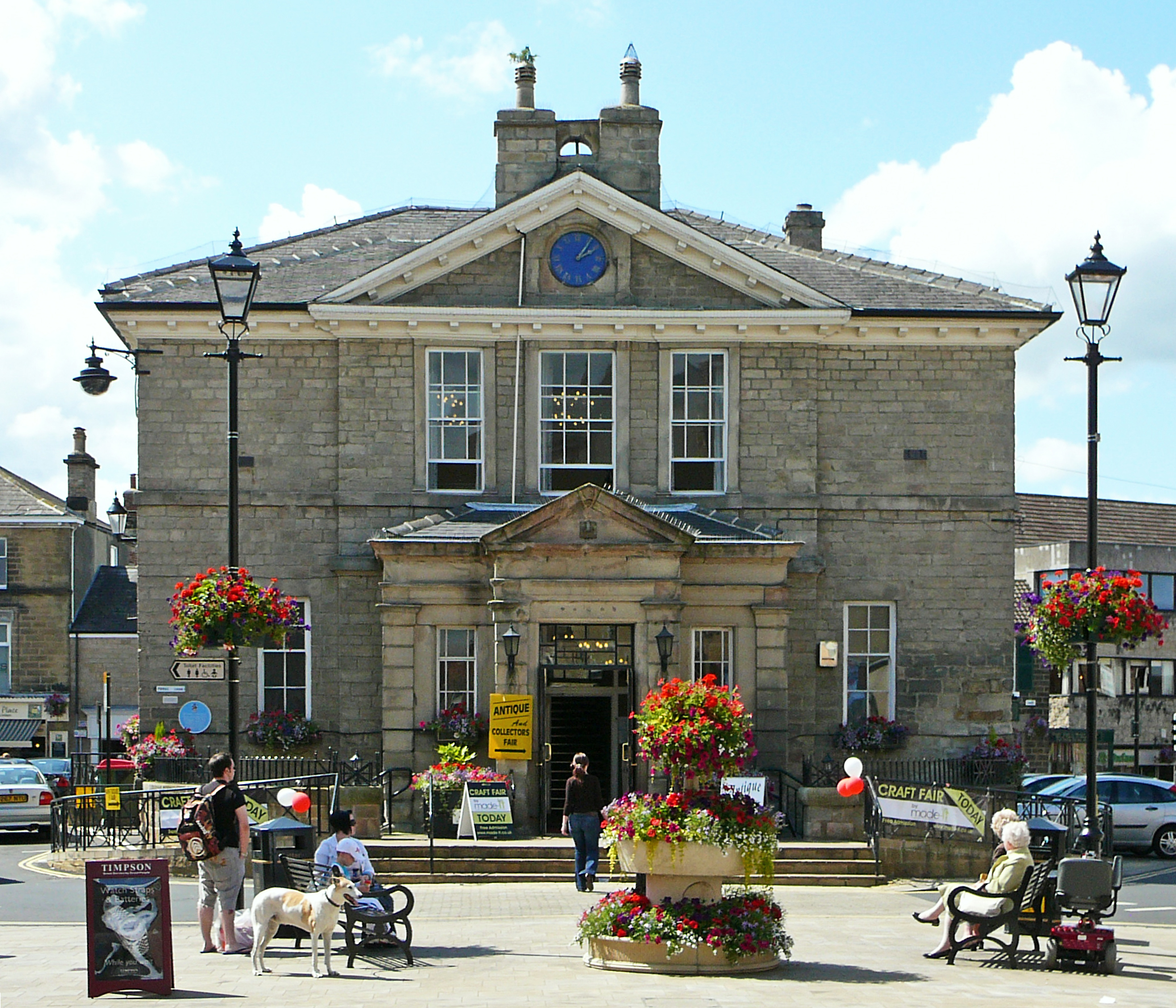
Wetherby Town Hall
Wetherby Town Hall is a community building in Wetherby, West Yorkshire, England. The town hall no longer plays a major civic function but provides an...

St Joseph's Church, Wetherby
St Joseph's Church is an active Roman Catholic church in Wetherby, West Yorkshire, England. == History == Prior to the construction of a Catholic church...

St James' Parish Church, Wetherby
St James' Parish Church is an Anglican parish church serving the parish of Wetherby with Linton in Wetherby, West Yorkshire, England. == History == Wetherby...
Nearby Amenities
Located within 500m of 53.928517,-1.3869125Have you been to Wetherby?
Leave your review of Wetherby below (or comments, questions and feedback).