Upton Lovell
Civil Parish in Wiltshire
England
Upton Lovell
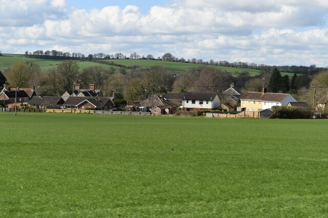
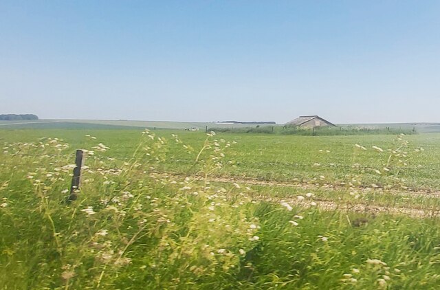
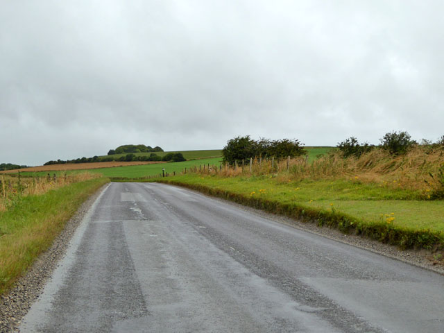
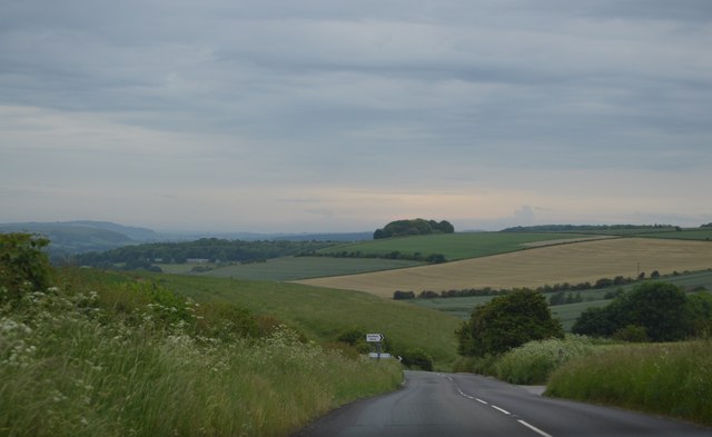
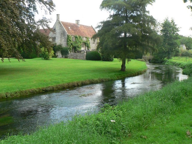
Upton Lovell is a civil parish located in the county of Wiltshire, in the southwestern part of England. It is situated approximately 7 miles northwest of the town of Warminster and covers an area of around 2.7 square miles. The parish is characterized by its rural setting, with rolling hills, farmland, and scattered residential properties.
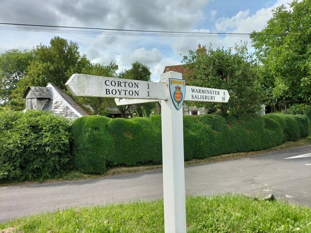
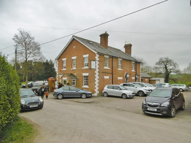
The village of Upton Lovell is the main settlement within the parish, and it is home to a small population of around 200 people. The village is primarily residential, with a mix of traditional stone cottages and more modern houses. The parish also includes the smaller hamlets of Copheap and Littleton.
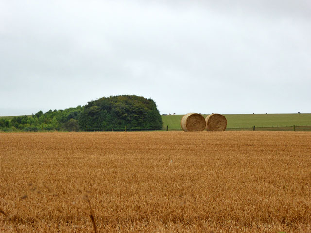
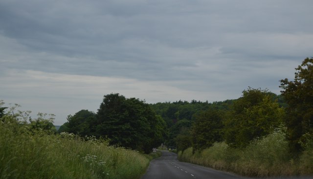
Upton Lovell is known for its picturesque surroundings and tranquil atmosphere. The landscape is dotted with charming country lanes and footpaths, making it an ideal location for walking and outdoor activities. The area is also rich in wildlife, with various species of birds and mammals inhabiting the countryside.
The parish has limited amenities, with no shops or schools within its boundaries. However, there are several amenities available in nearby towns and villages, including shops, schools, and healthcare facilities.
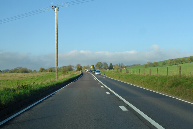
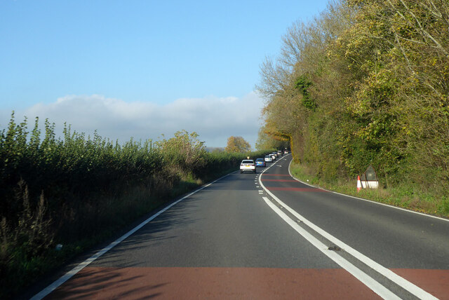
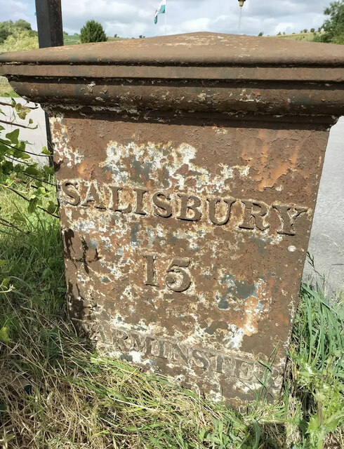
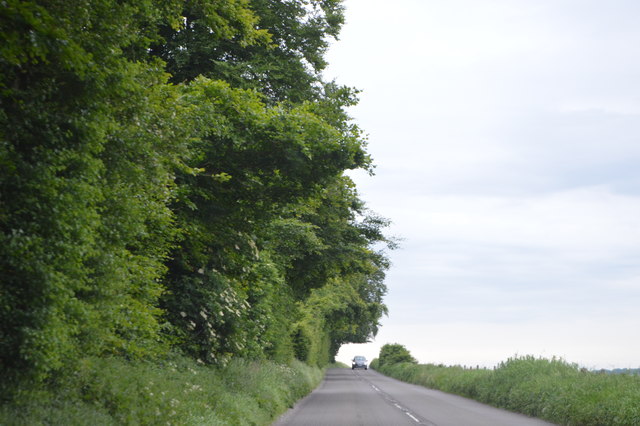
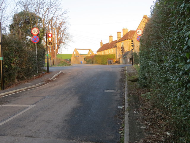
Upton Lovell is well-connected by road, with the A36 passing through the neighboring town of Warminster, providing easy access to other parts of Wiltshire and beyond. The nearest railway station is in Warminster, offering regular services to major cities such as Bath, Bristol, and London.
If you have any feedback on the listing, please let us know in the comments section below.
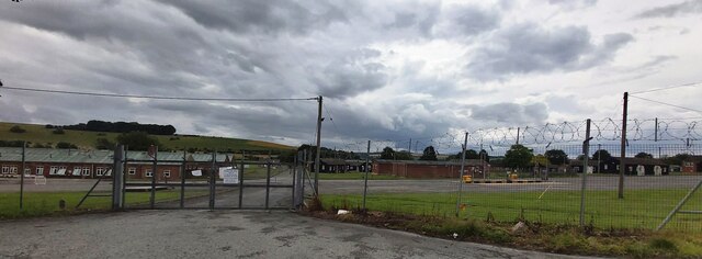
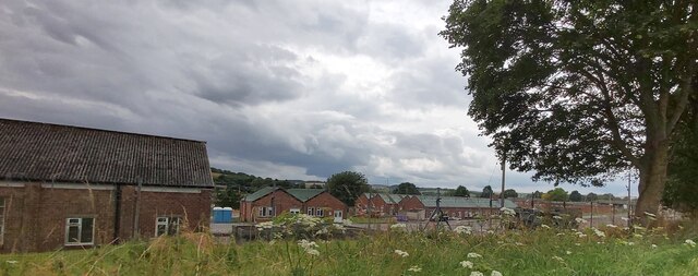
Upton Lovell Images
Images are sourced within 2km of 51.179976/-2.064705 or Grid Reference ST9542. Thanks to Geograph Open Source API. All images are credited.
Upton Lovell is located at Grid Ref: ST9542 (Lat: 51.179976, Lng: -2.064705)
Unitary Authority: Wiltshire
Police Authority: Wiltshire
What 3 Words
///frightens.curly.door. Near Boyton, Wiltshire
Nearby Locations
Related Wikis

Knook Castle
Knook Castle is the site of an Iron Age univallate hillfort on Knook Down, near the village of Knook in Wiltshire, England, but largely within the civil...
Knook
Knook is a small village and civil parish in Wiltshire, England. The village lies to the north of the River Wylye at the edge of Salisbury Plain, about...

Upton Lovell
Upton Lovell is a village and civil parish in Wiltshire, England. It lies on the A36, in the Wylye valley about 5 miles (8.0 km) southeast of Warminster...

Codford railway station
Codford railway station was an intermediate station on the Salisbury branch line of the Great Western Railway built along the Wylye valley to connect Warminster...
Related Videos

2nd June Chitterne Anstey ........
In the woods tis lovely ☕️☕️

Corton Long Barrow
A short video about Corton Long Barrow, near the village of Corton, Wiltshire. Sorry about the noise from the wind.

6th June Isle of Man TT bits🚐☕️☕️👍🏼🏴🌈💙❤️💙❤️
Clips on my Facebook page........

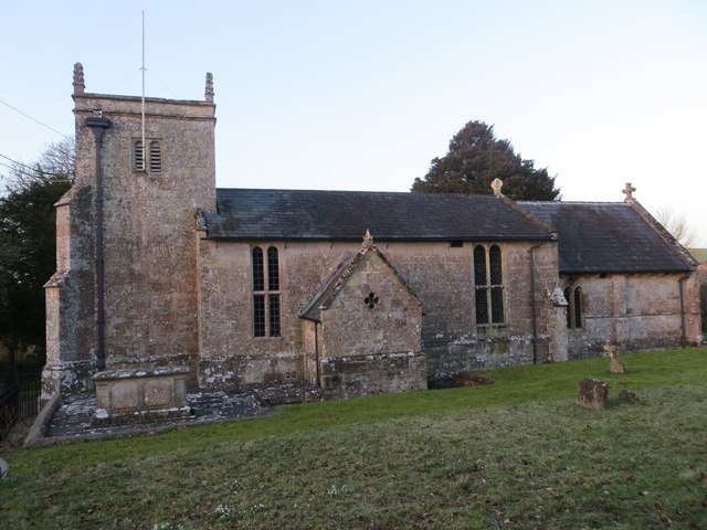
St Augustine's Church, Upton Lovell, Wiltshire, England
Filmed April, 2022.
Nearby Amenities
Located within 500m of 51.179976,-2.064705Have you been to Upton Lovell?
Leave your review of Upton Lovell below (or comments, questions and feedback).