Upton Magna
Civil Parish in Shropshire
England
Upton Magna

Upton Magna is a civil parish located in the county of Shropshire, England. Situated approximately 4 miles northwest of the town of Shrewsbury, Upton Magna covers an area of about 5.5 square miles and is home to a population of around 500 people.
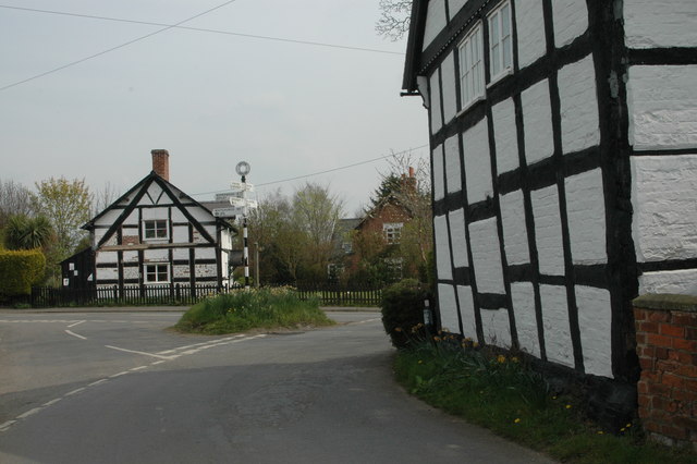
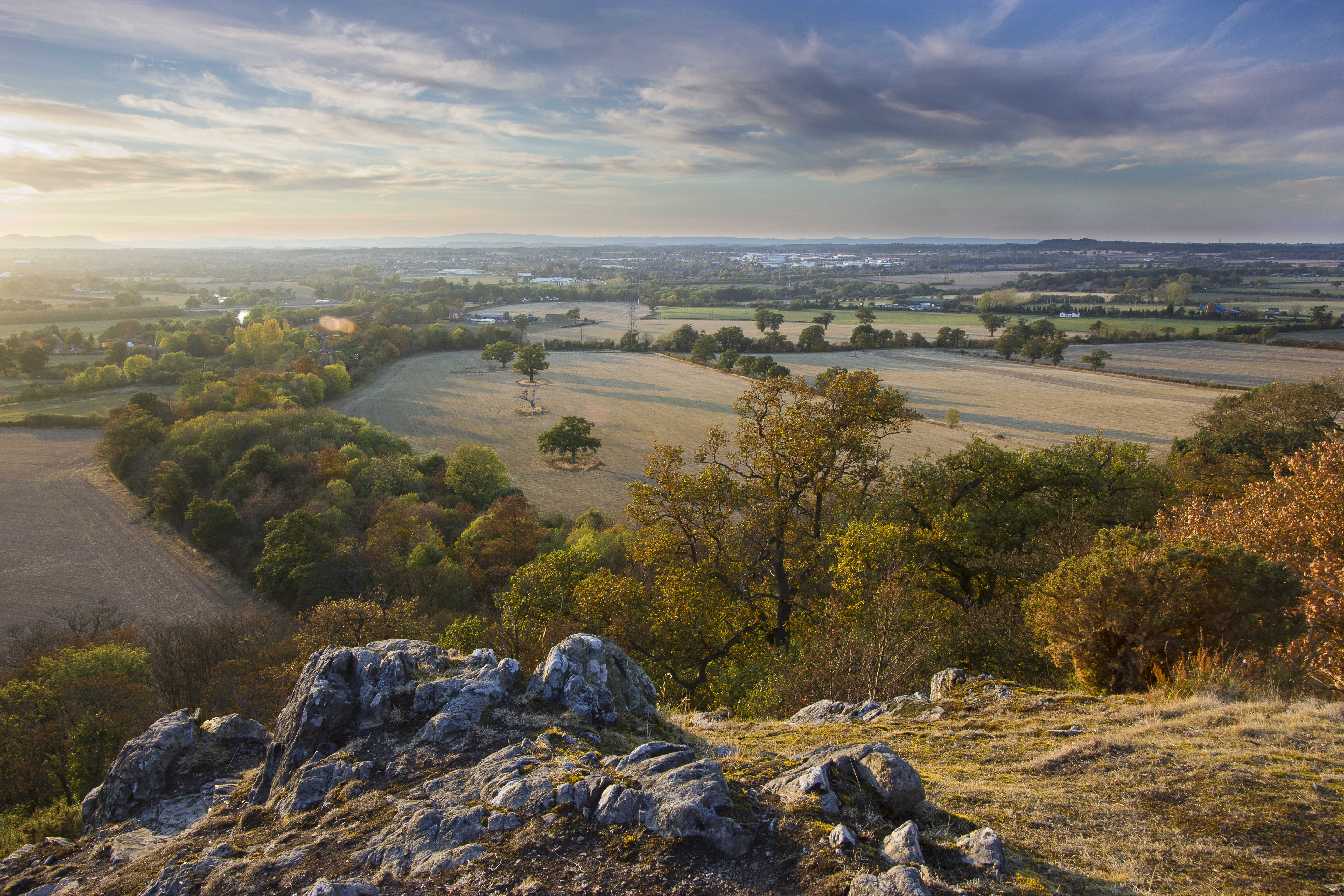
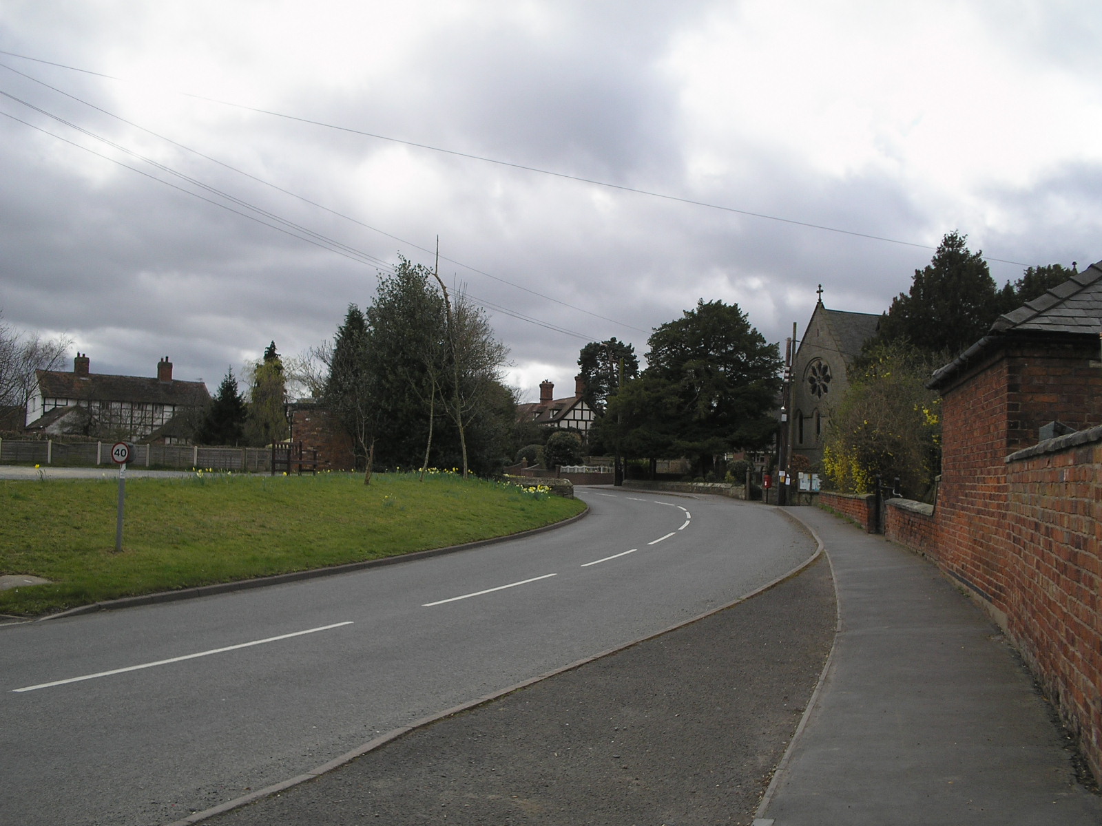
The parish is predominantly rural, characterized by open fields, farmland, and scattered residential properties. It is surrounded by picturesque countryside, offering stunning views of the Shropshire Hills to the west. The River Severn flows to the east of the parish, providing a beautiful natural feature.
Upton Magna is well-connected by road, with the A5 running through the southern part of the parish, providing easy access to Shrewsbury and other nearby towns and villages. The area also benefits from regular bus services, ensuring convenient transportation for its residents.
The community of Upton Magna is tight-knit and friendly, with a strong sense of community spirit. The parish has a village hall, which serves as a hub for various social activities and events throughout the year.
In terms of amenities, Upton Magna has a primary school, offering education to local children. For further amenities such as shops and healthcare facilities, residents typically rely on nearby towns and villages.
Overall, Upton Magna offers a peaceful and scenic rural setting, making it an attractive place to live for those seeking a tranquil lifestyle within close proximity to larger urban centers.
If you have any feedback on the listing, please let us know in the comments section below.
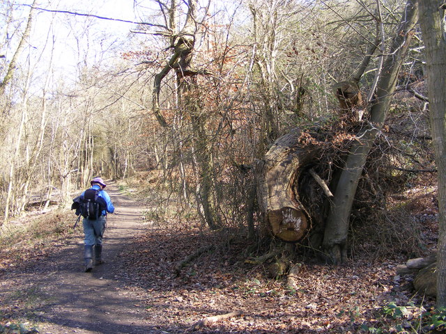
Upton Magna Images
Images are sourced within 2km of 52.713128/-2.665193 or Grid Reference SJ5513. Thanks to Geograph Open Source API. All images are credited.


Upton Magna is located at Grid Ref: SJ5513 (Lat: 52.713128, Lng: -2.665193)
Unitary Authority: Shropshire
Police Authority: West Mercia
What 3 Words
///dynamics.plodding.calms. Near Withington, Shropshire
Nearby Locations
Related Wikis
Upton Magna
Upton Magna is a village and civil parish in Shropshire, England. (Magna is Latin, meaning "great". Therefore, the translation of Upton Magna is "Great...
Haughmond Hill
Haughmond Hill is a small, shallow hill in the English county of Shropshire. It is covered by woodland for the most part, although there is an open cast...

Upton Magna railway station
Upton Magna railway station was a station in Upton Magna, Shropshire, England. The station was opened on 1 June 1849 by the Shrewsbury and Wellington...

Berwick Tunnel
Berwick Tunnel is a canal tunnel located on the Shrewsbury Canal, Shropshire, England, UK. == History == The Shrewsbury Canal connected Shrewsbury to the...
Uffington, Shropshire
Uffington () is a village and civil parish in the English county of Shropshire. The population of the civil parish at the 2011 census was 234. It lies...
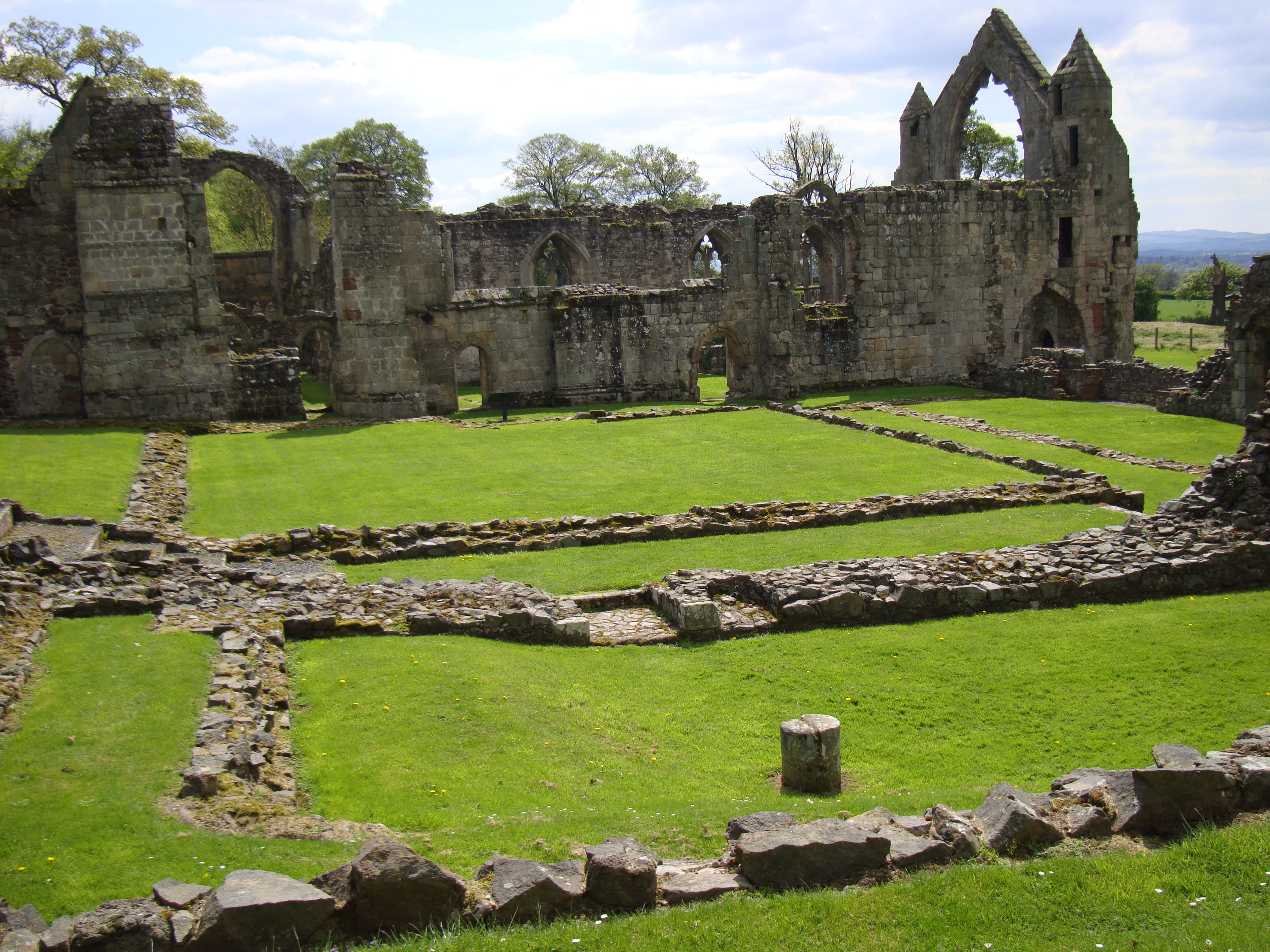
Haughmond Abbey
Haughmond Abbey (locally HOR-mənd) is a ruined, medieval, Augustinian monastery a few miles from Shrewsbury, England. It was probably founded in the early...
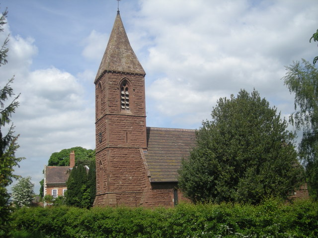
Withington, Shropshire
Withington is a village and parish in Shropshire, England. The parish is very small (both in area covered and population – 220 people) and is located on...
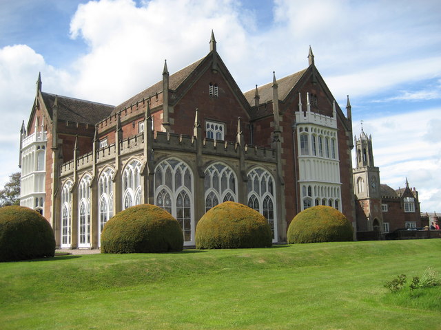
Longner Hall
Longner Hall is a Grade I listed country house in Longner, Shropshire, England, some 2 miles (3 km) south-east of Shrewsbury in the civil parish of Atcham...
Related Videos
Trip to Haughmond Hill from Ebury Hill Camping and Caravanning Club site, Shrewsbury, UK
Solo with Rolo - We stayed at Ebury Hill Camping and caravanning Club from 6th May 2022 to 20th May 2022. In this video we ...

Haughmond Hill: A Tranquil Escape from the Bustle of Shrewsbury in 4K 60fps
Haughmond Hill, located near Shrewsbury in Shropshire, is a must-visit destination for nature lovers and hikers alike. With its ...

My First Time Visiting The Shropshire Hills | Haughmond Hill | Chasing The Sunset | Golden Hour
Chasing the sunset is now one of my favourite things to do! It's such an adventure and Haughmond Hill in The Shropshire Hills ...

Getting caught is hilarious on our breakfast hike and cook out
We didn't think getting caught is an option on this breakfast walk and cook out. These lovely people caught us cooking sausages ...
Nearby Amenities
Located within 500m of 52.713128,-2.665193Have you been to Upton Magna?
Leave your review of Upton Magna below (or comments, questions and feedback).