Upton Great Barrow

Heritage Site in Wiltshire

England

Upton Great Barrow

Knook Military Camp
Knook Military Camp Credit: Anthony Parkes

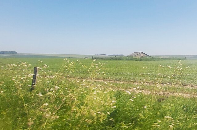
Upton Great Barrow is a historical site located in the county of Wiltshire, England. It is an ancient burial mound or barrow that dates back to the Neolithic period, making it one of the oldest heritage sites in the region. The barrow is situated on a gentle slope near the village of Upton Scudamore, overlooking the picturesque Wylye Valley.

The Upton Great Barrow stands approximately 12 meters in diameter and 2.5 meters high. It is composed of earth and stone, with a grassy mound covering its surface. The mound is surrounded by a circular ditch, which is now partially filled in but was likely deeper in the past. Archaeological excavations carried out in the early 20th century revealed the presence of cremated human remains within the barrow, along with pottery fragments and flint tools.

The site has great cultural and historical significance, offering valuable insights into the burial practices of the Neolithic people who inhabited this area over 4,000 years ago. It is believed that the barrow was used as a communal burial site for several generations, serving as a monument to honor the deceased.

Upton Great Barrow is easily accessible to visitors, with a footpath leading to the site from the nearby village. It offers a peaceful and serene setting, allowing people to reflect on the ancient past and appreciate the enduring legacy left by our ancestors. The barrow is protected as a scheduled monument, ensuring its preservation for future generations to explore and appreciate.

If you have any feedback on the listing, please let us know in the comments section below.

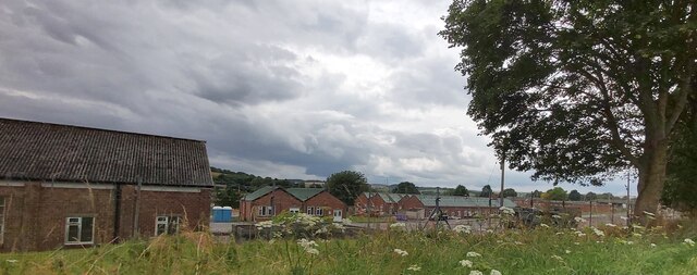
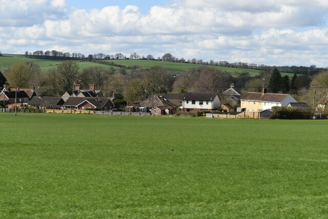
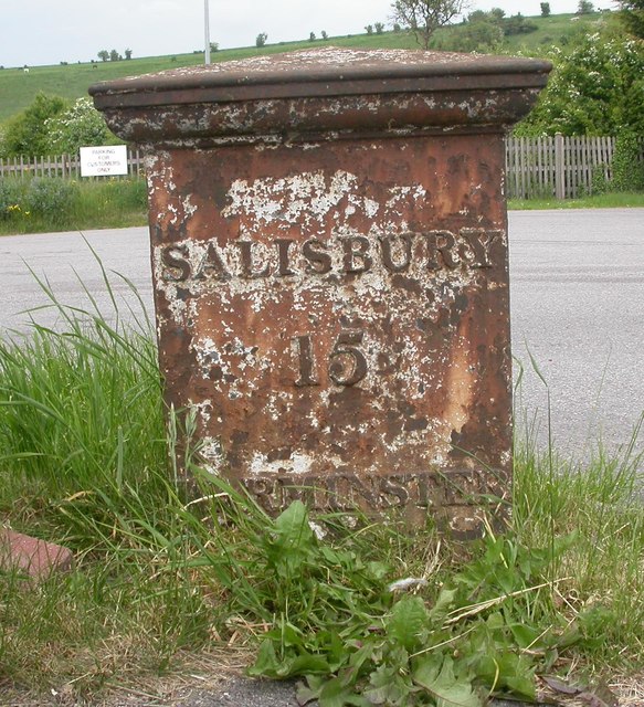
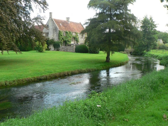
Upton Great Barrow Images

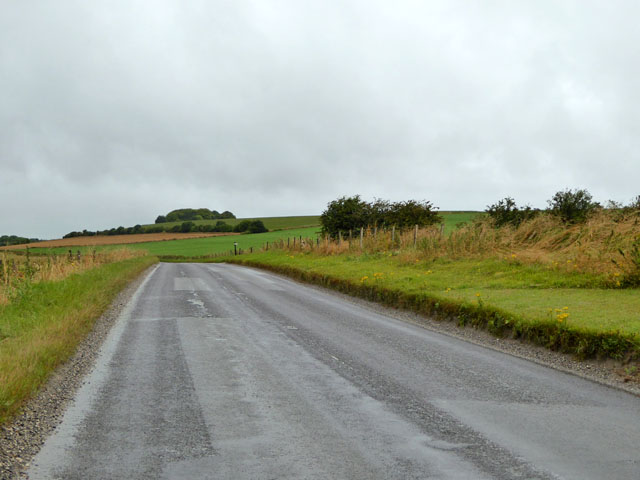
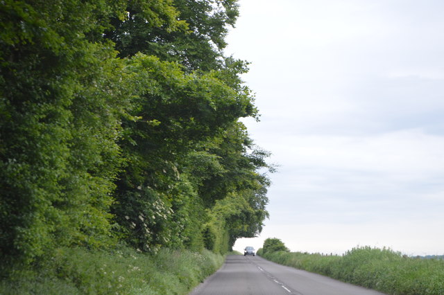
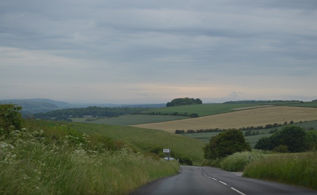
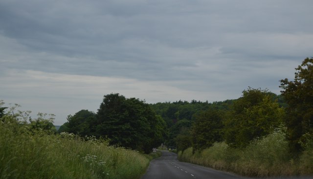
Images are sourced within 2km of 51.182/-2.063 or Grid Reference ST9542. Thanks to Geograph Open Source API. All images are credited.

Knook Military Camp
Knook Military Camp
Knook Camp
Knook Camp
Upton Lovell seen from the A36
A36 towards Warminster and Bath
Roofed Building marked as a Reservoir on the map
Direction Sign – Signpost at Upton Lovell Located on a grass triangle in the centre of the junction of Lovel Road and Manor Road in Upton Lovell parish. 3 arms and pyramid top.

Milestone Society National ID: WI_ST9441
Direction Sign – Signpost at Upton Lovell
Located on a grass triangle in the centre of the junction of Lovel Road and Manor Road in Upton Lovell parish. 3 arms and pyramid top. Milestone Society National ID: WI_ST9441
Old Milepost by the A36, Warminster Road, Codford Parish Cast iron post by the A36, in parish of CODFORD (WEST WILTSHIRE District), Warminster Road; East of entrance to Hillside Cafe, on the verge next to wall, on North side of road. C&M Classical iron casting, erected by the Fisherton, Wilton, Heytesbury, Willoughby Hedge & Redhone turnpike trust in the 19th century.

Inscription reads:-
SALISBURY
15
WARMINSTER
(6)

Grade II listed. List Entry Number: 1036471
<span class="nowrap"><a title="https://historicengland.org.uk/listing/the-list/list-entry/1036471" rel="nofollow ugc noopener" href="https://historicengland.org.uk/listing/the-list/list-entry/1036471">Link</a><img style="margin-left:2px;" alt="External link" title="External link - shift click to open in new window" src="https://s1.geograph.org.uk/img/external.png" width="10" height="10"/></span>

Milestone Society National ID: WI_SAWM15.
Old Milepost by the A36, Warminster Road, Codford Parish
Cast iron post by the A36, in parish of CODFORD (WEST WILTSHIRE District), Warminster Road; East of entrance to Hillside Cafe, on the verge next to wall, on North side of road. C&M Classical iron casting, erected by the Fisherton, Wilton, Heytesbury, Willoughby Hedge & Redhone turnpike trust in the 19th century. Inscription reads:- SALISBURY 15 WARMINSTER (6) Grade II listed. List Entry Number: 1036471 LinkExternal link Milestone Society National ID: WI_SAWM15.
Straw bales South of the B390.
Straw bales
South of the B390.
B390 west of Chitterne Heading towards Heytesbury.
B390 west of Chitterne
Heading towards Heytesbury.
B390 The B390 runs 8 miles across Salisbury Plain from Heytesbury to Shrewton.
<span class="nowrap"><a title="http://www.sabre-roads.org.uk/wiki/index.php?title=B390" rel="nofollow ugc noopener" href="http://www.sabre-roads.org.uk/wiki/index.php?title=B390">Link</a><img style="margin-left:2px;" alt="External link" title="External link - shift click to open in new window" src="https://s1.geograph.org.uk/img/external.png" width="10" height="10"/></span>
B390
The B390 runs 8 miles across Salisbury Plain from Heytesbury to Shrewton. LinkExternal link
Ansty Hill The B390 runs 8 miles across Salisbury Plain from Heytesbury to Shrewton.
<span class="nowrap"><a title="http://www.sabre-roads.org.uk/wiki/index.php?title=B390" rel="nofollow ugc noopener" href="http://www.sabre-roads.org.uk/wiki/index.php?title=B390">Link</a><img style="margin-left:2px;" alt="External link" title="External link - shift click to open in new window" src="https://s1.geograph.org.uk/img/external.png" width="10" height="10"/></span>
Ansty Hill
The B390 runs 8 miles across Salisbury Plain from Heytesbury to Shrewton. LinkExternal link
B390 The B390 runs 8 miles across Salisbury Plain from Heytesbury to Shrewton.
<span class="nowrap"><a title="http://www.sabre-roads.org.uk/wiki/index.php?title=B390" rel="nofollow ugc noopener" href="http://www.sabre-roads.org.uk/wiki/index.php?title=B390">Link</a><img style="margin-left:2px;" alt="External link" title="External link - shift click to open in new window" src="https://s1.geograph.org.uk/img/external.png" width="10" height="10"/></span>
B390
The B390 runs 8 miles across Salisbury Plain from Heytesbury to Shrewton. LinkExternal link
Upton Lovell, Prince Leopold Popular village pub along a narrow lane; small front bar left, eating and drinking rooms front and back; open fire and garden with views along River Wylye. Cask ales on offer at my visit: Butcombe Bitter, Fuller's London Pride.
Upton Lovell, Prince Leopold
Popular village pub along a narrow lane; small front bar left, eating and drinking rooms front and back; open fire and garden with views along River Wylye. Cask ales on offer at my visit: Butcombe Bitter, Fuller's London Pride.
Ordnance Survey Flush Bracket 66 This can be found on the wall of a house - a private dwelling - at Upton Folly.
For more detail see : <span class="nowrap"><a title="http://www.bench-marks.org.uk/bm2045" rel="nofollow ugc noopener" href="http://www.bench-marks.org.uk/bm2045">Link</a><img style="margin-left:2px;" alt="External link" title="External link - shift click to open in new window" src="https://s1.geograph.org.uk/img/external.png" width="10" height="10"/></span>
Ordnance Survey Flush Bracket 66
This can be found on the wall of a house - a private dwelling - at Upton Folly. For more detail see : LinkExternal link
Road from Upton Lovell at its junction with the A36 at Upton Folly Looking north-eastward.
Road from Upton Lovell at its junction with the A36 at Upton Folly
Looking north-eastward.
Old Milestone by the B390, Ansty Hill, west of Chitterne Carved stone post by the B390, in parish of UPTON LOVELL (WEST WILTSHIRE District), Ansty Hill, top of hill, 100m East of line of trees on verge, on South side of road. Amesbury stone, erected by the Amesbury turnpike trust in the 18th century. 

Inscription reads:-
(??)
Mil(es) fr(om)
L(ON)DON
XIII
from
Amesbury  
Carved benchmark lower right side.

Grade II listed. List Entry Number: 1181815
<span class="nowrap"><a title="https://historicengland.org.uk/listing/the-list/list-entry/1181815" rel="nofollow ugc noopener" href="https://historicengland.org.uk/listing/the-list/list-entry/1181815">Link</a><img style="margin-left:2px;" alt="External link" title="External link - shift click to open in new window" src="https://s1.geograph.org.uk/img/external.png" width="10" height="10"/></span>

Milestone Society National ID: WI_AMHE13.
Old Milestone by the B390, Ansty Hill, west of Chitterne
Carved stone post by the B390, in parish of UPTON LOVELL (WEST WILTSHIRE District), Ansty Hill, top of hill, 100m East of line of trees on verge, on South side of road. Amesbury stone, erected by the Amesbury turnpike trust in the 18th century. Inscription reads:- (??) Mil(es) fr(om) L(ON)DON XIII from Amesbury Carved benchmark lower right side. Grade II listed. List Entry Number: 1181815 LinkExternal link Milestone Society National ID: WI_AMHE13.
Old Milepost by the A36, Warminster Road, Codford Parish Cast iron post by the A36, in parish of CODFORD (WEST WILTSHIRE District), Warminster Road; East of entrance to Hillside Cafe, on the verge next to wall, on North side of road. C&M Classical iron casting, erected by the Fisherton, Wilton, Heytesbury, Willoughby Hedge & Redhone turnpike trust in the 19th century. 

Inscription reads:-
SALISBURY
15
WARMINSTER
(6) 

Grade II listed. List Entry Number: 1036471
<span class="nowrap"><a title="https://historicengland.org.uk/listing/the-list/list-entry/1036471" rel="nofollow ugc noopener" href="https://historicengland.org.uk/listing/the-list/list-entry/1036471">Link</a><img style="margin-left:2px;" alt="External link" title="External link - shift click to open in new window" src="https://s1.geograph.org.uk/img/external.png" width="10" height="10"/></span>

Milestone Society National ID: WI_SAWM15.
Old Milepost by the A36, Warminster Road, Codford Parish
Cast iron post by the A36, in parish of CODFORD (WEST WILTSHIRE District), Warminster Road; East of entrance to Hillside Cafe, on the verge next to wall, on North side of road. C&M Classical iron casting, erected by the Fisherton, Wilton, Heytesbury, Willoughby Hedge & Redhone turnpike trust in the 19th century. Inscription reads:- SALISBURY 15 WARMINSTER (6) Grade II listed. List Entry Number: 1036471 LinkExternal link Milestone Society National ID: WI_SAWM15.
Show me another place!

Upton Great Barrow is located at Grid Ref: ST9542 (Lat: 51.182, Lng: -2.063)

Unitary Authority: Wiltshire

Police Authority: Wiltshire

What 3 Words

///ambient.locals.centuries. Near Boyton, Wiltshire

Related Wikis

Knook Castle

Knook Castle is the site of an Iron Age univallate hillfort on Knook Down, near the village of Knook in Wiltshire, England, but largely within the civil...

Knook

Knook is a small village and civil parish in Wiltshire, England. The village lies to the north of the River Wylye at the edge of Salisbury Plain, about...

Upton Lovell

Upton Lovell is a village and civil parish in Wiltshire, England. It lies on the A36, in the Wylye valley about 5 miles (8.0 km) southeast of Warminster...

Aston Valley Barrow Cemetery

The Aston Valley Barrow Cemetery, or Ashton Valley Barrow Cemetery, is a group of Bronze Age bowl barrow and bell barrow tumuli on the south facing edge...

Nearby Amenities

Located within 500m of 51.182,-2.063
Knook Horse Hill
Ele: 178
Natural: peak
Lat/Long: 51.1799475/-2.0657223
The data included in this document is from www.openstreetmap.org. The data is made available under ODbL.

Have you been to Upton Great Barrow?

Leave your review of Upton Great Barrow below (or comments, questions and feedback).