East Barrow Belt
Wood, Forest in Wiltshire
England
East Barrow Belt
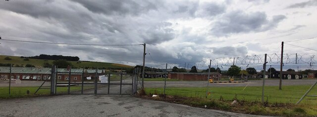
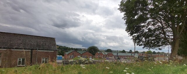
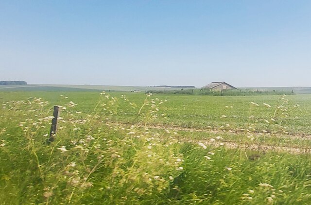
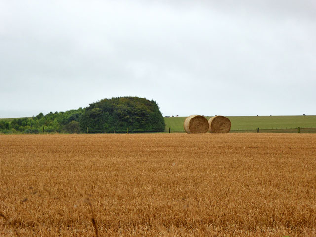
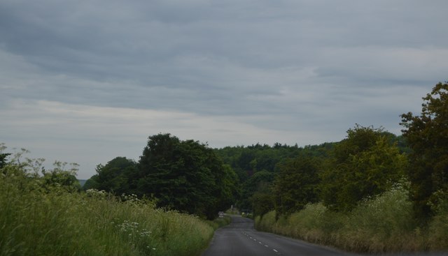
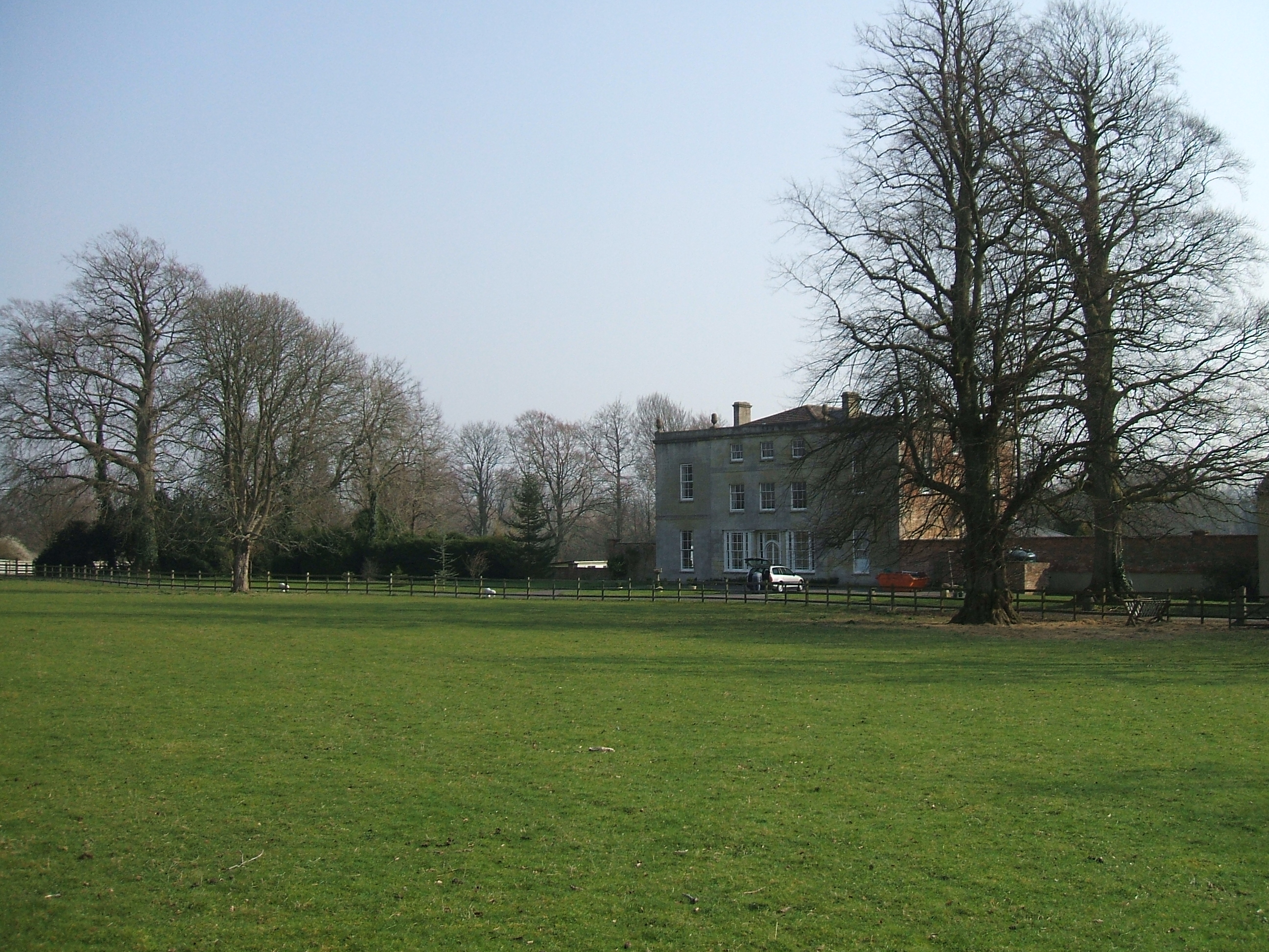
East Barrow Belt is a picturesque wooded area located in the county of Wiltshire, England. Stretching across a vast expanse of land, this forested region is a haven for nature enthusiasts and offers a tranquil escape from the hustle and bustle of urban life.
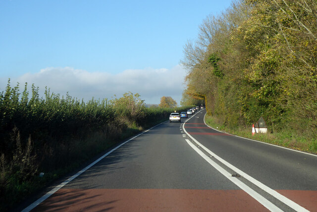
The East Barrow Belt is characterized by its dense and diverse woodland, consisting primarily of oak, beech, and birch trees. The forest floor is covered with a rich carpet of moss, ferns, and wildflowers, creating a vibrant and enchanting atmosphere. This thriving ecosystem provides a habitat for a wide range of wildlife, including deer, foxes, badgers, and numerous species of birds.
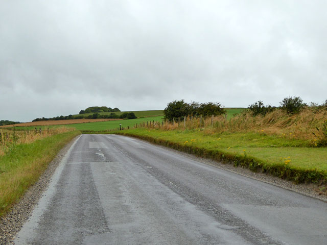
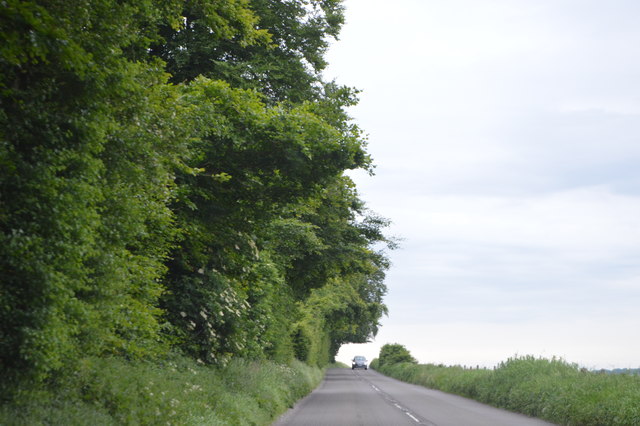
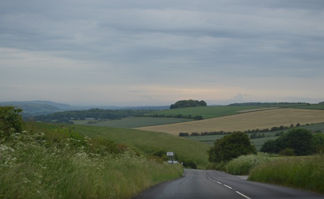
The forest is crisscrossed by a network of well-maintained footpaths, making it easily accessible for visitors who wish to explore its beauty. These trails wind their way through the ancient woodland, leading hikers and nature lovers to stunning viewpoints, hidden glades, and babbling brooks. The serenity of the forest is further enhanced by the absence of road noise, allowing visitors to fully immerse themselves in the peaceful ambiance.
In addition to its natural beauty, East Barrow Belt also holds historical significance. The forest is dotted with remnants of ancient settlements, including burial mounds and archaeological sites, providing a glimpse into the region's past.
Overall, East Barrow Belt in Wiltshire is a captivating woodland that offers a unique blend of natural beauty, wildlife, and historical charm. Whether it's for a leisurely stroll, birdwatching, or simply finding solace in nature, this forested area is a must-visit destination for anyone seeking a peaceful and rejuvenating experience.
If you have any feedback on the listing, please let us know in the comments section below.
East Barrow Belt Images
Images are sourced within 2km of 51.180166/-2.0651292 or Grid Reference ST9542. Thanks to Geograph Open Source API. All images are credited.
East Barrow Belt is located at Grid Ref: ST9542 (Lat: 51.180166, Lng: -2.0651292)
Unitary Authority: Wiltshire
Police Authority: Wiltshire
What 3 Words
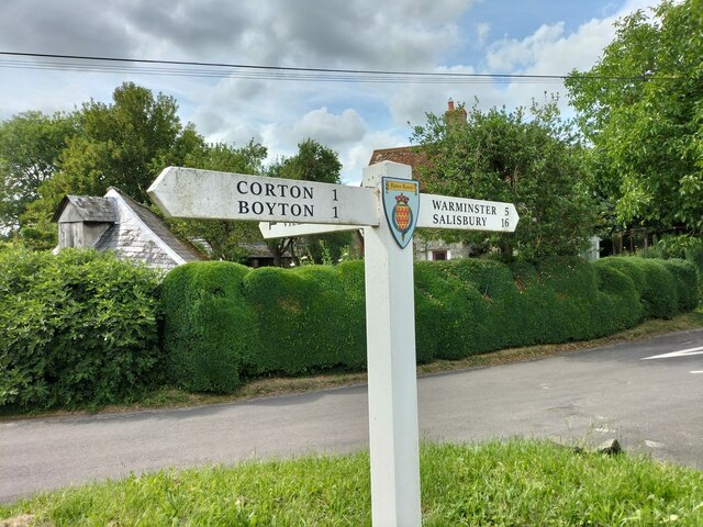
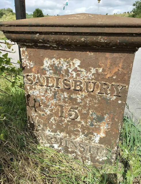
///shower.arrives.conducted. Near Boyton, Wiltshire
Nearby Locations
Related Wikis

Knook Castle
Knook Castle is the site of an Iron Age univallate hillfort on Knook Down, near the village of Knook in Wiltshire, England, but largely within the civil...
Knook
Knook is a small village and civil parish in Wiltshire, England. The village lies to the north of the River Wylye at the edge of Salisbury Plain, about...

Upton Lovell
Upton Lovell is a village and civil parish in Wiltshire, England. It lies on the A36, in the Wylye valley about 5 miles (8.0 km) southeast of Warminster...

Codford railway station
Codford railway station was an intermediate station on the Salisbury branch line of the Great Western Railway built along the Wylye valley to connect Warminster...
Greenways School
Greenways School, also known as Greenways Preparatory School, was an English prep school, founded at Bognor Regis, Sussex, before the Second World War...
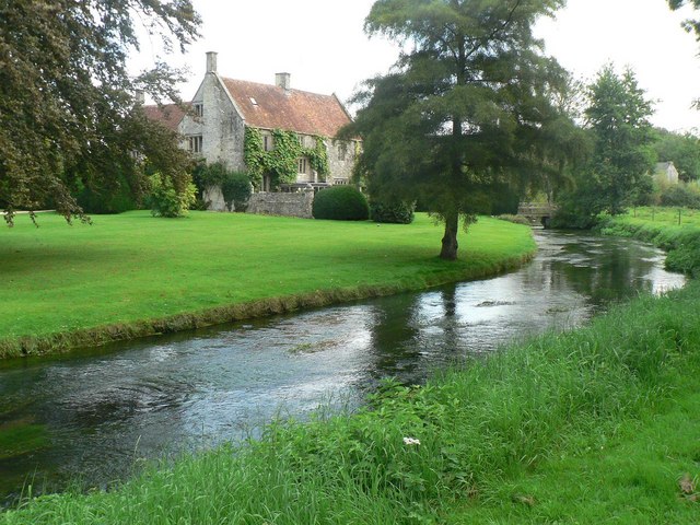
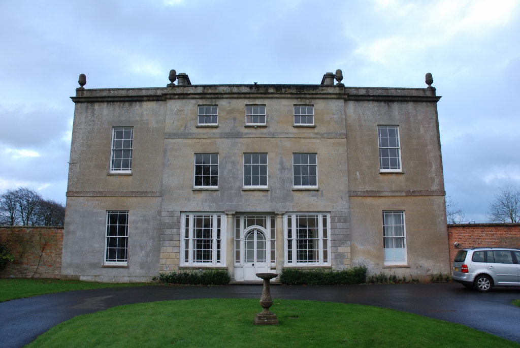
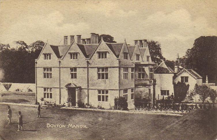
Ashton Gifford House
Ashton Gifford House is a Grade II listed country house in the hamlet of Ashton Gifford, part of the civil parish of Codford in the English county of Wiltshire...

Aston Valley Barrow Cemetery
The Aston Valley Barrow Cemetery, or Ashton Valley Barrow Cemetery, is a group of Bronze Age bowl barrow and bell barrow tumuli on the south facing edge...
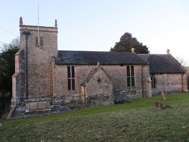
Boyton, Wiltshire
Boyton is a village and civil parish in Wiltshire, England. It lies in the Wylye Valley within Salisbury Plain, about 6 miles (10 km) south-east of Warminster...
Nearby Amenities
Located within 500m of 51.180166,-2.0651292Have you been to East Barrow Belt?
Leave your review of East Barrow Belt below (or comments, questions and feedback).