North Barrow Belt

Wood, Forest in Wiltshire

England

North Barrow Belt

Knook Military Camp
Knook Military Camp Credit: Anthony Parkes

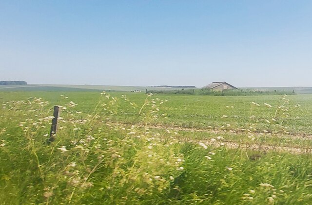
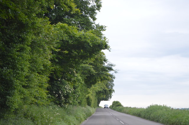
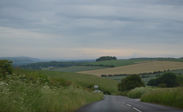
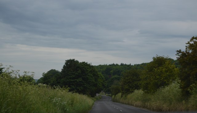
North Barrow Belt is a woodland area located in the county of Wiltshire, England. Situated in the southern part of the county, it covers a total area of approximately 200 hectares. The woodland is part of the larger Cranborne Chase and West Wiltshire Downs Area of Outstanding Natural Beauty.

North Barrow Belt is characterized by its diverse range of tree species and rich biodiversity. It consists predominantly of mixed broadleaf trees, including oak, beech, and ash. The woodland also features a variety of shrubs, wildflowers, and ferns, contributing to its vibrant and picturesque landscape.

The area is popular among nature enthusiasts, hikers, and wildlife watchers due to its abundant wildlife. It provides a habitat for a wide array of species, including deer, foxes, badgers, and various bird species, such as woodpeckers and owls. The woodland also supports a diverse range of insects and small mammals.

North Barrow Belt offers various recreational opportunities for visitors. There are well-maintained footpaths and trails that allow for pleasant walks and hikes through the woods. The tranquility and natural beauty of the area make it an ideal spot for picnics, nature photography, and simply enjoying the peaceful surroundings.

Managed by the local authorities, North Barrow Belt strives to maintain its natural ecosystem while also ensuring its accessibility to the public. Conservation efforts are in place to protect the woodland's flora and fauna, and visitors are encouraged to respect and preserve the natural environment.

If you have any feedback on the listing, please let us know in the comments section below.

North Barrow Belt Images

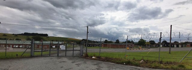
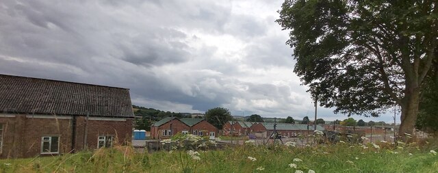
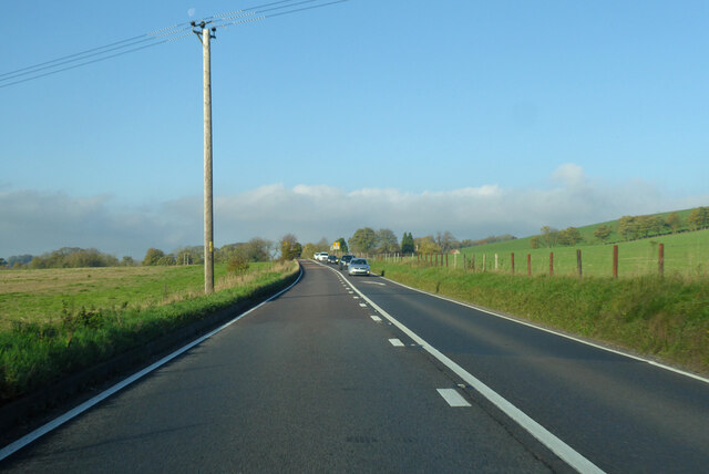
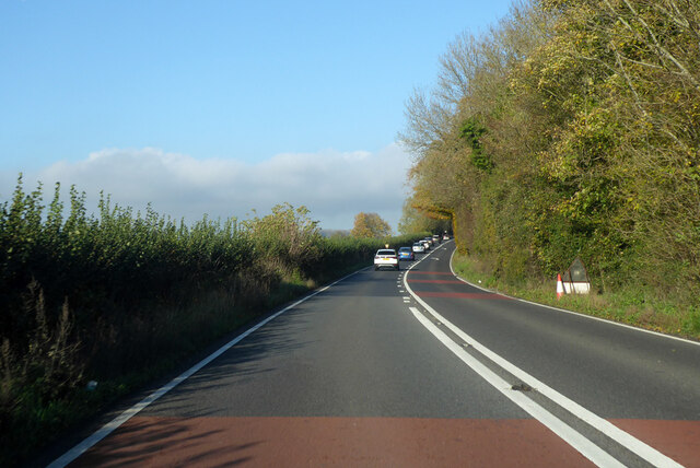
Images are sourced within 2km of 51.183207/-2.0635311 or Grid Reference ST9542. Thanks to Geograph Open Source API. All images are credited.

Knook Military Camp
Knook Military Camp
Knook Camp
Knook Camp
A36 towards Warminster and Bath
Roofed Building marked as a Reservoir on the map
Direction Sign – Signpost at Upton Lovell Located on a grass triangle in the centre of the junction of Lovel Road and Manor Road in Upton Lovell parish. 3 arms and pyramid top.

Milestone Society National ID: WI_ST9441
Direction Sign – Signpost at Upton Lovell
Located on a grass triangle in the centre of the junction of Lovel Road and Manor Road in Upton Lovell parish. 3 arms and pyramid top. Milestone Society National ID: WI_ST9441
Straw bales South of the B390.
Straw bales
South of the B390.
B390 west of Chitterne Heading towards Heytesbury.
B390 west of Chitterne
Heading towards Heytesbury.
B390 The B390 runs 8 miles across Salisbury Plain from Heytesbury to Shrewton.
<span class="nowrap"><a title="http://www.sabre-roads.org.uk/wiki/index.php?title=B390" rel="nofollow ugc noopener" href="http://www.sabre-roads.org.uk/wiki/index.php?title=B390">Link</a><img style="margin-left:2px;" alt="External link" title="External link - shift click to open in new window" src="https://s1.geograph.org.uk/img/external.png" width="10" height="10"/></span>
B390
The B390 runs 8 miles across Salisbury Plain from Heytesbury to Shrewton. LinkExternal link
Ansty Hill The B390 runs 8 miles across Salisbury Plain from Heytesbury to Shrewton.
<span class="nowrap"><a title="http://www.sabre-roads.org.uk/wiki/index.php?title=B390" rel="nofollow ugc noopener" href="http://www.sabre-roads.org.uk/wiki/index.php?title=B390">Link</a><img style="margin-left:2px;" alt="External link" title="External link - shift click to open in new window" src="https://s1.geograph.org.uk/img/external.png" width="10" height="10"/></span>
Ansty Hill
The B390 runs 8 miles across Salisbury Plain from Heytesbury to Shrewton. LinkExternal link
B390 The B390 runs 8 miles across Salisbury Plain from Heytesbury to Shrewton.
<span class="nowrap"><a title="http://www.sabre-roads.org.uk/wiki/index.php?title=B390" rel="nofollow ugc noopener" href="http://www.sabre-roads.org.uk/wiki/index.php?title=B390">Link</a><img style="margin-left:2px;" alt="External link" title="External link - shift click to open in new window" src="https://s1.geograph.org.uk/img/external.png" width="10" height="10"/></span>
B390
The B390 runs 8 miles across Salisbury Plain from Heytesbury to Shrewton. LinkExternal link
Ordnance Survey Flush Bracket 66 This can be found on the wall of a house - a private dwelling - at Upton Folly.
For more detail see : <span class="nowrap"><a title="http://www.bench-marks.org.uk/bm2045" rel="nofollow ugc noopener" href="http://www.bench-marks.org.uk/bm2045">Link</a><img style="margin-left:2px;" alt="External link" title="External link - shift click to open in new window" src="https://s1.geograph.org.uk/img/external.png" width="10" height="10"/></span>
Ordnance Survey Flush Bracket 66
This can be found on the wall of a house - a private dwelling - at Upton Folly. For more detail see : LinkExternal link
Road from Upton Lovell at its junction with the A36 at Upton Folly Looking north-eastward.
Road from Upton Lovell at its junction with the A36 at Upton Folly
Looking north-eastward.
Old Milestone by the B390, Ansty Hill, west of Chitterne Carved stone post by the B390, in parish of UPTON LOVELL (WEST WILTSHIRE District), Ansty Hill, top of hill, 100m East of line of trees on verge, on South side of road. Amesbury stone, erected by the Amesbury turnpike trust in the 18th century. 

Inscription reads:-
(??)
Mil(es) fr(om)
L(ON)DON
XIII
from
Amesbury  
Carved benchmark lower right side.

Grade II listed. List Entry Number: 1181815
<span class="nowrap"><a title="https://historicengland.org.uk/listing/the-list/list-entry/1181815" rel="nofollow ugc noopener" href="https://historicengland.org.uk/listing/the-list/list-entry/1181815">Link</a><img style="margin-left:2px;" alt="External link" title="External link - shift click to open in new window" src="https://s1.geograph.org.uk/img/external.png" width="10" height="10"/></span>

Milestone Society National ID: WI_AMHE13.
Old Milestone by the B390, Ansty Hill, west of Chitterne
Carved stone post by the B390, in parish of UPTON LOVELL (WEST WILTSHIRE District), Ansty Hill, top of hill, 100m East of line of trees on verge, on South side of road. Amesbury stone, erected by the Amesbury turnpike trust in the 18th century. Inscription reads:- (??) Mil(es) fr(om) L(ON)DON XIII from Amesbury Carved benchmark lower right side. Grade II listed. List Entry Number: 1181815 LinkExternal link Milestone Society National ID: WI_AMHE13.
Old Milepost by the A36, Warminster Road, Upton Lovell Cast iron post by the A36, in parish of Upton Lovell (West Wiltshire District), Warminster Road; Upton Lovell; 550m West of crossroad to Upton Lovell, on embankment, on North side of road. C&M Classical iron casting, erected by the Fisherton, Wilton, Heytesbury, Willoughby Hedge & Redhone turnpike trust in the 19th century. 

Inscription reads:-
SALISBURY
16
(WARMINSTER)
(5) 

Milestone Society National ID: WI_SAWM16
Old Milepost by the A36, Warminster Road, Upton Lovell
Cast iron post by the A36, in parish of Upton Lovell (West Wiltshire District), Warminster Road; Upton Lovell; 550m West of crossroad to Upton Lovell, on embankment, on North side of road. C&M Classical iron casting, erected by the Fisherton, Wilton, Heytesbury, Willoughby Hedge & Redhone turnpike trust in the 19th century. Inscription reads:- SALISBURY 16 (WARMINSTER) (5) Milestone Society National ID: WI_SAWM16
Old Milestone by the B390, Knook Camp Carved stone post by the B390, in parish of Knook (West Wiltshire District), Knook Camp; 350m East of entrance to West Farm Barns, on bend on embankment, on North side of road. Amesbury stone, erected by the Amesbury turnpike trust in the 19th century. Damaged.

Inscription reads:-
....om
....
from
Amesbury
(14)
(buried)

Milestone Society National ID: WI_AMHE14
Old Milestone by the B390, Knook Camp
Carved stone post by the B390, in parish of Knook (West Wiltshire District), Knook Camp; 350m East of entrance to West Farm Barns, on bend on embankment, on North side of road. Amesbury stone, erected by the Amesbury turnpike trust in the 19th century. Damaged. Inscription reads:- ....om .... from Amesbury (14) (buried) Milestone Society National ID: WI_AMHE14
Old Toll House by the A36, Upton Folly Codford Toll House (and weigh engine) by the A36, in parish of Upton Lovell (West Wiltshire District), tollhouse, Manor Road junction (Stone hut opposite is WI.ULOH <a href="https://www.geograph.org.uk/photo/6115156">ST9441 : Old Toll House by the A36, Upton Folly</a>).

Grade II listed together with shelter opposite.
List Entry Number: 1422057 <span class="nowrap"><a title="https://historicengland.org.uk/listing/the-list/list-entry/1422057" rel="nofollow ugc noopener" href="https://historicengland.org.uk/listing/the-list/list-entry/1422057">Link</a><img style="margin-left:2px;" alt="External link" title="External link - shift click to open in new window" src="https://s1.geograph.org.uk/img/external.png" width="10" height="10"/></span>

Surveyed

Milestone Society National ID: WI.ULO
Old Toll House by the A36, Upton Folly
Codford Toll House (and weigh engine) by the A36, in parish of Upton Lovell (West Wiltshire District), tollhouse, Manor Road junction (Stone hut opposite is WI.ULOH ST9441 : Old Toll House by the A36, Upton Folly). Grade II listed together with shelter opposite. List Entry Number: 1422057 LinkExternal link Surveyed Milestone Society National ID: WI.ULO
Old Toll House by the A36, Upton Folly Codford Toll House (hut) by the A36, in parish of Upton Lovell (West Wiltshire District), bus shelter, Manor Road junction (toll house opposite is WI.ULO <a href="https://www.geograph.org.uk/photo/6115119">ST9441 : Old Toll House by the A36, Upton Folly</a>).

Grade II listed together with toll house opposite.
List Entry Number: 1422057 <span class="nowrap"><a title="https://historicengland.org.uk/listing/the-list/list-entry/1422057" rel="nofollow ugc noopener" href="https://historicengland.org.uk/listing/the-list/list-entry/1422057">Link</a><img style="margin-left:2px;" alt="External link" title="External link - shift click to open in new window" src="https://s1.geograph.org.uk/img/external.png" width="10" height="10"/></span>
Surveyed

Milestone Society National ID: WI.ULOH
Old Toll House by the A36, Upton Folly
Codford Toll House (hut) by the A36, in parish of Upton Lovell (West Wiltshire District), bus shelter, Manor Road junction (toll house opposite is WI.ULO ST9441 : Old Toll House by the A36, Upton Folly). Grade II listed together with toll house opposite. List Entry Number: 1422057 LinkExternal link Surveyed Milestone Society National ID: WI.ULOH
Show me another place!

North Barrow Belt is located at Grid Ref: ST9542 (Lat: 51.183207, Lng: -2.0635311)

Unitary Authority: Wiltshire

Police Authority: Wiltshire

What 3 Words

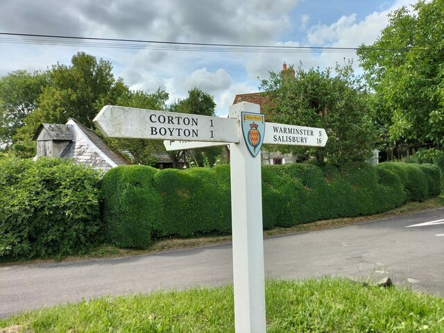
///claim.purchaser.lousy. Near Boyton, Wiltshire

Related Wikis

Knook Castle

Knook Castle is the site of an Iron Age univallate hillfort on Knook Down, near the village of Knook in Wiltshire, England, but largely within the civil...

Knook

Knook is a small village and civil parish in Wiltshire, England. The village lies to the north of the River Wylye at the edge of Salisbury Plain, about...

Upton Lovell

Upton Lovell is a village and civil parish in Wiltshire, England. It lies on the A36, in the Wylye valley about 5 miles (8.0 km) southeast of Warminster...

Aston Valley Barrow Cemetery

The Aston Valley Barrow Cemetery, or Ashton Valley Barrow Cemetery, is a group of Bronze Age bowl barrow and bell barrow tumuli on the south facing edge...

Nearby Amenities

Located within 500m of 51.183207,-2.0635311
Knook Horse Hill
Ele: 178
Natural: peak
Lat/Long: 51.1799475/-2.0657223
The data included in this document is from www.openstreetmap.org. The data is made available under ODbL.

Have you been to North Barrow Belt?

Leave your review of North Barrow Belt below (or comments, questions and feedback).