Little Broughton Wood

Wood, Forest in Worcestershire Wychavon

England

Little Broughton Wood

Shell Manor Shell Manor is one of a number of impressive half-timbered manor houses in this area of Worcestershire.
Shell Manor Credit: Philip Halling

Little Broughton Wood is a picturesque forest located in Worcestershire, England. Covering an area of approximately 50 acres, this woodland is a haven for nature enthusiasts and those seeking tranquility amidst the bustling city life.

The wood is predominantly made up of native broadleaf trees such as oak, beech, and birch, creating a diverse and vibrant ecosystem. The canopy of the trees provides a cool shade during the summer months and a stunning display of colors during autumn. The forest floor is carpeted with a rich variety of wildflowers, ferns, and mosses, adding to the enchanting atmosphere of the woodland.

The wood is home to a wide range of wildlife, including various bird species like woodpeckers, owls, and songbirds. Visitors may also catch a glimpse of small mammals such as squirrels, rabbits, and hedgehogs. There have been occasional sightings of larger animals like deer and foxes as well.

Several well-marked trails wind their way through the wood, making it easy for visitors to explore the area. These paths offer stunning views of the surrounding countryside and provide opportunities for leisurely walks, picnics, or birdwatching. The wood is also a popular spot for photographers and artists seeking inspiration from its natural beauty.

Little Broughton Wood is a cherished local gem, offering a peaceful retreat for those looking to connect with nature. With its diverse flora and fauna, scenic trails, and serene ambiance, this woodland is a must-visit destination for anyone seeking a respite from the demands of modern life.

If you have any feedback on the listing, please let us know in the comments section below.

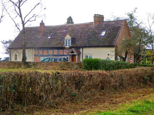
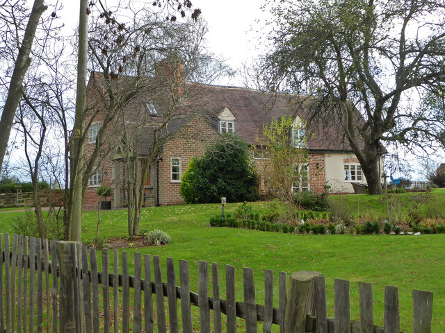
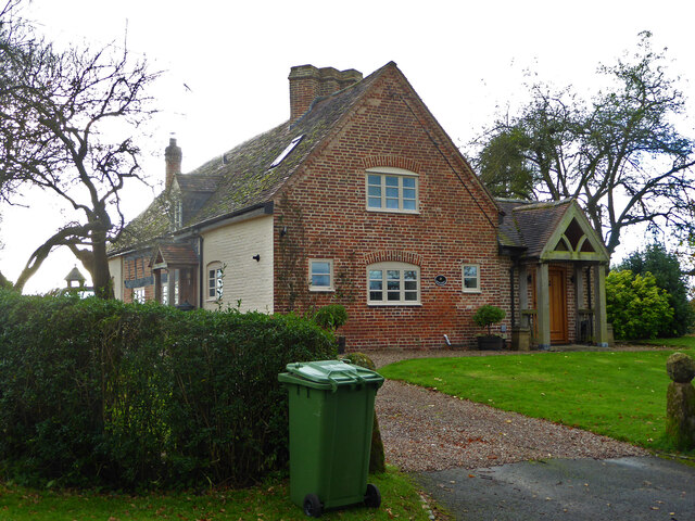
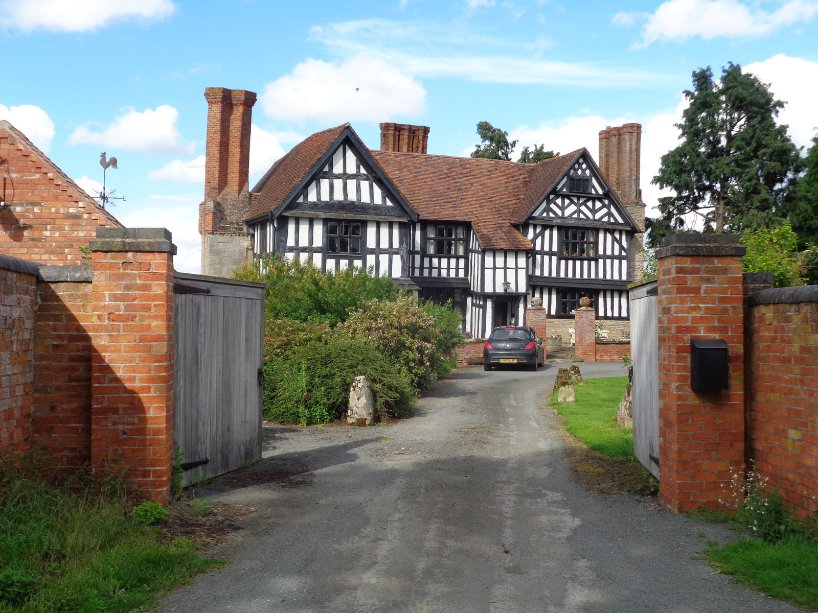
Little Broughton Wood Images

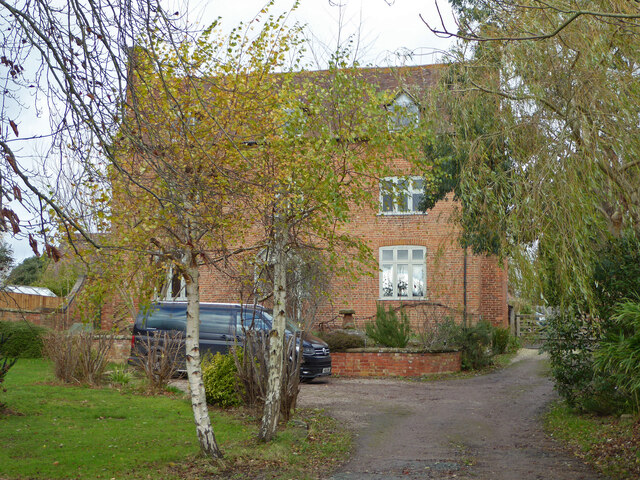
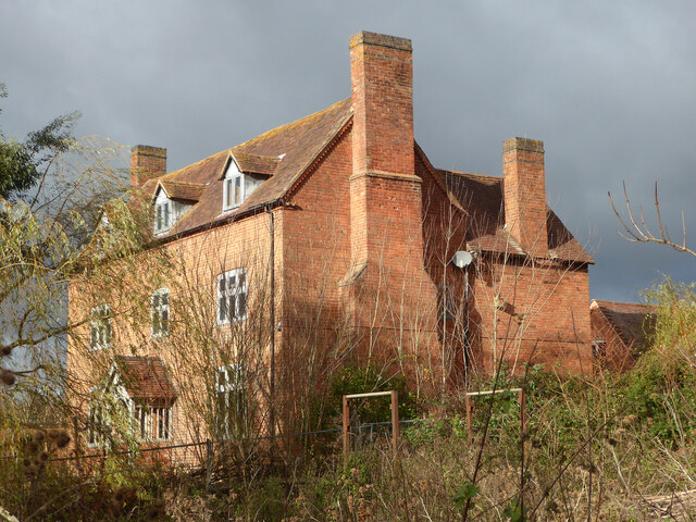
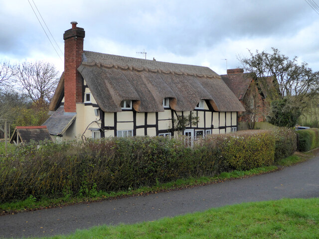
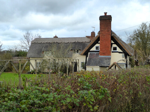
Images are sourced within 2km of 52.253708/-2.0650555 or Grid Reference SO9561. Thanks to Geograph Open Source API. All images are credited.

Shell Manor Shell Manor is one of a number of impressive half-timbered manor houses in this area of Worcestershire.
Shell Manor
Shell Manor is one of a number of impressive half-timbered manor houses in this area of Worcestershire.
Road junction, Shell The sign on the left warns of Shell Ford a couple of hundred metres down the road.
Road junction, Shell
The sign on the left warns of Shell Ford a couple of hundred metres down the road.
Country road near Shell A milepost can be seen in the hedge on the left.
Country road near Shell
A milepost can be seen in the hedge on the left.
Milepost near Shell 'To Worcester Cross 9 Miles'
Milepost near Shell
'To Worcester Cross 9 Miles'
Mere Green Farmhouse Grade II Listed. Listed as in Hanbury ward. The view from the public road. There are two further listed buildings in the complex but there are no good trespass free views.
Mere Green Farmhouse
Grade II Listed. Listed as in Hanbury ward. The view from the public road. There are two further listed buildings in the complex but there are no good trespass free views.
Mere Green Farmhouse Grade II Listed. This was the best view I could manage from a public place. The complex includes two further listed buildings but I could not get a meaningful view of those from public places.
Mere Green Farmhouse
Grade II Listed. This was the best view I could manage from a public place. The complex includes two further listed buildings but I could not get a meaningful view of those from public places.
Well Cottage, Hanbury A 17th century house with a thatched roof, Listed Grade II.
Well Cottage, Hanbury
A 17th century house with a thatched roof, Listed Grade II.
Well Cottage, Hanbury A 17th century thatched dwelling, Listed Grade II.
Well Cottage, Hanbury
A 17th century thatched dwelling, Listed Grade II.
Dovecote by Pumphouse Farm Early 17th century dovecote, Listed Grade II. Difficult to get a clear view over the hedge from the public road. There is no convenient public footpath here.
Dovecote by Pumphouse Farm
Early 17th century dovecote, Listed Grade II. Difficult to get a clear view over the hedge from the public road. There is no convenient public footpath here.
Barn at Pumphouse Farm, Hanbury Grade II Listed.
Barn at Pumphouse Farm, Hanbury
Grade II Listed.
Pumphouse Farmhouse, Hanbury Grade II Listed.
Pumphouse Farmhouse, Hanbury
Grade II Listed.
White House Cottage, Hanbury Early 18th century with late 19th and early 20th century alterations. Grade II Listed.
White House Cottage, Hanbury
Early 18th century with late 19th and early 20th century alterations. Grade II Listed.
Appleby, Hanbury An early 17th century house with late 19th and mid-20th century alterations and additions. Listed Grade II.
Appleby, Hanbury
An early 17th century house with late 19th and mid-20th century alterations and additions. Listed Grade II.
Appleby, Hanbury An early 17th century house with late 19th and mid-20th century alterations and additions. Listed Grade II.
Appleby, Hanbury
An early 17th century house with late 19th and mid-20th century alterations and additions. Listed Grade II.
Appleby, Hanbury An early 17th century house with late 19th and mid-20th century alterations and additions. Listed Grade II.
Appleby, Hanbury
An early 17th century house with late 19th and mid-20th century alterations and additions. Listed Grade II.
Public footpath off Pumphouse Lane, Hanbury Hanbury Church is seen on the hill in the background
Public footpath off Pumphouse Lane, Hanbury
Hanbury Church is seen on the hill in the background
The White House, Hanbury A large old house in this Worcestershire village. I thought at first it must be one of the local listed buildings but soon realised it does not have any statutory protection.
The White House, Hanbury
A large old house in this Worcestershire village. I thought at first it must be one of the local listed buildings but soon realised it does not have any statutory protection.
Signpost at the junction of Loggerheads Lane and Pumphouse Lane, Hanbury Hanbury Church is in the right background.
Signpost at the junction of Loggerheads Lane and Pumphouse Lane, Hanbury
Hanbury Church is in the right background.
Show me another place!

Little Broughton Wood is located at Grid Ref: SO9561 (Lat: 52.253708, Lng: -2.0650555)

Administrative County: Worcestershire

District: Wychavon

Police Authority: West Mercia

What 3 Words

///cuddled.nibbled.funky. Near Stoke Prior, Worcestershire

Related Wikis

Mere Green, Worcestershire

Mere Green is a hamlet in the English county of Worcestershire. It is located south of the village of Hanbury roughly midway between Worcester and Redditch...

Hanbury, Worcestershire

Hanbury is a rural village in Worcestershire, England near Droitwich Spa and the M5 motorway. The population of Hanbury has remained around 1,000 since...

Shell, Worcestershire

Shell is a hamlet in the civil parish of Himbleton, in the Wychavon district, in the county of Worcestershire, England. It is 7 miles from Worcester. In...

Hanbury Hall

Hanbury Hall is a large 18th-century stately home standing in parkland at Hanbury, Worcestershire. The main range has two storeys and is built of red brick...

Nearby Amenities

Located within 500m of 52.253708,-2.0650555
Power: pole
Lat/Long: 52.2523867/-2.0694588
Little Lodge Poultry Unit
Power: pole
Transformer: distribution
Voltage Primary: 11000
Lat/Long: 52.2512769/-2.0673343
Power: pole
Lat/Long: 52.2533869/-2.0705931
Power: pole
Lat/Long: 52.2515462/-2.0684823
Power: pole
Lat/Long: 52.2529961/-2.0701372
Power: pole
Lat/Long: 52.2537563/-2.0716794
Power: pole
Lat/Long: 52.2539599/-2.0722883
Power: pole
Lat/Long: 52.2510961/-2.0692228
Power: pole
Lat/Long: 52.2519813/-2.0689923
Power: pole
Lat/Long: 52.2552406/-2.0662721
Power: pole
Lat/Long: 52.2578618/-2.0655305
Power: pole
Lat/Long: 52.2567619/-2.0655828
Power: pole
Lat/Long: 52.2536218/-2.0669427
Little Lodge Drive
Power: pole
Transformer: distribution
Voltage Primary: 11000
Lat/Long: 52.2521062/-2.0658603
Power: pole
Lat/Long: 52.2529412/-2.0641933
Power: pole
Lat/Long: 52.2526727/-2.0687664
Little Lodge Farm
Power: pole
Transformer: distribution
Voltage Primary: 11000
Lat/Long: 52.2537901/-2.0625249
Power: pole
Lat/Long: 52.252534/-2.0650141
Power: pole
Lat/Long: 52.2533541/-2.0633765
Power: pole
Lat/Long: 52.251626/-2.0667185
The data included in this document is from www.openstreetmap.org. The data is made available under ODbL.

Have you been to Little Broughton Wood?

Leave your review of Little Broughton Wood below (or comments, questions and feedback).